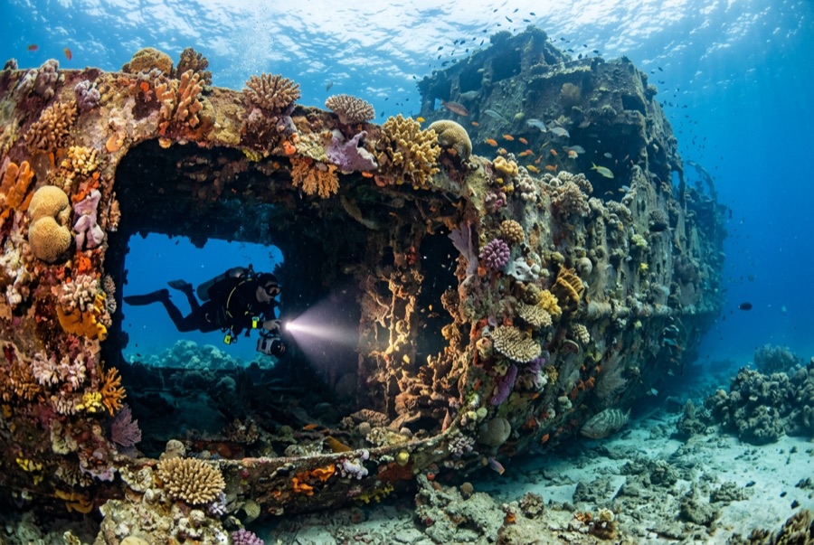
Doña Marilyn
수심은 사이트 상단부터 통상적인 최대 수심까지의 범위이며, '권장 자격증'은 업체에서 통상적으로 요구하는 주요 인증 기관 기준이지 법적 규정이 아닙니다. 조류와 시야는 매일 달라지므로, 모든 정보는 계획 수립용 참고 범위로 활용하세요.
The Doña Marilyn was an inter-island passenger ferry lost in Typhoon Unsang in October 1988, a disaster that killed a large number of the people aboard; accounts of the toll vary into the hundreds. The roughly 90 m hull now lies on its starboard side on sand at about 33 m, thickly furred in black coral and soft growth, sheltering scorpionfish, sweetlips, and clouds of baitfish, with rays sometimes resting in its lee. Dive it as what it is, a grave as well as a reef: no souvenirs, restrained penetration for the trained only, and quiet respect for the door frames people once walked through.
바로 그 순간: A large, coral-carpeted ferry hull, rich fish life, sobering history handled respectfully
지형: Hull lying on its starboard side on sand at about 33 m
조류: Exposed position; current across the hull is common and dives are planned around it.
진입: Roughly an hour's boat ride from Malapascua in open water; dived when seas allow.
입수 전에 알아두세요
위험 요소: Depth, nets and snagged lines in places, silt inside, and open-sea current; penetration only with wreck training.
보존: Treat as a maritime grave: take nothing, disturb nothing, and keep contact off the hull's growth.
나이트록스: 여기서는 가치 있습니다 — 수치 범위상 나이트록스를 사용하면 무감압 시간을 의미 있게 연장할 수 있습니다(단, 관련 교육 이수 필요).
만날 수 있는 생물
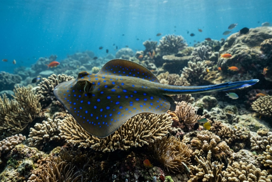
Blue-Spotted Ribbontail Ray
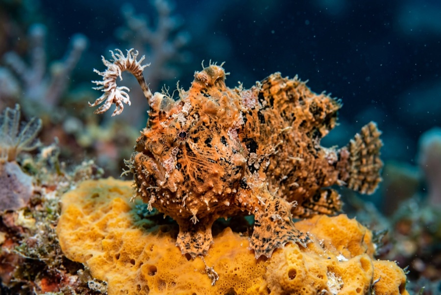
Frogfish
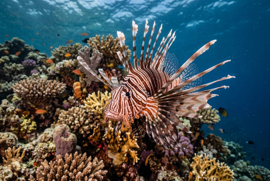
Lionfish

Nudibranchs
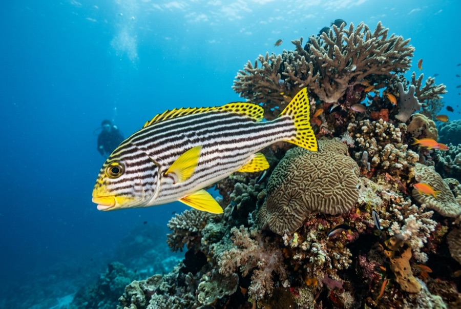
Oriental Sweetlips
수중 촬영자를 위한 정보
광각: ★★★★☆ · 마크로: ★★★☆☆ — 각 촬영 스타일에 대한 에디터의 1–5점 평가