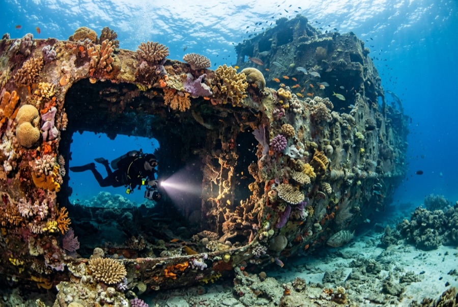
Doña Marilyn
A profundidade indica a faixa desde o topo do ponto até o seu máximo habitual; a "certificação recomendada" é o nível das agências convencionais que os operadores costumam exigir, não uma exigência legal. Correntes e visibilidade mudam diariamente — trate tudo aqui como referências de planejamento.
The Doña Marilyn was an inter-island passenger ferry lost in Typhoon Unsang in October 1988, a disaster that killed a large number of the people aboard; accounts of the toll vary into the hundreds. The roughly 90 m hull now lies on its starboard side on sand at about 33 m, thickly furred in black coral and soft growth, sheltering scorpionfish, sweetlips, and clouds of baitfish, with rays sometimes resting in its lee. Dive it as what it is, a grave as well as a reef: no souvenirs, restrained penetration for the trained only, and quiet respect for the door frames people once walked through.
O momento pelo qual você vem: A large, coral-carpeted ferry hull, rich fish life, sobering history handled respectfully
Topografia: Hull lying on its starboard side on sand at about 33 m
Corrente: Exposed position; current across the hull is common and dives are planned around it.
Entrada: Roughly an hour's boat ride from Malapascua in open water; dived when seas allow.
Sabe antes de entrar na água
Perigos: Depth, nets and snagged lines in places, silt inside, and open-sea current; penetration only with wreck training.
Conservação: Treat as a maritime grave: take nothing, disturb nothing, and keep contact off the hull's growth.
Nitrox: Vale a pena aqui — os perfis situam-se na faixa em que o nitrox prolonga significativamente o tempo sem paragem (com a formação adequada para o usar).
Quem vai encontrar
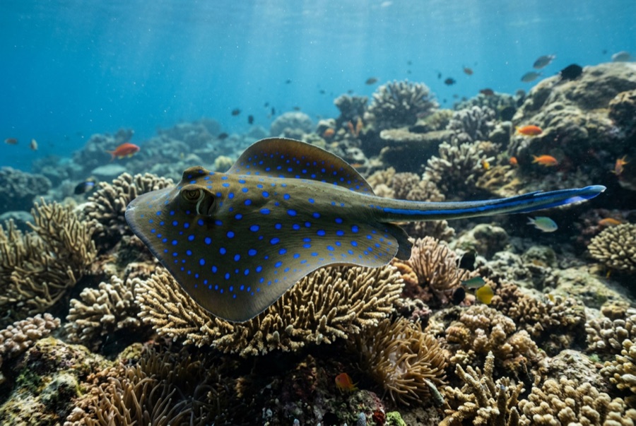
Blue-Spotted Ribbontail Ray
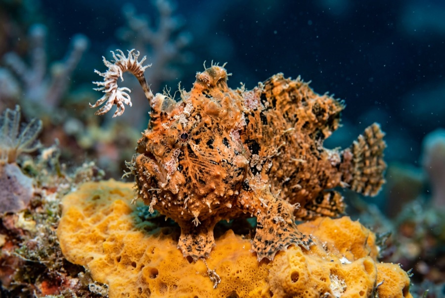
Frogfish
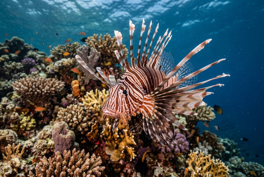
Lionfish

Nudibranchs
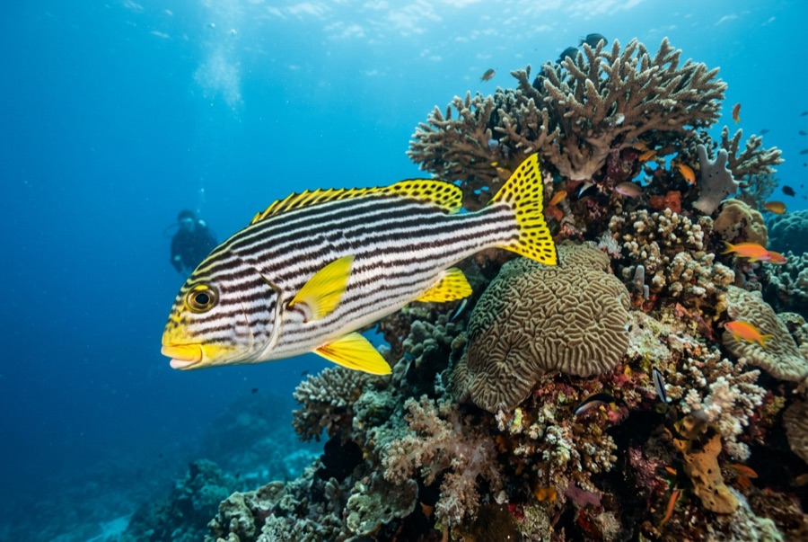
Oriental Sweetlips
Para fotógrafos
Grande angular: ★★★★☆ · Macro: ★★★☆☆ — classificação de 1–5 dos editores sobre o que este sítio oferece a cada estilo de fotografia