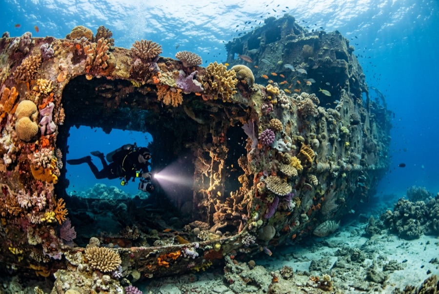
Doña Marilyn
Глубина — это диапазон от верхней точки сайта до обычного максимума; «рекомендуемый сертификат» — это уровень, который операторы обычно запрашивают согласно стандартам mainstream-агентств, а не юридическое требование. Течения и видимость меняются ежедневно — используйте все данные здесь как ориентиры для планирования.
The Doña Marilyn was an inter-island passenger ferry lost in Typhoon Unsang in October 1988, a disaster that killed a large number of the people aboard; accounts of the toll vary into the hundreds. The roughly 90 m hull now lies on its starboard side on sand at about 33 m, thickly furred in black coral and soft growth, sheltering scorpionfish, sweetlips, and clouds of baitfish, with rays sometimes resting in its lee. Dive it as what it is, a grave as well as a reef: no souvenirs, restrained penetration for the trained only, and quiet respect for the door frames people once walked through.
Момент, ради которого вы приехали: A large, coral-carpeted ferry hull, rich fish life, sobering history handled respectfully
Рельеф дна: Hull lying on its starboard side on sand at about 33 m
Течение: Exposed position; current across the hull is common and dives are planned around it.
Вход: Roughly an hour's boat ride from Malapascua in open water; dived when seas allow.
Узнай до того, как войдёшь в воду
Опасности: Depth, nets and snagged lines in places, silt inside, and open-sea current; penetration only with wreck training.
Охрана природы: Treat as a maritime grave: take nothing, disturb nothing, and keep contact off the hull's growth.
Найтрокс: Здесь это оправдано — профили попадают в диапазон, где обогащённая воздушная смесь (найтрокс) реально увеличивает бездекомпрессионное время (при наличии соответствующего сертификата).
Кого вы встретите
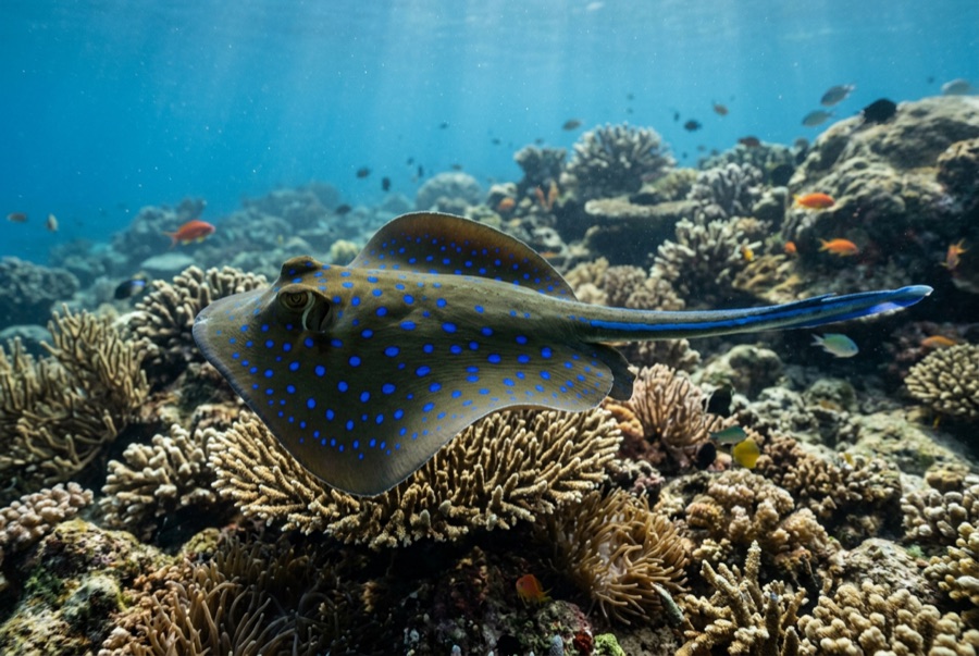
Blue-Spotted Ribbontail Ray
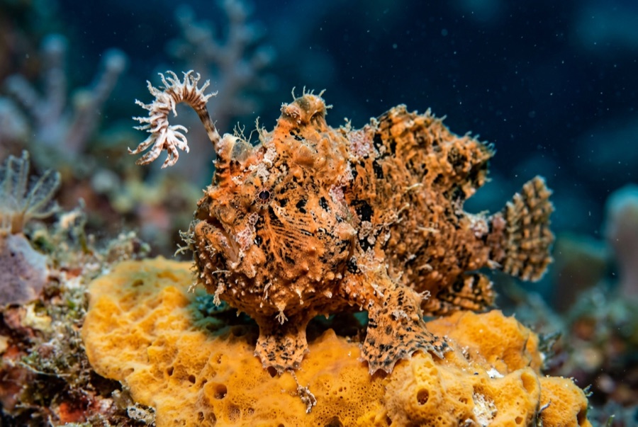
Frogfish
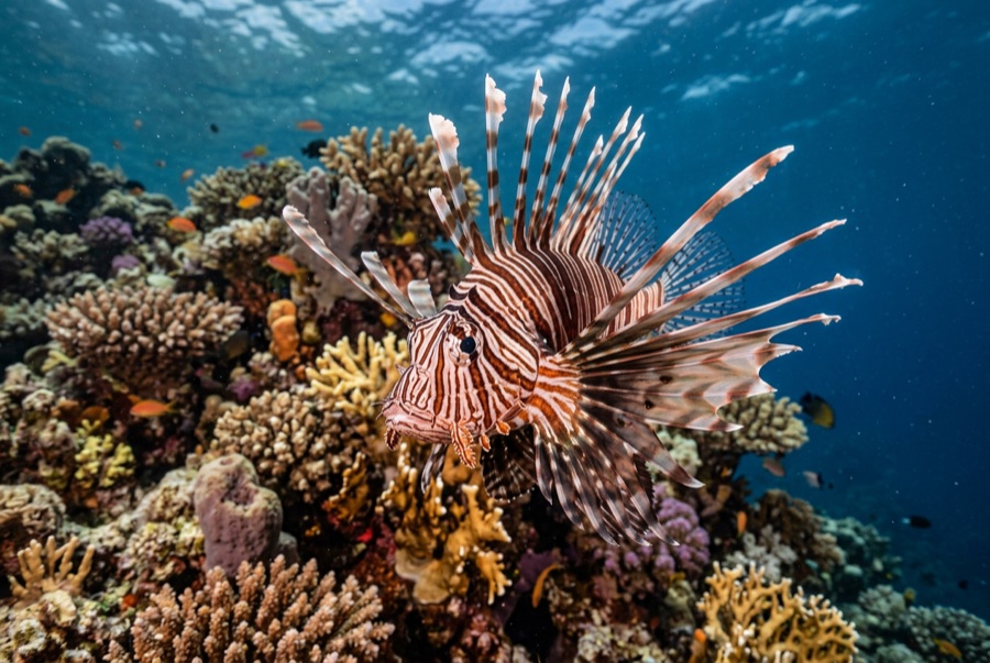
Lionfish

Nudibranchs
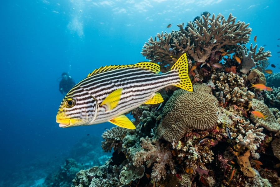
Oriental Sweetlips
Для фотографов
Широкий угол: ★★★★☆ · Макро: ★★★☆☆ — редакторская оценка от 1 до 5 — что это место даёт каждому стилю съёмки