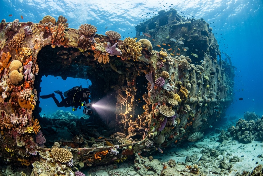
Doña Marilyn
深度范围指从潜点顶部到通常最大深度;"建议认证等级"是运营商通常要求的主流机构等级,并非法律规定。水流和能见度每天都会变化,请将这里的所有信息视为规划参考范围。
The Doña Marilyn was an inter-island passenger ferry lost in Typhoon Unsang in October 1988, a disaster that killed a large number of the people aboard; accounts of the toll vary into the hundreds. The roughly 90 m hull now lies on its starboard side on sand at about 33 m, thickly furred in black coral and soft growth, sheltering scorpionfish, sweetlips, and clouds of baitfish, with rays sometimes resting in its lee. Dive it as what it is, a grave as well as a reef: no souvenirs, restrained penetration for the trained only, and quiet respect for the door frames people once walked through.
您此行的高光时刻: A large, coral-carpeted ferry hull, rich fish life, sobering history handled respectfully
地形地貌: Hull lying on its starboard side on sand at about 33 m
水流: Exposed position; current across the hull is common and dives are planned around it.
入水方式: Roughly an hour's boat ride from Malapascua in open water; dived when seas allow.
入水前须知
危险因素: Depth, nets and snagged lines in places, silt inside, and open-sea current; penetration only with wreck training.
保育: Treat as a maritime grave: take nothing, disturb nothing, and keep contact off the hull's growth.
高氧(Nitrox): 在此值得使用:这些潜点的深度范围内,富氧空气(nitrox)能有效延长免减压停留时间,前提是您已接受相关培训。
你会遇见谁
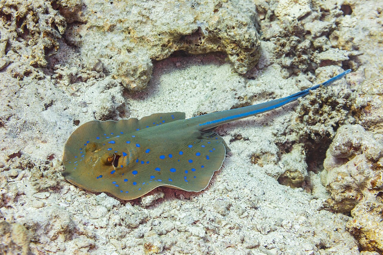
Blue-Spotted Ribbontail Ray
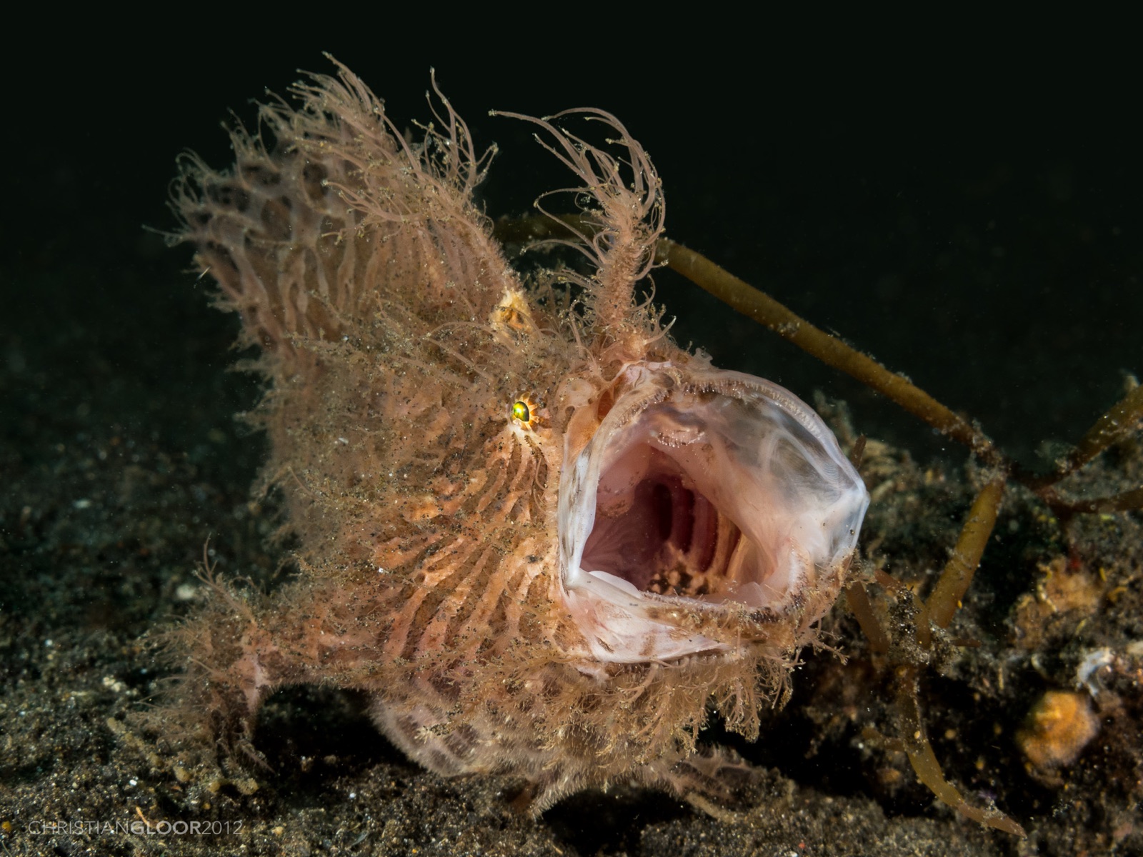
Frogfish

Lionfish

Nudibranchs
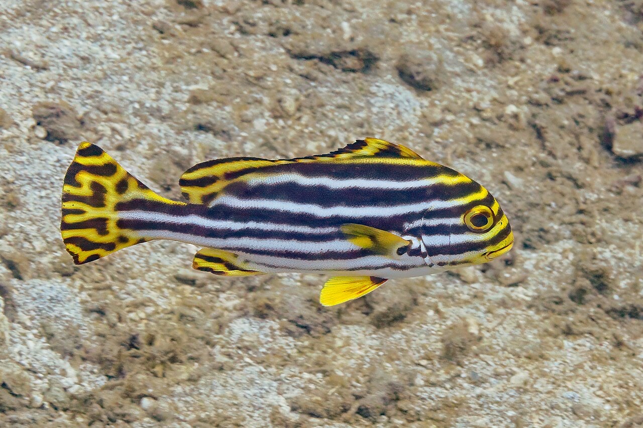
Oriental Sweetlips
"已标注于此"的物种由编辑团队从本页所列来源中整理收录。数量为GBIF出现记录数:即1990年以来在标注位置约5公里范围内记录的观测数据,仅与我们目录中的物种进行匹配。这些数据反映的是该地点的历史目击情况,并非对您此行所见的保证。
摄影师专区
广角: ★★★★☆ · 微距: ★★★☆☆ (编辑对该潜点适合各类水下摄影风格的1–5分评级)