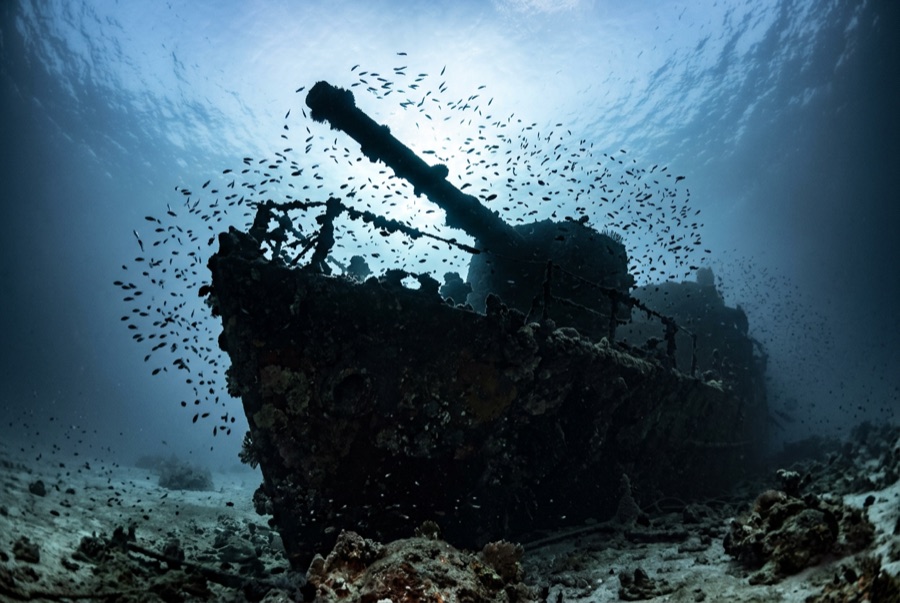
Maldive Victory
La profondeur correspond à la plage allant du sommet du site jusqu'à son maximum habituel ; le « niveau recommandé » est le niveau demandé en général par les opérateurs auprès des grandes agences, pas une règle légale. Les courants et la visibilité varient chaque jour, traitez donc tout cela comme des plages indicatives de planification.
The Maldive Victory, a cargo ship that struck the reef by Hulhulé and sank in 1981, is the central atolls' flagship wreck: upright, largely intact, and deep enough to feel serious. Descending the line, the superstructure resolves first, wrapped in encrusting growth and circled by batfish and snapper; trevally and barracuda work the current shadow, and morays live in the holds where cargo once did. Depth, current, and airport boat traffic make this an advanced dive (and a short one at the bottom), but few wrecks anywhere sit five minutes from an international runway.
Le moment pour lequel vous venez: Upright, intact hull; fish-swarmed superstructure; a genuine current-and-depth challenge
Topographie: Intact freighter sitting upright on flat sand beside the airport-island reef
Courant: Tidal current over the wreck can be fierce; dives are timed for slack and use the mooring lines for descent and ascent.
À savoir avant de plonger
Dangers: Strong current, 35-meter seabed, overhead structure, and heavy surface traffic near the airport.
Conservation: Take nothing from the wreck; artifact stripping has already bared much of the interior.
Nitrox: Pertinent ici : les profils se situent dans la plage où le nitrox prolonge significativement le temps sans palier (avec la formation pour l'utiliser).
Qui vous croiserez

Lionfish

Nudibranchs
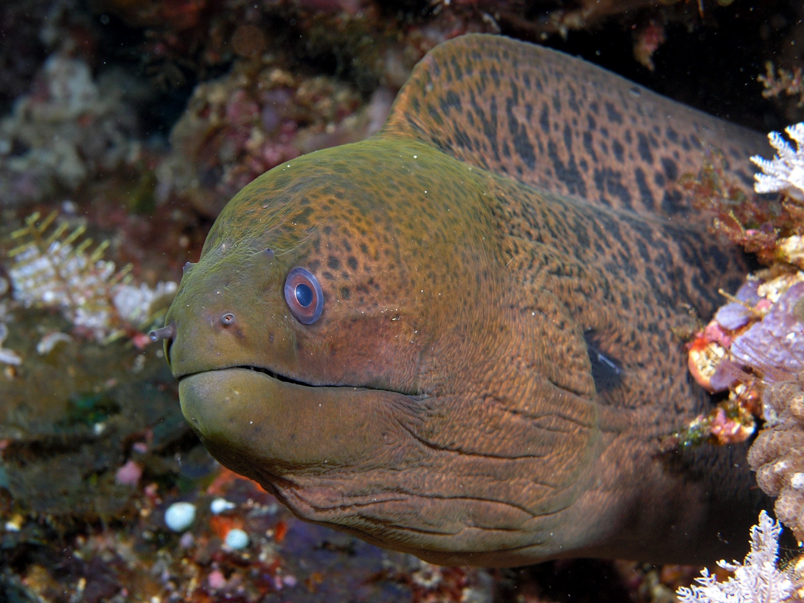
Giant Moray Eel

Great Barracuda
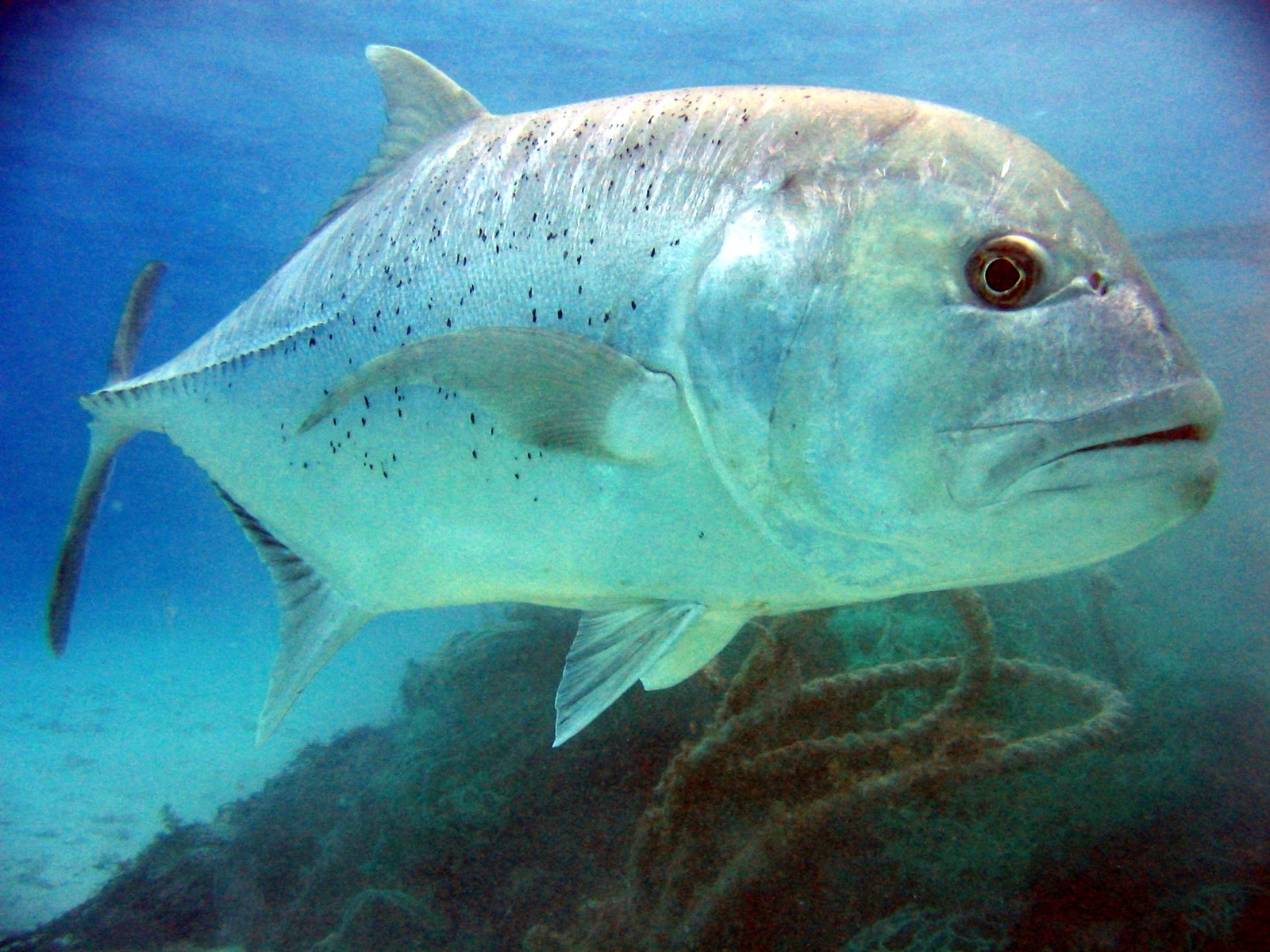
Giant Trevally

Clownfish & Anemonefish
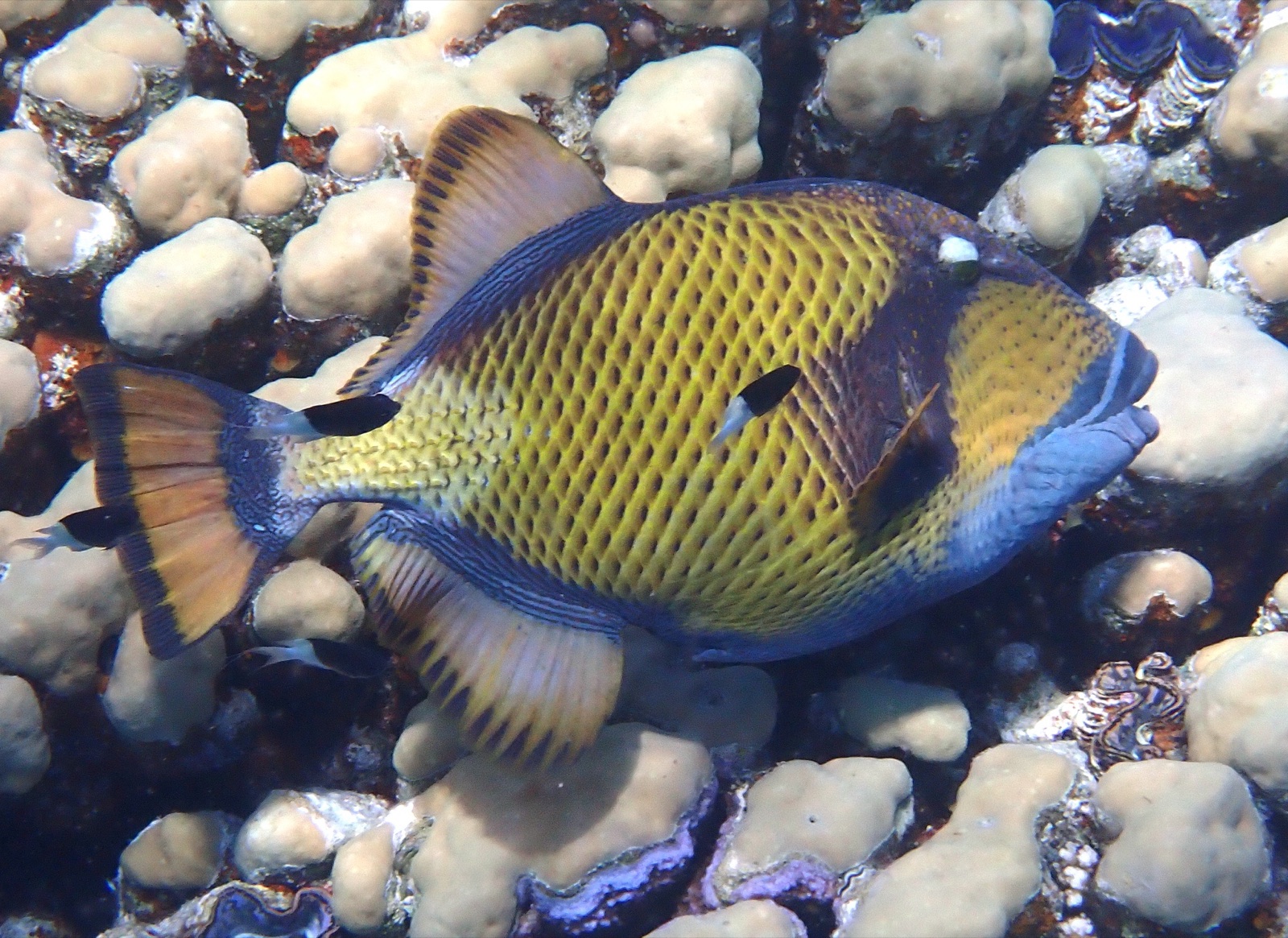
Titan Triggerfish
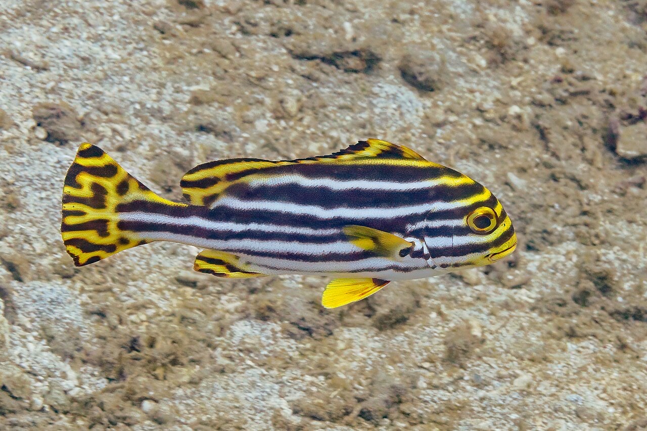
Oriental Sweetlips
Également observé à proximité
Les espèces « cartographiées ici » ont été répertoriées par nos éditeurs à partir des sources indiquées sur cette page. Les comptages correspondent aux occurrences GBIF : observations enregistrées dans un rayon d'environ 5 km autour de la position cartographiée depuis 1990, comparées uniquement aux espèces de notre catalogue. Ils indiquent ce qui a été observé à cet endroit, sans garantir ce que vous y verrez.
Pour les photographes
Grand angle: ★★★★☆ · Macro: ★★★☆☆ (note 1–5 des éditeurs sur ce que ce site offre à chaque style de prise de vue)