Puntos de buceo, temporadas y vida marina — investigados, cartografiados, planificados.
Menú
Destinos Puntos de buceo Vida marina Pecios Noticias
Planifica un viaje Planificador de viajes Cuándo bucear Calculadora de costes Comparativas Calendario de fauna marina Temperatura del agua Liveaboards Operadores y resorts Parques marinos Cámaras hiperbáricas Mapa mundial
Regiones Australia, Nueva Zelanda y Asia OrientalCaribe y Atlántico occidentalEuropa, Atlántico y MediterráneoOcéano Índico y África OrientalIslas del Pacífico y MicronesiaMar Rojo y Oriente MedioSudeste Asiático y el Triángulo del CoralLas Américas y el Pacífico Oriental Países
Aprender y herramientas Todas las guías Certificaciones Guías de equipo Vídeos Consulta los datos Agentes de IA API
Acerca de Quiénes somos Metodología Aviso legal Contacto
Tu vista
★ Guardado

Tus destinos, sitios y especies favoritos — guardados en este navegador.

API GATEWAY

Acceso JSON gratuito de solo lectura a los datos en caché del atlas.

Modo oscuro

🧭 Vista guiada
¿Nuevo en el buceo? ¿Profundidades, corrientes, niveles de certificación? Explicamos cada término mientras navegas, en un lenguaje claro. Los mismos datos, con la ayuda integrada.

⚡ Vista experta
Ya conoces la diferencia entre una pared y un drift dive. Solo los datos — claros, rápidos y concisos. Esta es la vista predeterminada.

Idioma de la interfaz
Mala Wharf — illustrative image

Mala Wharf

Artificial reef · Shore 3–12 m Beginner Maui & Molokini, United States
Ilustración generada por IA
Documentado
Profundidad
3–12 m / 10–39 ft
Profundidad típica
8 m / 26 ft
Visibilidad
8–20 m / 26–66 ft
Agua
23–27 °C / 73–81 °F
Corriente
Mild
Acceso
Shore
Certificación recomendada
Open Water
Inmersión típica
~60 min

La profundidad indica el rango desde la parte superior del punto hasta su máximo habitual; la "certificación recomendada" es el nivel que los operadores suelen exigir según las principales agencias, no una norma legal. Las corrientes y la visibilidad cambian a diario — considera todo esto como rangos de planificación.

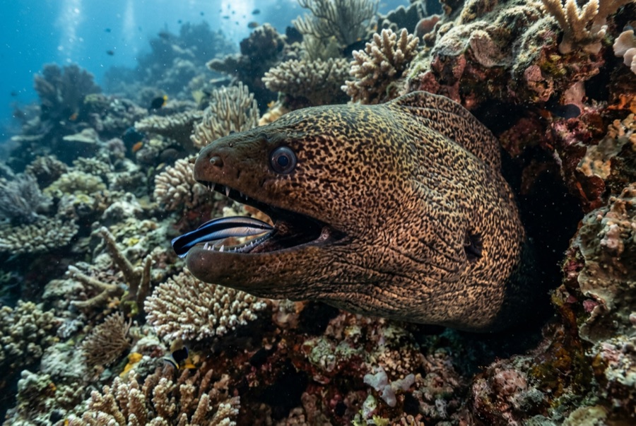
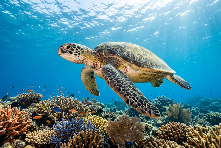
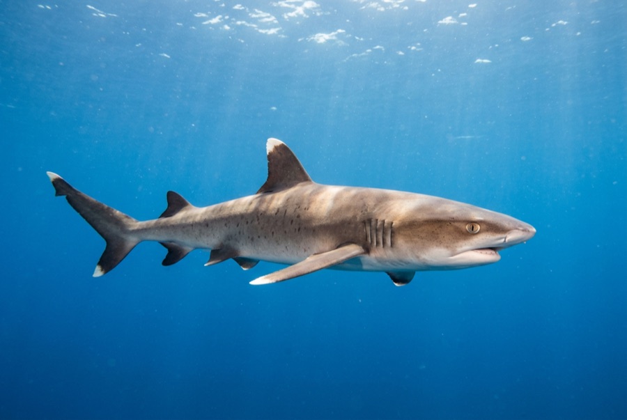
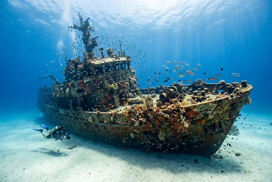
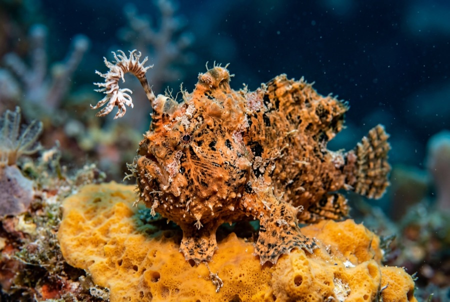
Hurricane Iniki's swells dropped much of Mala Wharf into the sea in 1992, and Maui's reef fish immediately approved. The fallen deck sections lean against each other like giant toppled dominoes, roofed in cauliflower coral, and beneath them shelter more green turtles per square meter than anywhere else on the island — along with whitetip reef sharks, frogfish on the pilings, and eels in every second crevice. Depth barely reaches 12 m, light pours through the gaps, and night dives here are celebrated. The dive sits at the edge of fire-scarred Lahaina, so access details and neighborhood sensitivities deserve a check and some grace.

El momento por el que vienes: Turtle density under the fallen spans; frogfish and morays on the pilings; a shallow site that shines by day or night.

Topografía: Collapsed concrete pier sections lying angled on sand, densely overgrown with coral

Entrada: Entry beside the boat ramp at Lahaina's north end; surface swim to the fallen pier. Confirm current access — the area is still recovering from the 2023 fire.

Lo que debes saber antes de tirarte al agua

Riesgos: Rebar and unstable concrete overhead; boat-ramp traffic crossing the entry; visibility drops with runoff.

Conservación: The structure is fragile habitat now — no climbing on spans, and give the recovering Lahaina shoreline community consideration ashore.

A quién encontrarás
Para fotógrafos

Gran angular: ★★★★☆ · Macro: ★★★★☆ — valoración de 1 a 5 de los editores sobre lo que ofrece este sitio para cada estilo de fotografía

Australia, Nueva Zelanda y Asia Oriental

Cairns & the Ribbon ReefsNingaloo ReefCoral Sea & Osprey ReefOkinawa & the Kerama IslandsPoor Knights IslandsTownsville & the YongalaGreen IslandIzu Peninsula

Caribe y Atlántico occidental

BonaireCozumelRiviera Maya & the CenotesBelize Barrier ReefGrand CaymanIsla Mujeres & CancúnRoatánTiger Beach & Grand Bahama

Europa, Atlántico y Mediterráneo

Malta & GozoSilfra & IcelandThe AzoresCanary IslandsLarnaca & the ZenobiaScapa FlowArctic NorwayMadeira

Océano Índico y África Oriental

North & South Malé AtollsAri AtollBaa Atoll & Hanifaru BayAliwal Shoal & UmkomaasMafia IslandMauritiusSeychellesSodwana Bay

Islas del Pacífico y Micronesia

PalauChuuk (Truk) LagoonFakaravaKona, HawaiʻiRangiroaTaveuni & Rainbow ReefBeqa Lagoon & Pacific HarbourEspiritu Santo

Mar Rojo y Oriente Medio

Sharm El Sheikh & Ras MohammedBrothers, Daedalus & St John'sDahabHurghada & El GounaMarsa Alam & the Deep SouthAqabaDaymaniyat IslandsMusandam Peninsula

Sudeste Asiático y el Triángulo del Coral

Bali & Nusa PenidaKomodoRaja AmpatSipadan & MabulAnilaoCoronKoh TaoLembeh Strait

Las Américas y el Pacífico Oriental

Galápagos IslandsCocos IslandFlorida KeysSea of Cortez & Cabo PulmoSocorro & the RevillagigedosBritish ColumbiaCalifornia Channel IslandsCosta Rica Pacific Coast