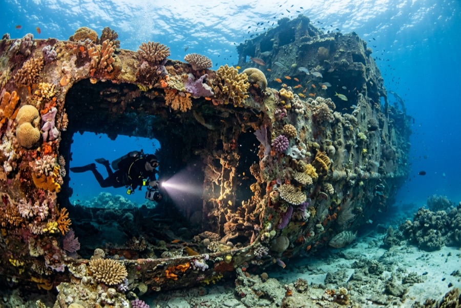
Djabeda
La profundidad indica el rango desde la parte superior del punto hasta su máximo habitual; la "certificación recomendada" es el nivel que los operadores suelen exigir según las principales agencias, no una norma legal. Las corrientes y la visibilidad cambian a diario — considera todo esto como rangos de planificación.
The Djabeda, a Japanese fishing vessel scuttled in the late 1990s near the wedge-shaped islet of Coin de Mire, is the north's deep wreck: upright, intact, and sitting in the clean oceanic water that funnels past the island. The 30-meter seabed keeps bottom time short and the profile honest, so dives run as a tour — bow, holds, wheelhouse — with eagle rays and barracuda often circling mid-water and morays installed below decks. Growth is modest but the setting compensates: on a clear day the whole ship is visible from the descent line, a proper deep-blue silhouette.
El momento por el que vienes: Whole-ship silhouette in clear water; eagle rays and barracuda overhead
Topografía: Steel fishing vessel upright on sand near the islet of Coin de Mire
Corriente: Sits in open water near Coin de Mire; current and chop on the crossing are routine.
Lo que debes saber antes de tirarte al agua
Riesgos: Depth — the sand is beyond 30 meters — plus current and boat chop at the surface.
Conservación: Scuttled as habitat; leave the structure and its residents undisturbed.
Nitrox: Vale la pena aquí — los perfiles se sitúan en el rango donde el aire enriquecido (nitrox) amplía de forma significativa el tiempo sin descompresión (con la formación necesaria para usarlo).
A quién encontrarás
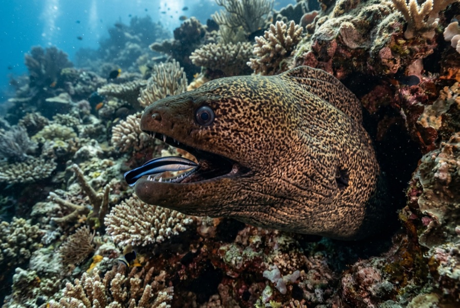
Giant Moray Eel
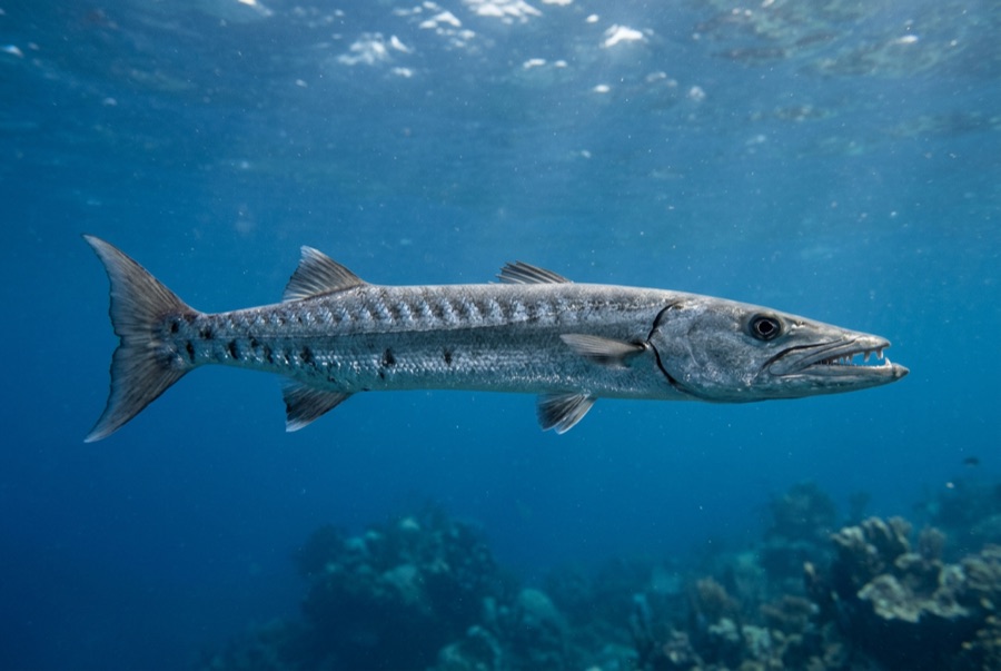
Great Barracuda
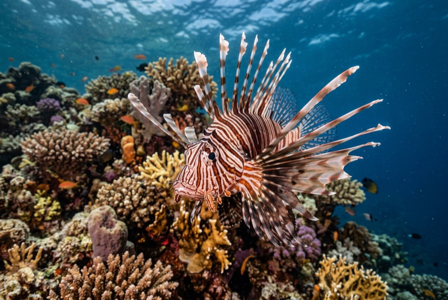
Lionfish

Spotted Eagle Ray
Para fotógrafos
Gran angular: ★★★★☆ · Macro: ★★☆☆☆ — valoración de 1 a 5 de los editores sobre lo que ofrece este sitio para cada estilo de fotografía