
Nosy Tanikely
Die Tiefe gibt den Bereich von der Oberkante des Tauchplatzes bis zur üblichen Maximaltiefe an; „empfohlene Zertifizierung" ist das von Anbietern üblicherweise geforderte Mainstream-Agenturniveau – keine gesetzliche Vorschrift. Strömungen und Sichtweite ändern sich täglich – behandle alle Angaben hier als Planungsbereiche.
Tanikely, a lighthouse islet south of Nosy Be, has been a managed marine reserve for years, and the protection shows the moment you roll in: fish density double anything on the unprotected coast, green and hawksbill turtles grazing at close range, and coral slopes that drop from snorkeler depth to a modest 18 meters. Octopus and lionfish work the boulder edges, nudibranchs speckle the rubble, and batfish escort divers between coral heads. Every dive operator and day-trip dhow on the island comes here, so mornings are sociable — and the reserve fee visibly funds the wardens who keep it worth visiting.
Der Moment, für den du kommst: Madagascar's most reliable reef — turtles, dense fish, easy conditions
Topografie: Fringing reef around a lighthouse islet — coral slopes, sand patches, and boulder edges
Strömung: Protected on most winds; a gentle current sometimes wraps the islet's points.
Was du wissen solltest, bevor du ins Wasser gehst
Gefahren: Day-boat congestion at midday; little else.
Genehmigungen & Regeln: Daily reserve entry fee collected at the island.
Naturschutz: A fee-funded reserve with no-take rules; guides enforce no-touch and anchor-free mooring.
Wen du triffst
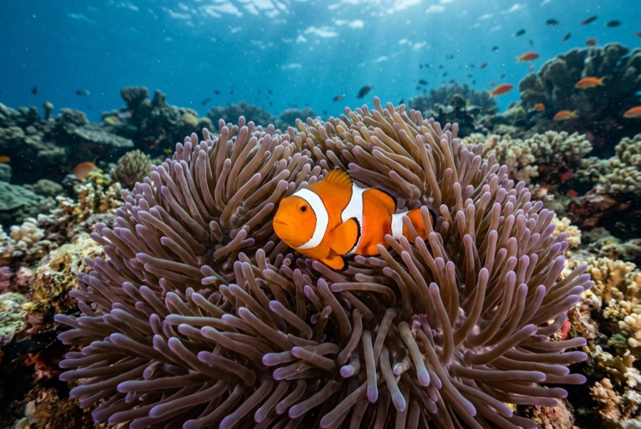
Clownfish & Anemonefish
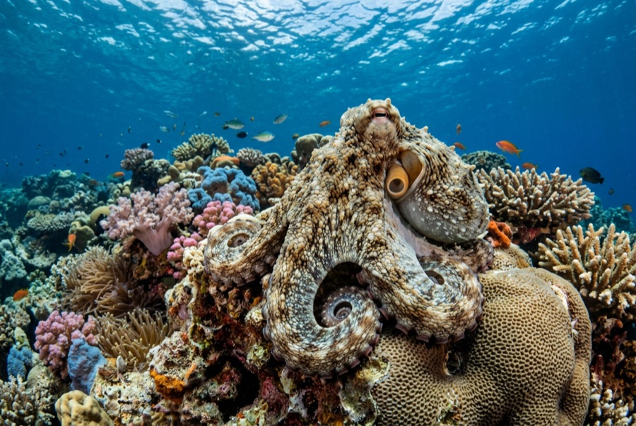
Common Reef (Day) Octopus
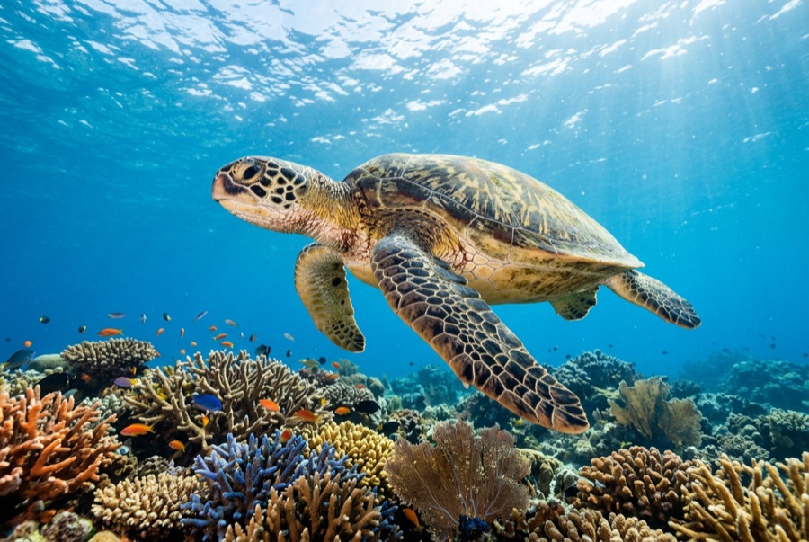
Green Sea Turtle
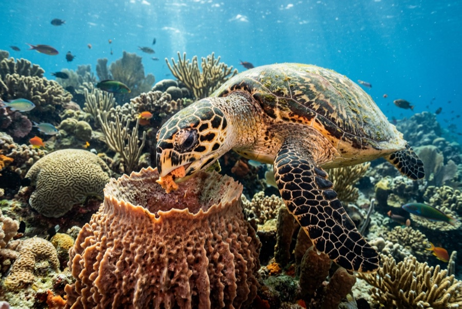
Hawksbill Turtle

Nudibranchs
Für Fotografen
Weitwinkel: ★★★★☆ · Makro: ★★★★☆ — Redaktionelle 1–5-Bewertung, was dieser Platz für jeden Fotografie-Stil bietet