
Nosy Tanikely
La profundidad indica el rango desde la parte superior del punto hasta su máximo habitual; la "certificación recomendada" es el nivel que los operadores suelen exigir según las principales agencias, no una norma legal. Las corrientes y la visibilidad cambian a diario — considera todo esto como rangos de planificación.
Tanikely, a lighthouse islet south of Nosy Be, has been a managed marine reserve for years, and the protection shows the moment you roll in: fish density double anything on the unprotected coast, green and hawksbill turtles grazing at close range, and coral slopes that drop from snorkeler depth to a modest 18 meters. Octopus and lionfish work the boulder edges, nudibranchs speckle the rubble, and batfish escort divers between coral heads. Every dive operator and day-trip dhow on the island comes here, so mornings are sociable — and the reserve fee visibly funds the wardens who keep it worth visiting.
El momento por el que vienes: Madagascar's most reliable reef — turtles, dense fish, easy conditions
Topografía: Fringing reef around a lighthouse islet — coral slopes, sand patches, and boulder edges
Corriente: Protected on most winds; a gentle current sometimes wraps the islet's points.
Lo que debes saber antes de tirarte al agua
Riesgos: Day-boat congestion at midday; little else.
Permisos y normas: Daily reserve entry fee collected at the island.
Conservación: A fee-funded reserve with no-take rules; guides enforce no-touch and anchor-free mooring.
A quién encontrarás
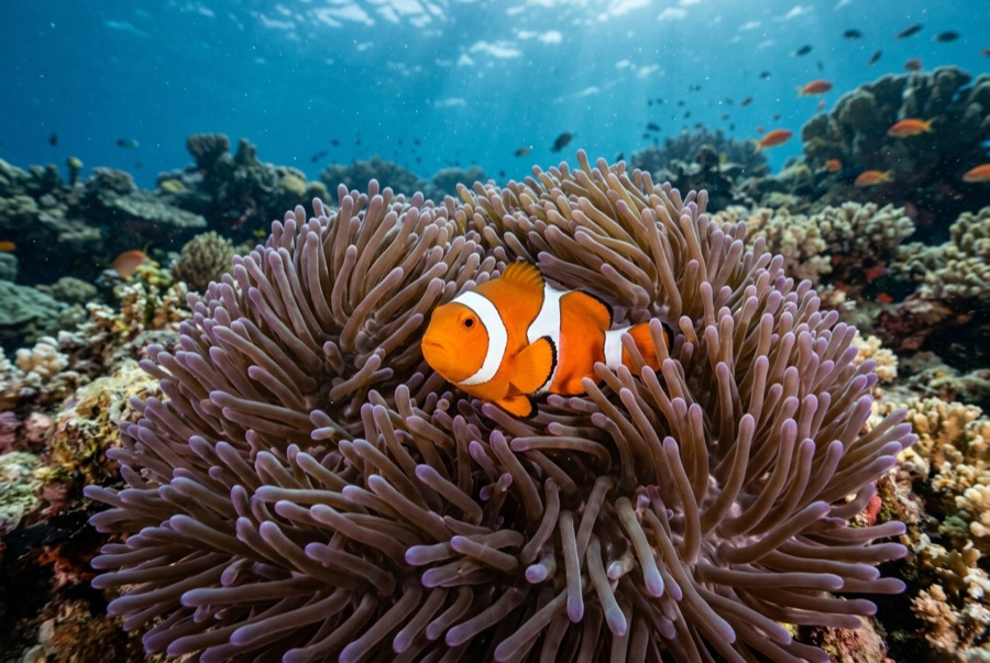
Clownfish & Anemonefish
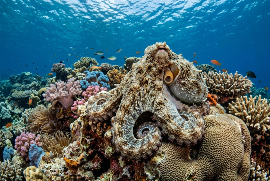
Common Reef (Day) Octopus
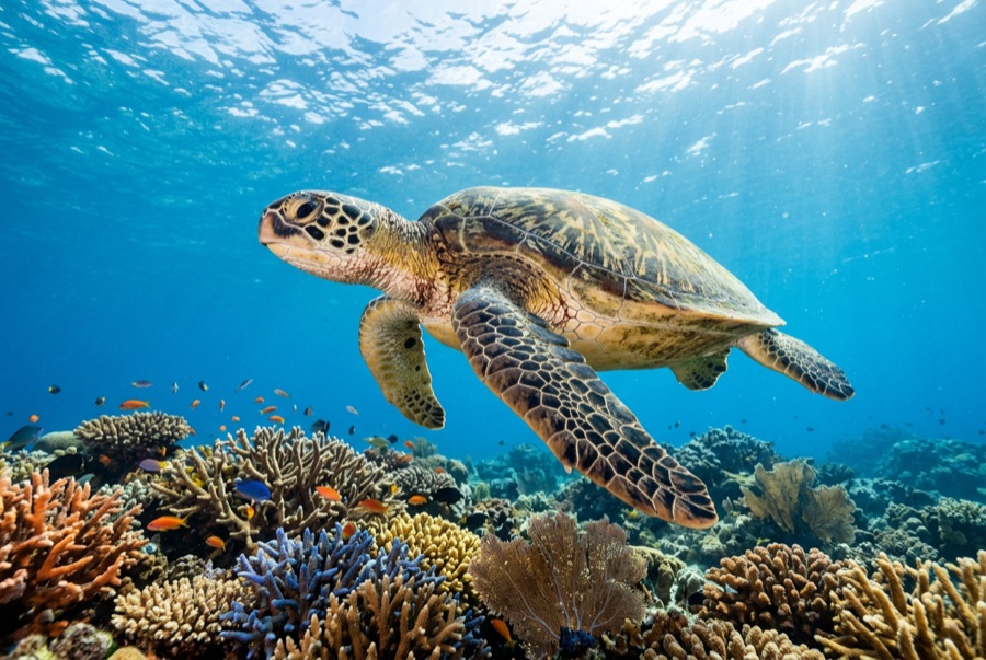
Green Sea Turtle
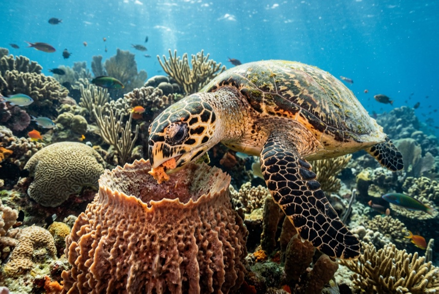
Hawksbill Turtle

Nudibranchs
Para fotógrafos
Gran angular: ★★★★☆ · Macro: ★★★★☆ — valoración de 1 a 5 de los editores sobre lo que ofrece este sitio para cada estilo de fotografía