
Nosy Tanikely
水深はサイト上部から通常の最大深度までの範囲を示し、「推奨認定レベル」はオペレーターが一般的に求めるメインストリーム機関の資格レベルであり、法的な義務ではありません。流れと透明度は日々変化します——ここに掲載されている情報はすべて計画の目安としてご利用ください。
Tanikely, a lighthouse islet south of Nosy Be, has been a managed marine reserve for years, and the protection shows the moment you roll in: fish density double anything on the unprotected coast, green and hawksbill turtles grazing at close range, and coral slopes that drop from snorkeler depth to a modest 18 meters. Octopus and lionfish work the boulder edges, nudibranchs speckle the rubble, and batfish escort divers between coral heads. Every dive operator and day-trip dhow on the island comes here, so mornings are sociable — and the reserve fee visibly funds the wardens who keep it worth visiting.
その瞬間のために: Madagascar's most reliable reef — turtles, dense fish, easy conditions
地形: Fringing reef around a lighthouse islet — coral slopes, sand patches, and boulder edges
流れ(カレント): Protected on most winds; a gentle current sometimes wraps the islet's points.
エントリー前に知っておこう
危険生物・リスク: Day-boat congestion at midday; little else.
許可証&ルール: Daily reserve entry fee collected at the island.
保全: A fee-funded reserve with no-take rules; guides enforce no-touch and anchor-free mooring.
出会える生物
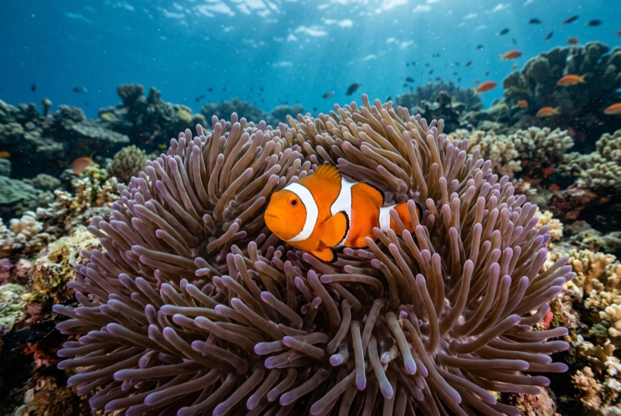
Clownfish & Anemonefish
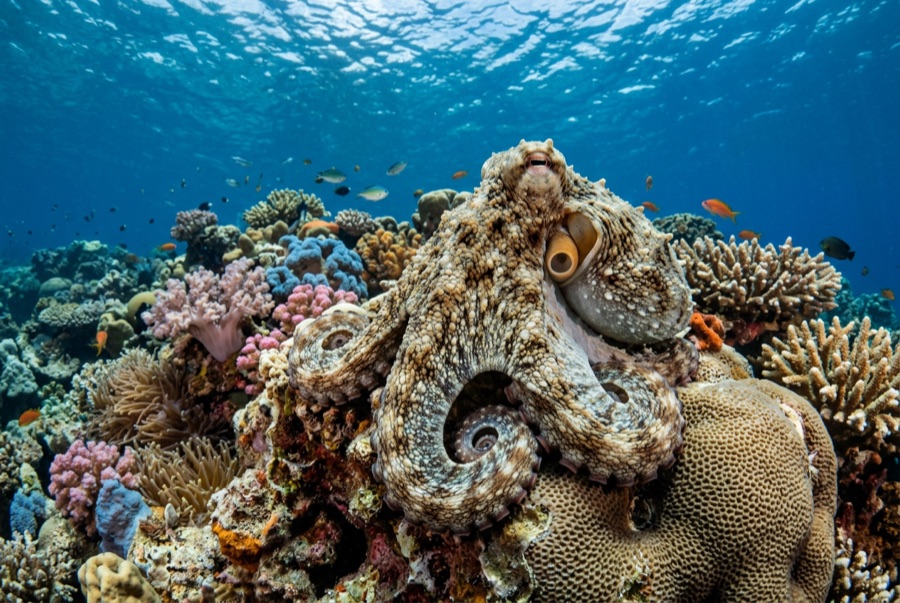
Common Reef (Day) Octopus
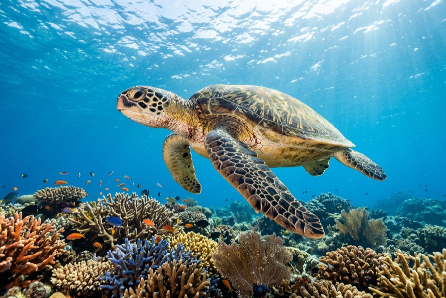
Green Sea Turtle
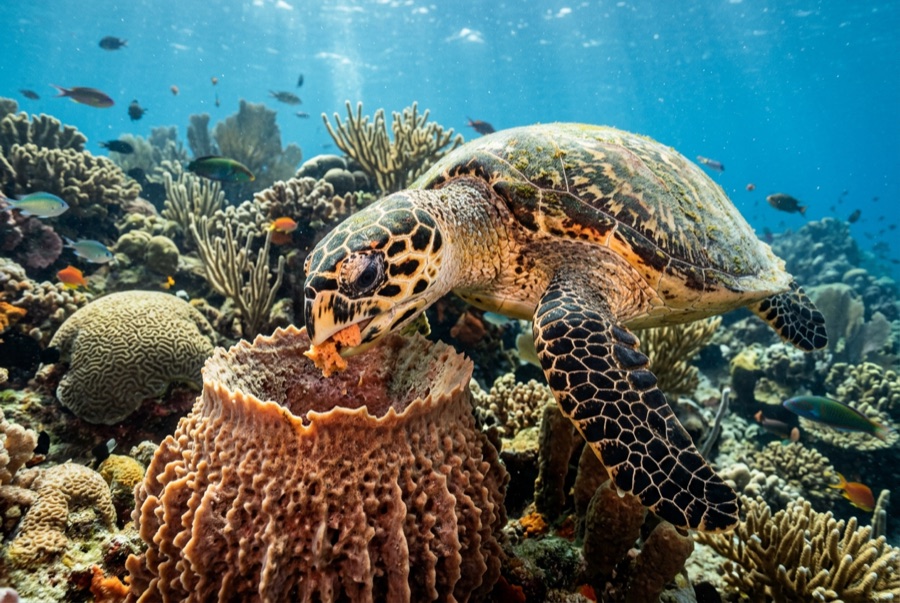
Hawksbill Turtle

Nudibranchs
水中フォトグラファー向け
ワイドアングル: ★★★★☆ · マクロ: ★★★★☆ — 各撮影スタイルに対するこのサイトの評価(編集部による1〜5点)