
Nosy Tanikely
深度范围从潜点顶部至通常最大深度;"建议认证等级"为运营商通常要求的主流机构等级,并非法律规定。水流与能见度每日变化——请将本站所有信息作为规划参考范围。
Tanikely, a lighthouse islet south of Nosy Be, has been a managed marine reserve for years, and the protection shows the moment you roll in: fish density double anything on the unprotected coast, green and hawksbill turtles grazing at close range, and coral slopes that drop from snorkeler depth to a modest 18 meters. Octopus and lionfish work the boulder edges, nudibranchs speckle the rubble, and batfish escort divers between coral heads. Every dive operator and day-trip dhow on the island comes here, so mornings are sociable — and the reserve fee visibly funds the wardens who keep it worth visiting.
您此行的高光时刻: Madagascar's most reliable reef — turtles, dense fish, easy conditions
地形地貌: Fringing reef around a lighthouse islet — coral slopes, sand patches, and boulder edges
水流: Protected on most winds; a gentle current sometimes wraps the islet's points.
入水前须知
危险因素: Day-boat congestion at midday; little else.
许可证与规定: Daily reserve entry fee collected at the island.
保育: A fee-funded reserve with no-take rules; guides enforce no-touch and anchor-free mooring.
你会遇见谁
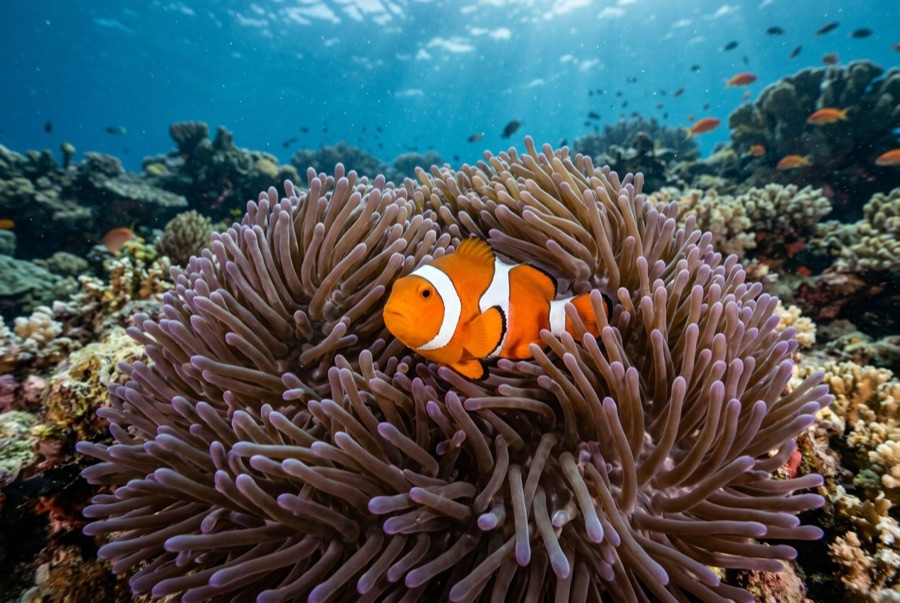
Clownfish & Anemonefish
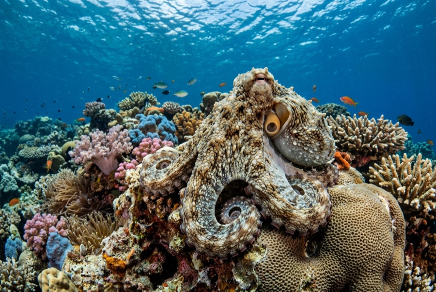
Common Reef (Day) Octopus
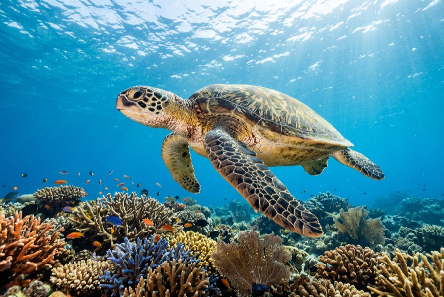
Green Sea Turtle
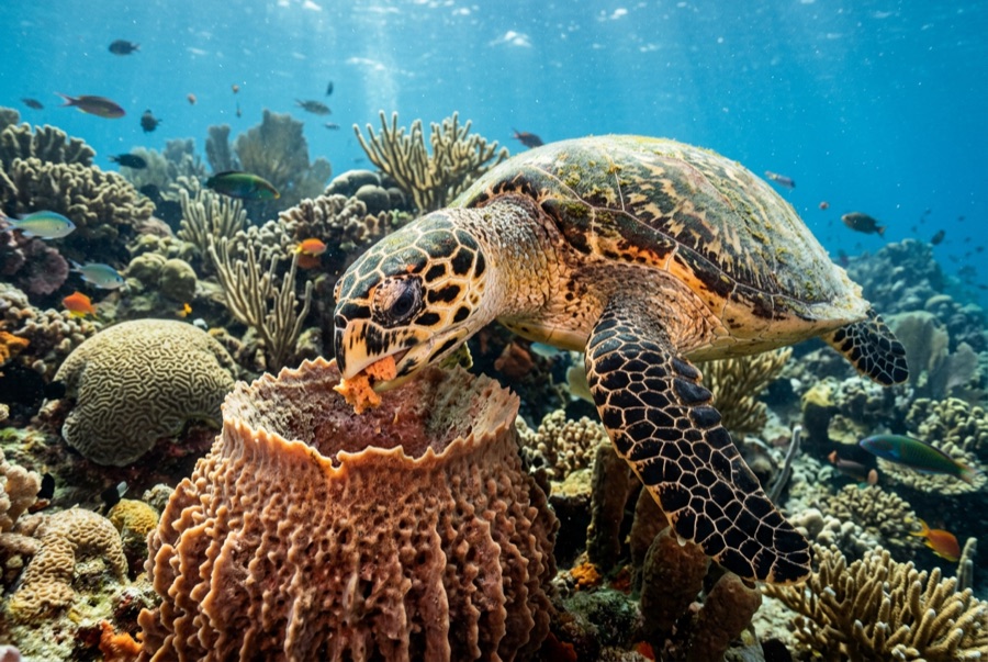
Hawksbill Turtle

Nudibranchs
摄影师专区
广角: ★★★★☆ · 微距: ★★★★☆ — 编辑对该潜点适合各类水下摄影风格的1–5分评级