Sites de plongée, saisons et vie marine — recherchés, cartographiés, planifiés.
Menu
Destinations Sites de plongée Vie marine Épaves Actualités
Planifier un voyage Planificateur de séjour Quand plonger Calculateur de coût Comparaisons Calendrier de la faune marine Température de l'eau Liveaboards Opérateurs & resorts Parcs marins Caissons hyperbares Carte du monde
Régions Australie, Nouvelle-Zélande & Asie de l'EstCaraïbes & Atlantique occidentalEurope, Atlantique & MéditerranéeOcéan Indien & Afrique de l'EstÎles du Pacifique & MicronésieMer Rouge & Moyen-OrientAsie du Sud-Est et Triangle de CorailLes Amériques et Pacifique Est Pays
Apprendre & Outils Tous les guides Certifications Guides d'équipement Vidéos Interroger les données Agents IA API
À propos À propos de nous Méthodologie Avertissement Contact
Votre vue
★ Enregistré

Vos destinations, sites et espèces favoris — enregistrés dans ce navigateur.

API GATEWAY

Accès JSON gratuit en lecture seule aux données en cache de l'atlas.

Mode sombre

🧭 Vue Guidée
Nouveau dans la plongée — profondeurs, courants, niveaux de certification ? Nous expliquons chaque terme au fil de votre navigation, en langage clair. Les mêmes données, avec l'aide intégrée.

⚡ Vue Expert
Vous connaissez déjà la différence entre un tombant et un drift. Juste les données — claires, rapides et compactes. C'est la vue par défaut.

Langue de l'interface
Aida — illustrative image

Aida

Wreck · Wall 30–60 m Advanced Brothers, Daedalus & St John's, Egypt
Illustration générée par IA
Documenté
Profondeur
30–60 m / 98–197 ft
Profondeur typique
38 m / 125 ft
Visibilité
20–40 m / 66–131 ft
Eau
22–30 °C / 72–86 °F
Courant
Moderate
Accès
Liveaboard
Meilleurs mois
May, Jun, Jul, Sep, Oct, Nov
Certification recommandée
Advanced Open Water with deep training; best appreciated on technical dives
Plongée typique
~35 min

La profondeur indique la plage entre le sommet du site et son maximum habituel ; le « niveau de certification recommandé » correspond au niveau généralement demandé par les opérateurs selon les agences grand public, et non à une règle légale. Les courants et la visibilité varient chaque jour — considérez toutes ces informations comme des estimations de planification.

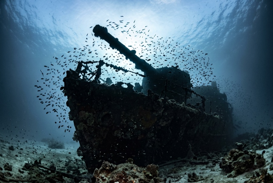
The Aida served Egypt's lighthouse stations, and in September 1957 heavy seas drove her against the island she was provisioning. Her stern section now hangs on Big Brother's slope from about 30 meters down toward 60, angled with the terrain so that swimming her feels like descending a staircase built by accident. Soft corals sheath the railings, glassfish smoke through the superstructure, and the surrounding wall keeps offering sharks to divers who look away from the steel. The depth does the editing here: recreational visitors get minutes at the upper works before the ascent, while trimix teams treat Aida and the deep Numidia as a paired itinerary. Skippers brief her with respect - the same weather that sank her still sets the schedule.

Le moment pour lequel vous venez: A deep, coral-sheathed hull on a dramatic slope; pairing with the island's shark traffic; a true depth-discipline dive.

Topographie: A supply vessel's hull lying bow-down on the steep slope between roughly 30 and 60 meters

Entrée: On Big Brother's northwest side; usually combined with the island wall, with strict depth and time gates.

Ce site est une épave répertoriée Aida — Egyptian lighthouse-service and supply vessel, coulé 1957. Historique complet de l'épave et guide de plongée →

À savoir avant de plonger

Dangers: Serious depth with short no-deco windows; current on the exposed corner; overhead sections for trained teams only.

Nitrox: Intéressant ici — les profils se situent dans la plage où le nitrox prolonge significativement le temps sans palier (avec la formation pour l'utiliser).

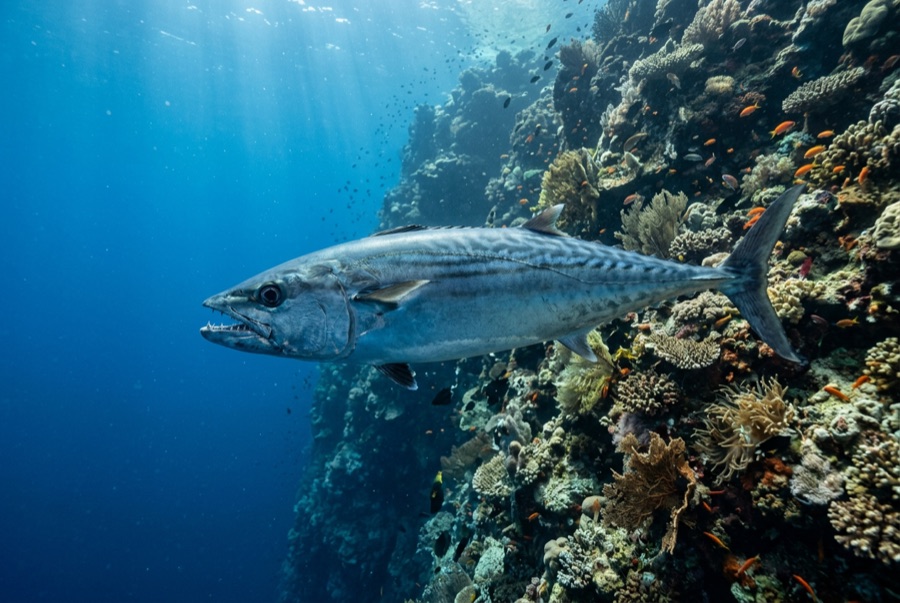
Qui vous croiserez
Pour les photographes

Grand angle: ★★★★☆ · Macro: ★☆☆☆☆ — note 1–5 des éditeurs sur ce que ce site offre à chaque style de prise de vue

Australie, Nouvelle-Zélande & Asie de l'Est

Cairns & the Ribbon ReefsNingaloo ReefCoral Sea & Osprey ReefOkinawa & the Kerama IslandsPoor Knights IslandsTownsville & the YongalaGreen IslandIzu Peninsula

Caraïbes & Atlantique occidental

BonaireCozumelRiviera Maya & the CenotesBelize Barrier ReefGrand CaymanIsla Mujeres & CancúnRoatánTiger Beach & Grand Bahama

Europe, Atlantique & Méditerranée

Malta & GozoSilfra & IcelandThe AzoresCanary IslandsLarnaca & the ZenobiaScapa FlowArctic NorwayMadeira

Océan Indien & Afrique de l'Est

North & South Malé AtollsAri AtollBaa Atoll & Hanifaru BayAliwal Shoal & UmkomaasMafia IslandMauritiusSeychellesSodwana Bay

Îles du Pacifique & Micronésie

PalauChuuk (Truk) LagoonFakaravaKona, HawaiʻiRangiroaTaveuni & Rainbow ReefBeqa Lagoon & Pacific HarbourEspiritu Santo

Mer Rouge & Moyen-Orient

Sharm El Sheikh & Ras MohammedBrothers, Daedalus & St John'sDahabHurghada & El GounaMarsa Alam & the Deep SouthAqabaDaymaniyat IslandsMusandam Peninsula

Asie du Sud-Est et Triangle de Corail

Bali & Nusa PenidaKomodoRaja AmpatSipadan & MabulAnilaoCoronKoh TaoLembeh Strait

Les Amériques et Pacifique Est

Galápagos IslandsCocos IslandFlorida KeysSea of Cortez & Cabo PulmoSocorro & the RevillagigedosBritish ColumbiaCalifornia Channel IslandsCosta Rica Pacific Coast