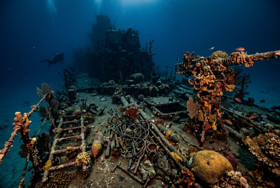
Bonegi I (Hirokawa Maru)
La profondeur correspond à la plage allant du sommet du site jusqu'à son maximum habituel ; le « niveau recommandé » est le niveau demandé en général par les opérateurs auprès des grandes agences, pas une règle légale. Les courants et la visibilité varient chaque jour, traitez donc tout cela comme des plages indicatives de planification.
On the night of 14–15 November 1942, four Japanese transports were deliberately run ashore on Guadalcanal to land what troops and supplies they could under American fire; the Hirokawa Maru's bow nearly touches the beach at Bonegi, and her stern reaches down the slope past 50 m. That geometry makes her the rare major WWII wreck you enter from the surf. The upper hull is a garden (corals, glassfish, anemones), while the deepening stern rewards experience and restraint. Men died in these operations, and local guides frame the dive accordingly. Few places connect a beach walk to the war this directly.
Le moment pour lequel vous venez: A shore-entry WWII transport; coral-covered upper hull rich in fish; depth options from snorkel to serious.
Topographie: A beached Japanese transport lying down a sand slope from the surf line to about 55 m
Entrée: A short drive west of Honiara; wade in off the dark-sand beach and follow the hull down the slope. A small custom fee is paid to the landowners.
À savoir avant de plonger
Dangers: Surf and surge at the entry in swell; collapsing structure and sharp plate; depth creep down the stern; penetration only for the trained.
Conservation: A war relic and gravesite of the Guadalcanal campaign on customary land: pay the landowner fee, take nothing, and treat the steel as memorial.
Nitrox: Pertinent ici : les profils se situent dans la plage où le nitrox prolonge significativement le temps sans palier (avec la formation pour l'utiliser).
Qui vous croiserez

Nudibranchs

Clownfish & Anemonefish

Lionfish
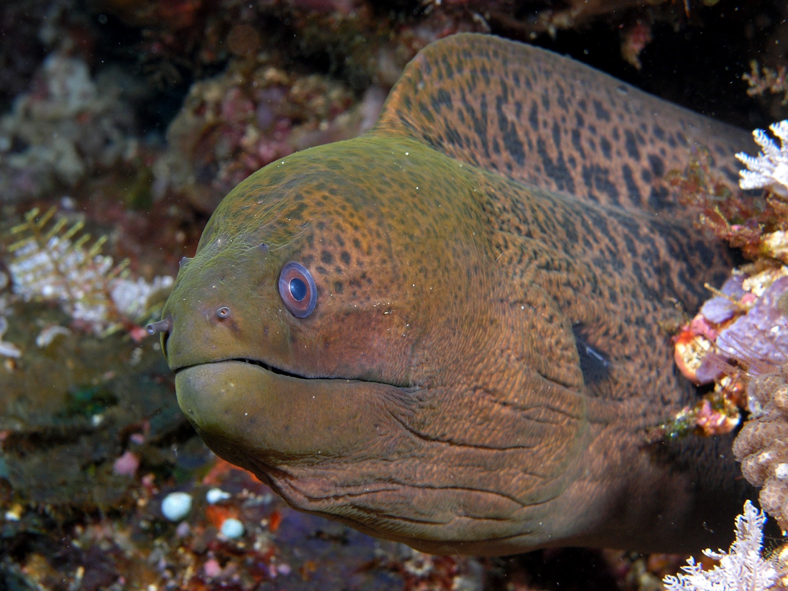
Giant Moray Eel
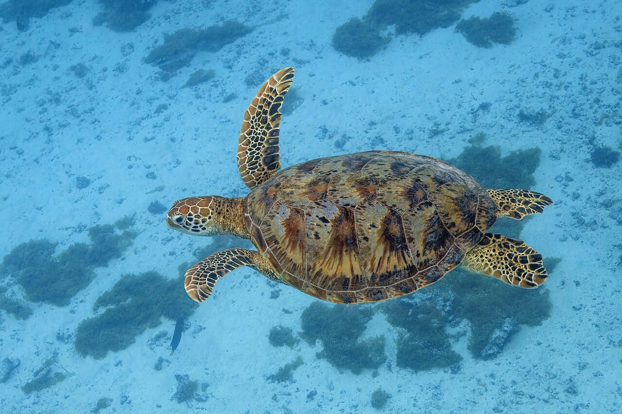
Green Sea Turtle
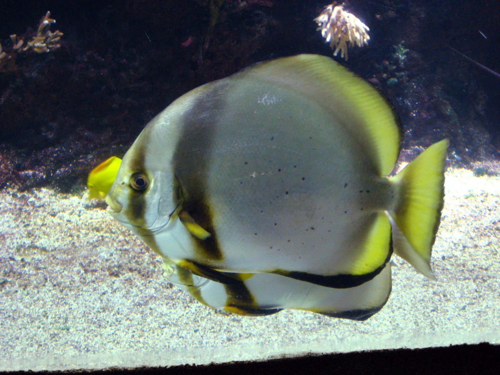
Pinnate Batfish
Les espèces « cartographiées ici » ont été répertoriées par nos éditeurs à partir des sources indiquées sur cette page. Les comptages correspondent aux occurrences GBIF : observations enregistrées dans un rayon d'environ 5 km autour de la position cartographiée depuis 1990, comparées uniquement aux espèces de notre catalogue. Ils indiquent ce qui a été observé à cet endroit, sans garantir ce que vous y verrez.
Pour les photographes
Grand angle: ★★★★☆ · Macro: ★★★☆☆ (note 1–5 des éditeurs sur ce que ce site offre à chaque style de prise de vue)