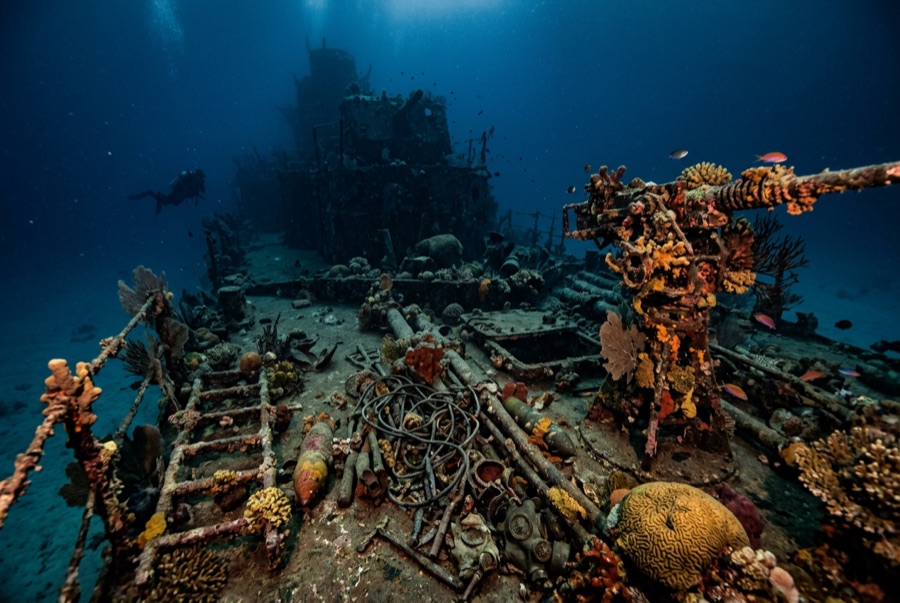
Bonegi I (Hirokawa Maru)
La profondità indica l'intervallo dalla sommità del sito al suo massimo abituale; il "brevetto consigliato" è il livello richiesto dalla maggior parte degli operatori delle principali agenzie, non una norma di legge. Correnti e visibilità cambiano ogni giorno, quindi considera tutto come intervalli di pianificazione.
On the night of 14–15 November 1942, four Japanese transports were deliberately run ashore on Guadalcanal to land what troops and supplies they could under American fire; the Hirokawa Maru's bow nearly touches the beach at Bonegi, and her stern reaches down the slope past 50 m. That geometry makes her the rare major WWII wreck you enter from the surf. The upper hull is a garden (corals, glassfish, anemones), while the deepening stern rewards experience and restraint. Men died in these operations, and local guides frame the dive accordingly. Few places connect a beach walk to the war this directly.
Il momento che aspettavi: A shore-entry WWII transport; coral-covered upper hull rich in fish; depth options from snorkel to serious.
Topografia: A beached Japanese transport lying down a sand slope from the surf line to about 55 m
Entrata: A short drive west of Honiara; wade in off the dark-sand beach and follow the hull down the slope. A small custom fee is paid to the landowners.
Sapere prima di tuffarsi
Pericoli: Surf and surge at the entry in swell; collapsing structure and sharp plate; depth creep down the stern; penetration only for the trained.
Conservazione: A war relic and gravesite of the Guadalcanal campaign on customary land: pay the landowner fee, take nothing, and treat the steel as memorial.
Nitrox: Vale la pena qui: i profili rientrano nell'intervallo in cui l'aria arricchita (nitrox) prolunga in modo significativo il tempo di non-decompressione (con la formazione necessaria per utilizzarla).
Chi incontrerai

Nudibranchs

Clownfish & Anemonefish

Lionfish
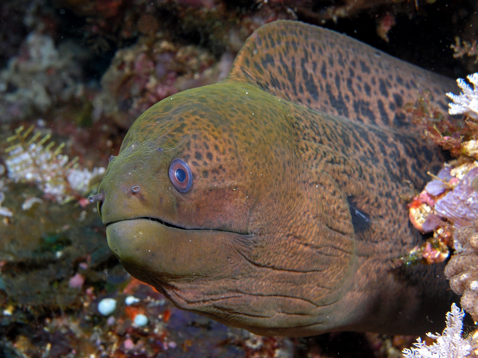
Giant Moray Eel
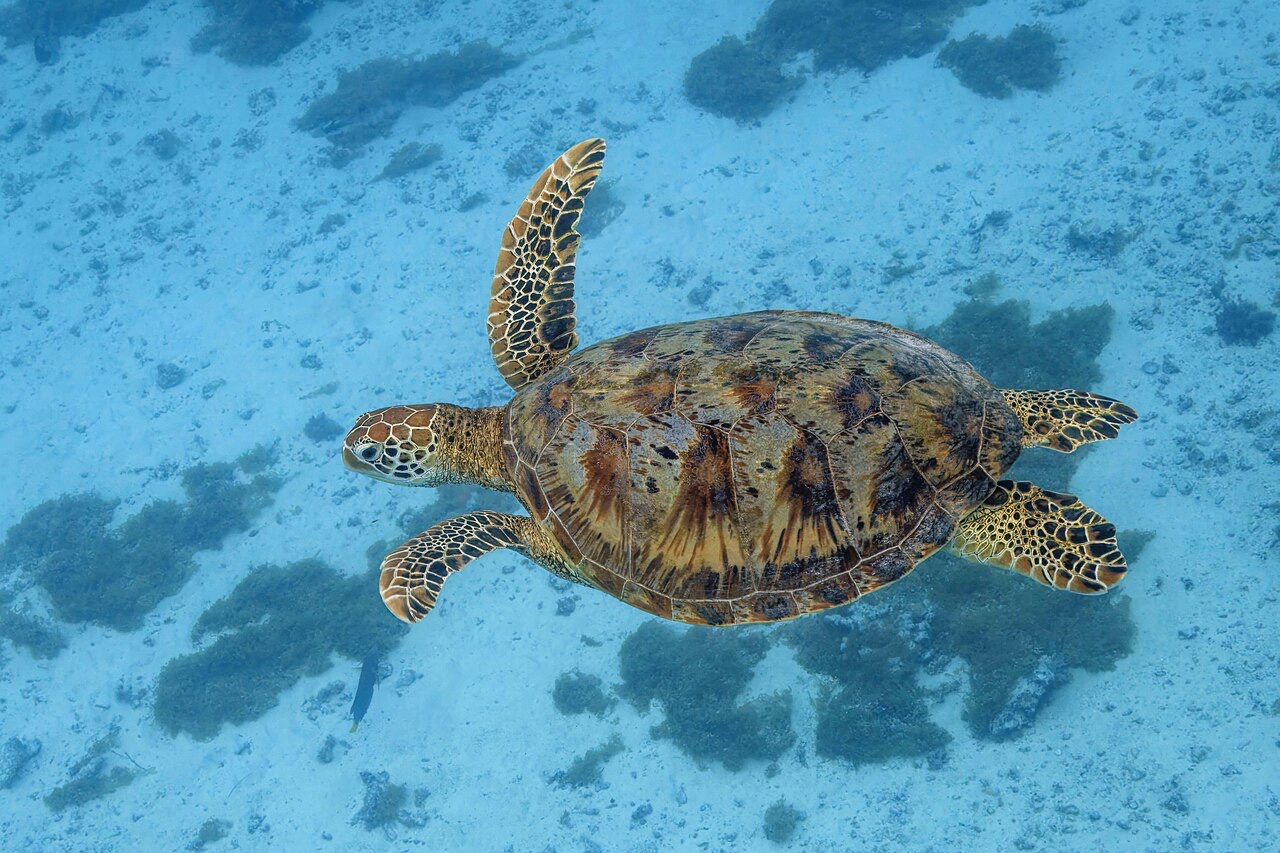
Green Sea Turtle
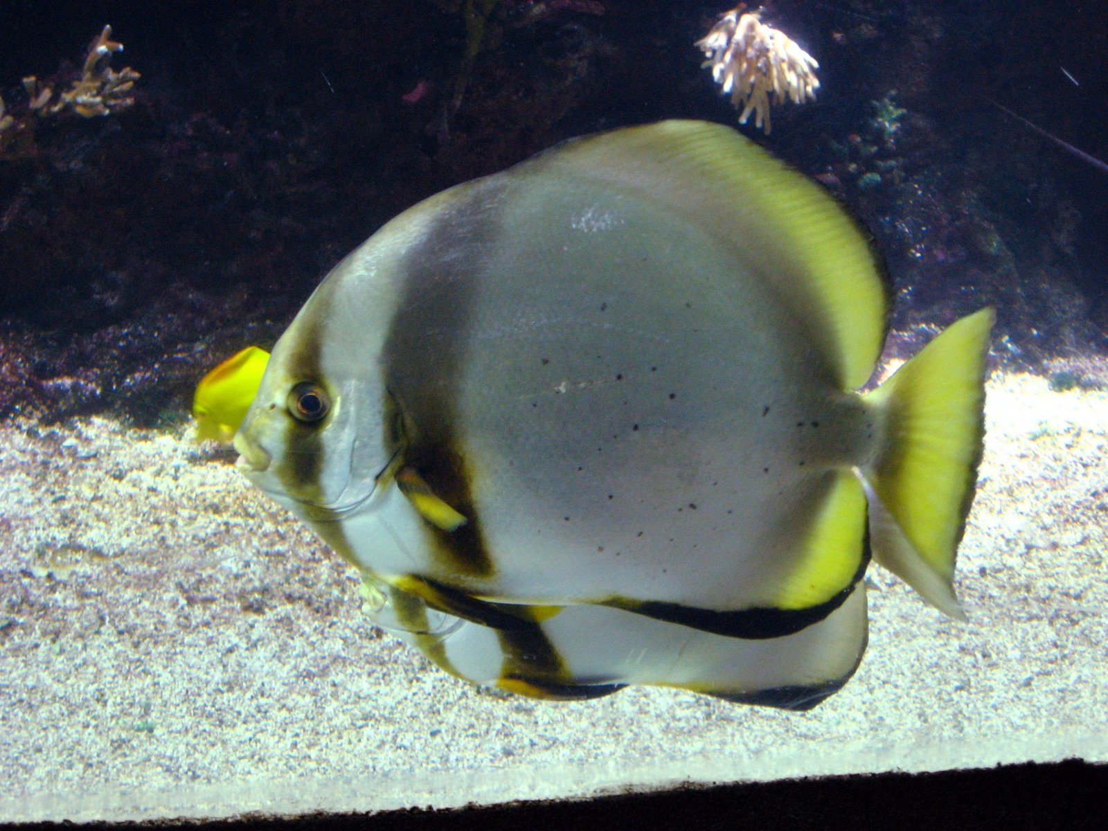
Pinnate Batfish
Le specie "schedate qui" sono state inserite dai nostri redattori a partire dalle fonti indicate in questa pagina. I conteggi sono record di occorrenza GBIF: osservazioni registrate entro circa 5 km dalla posizione indicata in carta a partire dal 1990, confrontate esclusivamente con le specie presenti nel nostro catalogo. Mostrano ciò che è stato avvistato in quel luogo, non una garanzia di ciò che vedrete.
Per i fotografi
Grandangolo: ★★★★☆ · Macro: ★★★☆☆ (valutazione da 1 a 5 dei redattori su ciò che questo sito offre per ogni stile di ripresa)