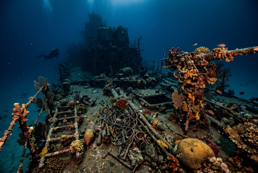
Bonegi I (Hirokawa Maru)
Derinlik, dalış noktasının tepesinden olağan maksimumuna kadar olan aralıktır; "önerilen sertifika" ise operatörlerin genellikle talep ettiği ana akım ajans düzeyidir, yasal bir kural değildir. Akıntı ve görüş her gün değişir, bu nedenle buradaki her şeyi planlama aralığı olarak değerlendirin.
On the night of 14–15 November 1942, four Japanese transports were deliberately run ashore on Guadalcanal to land what troops and supplies they could under American fire; the Hirokawa Maru's bow nearly touches the beach at Bonegi, and her stern reaches down the slope past 50 m. That geometry makes her the rare major WWII wreck you enter from the surf. The upper hull is a garden (corals, glassfish, anemones), while the deepening stern rewards experience and restraint. Men died in these operations, and local guides frame the dive accordingly. Few places connect a beach walk to the war this directly.
Tam da bunun için geldiğiniz an: A shore-entry WWII transport; coral-covered upper hull rich in fish; depth options from snorkel to serious.
Topografya: A beached Japanese transport lying down a sand slope from the surf line to about 55 m
Giriş: A short drive west of Honiara; wade in off the dark-sand beach and follow the hull down the slope. A small custom fee is paid to the landowners.
Suya girmeden önce bilinmesi gerekenler
Tehlikeler: Surf and surge at the entry in swell; collapsing structure and sharp plate; depth creep down the stern; penetration only for the trained.
Koruma: A war relic and gravesite of the Guadalcanal campaign on customary land: pay the landowner fee, take nothing, and treat the steel as memorial.
Nitrox: Burada değer: profiller, nitrox'un no-stop süresini anlamlı ölçüde uzattığı (ve bunu kullanacak eğitimle birlikte) aralıkta yer alıyor.
Kimlerle karşılaşacaksınız

Nudibranchs

Clownfish & Anemonefish

Lionfish
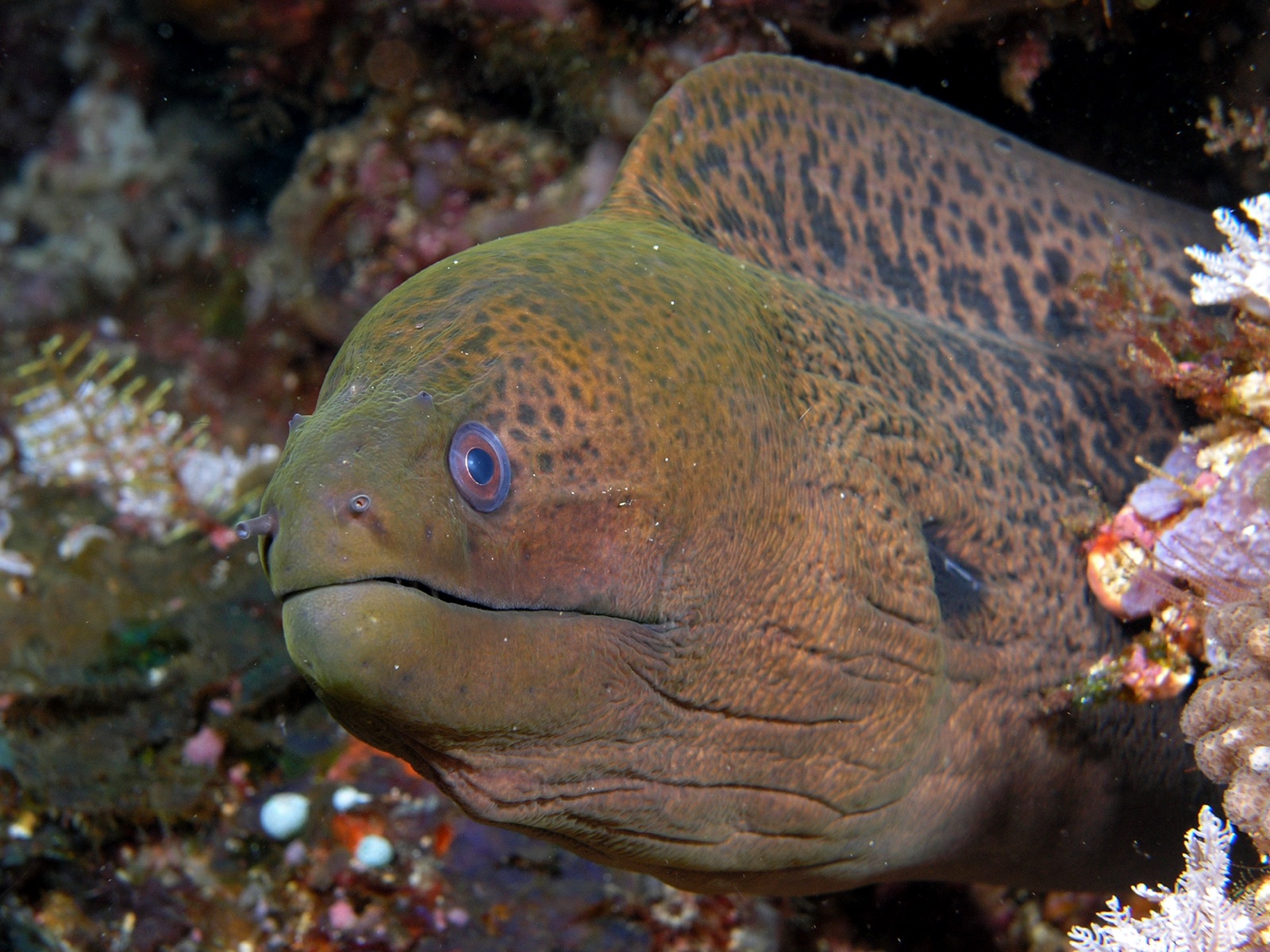
Giant Moray Eel
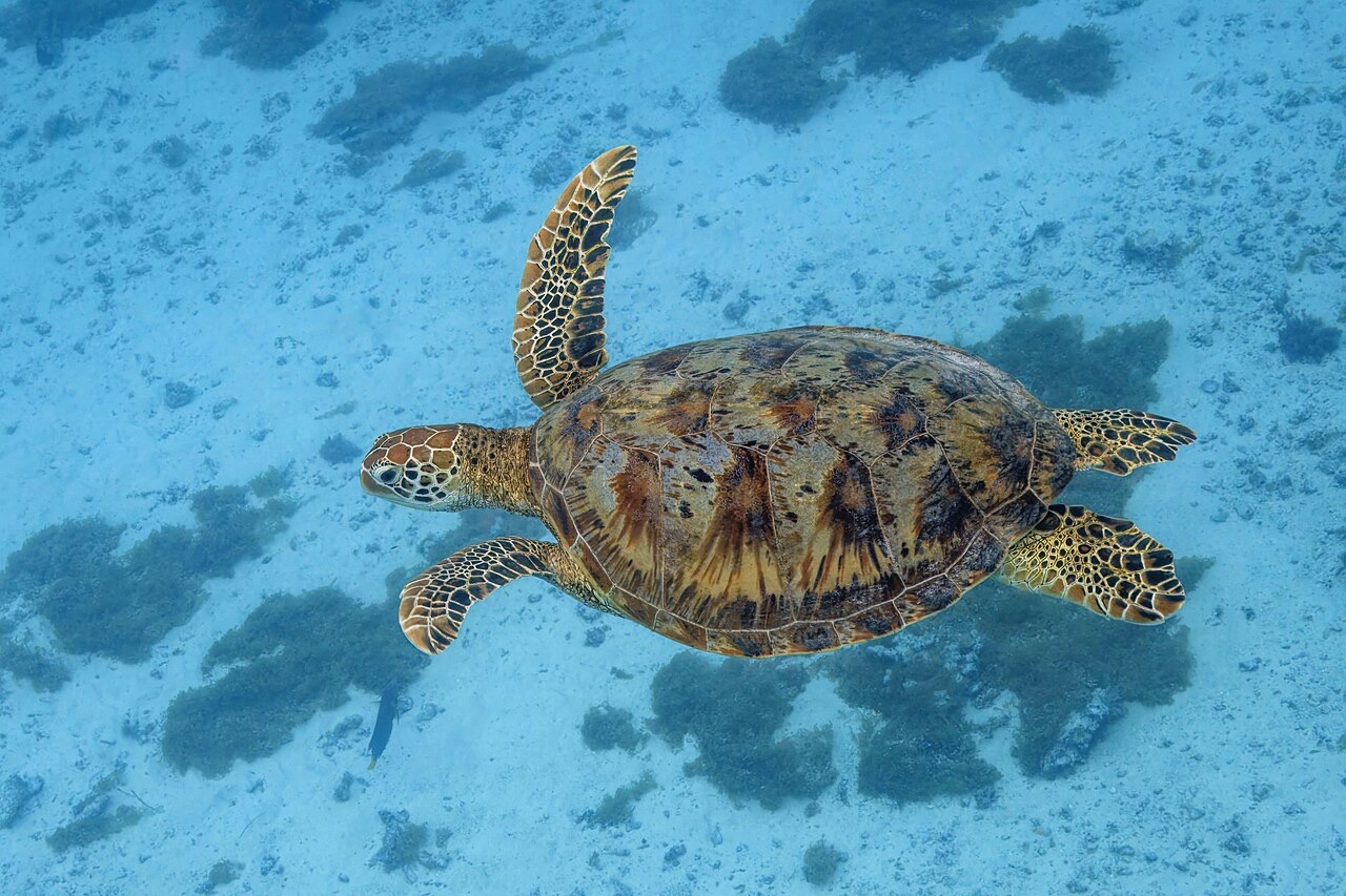
Green Sea Turtle
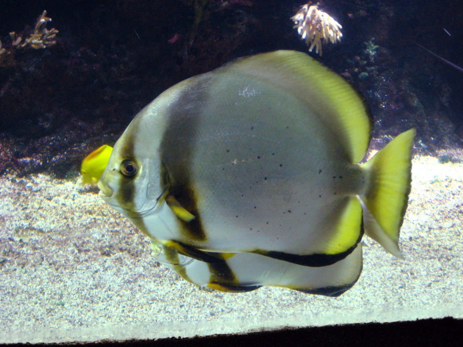
Pinnate Batfish
"Burada haritalanan" türler, editörlerimiz tarafından bu sayfadaki kaynaklardan listelenmiştir. Sayılar, GBIF kayıt sayılarıdır: 1990'dan itibaren haritalanan konumun yaklaşık 5 km çevresinde kaydedilen ve yalnızca kataloğumuzdaki türlerle eşleştirilen gözlemlerdir. Burada nelerin görüldüğünü gösterirler; neleri göreceğinizin garantisi değildir.
Fotoğrafçılar için
Geniş açı: ★★★★☆ · Makro: ★★★☆☆ (editörlerin her çekim tarzı için bu noktanın sunduğunu 1–5 üzerinden değerlendirmesi)