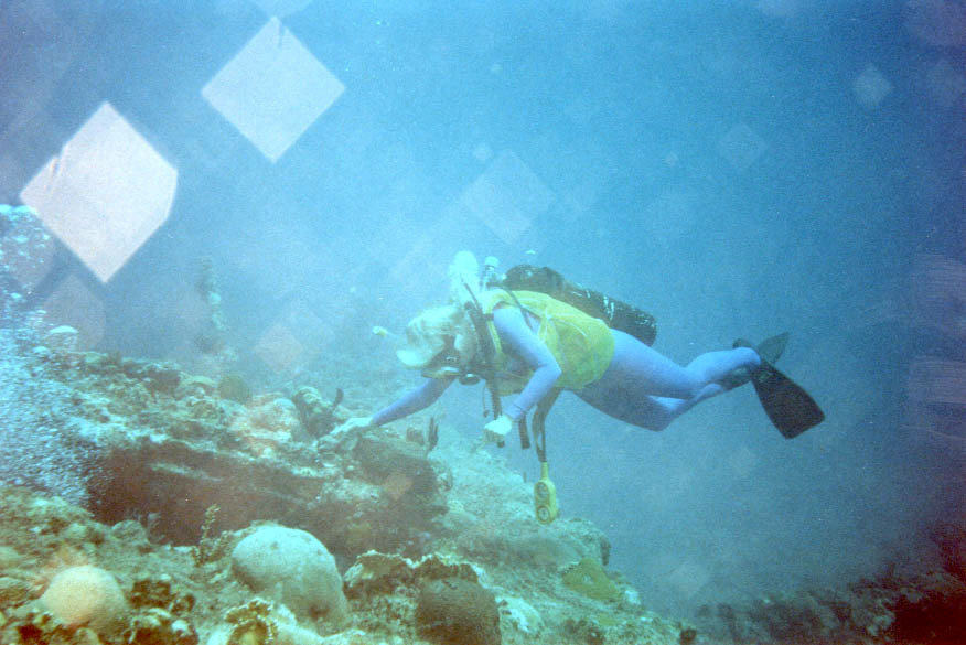
RMS Rhone
La profondeur correspond à la plage allant du sommet du site jusqu'à son maximum habituel ; le « niveau recommandé » est le niveau demandé en général par les opérateurs auprès des grandes agences, pas une règle légale. Les courants et la visibilité varient chaque jour, traitez donc tout cela comme des plages indicatives de planification.
The Royal Mail Steamer Rhone sank at Salt Island in the great hurricane of October 1867, taking around 123 of the roughly 145 people aboard, and more than a century and a half later she remains the Caribbean's defining wreck dive. The bow section lies on its side in the mid-twenties, hull plates open like a cathedral nave, sheathed in orange cup corals and swirling with silversides. The shallow stern holds the enormous bronze propeller, the famous lucky porthole, and enough light for long, easy exploration. Scenes from the 1977 film The Deep were shot here. Dive her with the respect a grave site deserves.
Le moment pour lequel vous venez: Intact coral-sheathed bow section, giant propeller in the shallows, richest wreck history in the region
Topographie: Rocky point and sand at Salt Island, wreckage in two depth bands
Courant: Current at Black Rock Point varies; the stern shallows can also carry surge.
Entrée: National park moorings serve the bow and stern sections separately; most operators run it as a two-tank dive.
À savoir avant de plonger
Dangers: Surge near Black Rock Point; open swim-throughs only, with true penetration inappropriate given the wreck's age and status.
Permis & règlements: National Parks Trust permit required; arranged by operators.
Conservation: The wreck and surrounding waters form the BVI's Wreck of the Rhone Marine Park; removing anything is illegal.
Nitrox: Pertinent ici : les profils se situent dans la plage où le nitrox prolonge significativement le temps sans palier (avec la formation pour l'utiliser).
Qui vous croiserez

Great Barracuda
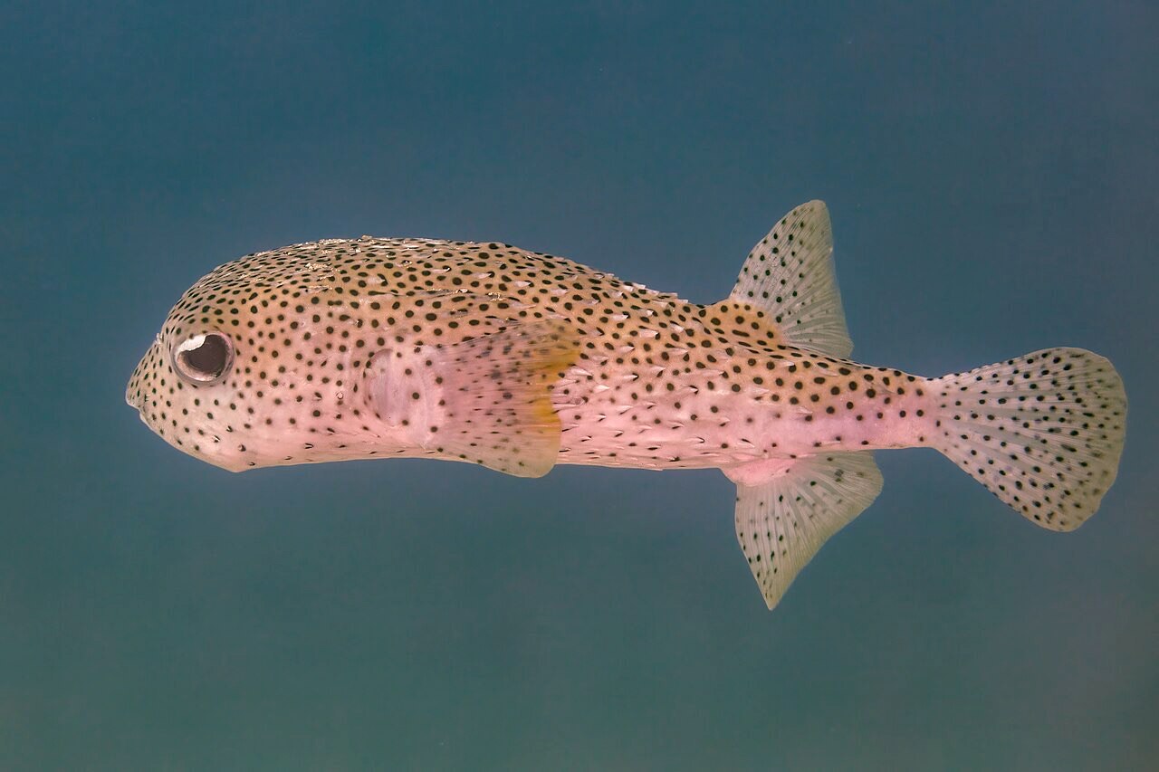
Porcupinefish
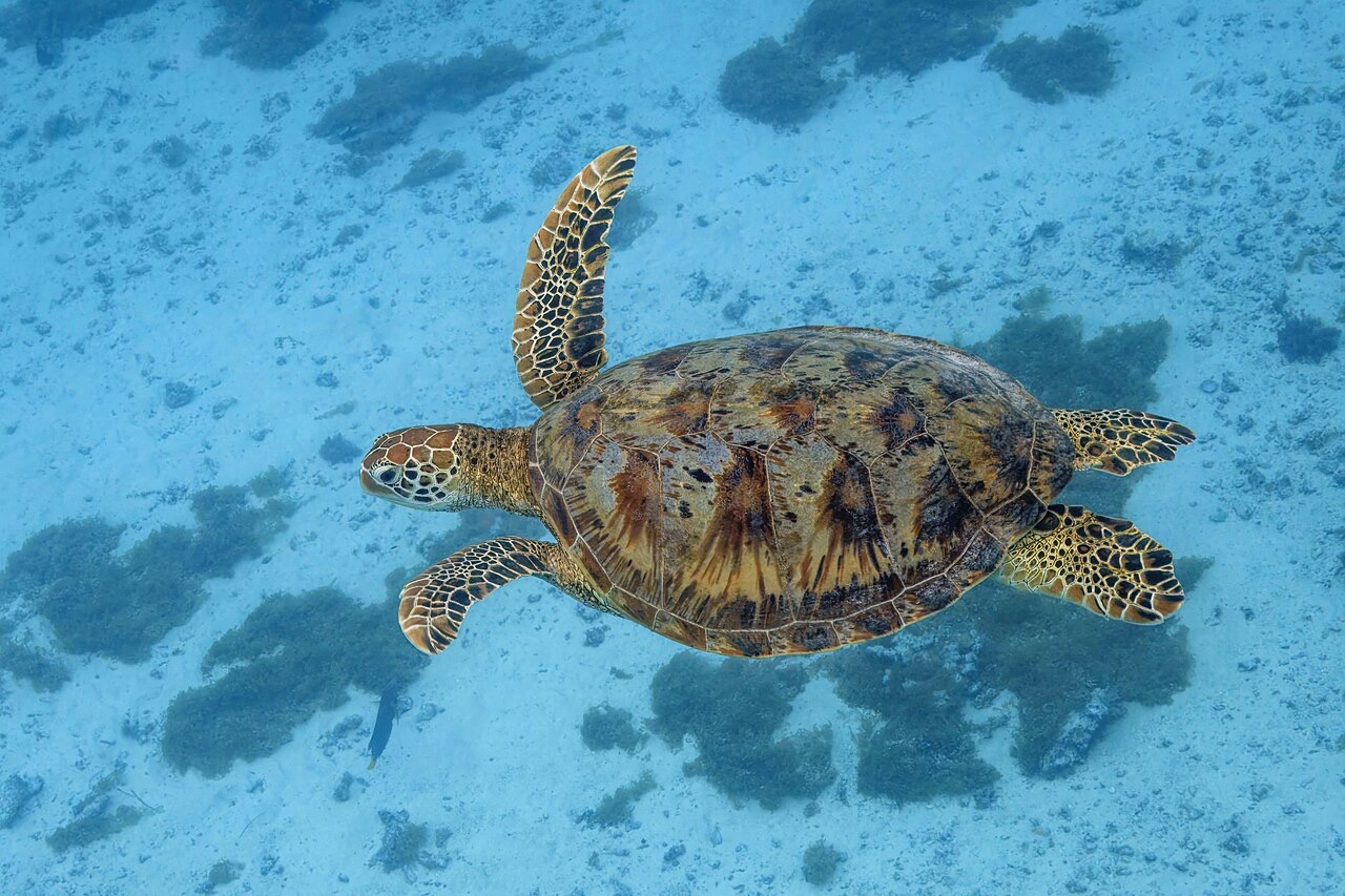
Green Sea Turtle
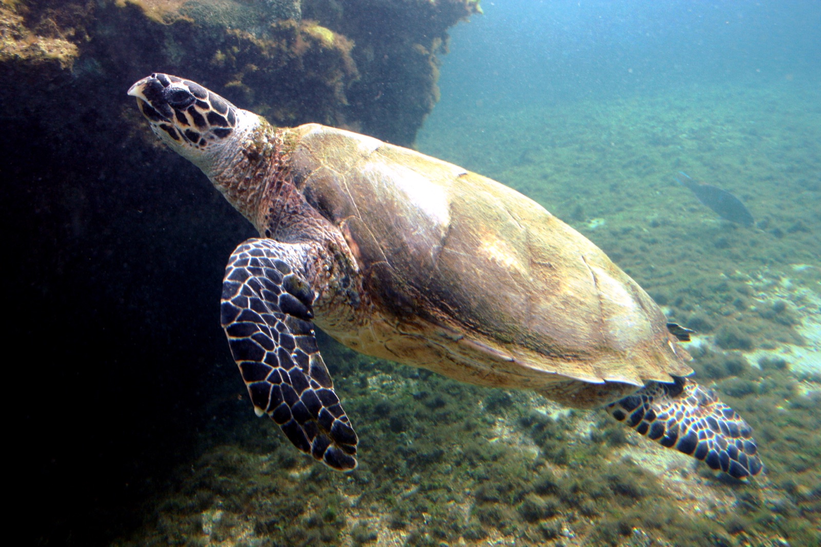
Hawksbill Turtle
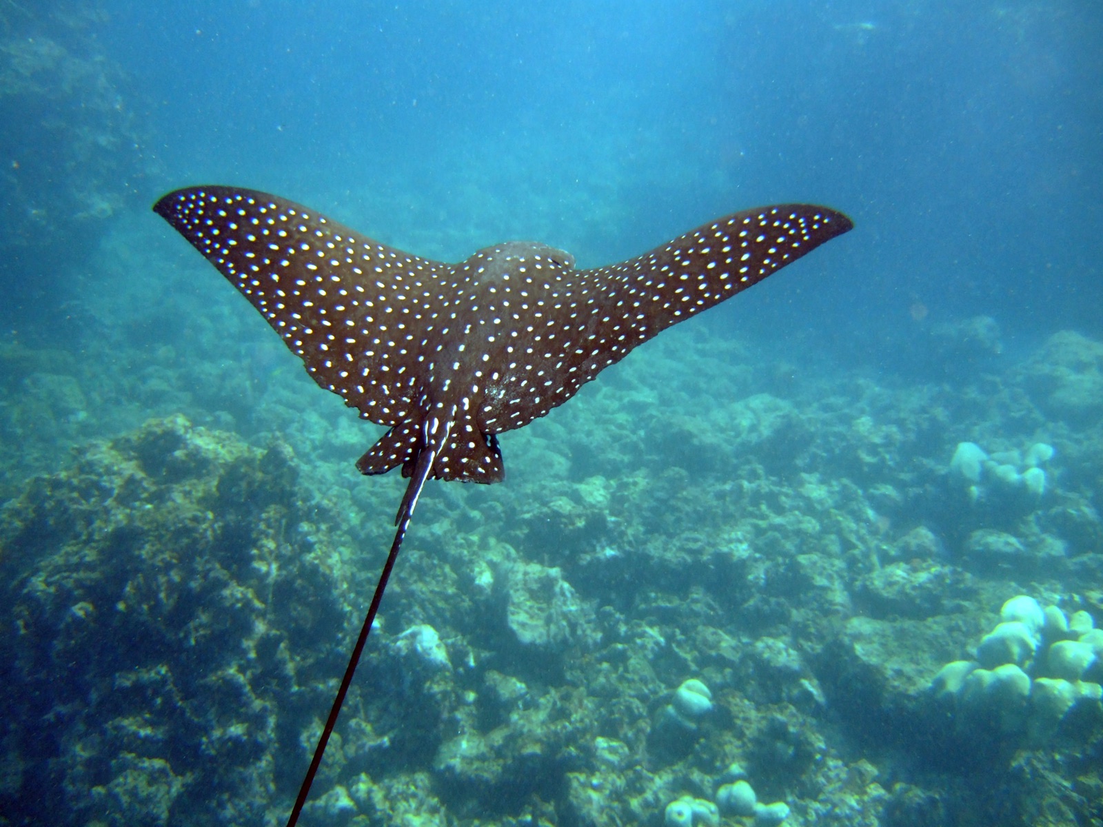
Spotted Eagle Ray
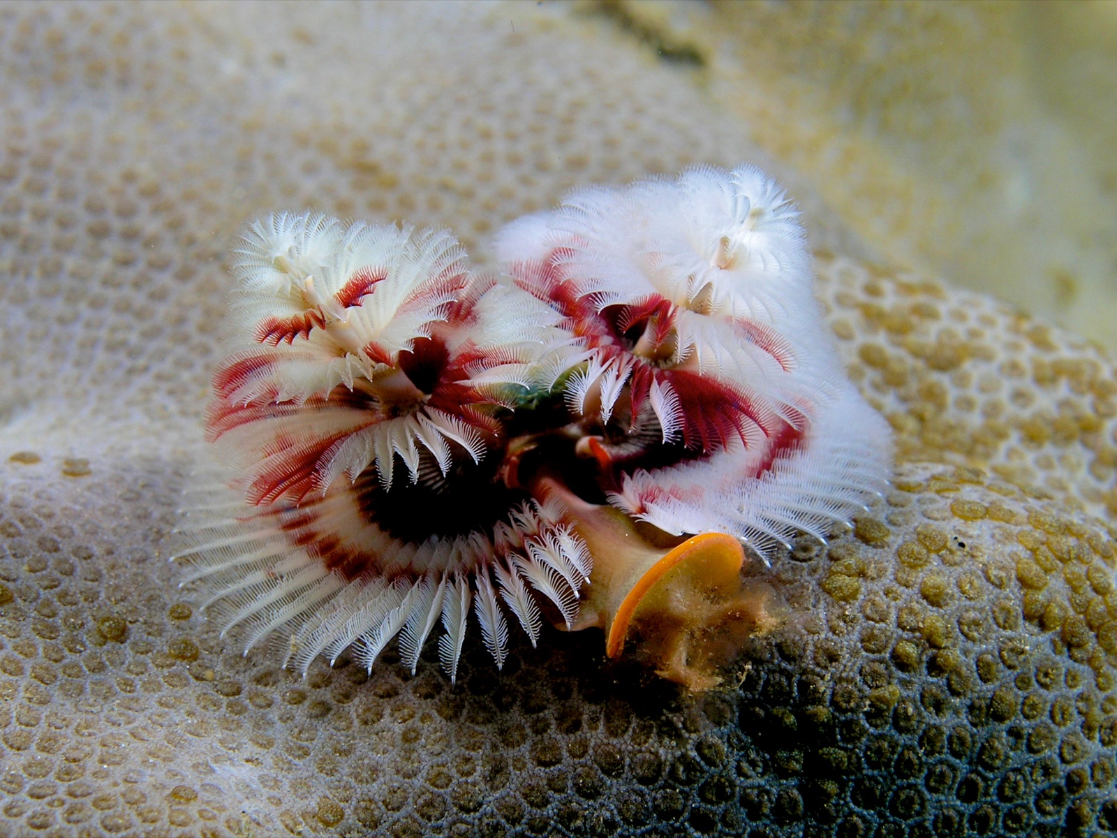
Christmas Tree Worm
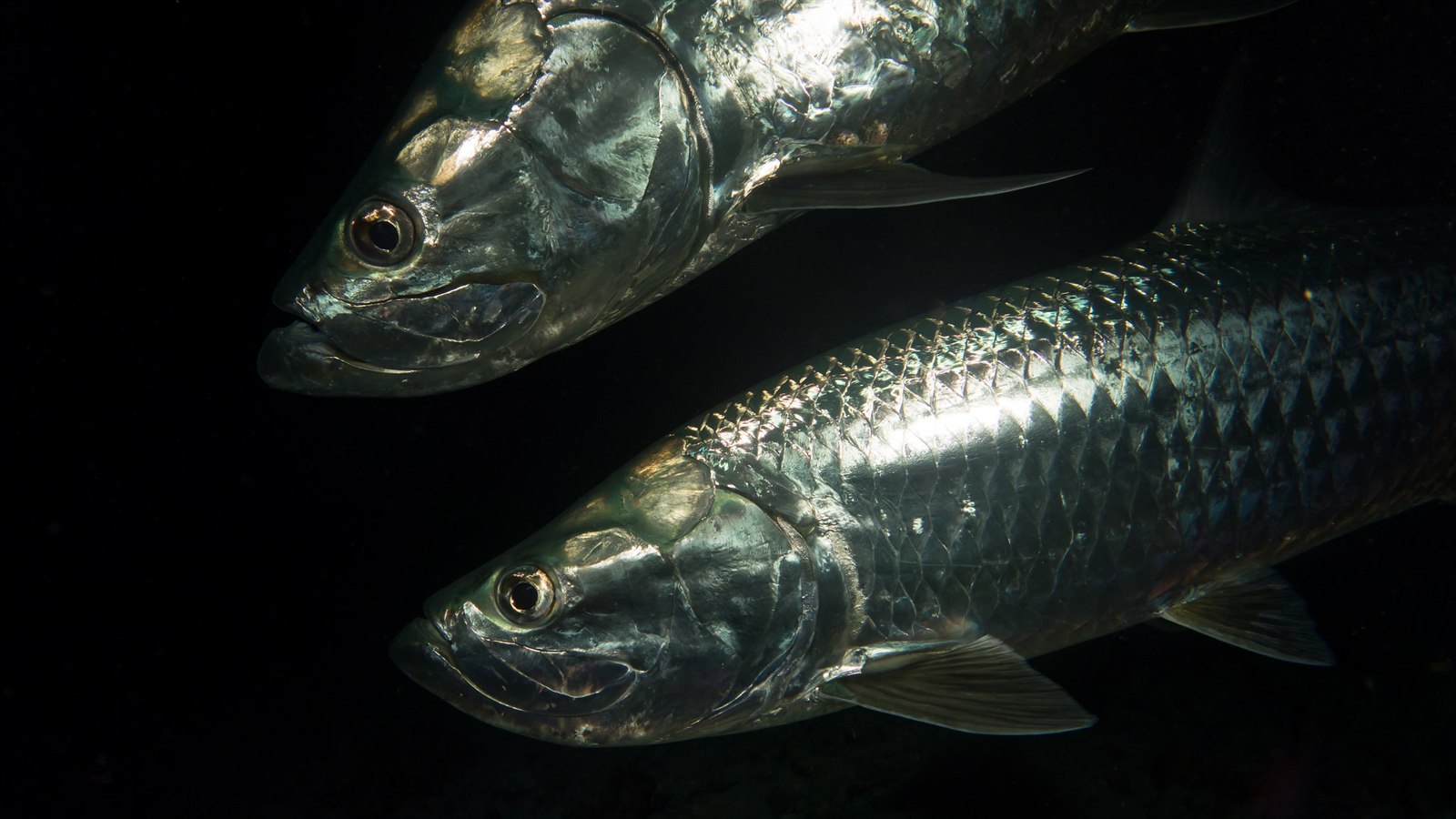
Atlantic Tarpon

Lionfish
Également observé à proximité
Les espèces « cartographiées ici » ont été répertoriées par nos éditeurs à partir des sources indiquées sur cette page. Les comptages correspondent aux occurrences GBIF : observations enregistrées dans un rayon d'environ 5 km autour de la position cartographiée depuis 1990, comparées uniquement aux espèces de notre catalogue. Ils indiquent ce qui a été observé à cet endroit, sans garantir ce que vous y verrez.
Pour les photographes
Grand angle: ★★★★★ · Macro: ★★★☆☆ (note 1–5 des éditeurs sur ce que ce site offre à chaque style de prise de vue)