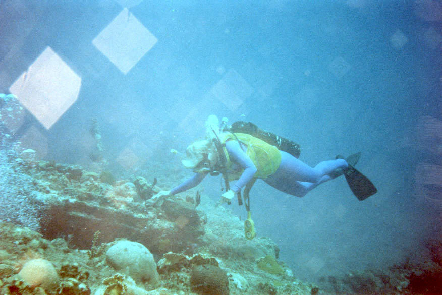
RMS Rhone
Derinlik, dalış noktasının tepesinden olağan maksimumuna kadar olan aralıktır; "önerilen sertifika" ise operatörlerin genellikle talep ettiği ana akım ajans düzeyidir, yasal bir kural değildir. Akıntı ve görüş her gün değişir, bu nedenle buradaki her şeyi planlama aralığı olarak değerlendirin.
The Royal Mail Steamer Rhone sank at Salt Island in the great hurricane of October 1867, taking around 123 of the roughly 145 people aboard, and more than a century and a half later she remains the Caribbean's defining wreck dive. The bow section lies on its side in the mid-twenties, hull plates open like a cathedral nave, sheathed in orange cup corals and swirling with silversides. The shallow stern holds the enormous bronze propeller, the famous lucky porthole, and enough light for long, easy exploration. Scenes from the 1977 film The Deep were shot here. Dive her with the respect a grave site deserves.
Tam da bunun için geldiğiniz an: Intact coral-sheathed bow section, giant propeller in the shallows, richest wreck history in the region
Topografya: Rocky point and sand at Salt Island, wreckage in two depth bands
Akıntı: Current at Black Rock Point varies; the stern shallows can also carry surge.
Giriş: National park moorings serve the bow and stern sections separately; most operators run it as a two-tank dive.
Suya girmeden önce bilinmesi gerekenler
Tehlikeler: Surge near Black Rock Point; open swim-throughs only, with true penetration inappropriate given the wreck's age and status.
İzinler & kurallar: National Parks Trust permit required; arranged by operators.
Koruma: The wreck and surrounding waters form the BVI's Wreck of the Rhone Marine Park; removing anything is illegal.
Nitrox: Burada değer: profiller, nitrox'un no-stop süresini anlamlı ölçüde uzattığı (ve bunu kullanacak eğitimle birlikte) aralıkta yer alıyor.
Kimlerle karşılaşacaksınız

Great Barracuda
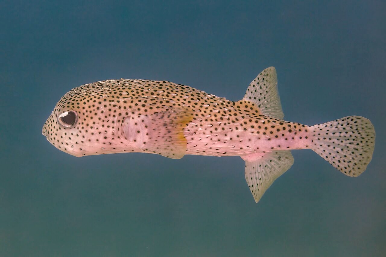
Porcupinefish
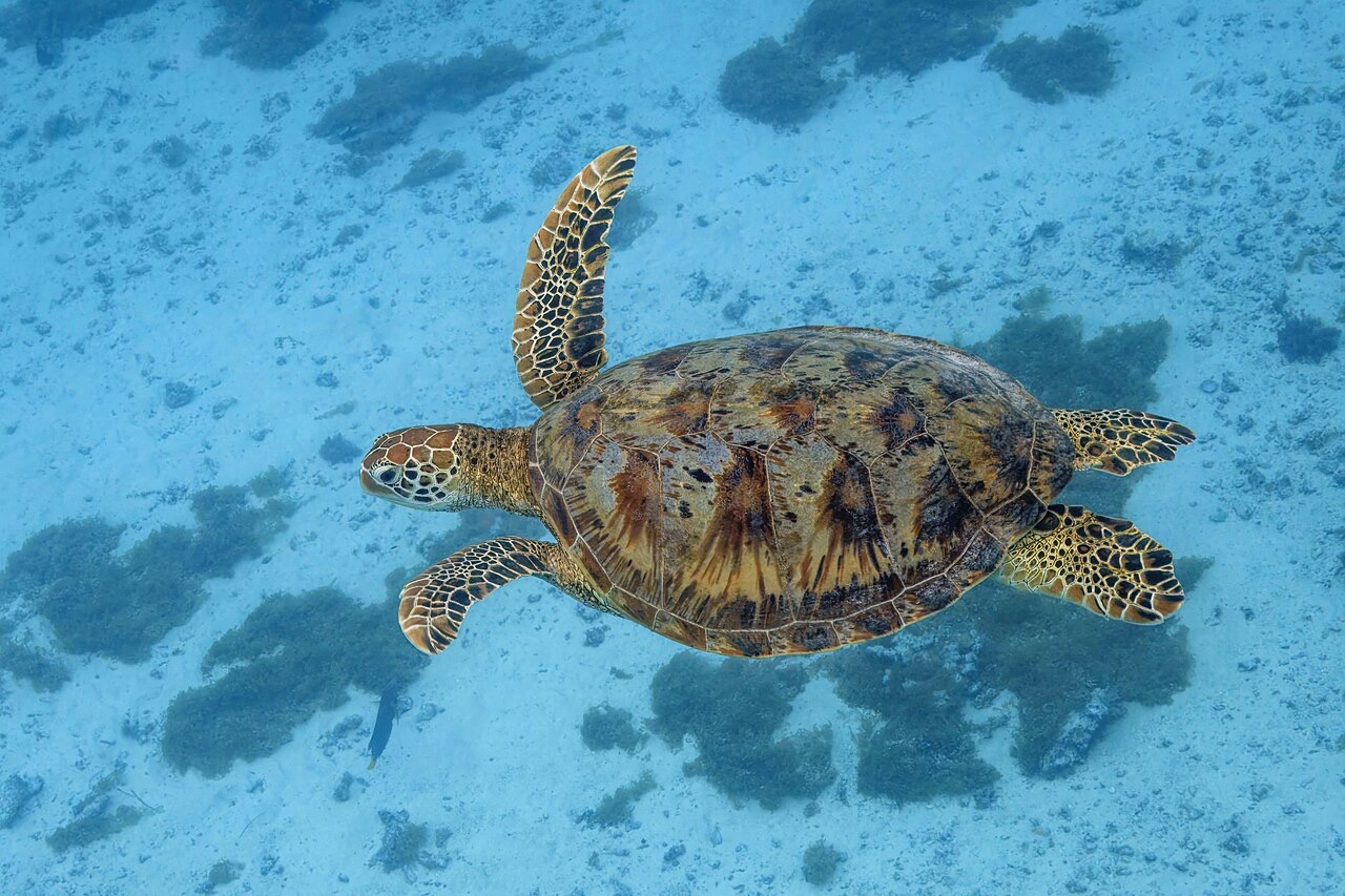
Green Sea Turtle
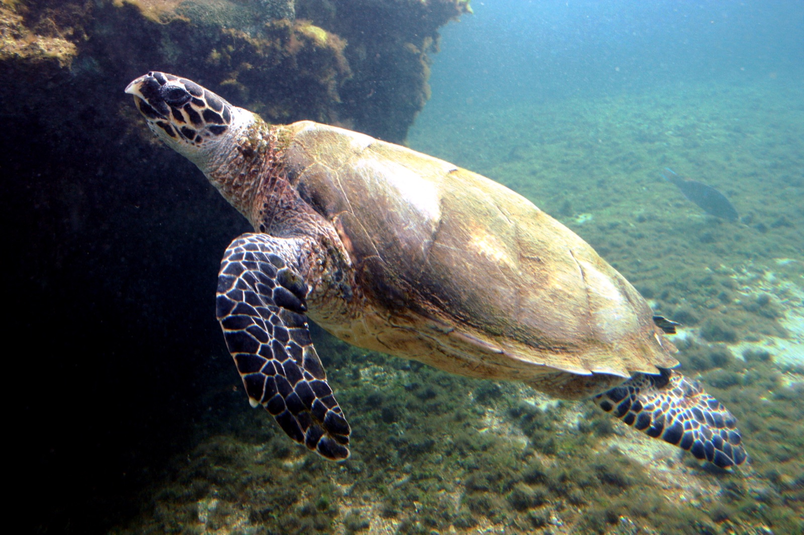
Hawksbill Turtle
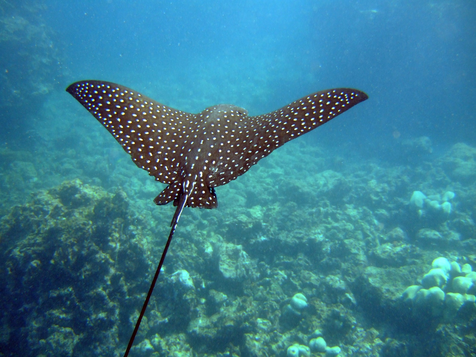
Spotted Eagle Ray
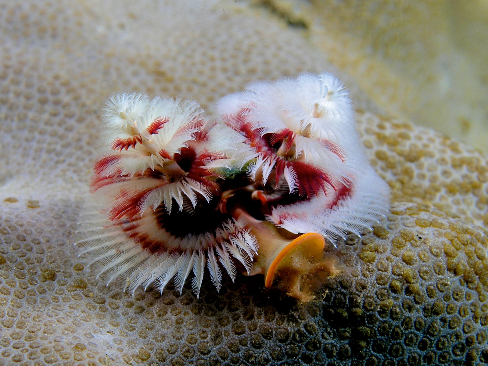
Christmas Tree Worm
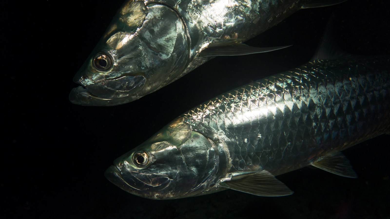
Atlantic Tarpon

Lionfish
Yakınında da kaydedilmiş
"Burada haritalanan" türler, editörlerimiz tarafından bu sayfadaki kaynaklardan listelenmiştir. Sayılar, GBIF kayıt sayılarıdır: 1990'dan itibaren haritalanan konumun yaklaşık 5 km çevresinde kaydedilen ve yalnızca kataloğumuzdaki türlerle eşleştirilen gözlemlerdir. Burada nelerin görüldüğünü gösterirler; neleri göreceğinizin garantisi değildir.
Fotoğrafçılar için
Geniş açı: ★★★★★ · Makro: ★★★☆☆ (editörlerin her çekim tarzı için bu noktanın sunduğunu 1–5 üzerinden değerlendirmesi)