ダイビングスポット、シーズン、海洋生物——調査・マッピング・計画済み。
メニュー
目的地 ダイブサイト マリンライフ 沈船 ニュース
トリップを計画する トリッププランナー ダイビングの時期 費用計算ツール 比較一覧 マリンライフカレンダー 水温 リブアボード オペレーター&リゾート 海洋公園 高気圧酸素治療施設 世界地図
地域一覧 オーストラリア、ニュージーランド&東アジアカリブ海&西大西洋ヨーロッパ・大西洋・地中海インド洋・東アフリカ太平洋諸島&ミクロネシア紅海&中東東南アジア・コーラルトライアングル南北アメリカ・東太平洋 国・地域
学習&ツール 全ガイド ライセンス・資格 器材ガイド 動画 データに聞く AIエージェント API
このサイトについて 私たちについて 調査方法 免責事項 お問い合わせ
表示形式
★ 保存済み

お気に入り登録した目的地・ダイブサイト・生物 — このブラウザに保存されています。

APIゲートウェイ

アトラスのキャッシュデータへの無料・読み取り専用JSONアクセス。

ダークモード

🧭 ガイドビュー
ダイビングを始めたばかりで、水深・流れ・ライセンスレベルについて知りたいですか?閲覧しながらすべての用語をわかりやすく解説しています。同じデータを、サポート付きでご覧いただけます。

⚡ エキスパートビュー
ウォールとドリフトダイブの違いはご存知のはず。データだけを——シンプルに、素早く、コンパクトに。これがデフォルト表示です。

インターフェース言語
Akitsushima — illustrative image

Akitsushima

Wreck 20–38 m Advanced Coron, Philippines
AI生成イラスト
十分に記録済み
水深
20–38 m / 66–125 ft
典型的な水深
28 m / 92 ft
透明度
5–15 m / 16–49 ft
27–30 °C / 81–86 °F
流れ(カレント)
Mild
アクセス
Boat
ベストシーズン
Nov–Apr
推奨認定レベル
Advanced Open Water with deep experience; wreck training for interiors
典型的なダイビング
~40 min

水深はサイト上部から通常の最大深度までの範囲を示し、「推奨認定レベル」はオペレーターが一般的に求めるメインストリーム機関の資格レベルであり、法的な義務ではありません。流れと透明度は日々変化します——ここに掲載されている情報はすべて計画の目安としてご利用ください。

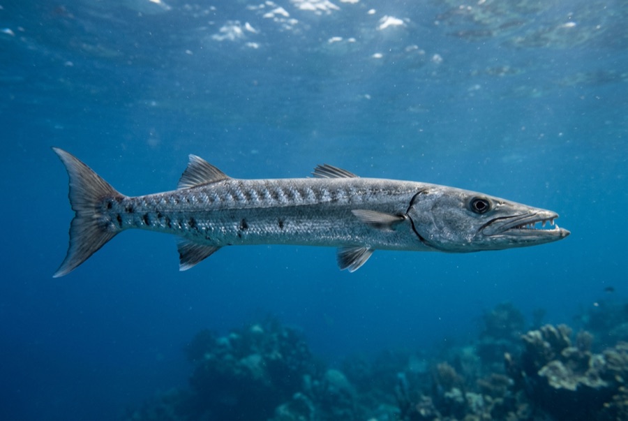
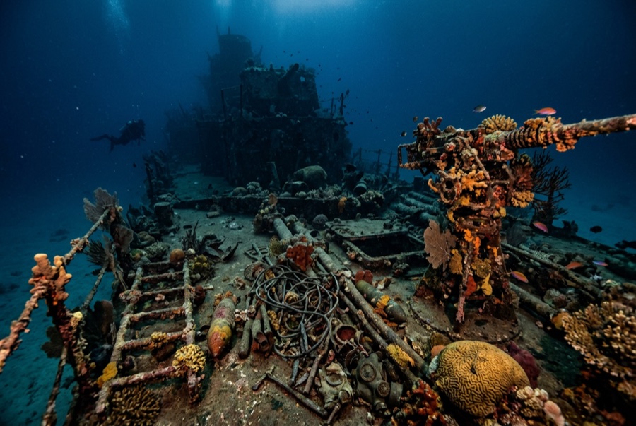
Akitsushima was a true warship, a seaplane tender of about 118 m built to service flying boats, and she fought back when Task Force 38's aircraft found the fleet on 24 September 1944. She lies hard over on her port side at up to 38 m, her huge stern crane collapsed toward the sand where the flying boat once rode. Crew died with the ship, and briefings say so plainly. Divers run the tilted hull past gun positions and the crane lattice, while trained teams enter holds and machinery spaces where fuel-dark corridors demand lights and level heads. Barracuda and snapper school along the shadowed keel line.

その瞬間のために: Genuine warship history, the seaplane crane, atmospheric side-lying hull for experienced divers

地形: Hull on its port side on sand at 36-38 m

流れ(カレント): Sheltered between islands; mild flow along the hull on exchanges.

このサイトは「海図に載った難破船」です Akitsushima — Japanese navy seaplane tender (flying-boat support ship), 沈没 1944. 沈船の完全な歴史とダイブガイド →

エントリー前に知っておこう

危険生物・リスク: Depth, disorienting sideways geometry, and confined silty interiors; penetration is for the trained with a knowledgeable guide.

保全: A wartime loss with fatalities; dive with the restraint owed to the dead, and leave all wreckage in place.

ナイトロックス: ここでは効果的です——このエリアのプロファイルは、ナイトロックスが無減圧潜水時間を有意に延ばせる水深帯にあります(適切なトレーニングを受けていることが前提です)。

出会える生物
水中フォトグラファー向け

ワイドアングル: ★★★★☆ · マクロ: ★★☆☆☆ — 各撮影スタイルに対するこのサイトの評価(編集部による1〜5点)

オーストラリア、ニュージーランド&東アジア

Cairns & the Ribbon ReefsNingaloo ReefCoral Sea & Osprey ReefOkinawa & the Kerama IslandsPoor Knights IslandsTownsville & the YongalaGreen IslandIzu Peninsula

カリブ海&西大西洋

BonaireCozumelRiviera Maya & the CenotesBelize Barrier ReefGrand CaymanIsla Mujeres & CancúnRoatánTiger Beach & Grand Bahama

ヨーロッパ・大西洋・地中海

Malta & GozoSilfra & IcelandThe AzoresCanary IslandsLarnaca & the ZenobiaScapa FlowArctic NorwayMadeira

インド洋・東アフリカ

North & South Malé AtollsAri AtollBaa Atoll & Hanifaru BayAliwal Shoal & UmkomaasMafia IslandMauritiusSeychellesSodwana Bay

太平洋諸島&ミクロネシア

PalauChuuk (Truk) LagoonFakaravaKona, HawaiʻiRangiroaTaveuni & Rainbow ReefBeqa Lagoon & Pacific HarbourEspiritu Santo

紅海&中東

Sharm El Sheikh & Ras MohammedBrothers, Daedalus & St John'sDahabHurghada & El GounaMarsa Alam & the Deep SouthAqabaDaymaniyat IslandsMusandam Peninsula

東南アジア・コーラルトライアングル

Bali & Nusa PenidaKomodoRaja AmpatSipadan & MabulAnilaoCoronKoh TaoLembeh Strait

南北アメリカ・東太平洋

Galápagos IslandsCocos IslandFlorida KeysSea of Cortez & Cabo PulmoSocorro & the RevillagigedosBritish ColumbiaCalifornia Channel IslandsCosta Rica Pacific Coast