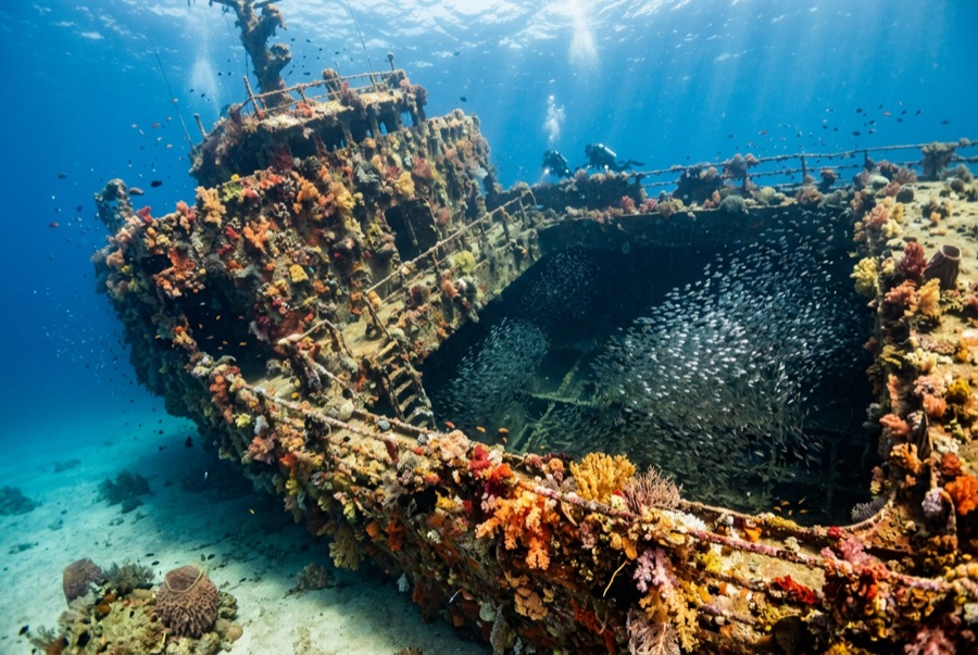
SS Benwood
A profundidade indica a faixa desde o topo do ponto até o seu máximo habitual; a "certificação recomendada" é o nível das agências convencionais que os operadores costumam exigir, não uma exigência legal. Correntes e visibilidade mudam diariamente — trate tudo aqui como referências de planejamento.
The Benwood went down in April 1942 the hard way: running darkened against U-boat threat, she collided with a blacked-out tanker off Key Largo and was lost, later flattened further by salvage and target practice. What remains is the Keys' perfect learning wreck - a recognizable bow, ribs, and hull plates spread across 8-14 m of clean sand, every inch colonized. Grunts and snapper school in the shelter of the plates, morays and lobster fill the voids, rays cruise the perimeter, and at night the wreck switches shifts: octopus hunting, shrimp eyes glittering, nurse sharks nosing the rubble. Half history lesson, half fish haven, and entirely manageable on a first wreck dive.
O momento pelo qual você vem: WWII casualty turned nursery, superb night diving, easy depths over open structure
Topografia: Broken freighter remains - bow section largest - on sand and rubble
Sabe antes de entrar na água
Perigos: Sharp, encrusted metal; occasional current along the sand.
Conservação: Protected within the sanctuary; the scattered structure is fragile - no souvenir hunting.
Quem vai encontrar
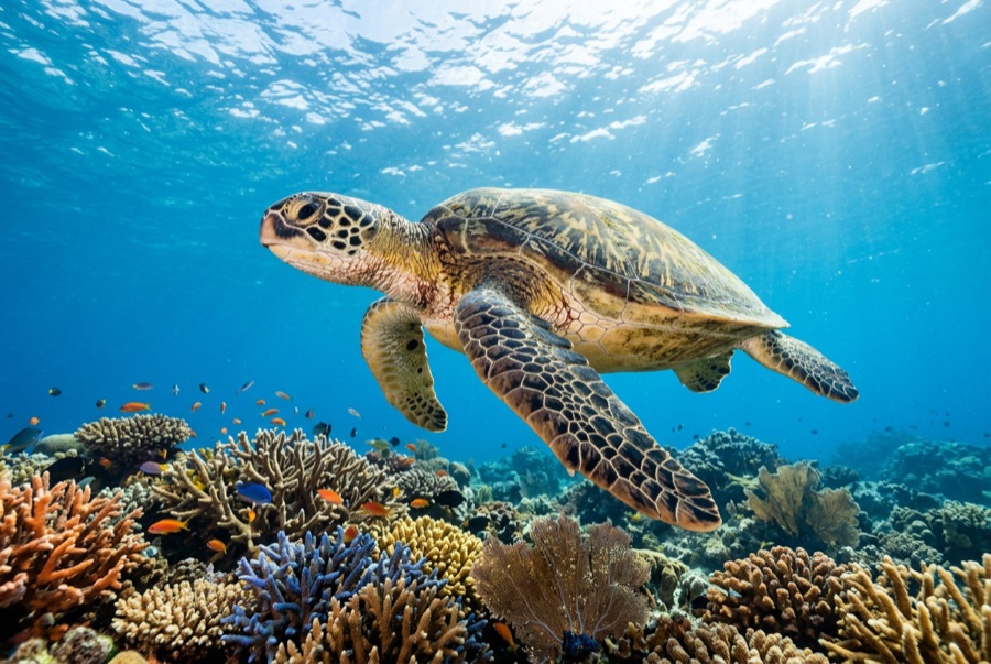
Green Sea Turtle
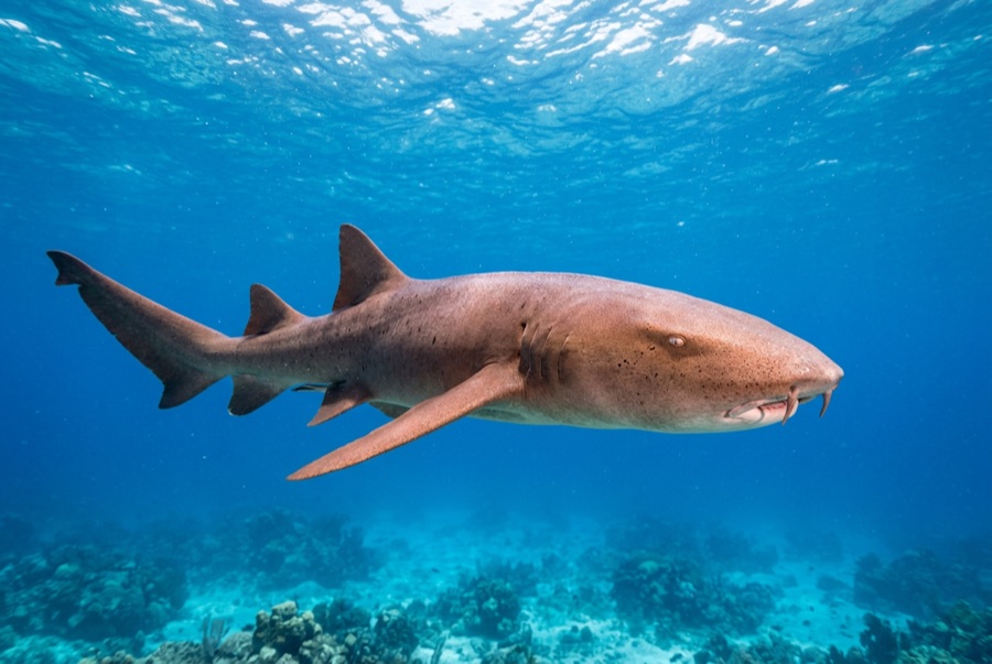
Nurse Shark
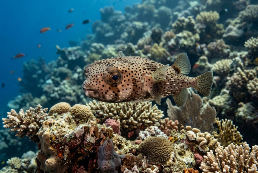
Porcupinefish
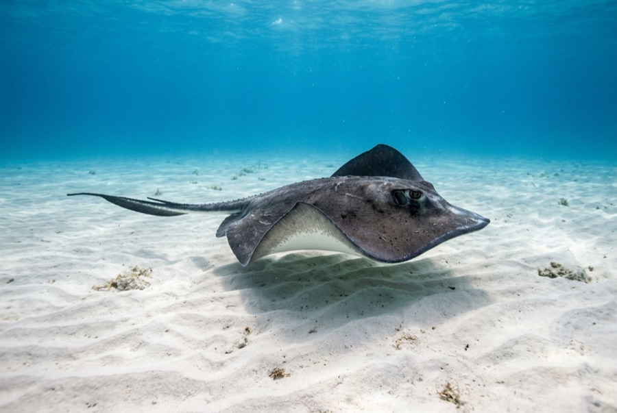
Southern Stingray
Para fotógrafos
Grande angular: ★★★★☆ · Macro: ★★★☆☆ — classificação de 1–5 dos editores sobre o que este sítio oferece a cada estilo de fotografia