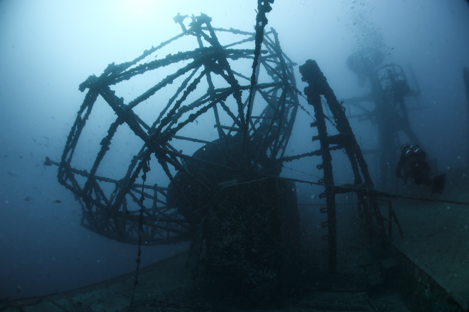
USNS Vandenberg
La profondità indica l'intervallo dalla sommità del sito al suo massimo abituale; il "brevetto consigliato" è il livello richiesto dalla maggior parte degli operatori delle principali agenzie, non una norma di legge. Correnti e visibilità cambiano ogni giorno, quindi considera tutto come intervalli di pianificazione.
The Vandenberg tracked missiles and spacecraft through the Cold War, her giant parabolic radar dishes following launches downrange from Cape Canaveral. Scuttled south of Key West in 2009 as one of the largest artificial reefs ever created, she sits upright with those dishes still mounted - the most surreal photographic subject in the Keys, a satellite ship parked on the seabed. Structure starts around 14-20 m and the tour deepens from there, past kingposts, cranes, and swim-through passages prepped for trained divers. Barracuda and jacks own the superstructure, goliath groupers boom in the interior, and lionfish hunters work her constantly. Two dives minimum; she rewards ten.
Il momento che aspettavi: Radar dishes on a sunken tracking ship, huge intact structure, Key West's signature dive
Topografia: 159 m missile-tracking ship upright on sand at about 43 m
Corrente: Seven miles off Key West, exposed to current; multiple moorings let boats work the conditions.
Sapere prima di tuffarsi
Pericoli: Depth and current; genuine overhead spaces beyond the prepared swim-throughs.
Conservazione: FKNMS artificial reef; moorings mandatory, removal of anything prohibited.
Nitrox: Vale la pena qui: i profili rientrano nell'intervallo in cui l'aria arricchita (nitrox) prolunga in modo significativo il tempo di non-decompressione (con la formazione necessaria per utilizzarla).
Chi incontrerai

Great Barracuda

Lionfish
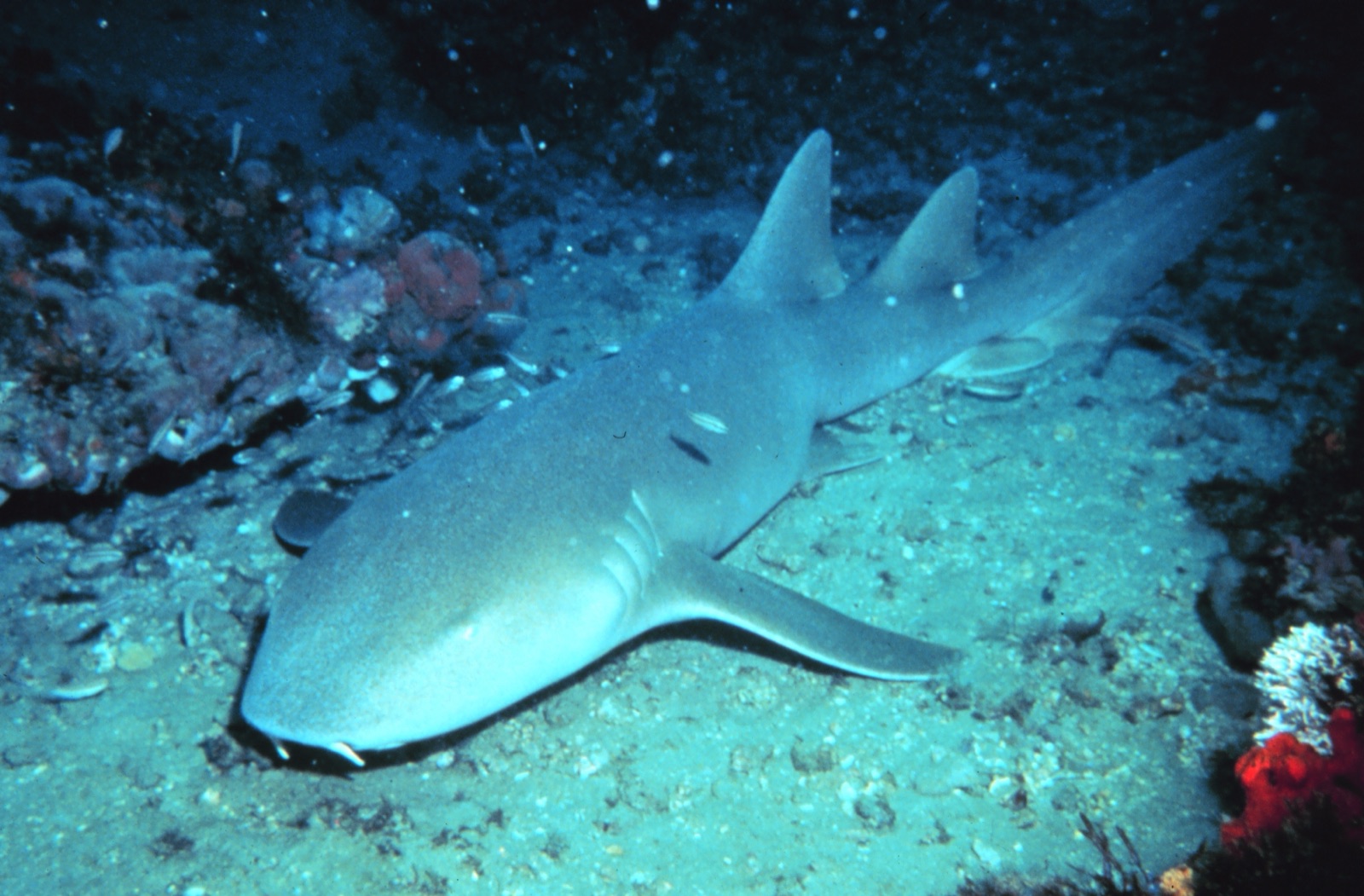
Nurse Shark
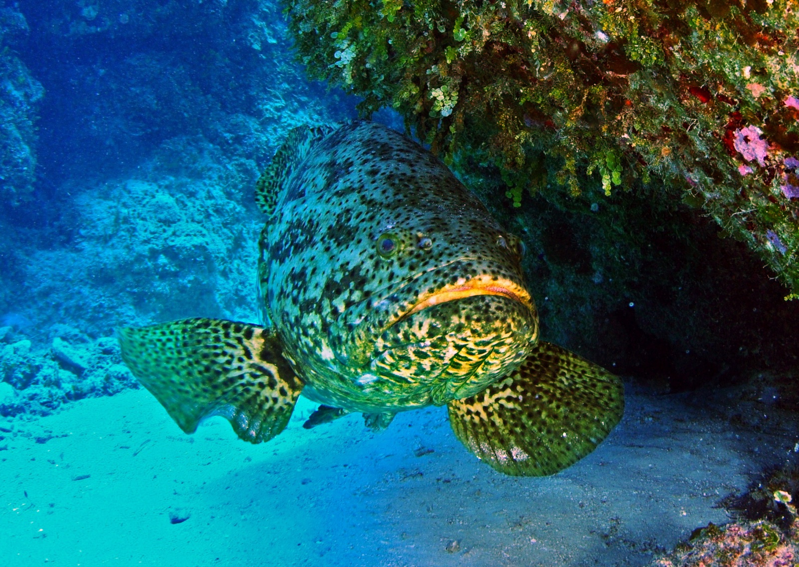
Atlantic Goliath Grouper
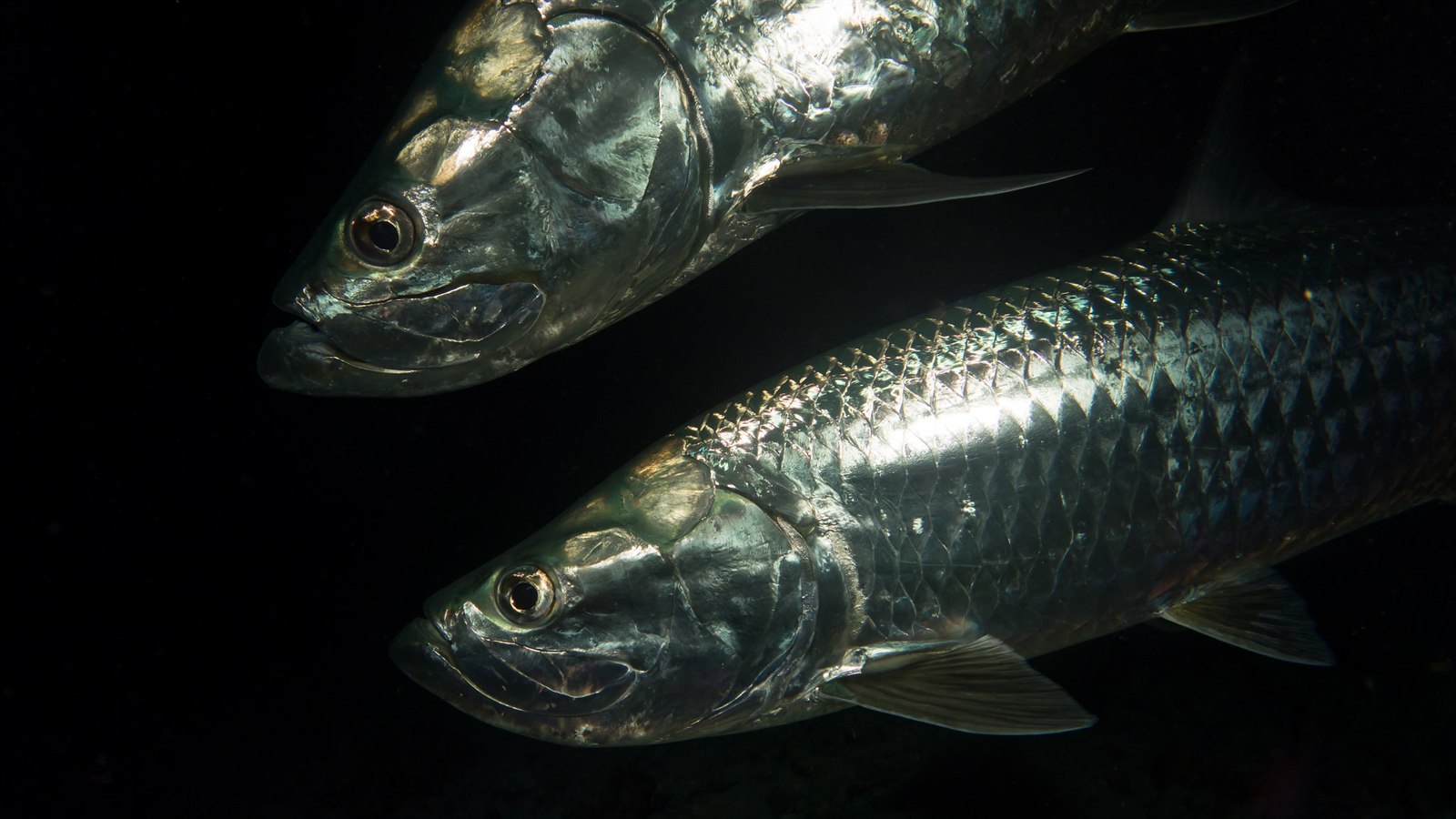
Atlantic Tarpon
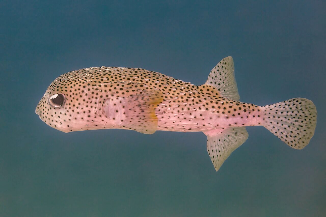
Porcupinefish
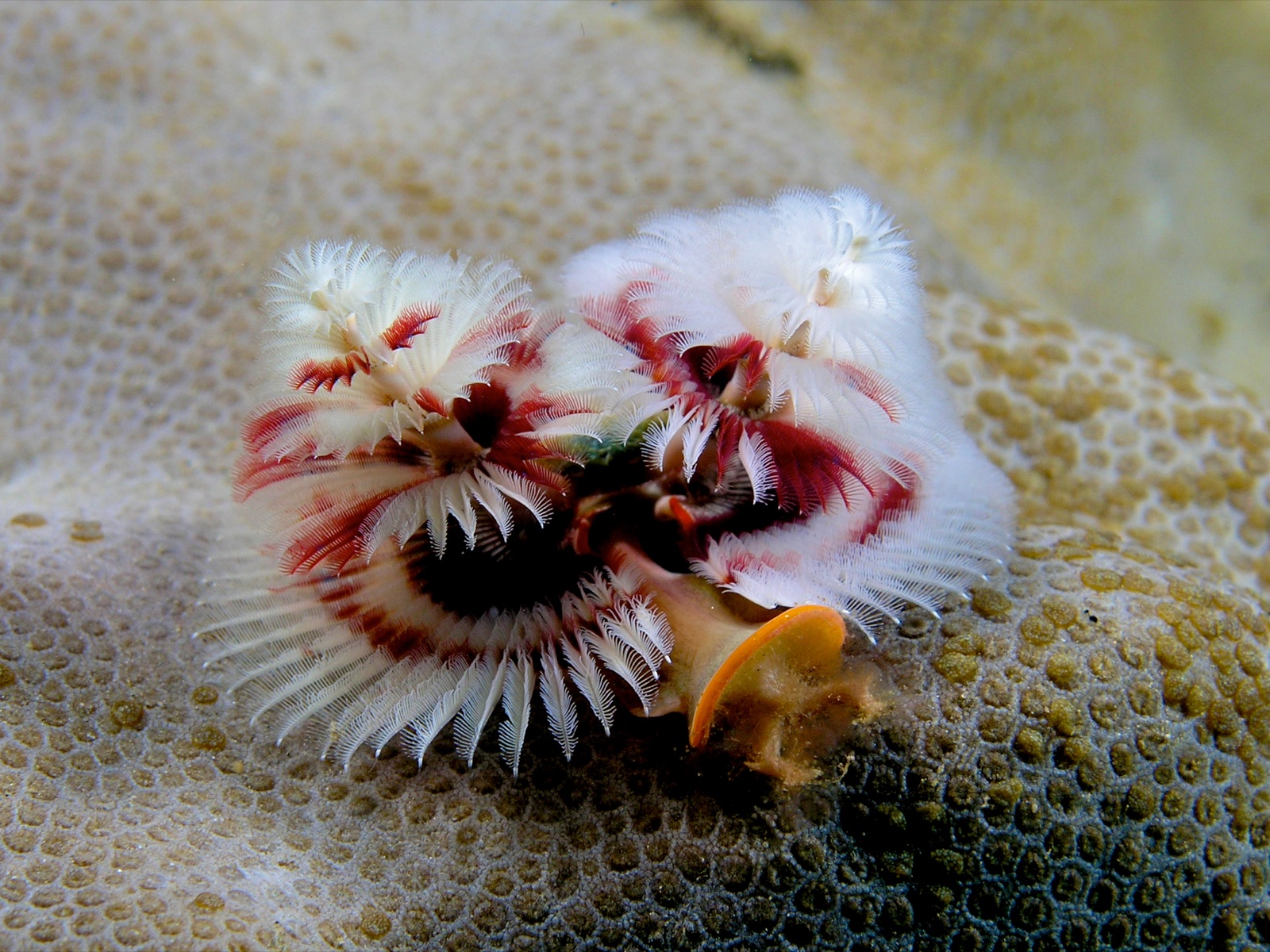
Christmas Tree Worm
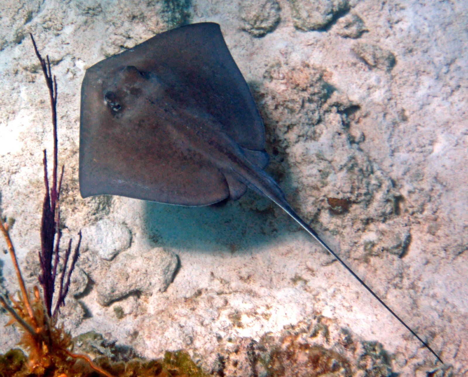
Southern Stingray
Registrate anche nelle vicinanze
Le specie "schedate qui" sono state inserite dai nostri redattori a partire dalle fonti indicate in questa pagina. I conteggi sono record di occorrenza GBIF: osservazioni registrate entro circa 5 km dalla posizione indicata in carta a partire dal 1990, confrontate esclusivamente con le specie presenti nel nostro catalogo. Mostrano ciò che è stato avvistato in quel luogo, non una garanzia di ciò che vedrete.
Per i fotografi
Grandangolo: ★★★★★ · Macro: ★☆☆☆☆ (valutazione da 1 a 5 dei redattori su ciò che questo sito offre per ogni stile di ripresa)