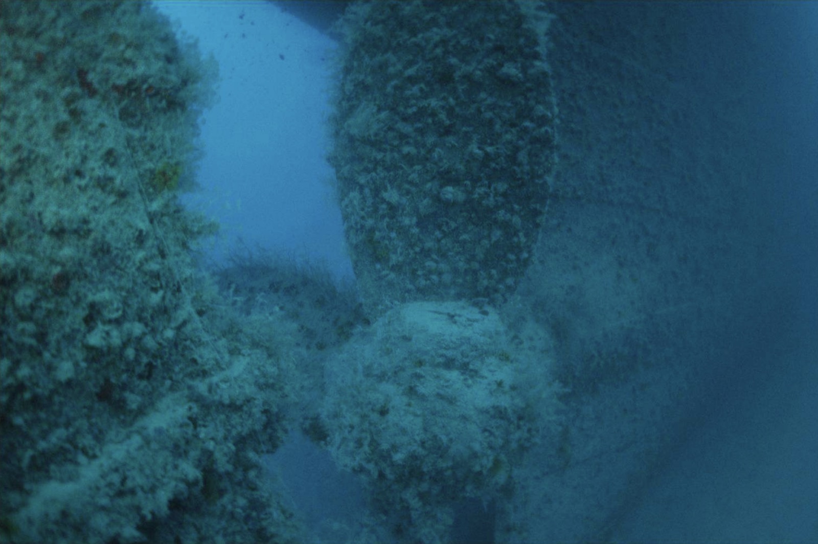
Rosalie Moller
La profondeur correspond à la plage allant du sommet du site jusqu'à son maximum habituel ; le « niveau recommandé » est le niveau demandé en général par les opérateurs auprès des grandes agences, pas une règle légale. Les courants et la visibilité varient chaque jour, traitez donc tout cela comme des plages indicatives de planification.
Two nights after the Thistlegorm was bombed, the same air campaign found the Rosalie Moller waiting at anchor near Gubal Island with a cargo of Welsh coal, and put her on the bottom on 8 October 1941; two of her crew died. She sits upright in darker, greener water than her famous contemporary, deck around 35 meters, masts reaching up toward 20, and the depth has protected her: railings, winches, ladders, and lamps survive in a completeness the shallower wrecks lost long ago. Glassfish stream through the accommodation, big trevally and the odd tuna hunt the edges of visibility, and the atmosphere - quiet, dim, heavy with intact detail - stays with people. This is a serious dive with a short bottom time; nitrox or trimix turns it from a glimpse into a visit.
Le moment pour lequel vous venez: Intact deck furniture and fittings; the atmospheric gloom of a deep upright freighter; hunting trevally along the hull.
Topographie: Upright coal freighter on mud and sand at about 50 meters, deck in the mid-30s
Courant: Tide runs along the hull and the descent is a committed one - hand-over-hand on the line is normal.
Entrée: In the lee of Gubal Island; dived from liveaboards and long-range day boats on fixed lines, usually as the first dive of the day.
À savoir avant de plonger
Dangers: Depth and short no-deco windows; current on the lines; low ambient light; penetration is for trained teams only.
Conservation: Her completeness is the point - a wartime loss with lives taken, protected by depth. Leave every fitting in place.
Nitrox: Pertinent ici : les profils se situent dans la plage où le nitrox prolonge significativement le temps sans palier (avec la formation pour l'utiliser).
Qui vous croiserez

Lionfish
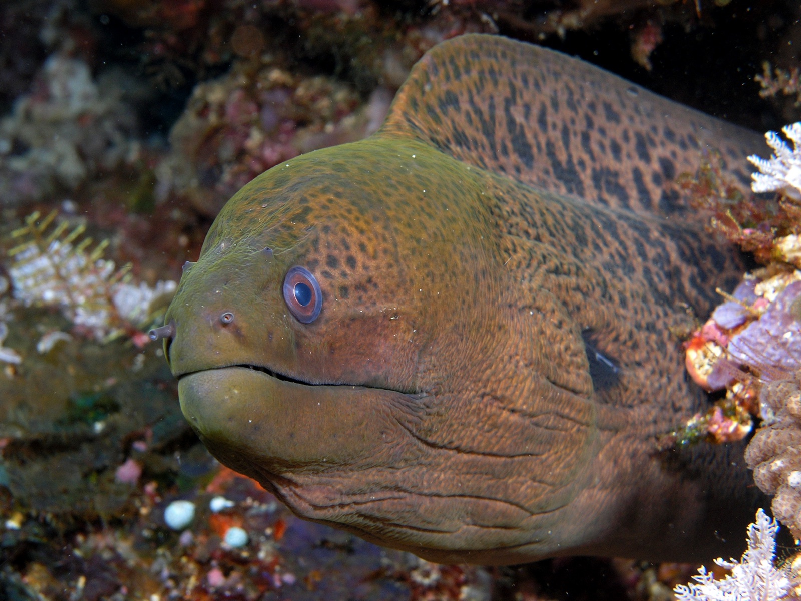
Giant Moray Eel
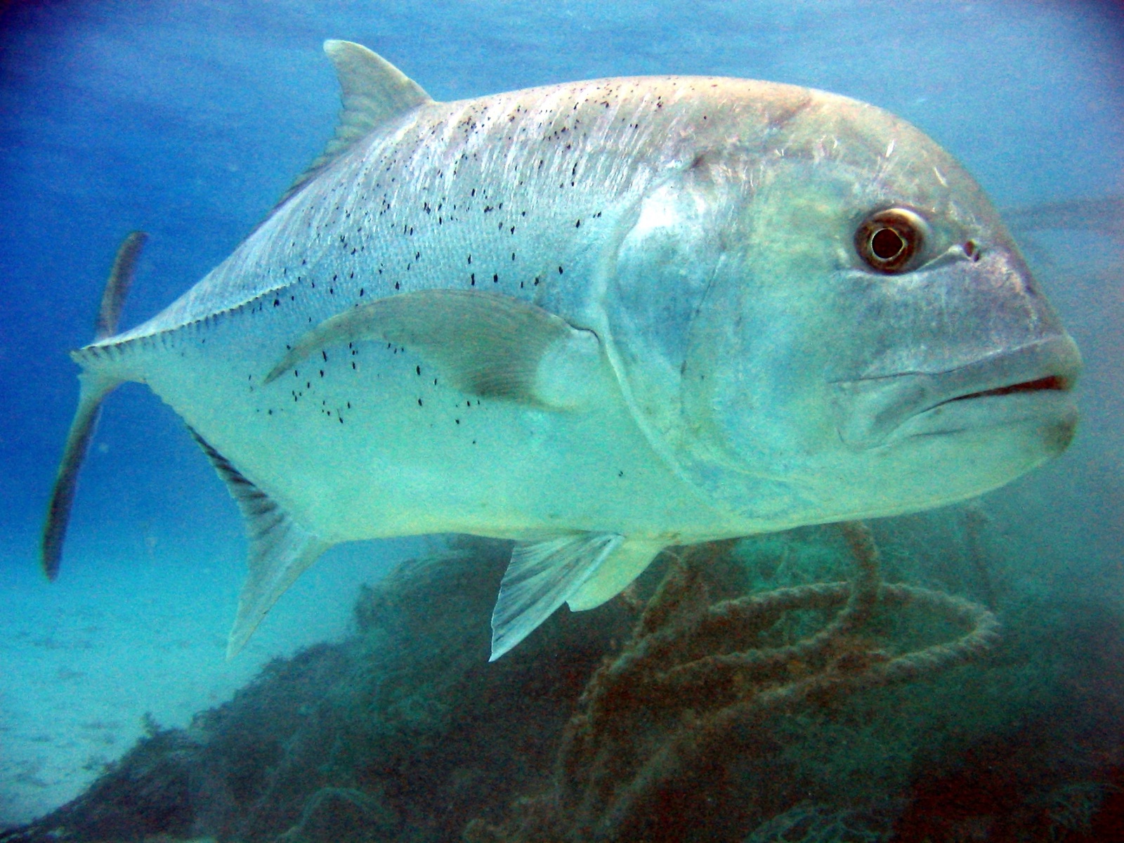
Giant Trevally
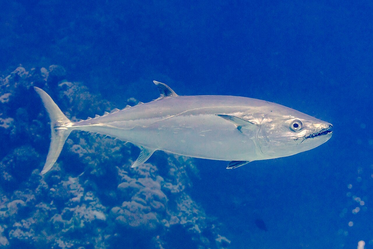
Dogtooth Tuna
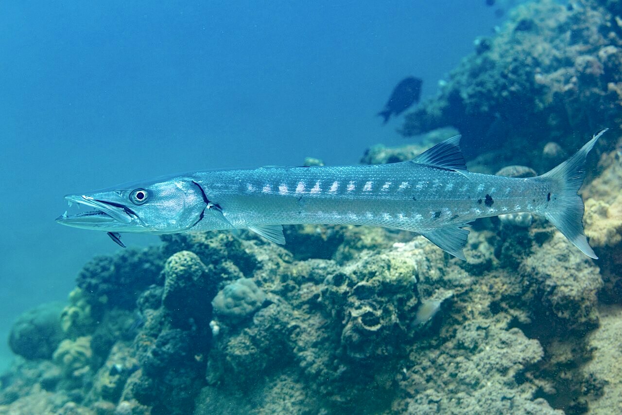
Great Barracuda

Clownfish & Anemonefish

Nudibranchs
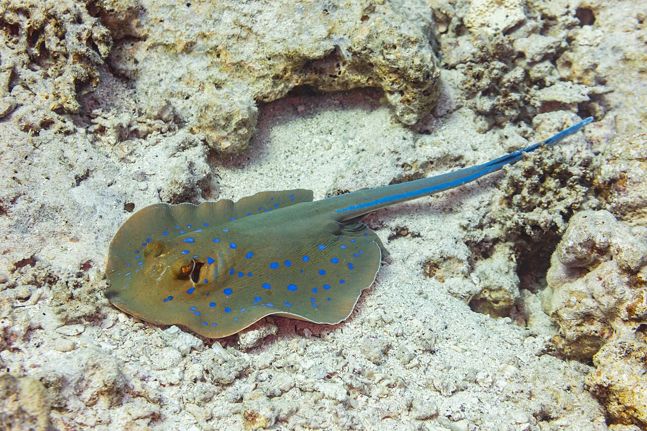
Blue-Spotted Ribbontail Ray
Également observé à proximité
Les espèces « cartographiées ici » ont été répertoriées par nos éditeurs à partir des sources indiquées sur cette page. Les comptages correspondent aux occurrences GBIF : observations enregistrées dans un rayon d'environ 5 km autour de la position cartographiée depuis 1990, comparées uniquement aux espèces de notre catalogue. Ils indiquent ce qui a été observé à cet endroit, sans garantir ce que vous y verrez.
Pour les photographes
Grand angle: ★★★★☆ · Macro: ★★☆☆☆ (note 1–5 des éditeurs sur ce que ce site offre à chaque style de prise de vue)