Ontdek waar je kunt duiken, wanneer je moet gaan en wat je zou kunnen zien.

Ontdek waar je kunt duiken, wanneer je moet gaan en wat je zou kunnen zien.
★
Menu
Bestemmingen Duiklocaties Zeeleven Wrakken Nieuws
Plan een reis Reisplanner Wanneer duiken Kostencalculator Vergelijkingen Zeeleven-kalender Watertemperatuur Liveaboards Operators & resorts Mariene parken Hyperbare kamers Wereldkaart
Grotduiken Alle grotduiken Bestemmingen & duiklocaties Grottenstelsels en kaarten Training & Kwalificaties Duikcentra & gidsen Uitrusting & technologie Veiligheid & incidentonderzoek Wetenschap, geschiedenis & natuurbehoud Bronnen & updates
Regio's Australië, Nieuw-Zeeland & Oost-AziëCaribisch gebied & westelijke Atlantische OceaanEuropa, Atlantische Oceaan & Middellandse ZeeIndische Oceaan & Oost-AfrikaPacifische eilanden & MicronesiëRode Zee & Midden-OostenZuidoost-Azië & Coral TriangleDe Amerika's & Oost-Stille Oceaan Landen
Leren & Tools Alle gidsen Brevetten Uitrustingsgidsen Video's Vraag de data AI-agents API
Over Over ons Methodologie Disclaimer Contact
Jouw weergave
★ Opgeslagen

Je favoriete bestemmingen, duikplekken en soorten, opgeslagen in deze browser.

API GATEWAY

Gratis alleen-lezen JSON-toegang tot de gecachede data van de atlas.

Donkere modus

Begeleide weergave
Nieuw met duiken? Dieptes, stromingen, brevetniveaus? We leggen elke term uit terwijl je bladert, in gewone taal. Dezelfde gegevens, met ingebouwde uitleg.

Expertweergave
Je kent het verschil tussen een wall en een drift dive al. Alleen de data: overzichtelijk, snel en compact. Dit is de standaardweergave.

Interfacetaal
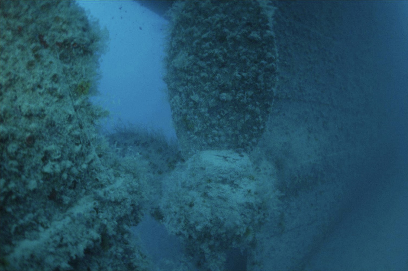
Detail of the screw of the Rosalie Moller.

Rosalie Moller

Wreck 20–50 m Advanced Hurghada & El Gouna, Egypt
Foto: RoyalAce · CC BY-SA 4.0
Goed gedocumenteerd
Diepte
20–50 m / 66–164 ft
Typische diepte
35 m / 115 ft
Zicht
10–25 m / 33–82 ft
Water
21–29 °C / 70–84 °F
Stroming
Moderate
Toegang
Boat
Beste maanden
May, Jun, Jul, Sep, Oct
Aanbevolen brevetten
Advanced Open Water with deep training; well suited to technical diving
Typische duik
~40 min

De diepte is de range van de bovenkant van de site tot het gebruikelijke maximum; "aanbevolen brevet" is het niveau dat operators doorgaans vragen volgens de grote opleidingsorganisaties, geen wettelijke verplichting. Stromingen en zicht veranderen dagelijks, dus beschouw alles hier als planningsranges.

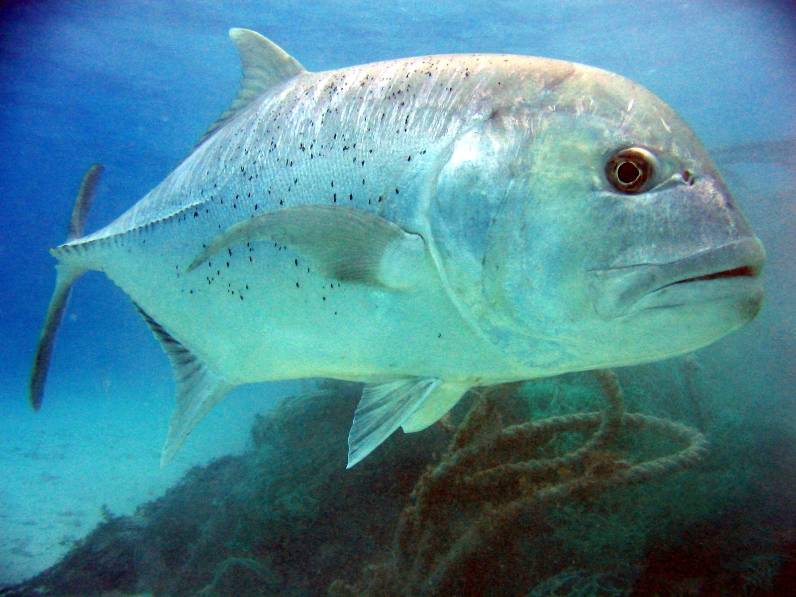
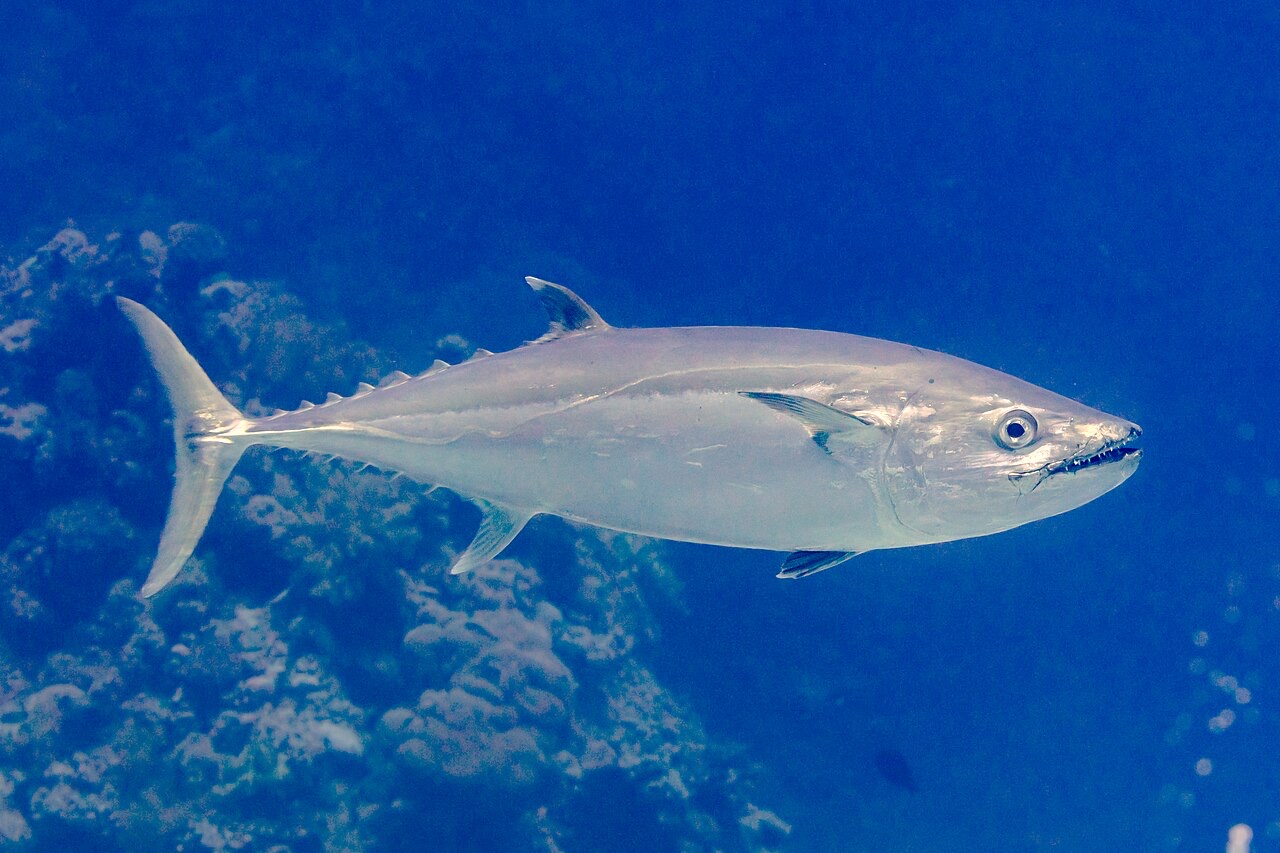
Two nights after the Thistlegorm was bombed, the same air campaign found the Rosalie Moller waiting at anchor near Gubal Island with a cargo of Welsh coal, and put her on the bottom on 8 October 1941; two of her crew died. She sits upright in darker, greener water than her famous contemporary, deck around 35 meters, masts reaching up toward 20, and the depth has protected her: railings, winches, ladders, and lamps survive in a completeness the shallower wrecks lost long ago. Glassfish stream through the accommodation, big trevally and the odd tuna hunt the edges of visibility, and the atmosphere - quiet, dim, heavy with intact detail - stays with people. This is a serious dive with a short bottom time; nitrox or trimix turns it from a glimpse into a visit.

Het moment waar je voor komt: Intact deck furniture and fittings; the atmospheric gloom of a deep upright freighter; hunting trevally along the hull.

Topografie: Upright coal freighter on mud and sand at about 50 meters, deck in the mid-30s

Stroming: Tide runs along the hull and the descent is a committed one - hand-over-hand on the line is normal.

Instap: In the lee of Gubal Island; dived from liveaboards and long-range day boats on fixed lines, usually as the first dive of the day.

Deze site is een gekarteerd wrak Rosalie Moller, British steam collier, gezonken 1941. Volledige wrakgeschiedenis en duikgids →

Weet dit voordat je het water in gaat

Gevaren: Depth and short no-deco windows; current on the lines; low ambient light; penetration is for trained teams only.

Behoud: Her completeness is the point - a wartime loss with lives taken, protected by depth. Leave every fitting in place.

Nitrox: Hier de moeite waard: profielen liggen in het bereik waar nitrox de no-stop-tijd zinvol verlengt (met de juiste training om het te gebruiken).

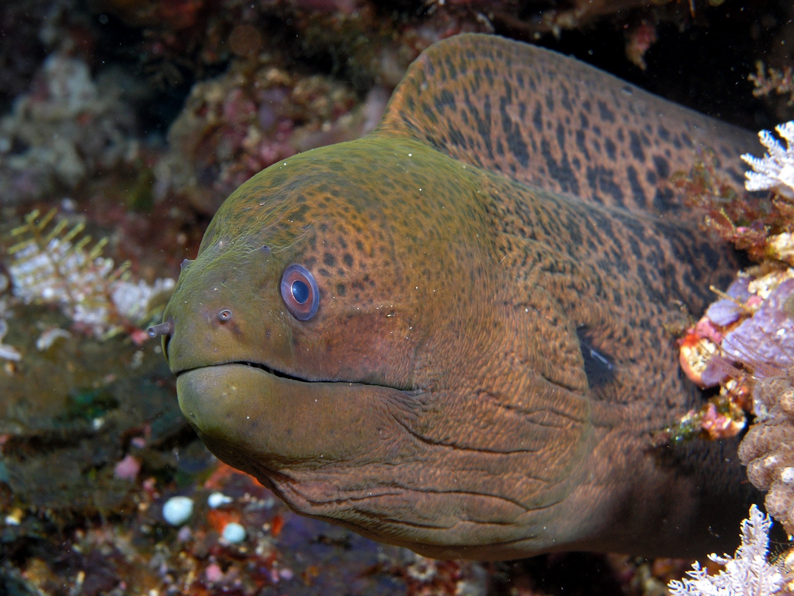
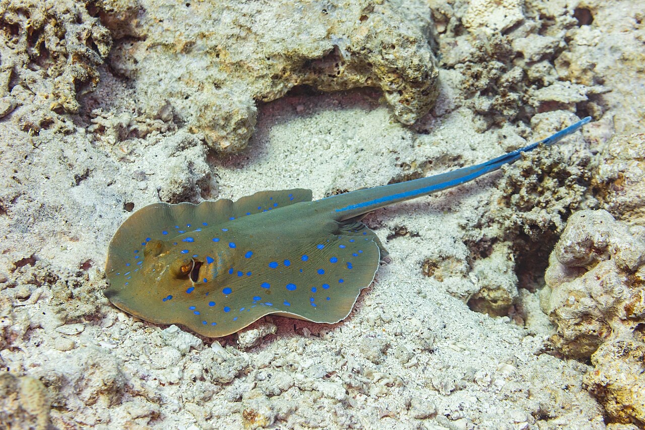
Wie je tegenkomt

Ook in de buurt waargenomen

"Hier in kaart gebracht" soorten zijn door onze redacteurs toegevoegd op basis van de bronnen op deze pagina. Aantallen zijn GBIF-waarnemingsrecords: observaties vastgelegd binnen ongeveer 5 km van de aangegeven positie sinds 1990, uitsluitend vergeleken met de soorten in onze catalogus. Ze laten zien wat er is waargenomen, niet wat je zeker zult zien.

Voor fotografen

Groothoek: ★★★★☆ · Macro: ★★☆☆☆ (redacteursbeoordeling 1–5 van wat deze locatie biedt voor elke fotostijl)

Australië, Nieuw-Zeeland & Oost-Azië

Cairns & the Ribbon ReefsNingaloo ReefCoral Sea & Osprey ReefOkinawa & the Kerama IslandsPoor Knights IslandsTownsville & the YongalaGreen IslandIzu Peninsula

Caribisch gebied & westelijke Atlantische Oceaan

BonaireCozumelRiviera Maya & the CenotesBelize Barrier ReefGrand CaymanIsla Mujeres & CancúnRoatánTiger Beach & Grand Bahama

Europa, Atlantische Oceaan & Middellandse Zee

Malta & GozoSilfra & IcelandThe AzoresCanary IslandsLarnaca & the ZenobiaScapa FlowArctic NorwayMadeira

Indische Oceaan & Oost-Afrika

North & South Malé AtollsAri AtollBaa Atoll & Hanifaru BayAliwal Shoal & UmkomaasMafia IslandMauritiusSeychellesSodwana Bay

Pacifische eilanden & Micronesië

PalauChuuk (Truk) LagoonFakaravaKona, HawaiʻiRangiroaTaveuni & Rainbow ReefBeqa Lagoon & Pacific HarbourEspiritu Santo

Rode Zee & Midden-Oosten

Sharm El Sheikh & Ras MohammedBrothers, Daedalus & St John'sDahabHurghada & El GounaMarsa Alam & the Deep SouthAqabaDaymaniyat IslandsMusandam Peninsula

Zuidoost-Azië & Coral Triangle

Bali & Nusa PenidaKomodoRaja AmpatSipadan & MabulAnilaoCoronKoh TaoLembeh Strait

De Amerika's & Oost-Stille Oceaan

Galápagos IslandsCocos IslandFlorida KeysSea of Cortez & Cabo PulmoSocorro & the RevillagigedosBritish ColumbiaCalifornia Channel IslandsCosta Rica Pacific Coast