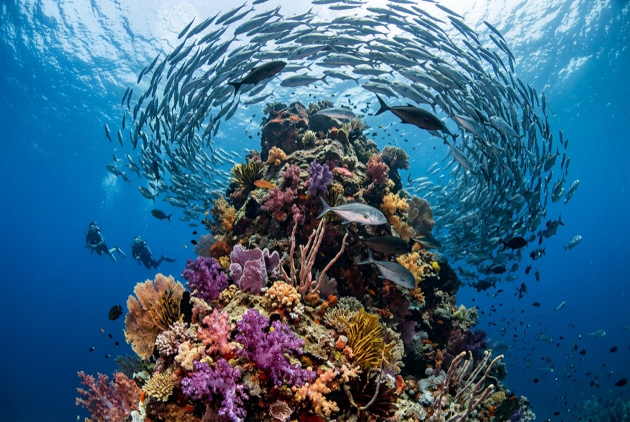
Koh Tachai Pinnacle
La profondeur correspond à la plage allant du sommet du site jusqu'à son maximum habituel ; le « niveau recommandé » est le niveau demandé en général par les opérateurs auprès des grandes agences, pas une règle légale. Les courants et la visibilité varient chaque jour, traitez donc tout cela comme des plages indicatives de planification.
South of Koh Tachai island, a granite dome crests around 12 m and takes the full force of the Andaman's tidal exchange, which is precisely why everything gathers there. Trevally spiral in dense chimneys, barracuda hold formation up-current, batfish wander the terraces, and both mantas and whale sharks transit often enough to keep every diver glancing at the blue. The diving is work: pull down the line, tuck behind granite, move in the lulls. The island's famous beach has been closed to tourism since 2016 for recovery, but this offshore pinnacle remains on liveaboard schedules, conditions permitting.
Le moment pour lequel vous venez: Trevally tornadoes in ripping flow, manta and whale-shark transits, big-current craft
Topographie: Submerged granite dome with boulder terraces
Courant: Among Thailand's strongest-current sites; some slots are simply undiveable and crews wait for the tide.
Entrée: Descents run down a fixed line to the dome; in strong flow, crews stage negative entries and shorten the plan.
À savoir avant de plonger
Dangers: Severe current, down-eddies off the dome's flanks, and blue-water ascents; SMB and line discipline are mandatory.
Conservation: Koh Tachai's land closure is a park recovery measure; the pinnacle stays open under standard park rules.
Nitrox: Pertinent ici : les profils se situent dans la plage où le nitrox prolonge significativement le temps sans palier (avec la formation pour l'utiliser).
Qui vous croiserez
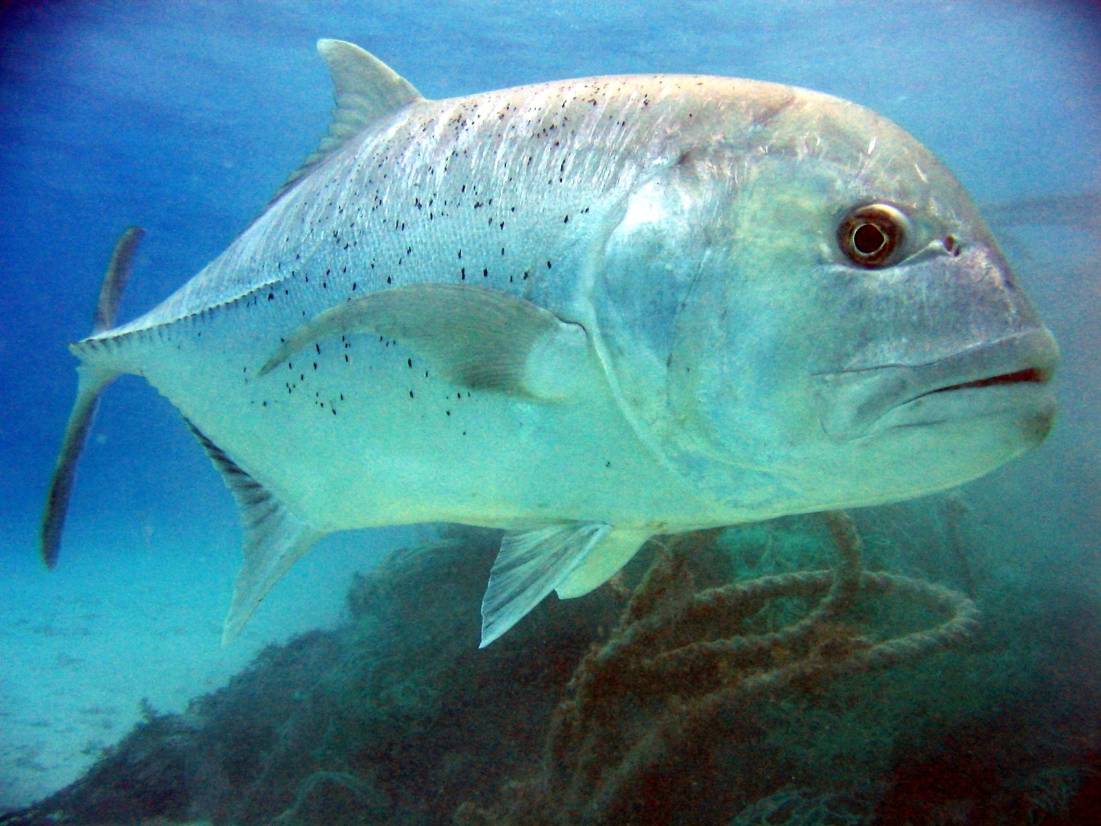
Giant Trevally

Great Barracuda
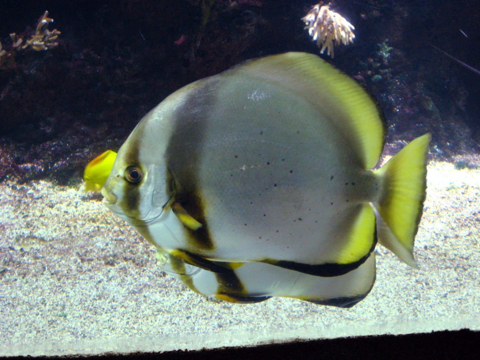
Pinnate Batfish
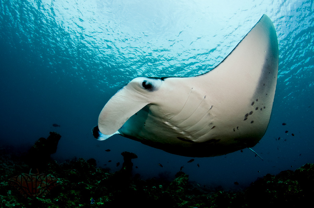
Reef Manta Ray
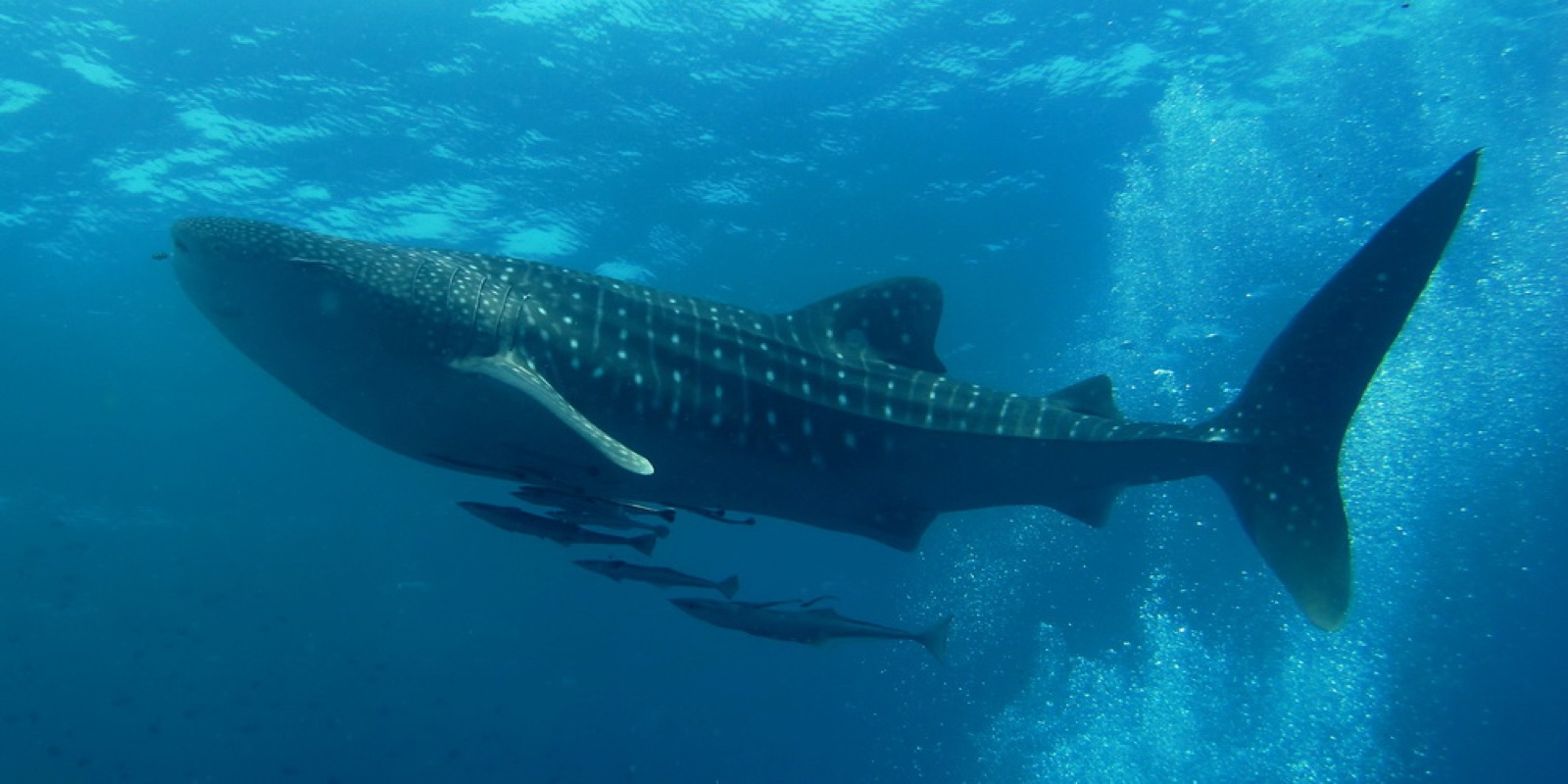
Whale Shark
Les espèces « cartographiées ici » ont été répertoriées par nos éditeurs à partir des sources indiquées sur cette page. Les comptages correspondent aux occurrences GBIF : observations enregistrées dans un rayon d'environ 5 km autour de la position cartographiée depuis 1990, comparées uniquement aux espèces de notre catalogue. Ils indiquent ce qui a été observé à cet endroit, sans garantir ce que vous y verrez.
Pour les photographes
Grand angle: ★★★★★ · Macro: ★☆☆☆☆ (note 1–5 des éditeurs sur ce que ce site offre à chaque style de prise de vue)