Shark Fin Reef
La profondeur correspond à la plage allant du sommet du site jusqu'à son maximum habituel ; le « niveau recommandé » est le niveau demandé en général par les opérateurs auprès des grandes agences, pas une règle légale. Les courants et la visibilité varient chaque jour, traitez donc tout cela comme des plages indicatives de planification.
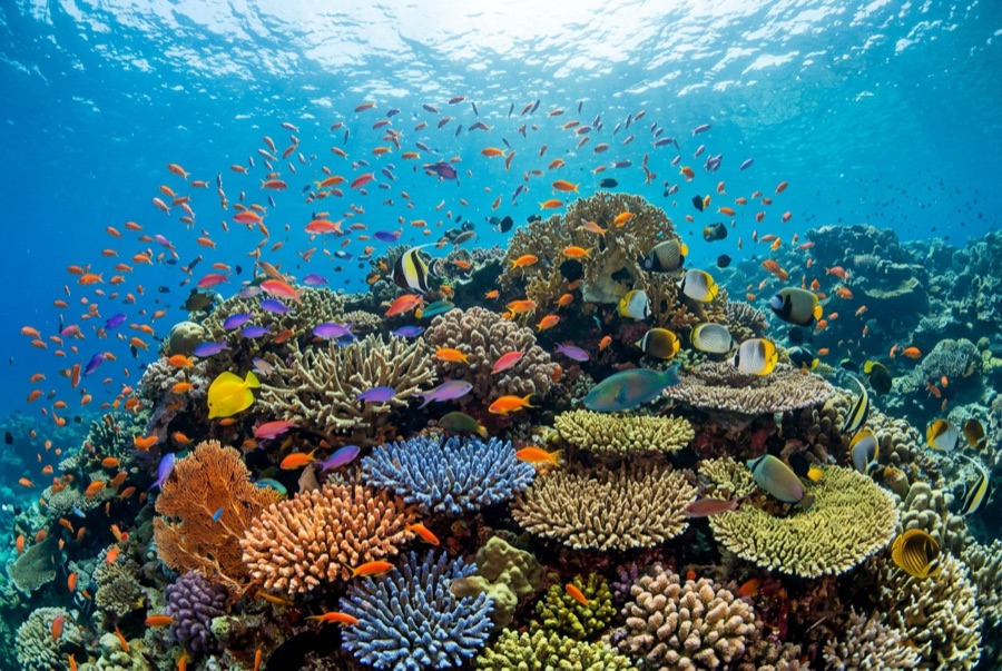
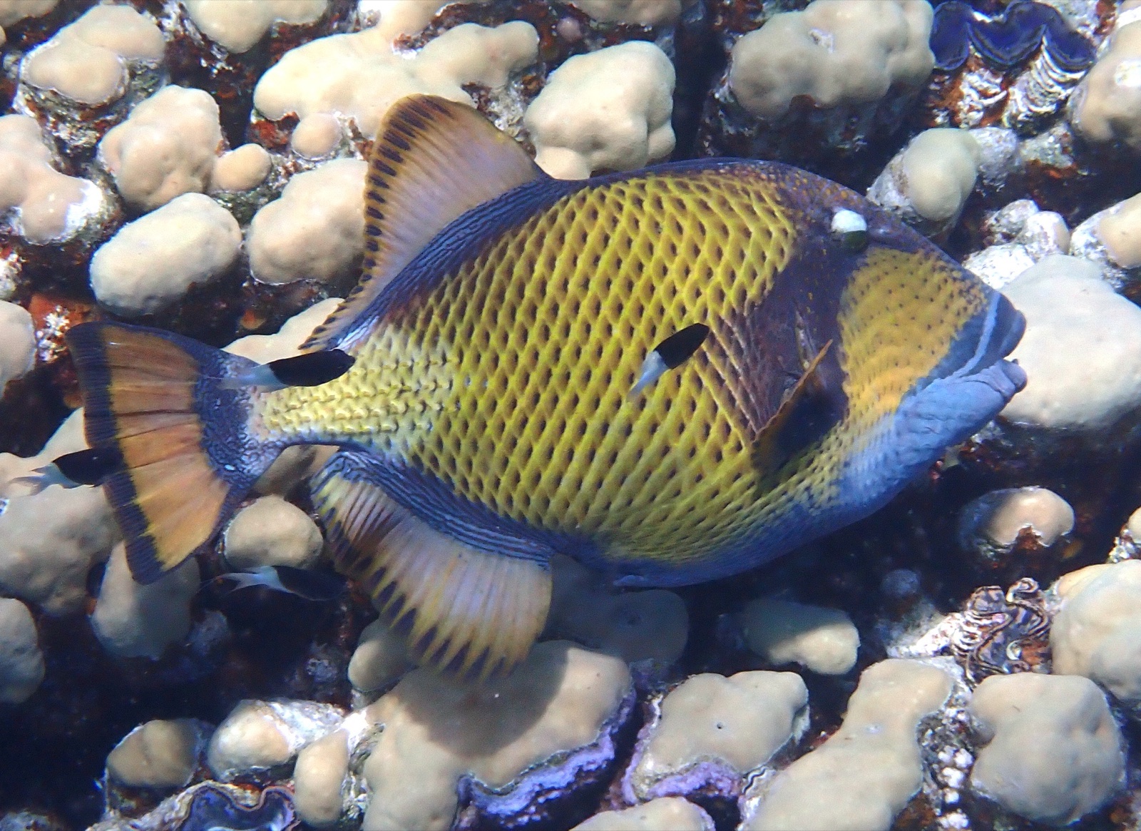
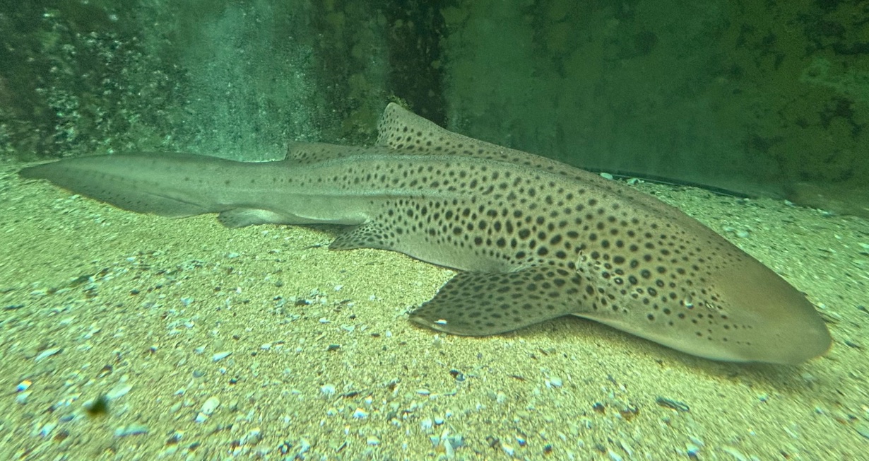
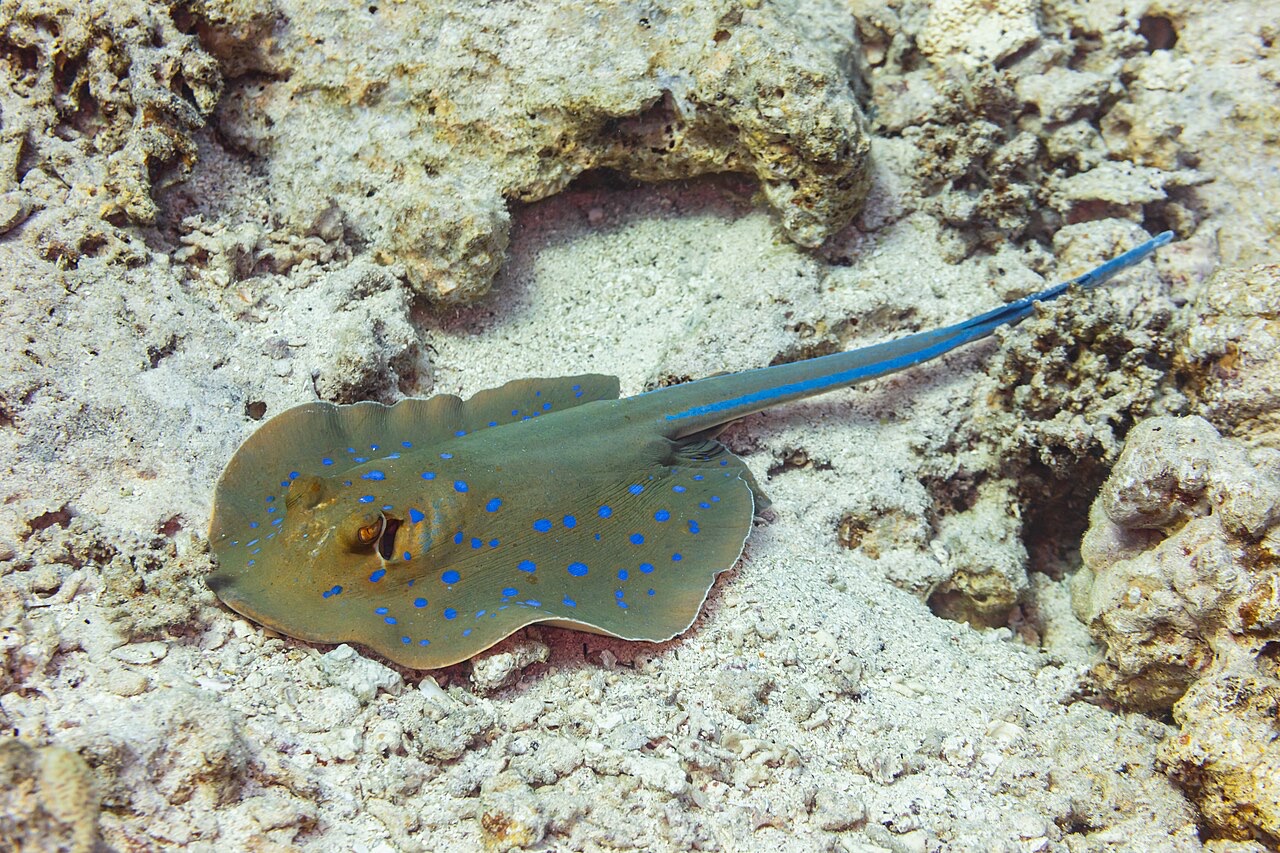
Shark Fin Reef runs like a half-submerged spine, its exposed crest suggesting the fin that named it, with two long faces of tilted granite slab sliding into sand past 30 m. The eastern side stacks hard-coral gardens and sweeping slab scenery; the west goes steeper and moodier. Blue-spotted ribbontail rays shuffle under ledges, garden eels stipple the deep sand, titan triggerfish excavate with their usual self-importance, and this southern corner remains one of the archipelago's better bets for a zebra shark flat out on the bottom. An unflashy, spacious dive that shows the Similans' scale without demanding anything exotic in return.
Le moment pour lequel vous venez: Kilometer-scale granite spine, rays and garden eels on the sand, southern-sector calm
Topographie: Tilted granite slabs and coral gardens dropping to sand
Courant: Flow runs the length of the ridge and the dive becomes a one-way drift along whichever face is in the lee.
Entrée: A long granite ridge southeast of island 3, its crest breaking the surface; often the first dive of northbound itineraries.
À savoir avant de plonger
Dangers: Length of the ridge can string groups out in current; agree on the drift plan before rolling.
Conservation: Park rules apply; give nesting titan triggerfish their cone of territory in the warm months.
Nitrox: Pertinent ici : les profils se situent dans la plage où le nitrox prolonge significativement le temps sans palier (avec la formation pour l'utiliser).
Qui vous croiserez
Titan Triggerfish
Leopard (Zebra) Shark
Blue-Spotted Ribbontail Ray
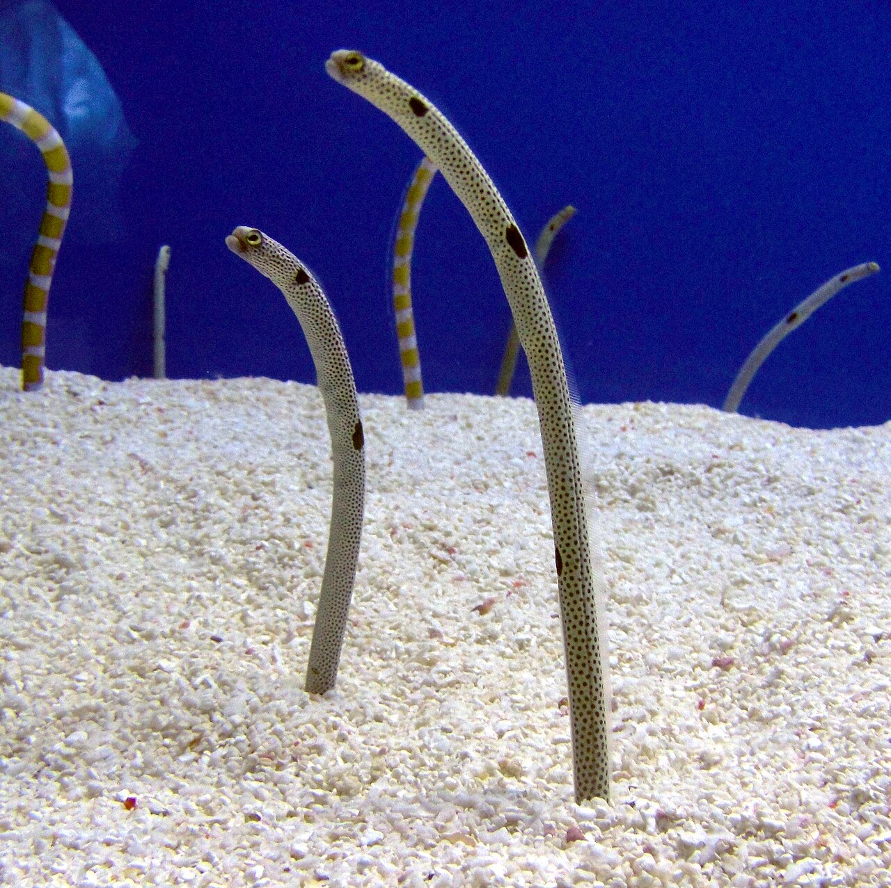
Garden Eel
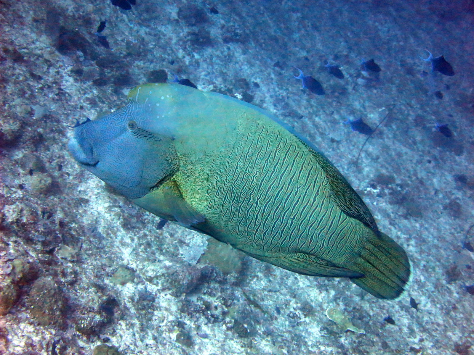
Napoleon (Humphead) Wrasse

Nudibranchs

Clownfish & Anemonefish
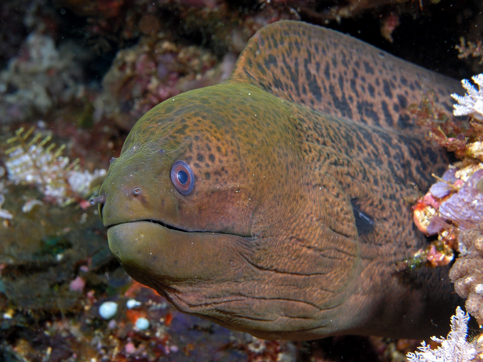
Giant Moray Eel
Également observé à proximité
Les espèces « cartographiées ici » ont été répertoriées par nos éditeurs à partir des sources indiquées sur cette page. Les comptages correspondent aux occurrences GBIF : observations enregistrées dans un rayon d'environ 5 km autour de la position cartographiée depuis 1990, comparées uniquement aux espèces de notre catalogue. Ils indiquent ce qui a été observé à cet endroit, sans garantir ce que vous y verrez.
Pour les photographes
Grand angle: ★★★★☆ · Macro: ★★☆☆☆ (note 1–5 des éditeurs sur ce que ce site offre à chaque style de prise de vue)