다이브 사이트, 시즌, 해양 생물 — 조사하고, 지도에 표시하고, 계획했습니다.
메뉴
목적지 다이브 사이트 해양 생물 난파선 뉴스
여행 계획하기 트립 플래너 다이빙 시기 비용 계산기 비교 해양 생물 캘린더 수온 리브어보드 운영업체 & 리조트 해양공원 고압산소치료 챔버 세계 지도
지역 호주, 뉴질랜드 & 동아시아카리브해 & 서대서양유럽, 대서양 & 지중해인도양 및 동아프리카태평양 제도 & 미크로네시아홍해 & 중동동남아시아 & 코랄 트라이앵글아메리카 & 동태평양 국가
학습 & 도구 전체 가이드 자격증 장비 가이드 영상 데이터에게 묻기 AI 에이전트 API
소개 소개 방법론 면책 조항 문의
내 보기
★ 저장됨

즐겨찾기한 목적지, 다이브 사이트, 생물종 — 이 브라우저에 저장됩니다.

API 게이트웨이

아틀라스의 캐시 데이터에 대한 무료 읽기 전용 JSON 접근.

다크 모드

🧭 가이드 보기
다이빙이 처음이라면 — 수심, 조류, 자격증 레벨이 낯설 수 있습니다. 브라우징하는 동안 모든 용어를 쉽게 설명해 드립니다. 동일한 데이터를, 도움말과 함께 확인하세요.

⚡ 전문가 보기
월 다이빙과 드리프트 다이빙의 차이는 이미 아시죠. 데이터만 — 깔끔하고 빠르게, 간결하게. 기본 보기입니다.

인터페이스 언어
Molokini Inner Crater — illustrative image

Molokini Inner Crater

Reef 3–25 m Beginner Maui & Molokini, United States
AI 생성 일러스트레이션
충분히 검증됨
수심
3–25 m / 10–82 ft
일반적인 수심
12 m / 39 ft
시야
25–45 m / 82–148 ft
수온
23–27 °C / 73–81 °F
조류
Mild
접근성
Boat
권장 자격증
Open Water
일반적인 다이빙
~50 min

수심은 사이트 상단부터 통상적인 최대 수심까지의 범위이며, '권장 자격증'은 업체에서 통상적으로 요구하는 주요 인증 기관 기준이지 법적 규정이 아닙니다. 조류와 시야는 매일 달라지므로, 모든 정보는 계획 수립용 참고 범위로 활용하세요.

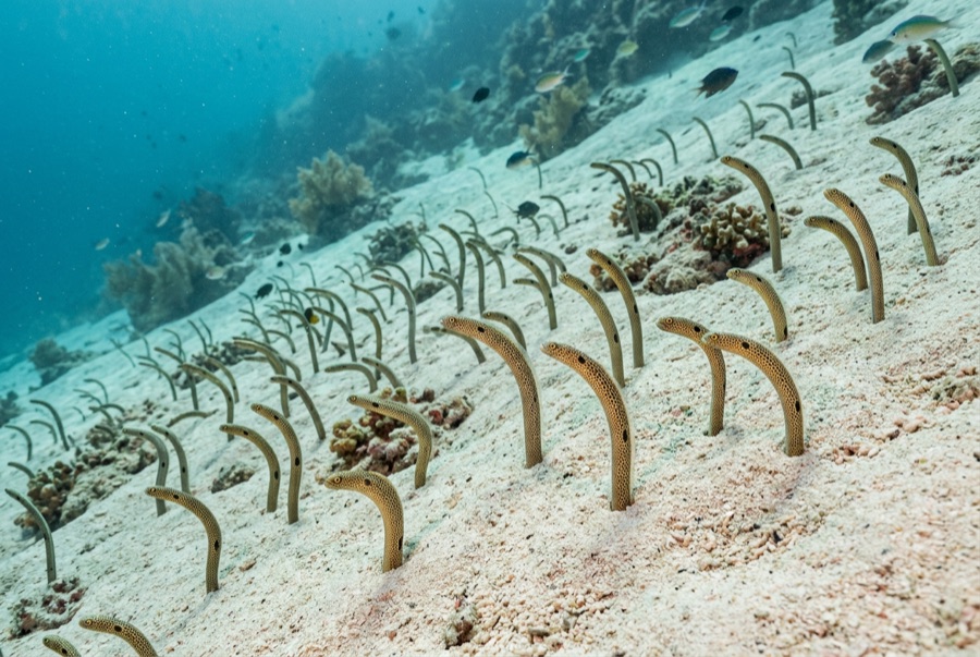
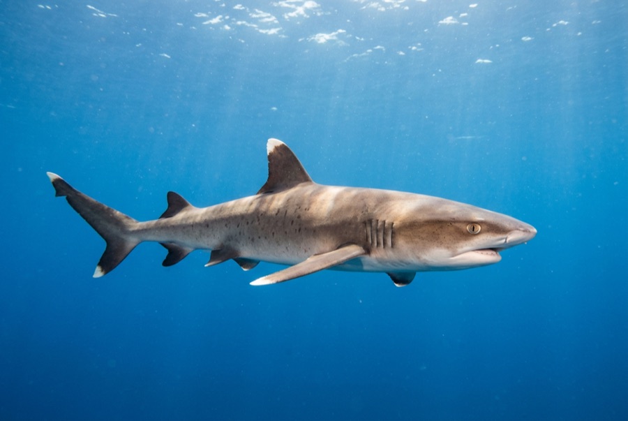
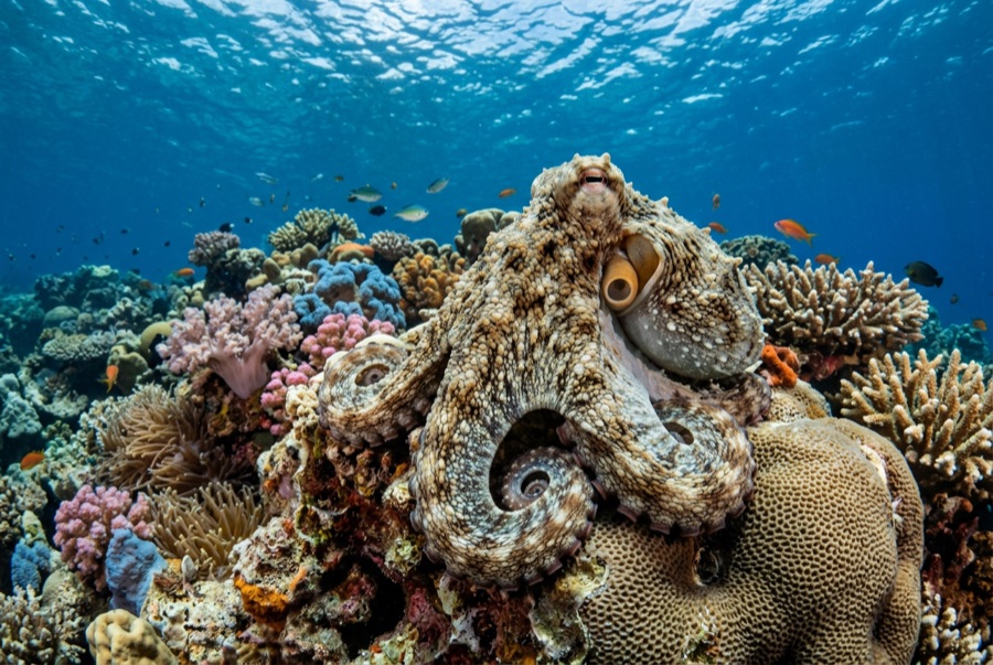
Inside Molokini's crescent the Pacific behaves like a swimming pool with a wilderness in it. The drowned crater wall blocks swell, the bottom is visible from the boat before you gear up, and the reef slope hosts the standard Hawaiian cast at its most watchable: yellow tang shoals, endemic butterflyfish, garden eels swaying on the sand, whitetip reef sharks parked under ledges, octopus in the rubble for guides who know the dens. Depth is whatever you choose down to about 25 m. The morning fleet above is part of the deal — descend and the crowd dissolves into blue quiet within meters.

바로 그 순간: Routine 30-meter-plus visibility; endemic-rich, easygoing reef; conditions that flatter new divers and relax old ones.

지형: A protected reef bowl inside the crater rim — coral slopes, rubble flats, and sand channels

진입: Permitted boats moor inside the crescent on day-use buoys; dives run early before wind and snorkel traffic build.

입수 전에 알아두세요

위험 요소: Heavy snorkel-boat traffic overhead by mid-morning — ascend on the mooring; wind chop builds toward midday.

허가증 & 규정: Commercial vessels operate under permit; no landing on the islet.

보존: A no-take Marine Life Conservation District since 1977 — moorings only, nothing touched, and the seabird islet above is strictly off-limits.

만날 수 있는 생물
수중 촬영자를 위한 정보

광각: ★★★★☆ · 마크로: ★★☆☆☆ — 각 촬영 스타일에 대한 에디터의 1–5점 평가

호주, 뉴질랜드 & 동아시아

Cairns & the Ribbon ReefsNingaloo ReefCoral Sea & Osprey ReefOkinawa & the Kerama IslandsPoor Knights IslandsTownsville & the YongalaGreen IslandIzu Peninsula

카리브해 & 서대서양

BonaireCozumelRiviera Maya & the CenotesBelize Barrier ReefGrand CaymanIsla Mujeres & CancúnRoatánTiger Beach & Grand Bahama

유럽, 대서양 & 지중해

Malta & GozoSilfra & IcelandThe AzoresCanary IslandsLarnaca & the ZenobiaScapa FlowArctic NorwayMadeira

인도양 및 동아프리카

North & South Malé AtollsAri AtollBaa Atoll & Hanifaru BayAliwal Shoal & UmkomaasMafia IslandMauritiusSeychellesSodwana Bay

태평양 제도 & 미크로네시아

PalauChuuk (Truk) LagoonFakaravaKona, HawaiʻiRangiroaTaveuni & Rainbow ReefBeqa Lagoon & Pacific HarbourEspiritu Santo

홍해 & 중동

Sharm El Sheikh & Ras MohammedBrothers, Daedalus & St John'sDahabHurghada & El GounaMarsa Alam & the Deep SouthAqabaDaymaniyat IslandsMusandam Peninsula

동남아시아 & 코랄 트라이앵글

Bali & Nusa PenidaKomodoRaja AmpatSipadan & MabulAnilaoCoronKoh TaoLembeh Strait

아메리카 & 동태평양

Galápagos IslandsCocos IslandFlorida KeysSea of Cortez & Cabo PulmoSocorro & the RevillagigedosBritish ColumbiaCalifornia Channel IslandsCosta Rica Pacific Coast