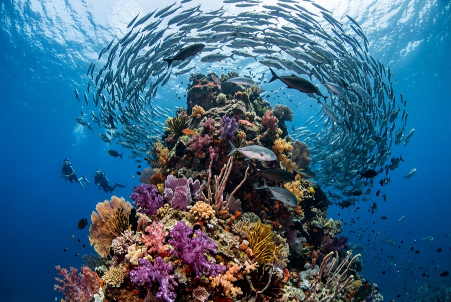
Lima Rock
La profondità indica l'intervallo dalla sommità del sito al suo massimo abituale; il "brevetto consigliato" è il livello richiesto dalla maggior parte degli operatori delle principali agenzie, non una norma di legge. Correnti e visibilità cambiano ogni giorno, quindi considera tutto come intervalli di pianificazione.
Lima Rock is Musandam's headline act: a sheer-sided islet whose cliffs continue underwater as walls and boulder slopes swept by the Strait of Hormuz's tidal engine. The water is rarely clear and never empty - fusiliers and snapper school in mid-water curtains, jacks strafe the edges, and the plankton haze that limits visibility is exactly what draws mobula rays, which pass in squadrons, and the occasional whale shark in the warm months. Honeycomb morays the width of drainpipes hold the boulder gaps, and eagle rays cruise the deeper sand line. Birds wheel off the cliffs through every surface interval. It is a site where divers learn to trade gin-clear water for biomass, and most decide the trade is good.
Il momento che aspettavi: Mobula squadrons in season; fish schools dense enough to dim the light; dramatic cliff-to-wall topography.
Topografia: Steep boulder-and-wall flanks around a guano-capped limestone islet, shelving to sand
Corrente: Tidal flow accelerates around both ends; guides choose the lee and time the corners.
Entrata: A limestone islet at the mouth of Lima bay, reached by dhow or speedboat from Khasab or Dibba; north and south faces are dived as separate sites.
Sapere prima di tuffarsi
Pericoli: Strong tidal current and eddies at the corners; boat traffic through the strait; variable visibility.
Nitrox: Vale la pena qui: i profili rientrano nell'intervallo in cui l'aria arricchita (nitrox) prolunga in modo significativo il tempo di non-decompressione (con la formazione necessaria per utilizzarla).
Chi incontrerai
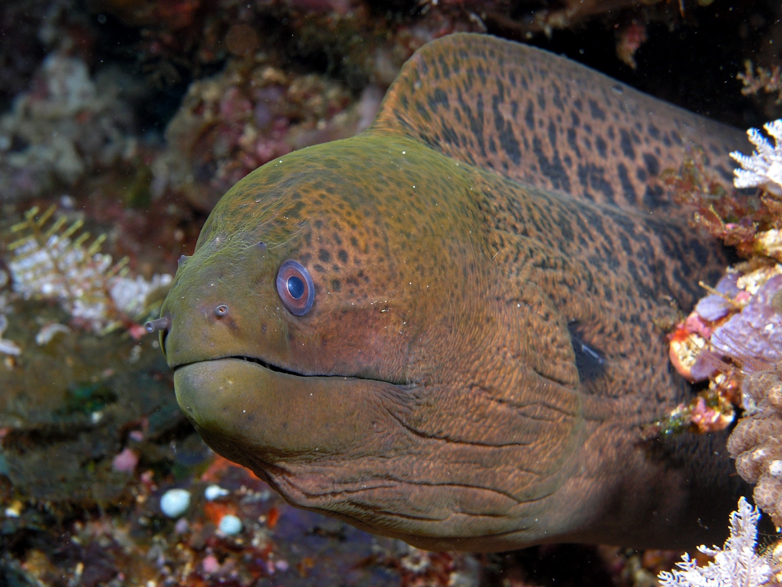
Giant Moray Eel

Great Barracuda
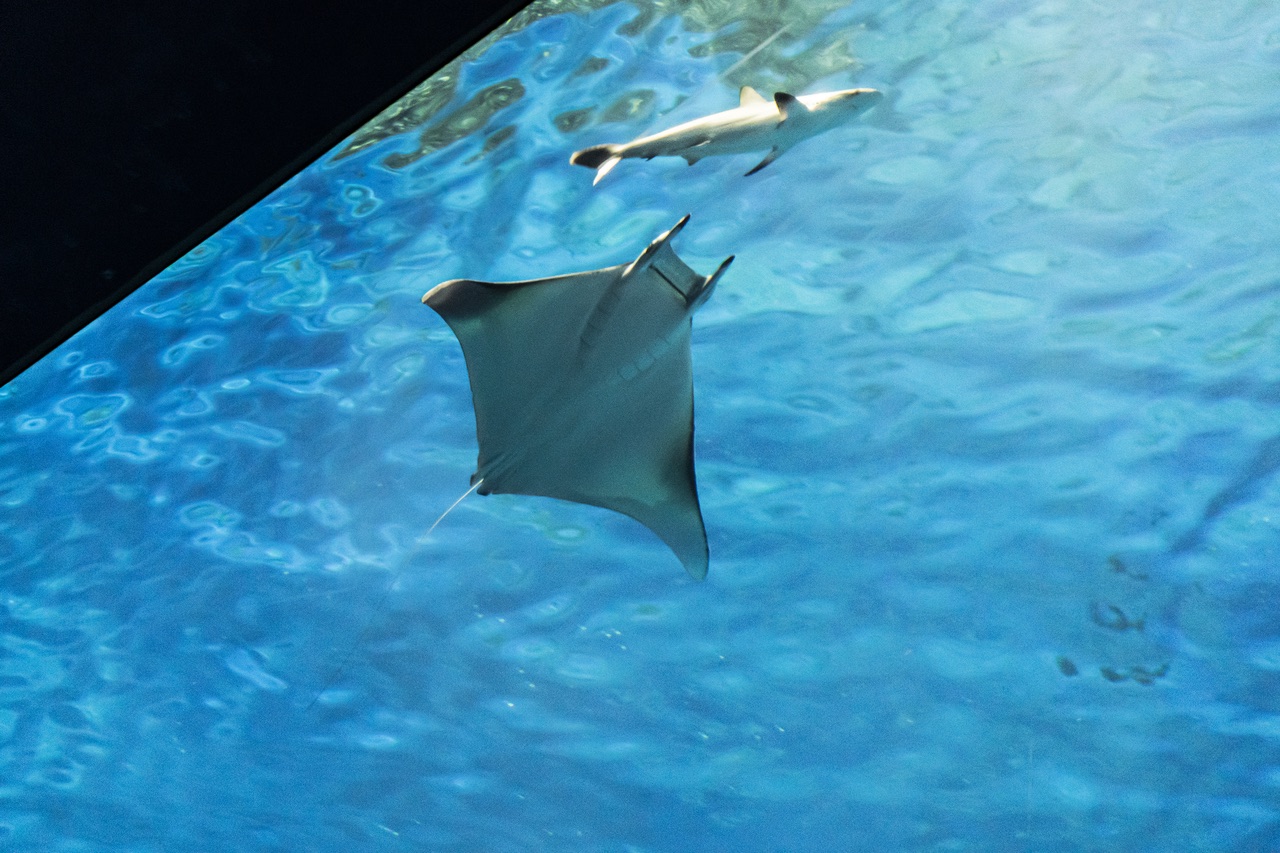
Mobula (Devil) Ray
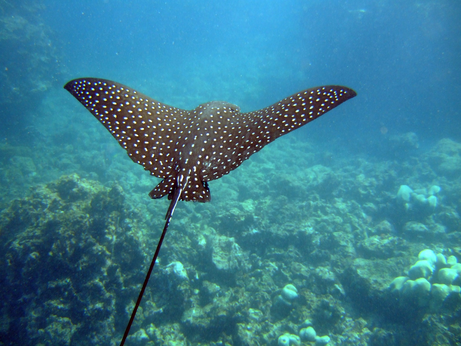
Spotted Eagle Ray
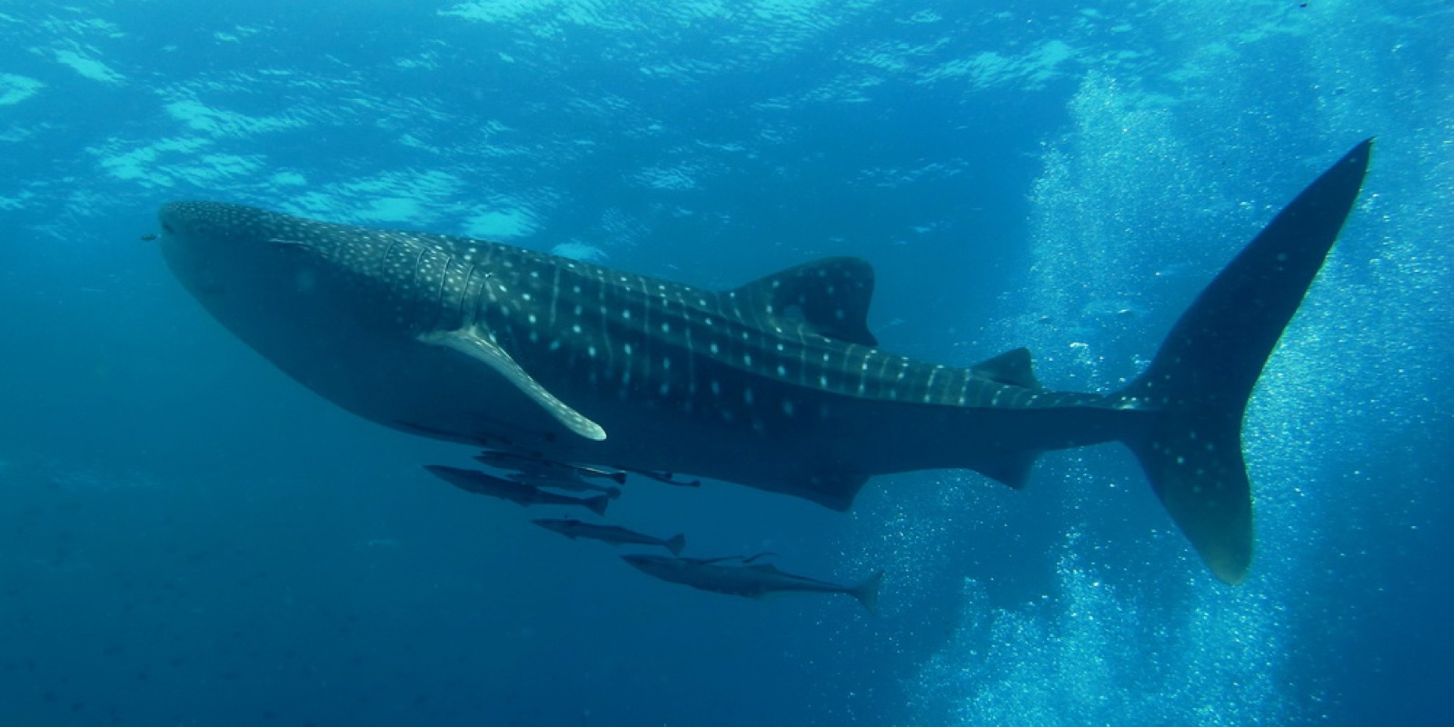
Whale Shark

Nudibranchs

Clownfish & Anemonefish

Lionfish
Registrate anche nelle vicinanze
Le specie "schedate qui" sono state inserite dai nostri redattori a partire dalle fonti indicate in questa pagina. I conteggi sono record di occorrenza GBIF: osservazioni registrate entro circa 5 km dalla posizione indicata in carta a partire dal 1990, confrontate esclusivamente con le specie presenti nel nostro catalogo. Mostrano ciò che è stato avvistato in quel luogo, non una garanzia di ciò che vedrete.
Per i fotografi
Grandangolo: ★★★★☆ · Macro: ★★★☆☆ (valutazione da 1 a 5 dei redattori su ciò che questo sito offre per ogni stile di ripresa)