Lima Rock
水深はサイト上部から通常の最大深度までの範囲です。「推奨資格」は多くのオペレーターが求めるメインストリームエージェンシーのレベルであり、法的な義務ではありません。潮流と透明度は日々変わるため、ここに記載の数値はあくまで計画のための目安としてお使いください。
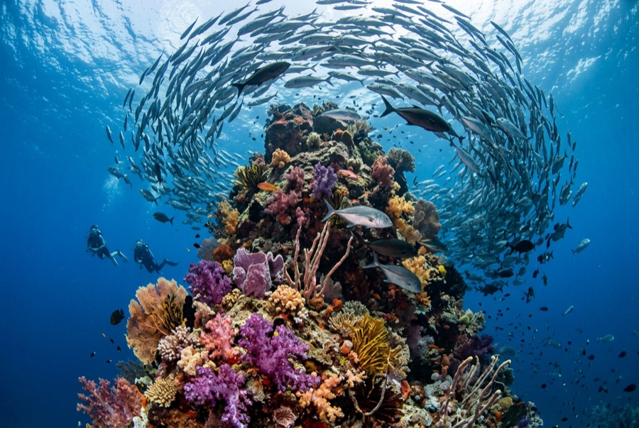
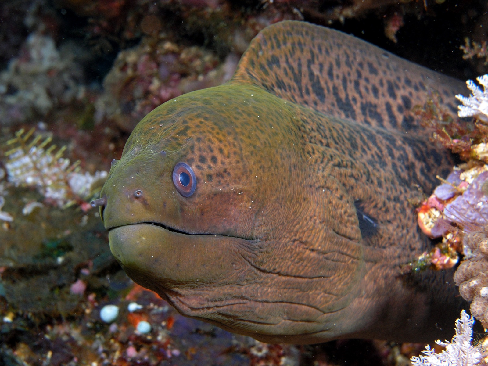
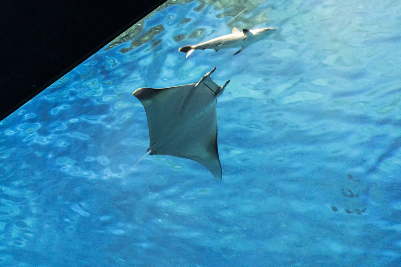
Lima Rock is Musandam's headline act: a sheer-sided islet whose cliffs continue underwater as walls and boulder slopes swept by the Strait of Hormuz's tidal engine. The water is rarely clear and never empty - fusiliers and snapper school in mid-water curtains, jacks strafe the edges, and the plankton haze that limits visibility is exactly what draws mobula rays, which pass in squadrons, and the occasional whale shark in the warm months. Honeycomb morays the width of drainpipes hold the boulder gaps, and eagle rays cruise the deeper sand line. Birds wheel off the cliffs through every surface interval. It is a site where divers learn to trade gin-clear water for biomass, and most decide the trade is good.
その瞬間のために: Mobula squadrons in season; fish schools dense enough to dim the light; dramatic cliff-to-wall topography.
地形: Steep boulder-and-wall flanks around a guano-capped limestone islet, shelving to sand
流れ(カレント): Tidal flow accelerates around both ends; guides choose the lee and time the corners.
エントリー: A limestone islet at the mouth of Lima bay, reached by dhow or speedboat from Khasab or Dibba; north and south faces are dived as separate sites.
エントリー前に知っておこう
危険生物・リスク: Strong tidal current and eddies at the corners; boat traffic through the strait; variable visibility.
ナイトロックス: ここでは価値があります。エンリッチドエア(ナイトロックス)が無減圧潜水時間を有意に延ばせる範囲にあるスポットです(利用にはトレーニングが必要です)。
出会える生物
Giant Moray Eel
Great Barracuda
Mobula (Devil) Ray
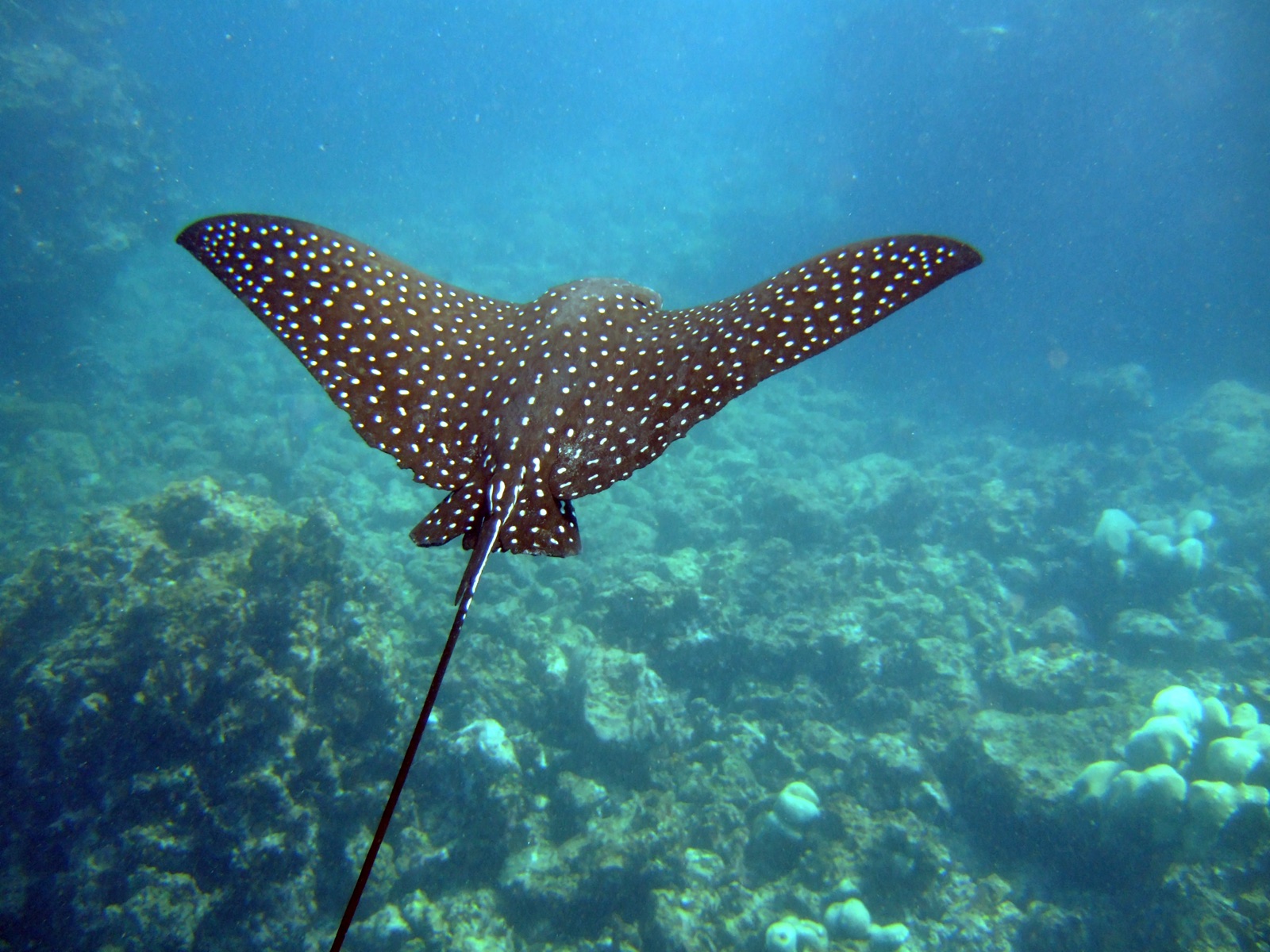
Spotted Eagle Ray
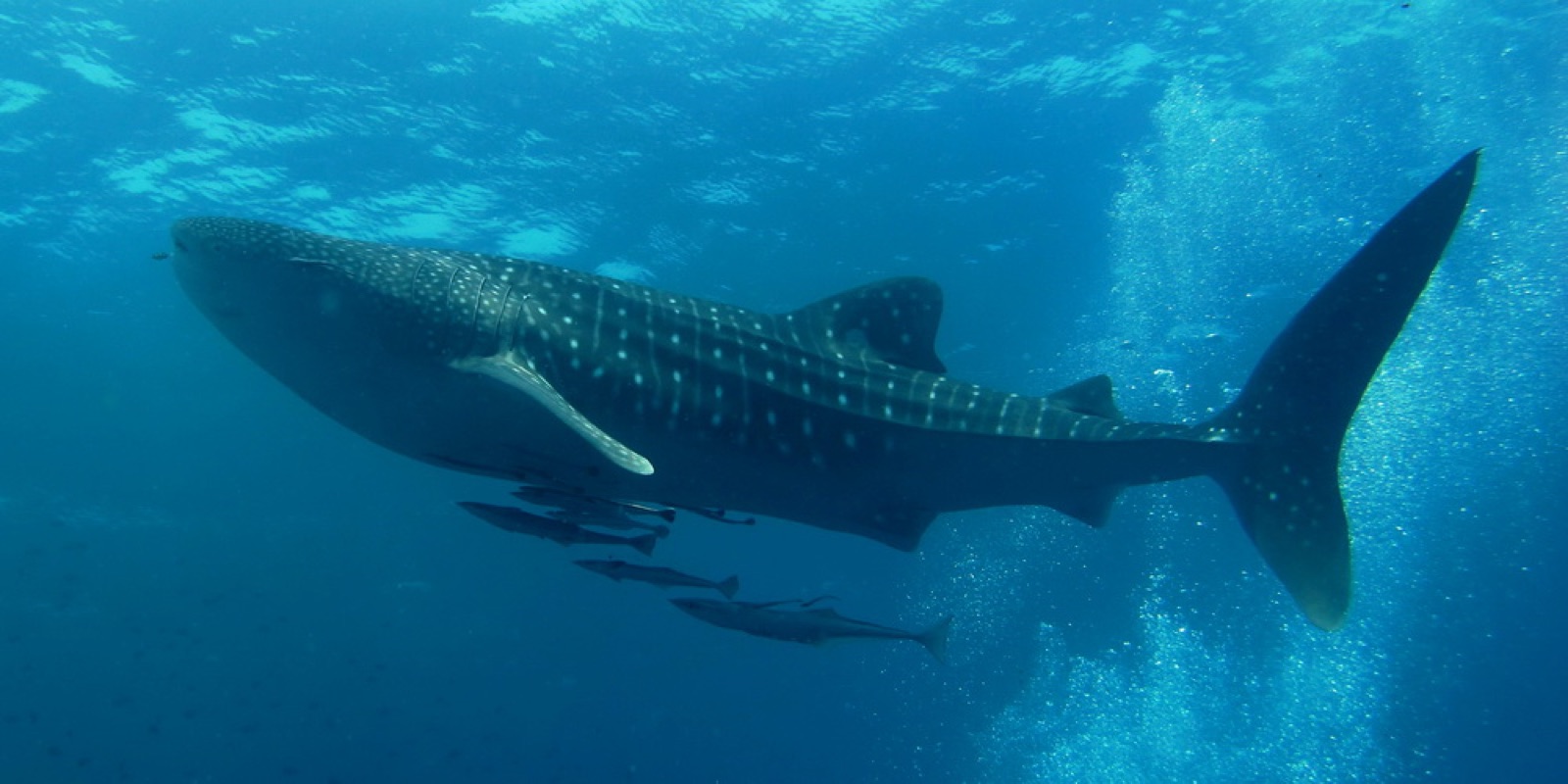
Whale Shark

Nudibranchs

Clownfish & Anemonefish

Lionfish
周辺でも記録あり
「ここに記載」の生物種は、このページの情報源をもとに編集部が登録したものです。件数はGBIFの出現記録数で、1990年以降に登録地点から約5km以内で記録された観察データのうち、当サイトのカタログ掲載種に一致したものです。そこで実際に目撃された記録であり、潜水時の遭遇を保証するものではありません。
水中フォトグラファー向け
ワイドアングル: ★★★★☆ · マクロ: ★★★☆☆ (各撮影スタイルに対するこのサイトの評価(編集部による1〜5点))