다이브 사이트, 시즌, 해양 생물 — 조사하고, 지도에 표시하고, 계획했습니다.
메뉴
목적지 다이브 사이트 해양 생물 난파선 뉴스
여행 계획하기 트립 플래너 다이빙 시기 비용 계산기 비교 해양 생물 캘린더 수온 리브어보드 운영업체 & 리조트 해양공원 고압산소치료 챔버 세계 지도
지역 호주, 뉴질랜드 & 동아시아카리브해 & 서대서양유럽, 대서양 & 지중해인도양 및 동아프리카태평양 제도 & 미크로네시아홍해 & 중동동남아시아 & 코랄 트라이앵글아메리카 & 동태평양 국가
학습 & 도구 전체 가이드 자격증 장비 가이드 영상 데이터에게 묻기 AI 에이전트 API
소개 소개 방법론 면책 조항 문의
내 보기
★ 저장됨

즐겨찾기한 목적지, 다이브 사이트, 생물종 — 이 브라우저에 저장됩니다.

API 게이트웨이

아틀라스의 캐시 데이터에 대한 무료 읽기 전용 JSON 접근.

다크 모드

🧭 가이드 보기
다이빙이 처음이라면 — 수심, 조류, 자격증 레벨이 낯설 수 있습니다. 브라우징하는 동안 모든 용어를 쉽게 설명해 드립니다. 동일한 데이터를, 도움말과 함께 확인하세요.

⚡ 전문가 보기
월 다이빙과 드리프트 다이빙의 차이는 이미 아시죠. 데이터만 — 깔끔하고 빠르게, 간결하게. 기본 보기입니다.

인터페이스 언어
Lima Rock — illustrative image

Lima Rock

Pinnacle · Wall · Drift 5–35 m Intermediate Musandam Peninsula, Oman
AI 생성 일러스트레이션
문서화됨
수심
5–35 m / 16–115 ft
일반적인 수심
20 m / 66 ft
시야
8–20 m / 26–66 ft
수온
22–32 °C / 72–90 °F
조류
Strong
접근성
Boat
최적의 달
Oct–Apr
권장 자격증
Advanced Open Water for the exposed corners
일반적인 다이빙
~45 min

수심은 사이트 상단부터 통상적인 최대 수심까지의 범위이며, '권장 자격증'은 업체에서 통상적으로 요구하는 주요 인증 기관 기준이지 법적 규정이 아닙니다. 조류와 시야는 매일 달라지므로, 모든 정보는 계획 수립용 참고 범위로 활용하세요.

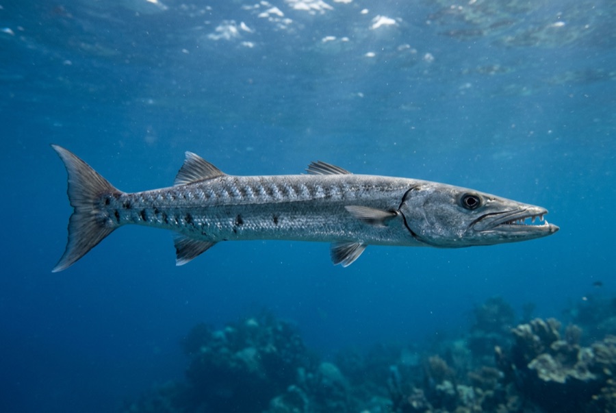
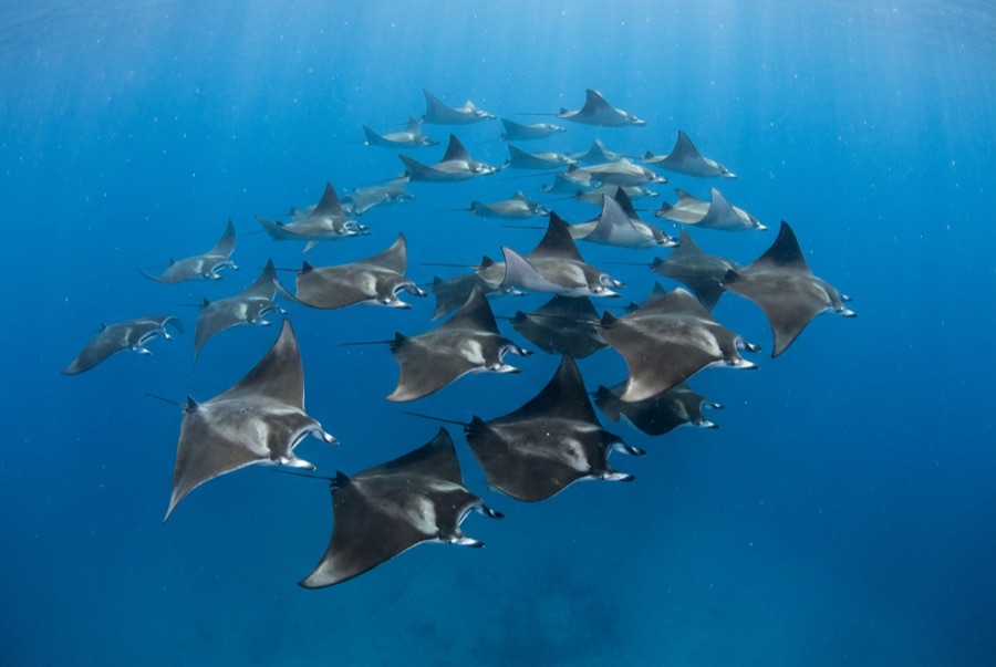
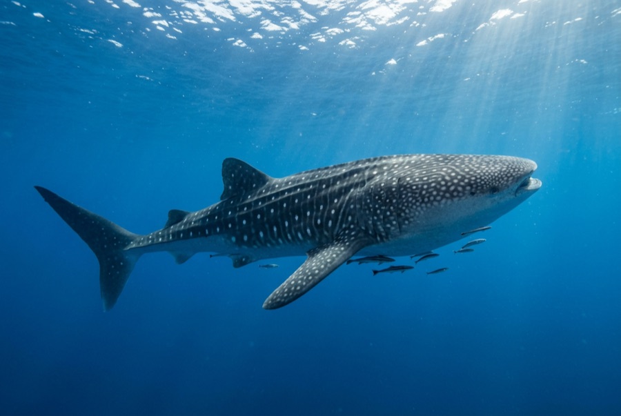
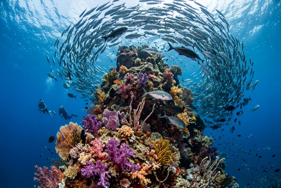
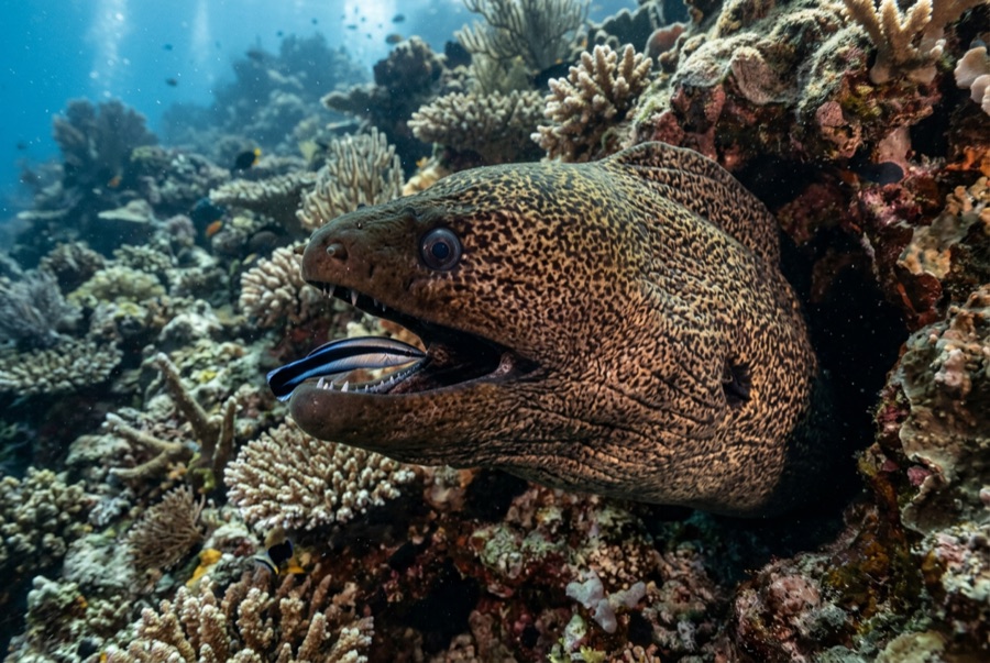
Lima Rock is Musandam's headline act: a sheer-sided islet whose cliffs continue underwater as walls and boulder slopes swept by the Strait of Hormuz's tidal engine. The water is rarely clear and never empty - fusiliers and snapper school in mid-water curtains, jacks strafe the edges, and the plankton haze that limits visibility is exactly what draws mobula rays, which pass in squadrons, and the occasional whale shark in the warm months. Honeycomb morays the width of drainpipes hold the boulder gaps, and eagle rays cruise the deeper sand line. Birds wheel off the cliffs through every surface interval. It is a site where divers learn to trade gin-clear water for biomass, and most decide the trade is good.

바로 그 순간: Mobula squadrons in season; fish schools dense enough to dim the light; dramatic cliff-to-wall topography.

지형: Steep boulder-and-wall flanks around a guano-capped limestone islet, shelving to sand

조류: Tidal flow accelerates around both ends; guides choose the lee and time the corners.

진입: A limestone islet at the mouth of Lima bay, reached by dhow or speedboat from Khasab or Dibba; north and south faces are dived as separate sites.

입수 전에 알아두세요

위험 요소: Strong tidal current and eddies at the corners; boat traffic through the strait; variable visibility.

나이트록스: 여기서는 가치 있습니다 — 수치 범위상 나이트록스를 사용하면 무감압 시간을 의미 있게 연장할 수 있습니다(단, 관련 교육 이수 필요).

만날 수 있는 생물
수중 촬영자를 위한 정보

광각: ★★★★☆ · 마크로: ★★★☆☆ — 각 촬영 스타일에 대한 에디터의 1–5점 평가

호주, 뉴질랜드 & 동아시아

Cairns & the Ribbon ReefsNingaloo ReefCoral Sea & Osprey ReefOkinawa & the Kerama IslandsPoor Knights IslandsTownsville & the YongalaGreen IslandIzu Peninsula

카리브해 & 서대서양

BonaireCozumelRiviera Maya & the CenotesBelize Barrier ReefGrand CaymanIsla Mujeres & CancúnRoatánTiger Beach & Grand Bahama

유럽, 대서양 & 지중해

Malta & GozoSilfra & IcelandThe AzoresCanary IslandsLarnaca & the ZenobiaScapa FlowArctic NorwayMadeira

인도양 및 동아프리카

North & South Malé AtollsAri AtollBaa Atoll & Hanifaru BayAliwal Shoal & UmkomaasMafia IslandMauritiusSeychellesSodwana Bay

태평양 제도 & 미크로네시아

PalauChuuk (Truk) LagoonFakaravaKona, HawaiʻiRangiroaTaveuni & Rainbow ReefBeqa Lagoon & Pacific HarbourEspiritu Santo

홍해 & 중동

Sharm El Sheikh & Ras MohammedBrothers, Daedalus & St John'sDahabHurghada & El GounaMarsa Alam & the Deep SouthAqabaDaymaniyat IslandsMusandam Peninsula

동남아시아 & 코랄 트라이앵글

Bali & Nusa PenidaKomodoRaja AmpatSipadan & MabulAnilaoCoronKoh TaoLembeh Strait

아메리카 & 동태평양

Galápagos IslandsCocos IslandFlorida KeysSea of Cortez & Cabo PulmoSocorro & the RevillagigedosBritish ColumbiaCalifornia Channel IslandsCosta Rica Pacific Coast