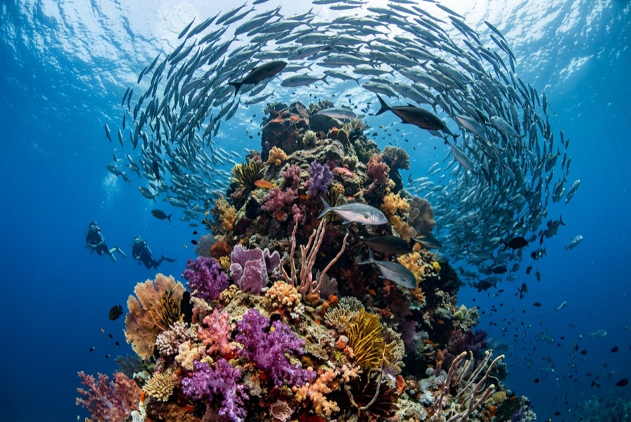
Lima Rock
Derinlik, dalış noktasının tepesinden olağan maksimumuna kadar olan aralıktır; "önerilen sertifika" ise operatörlerin genellikle talep ettiği ana akım ajans düzeyidir, yasal bir kural değildir. Akıntı ve görüş her gün değişir, bu nedenle buradaki her şeyi planlama aralığı olarak değerlendirin.
Lima Rock is Musandam's headline act: a sheer-sided islet whose cliffs continue underwater as walls and boulder slopes swept by the Strait of Hormuz's tidal engine. The water is rarely clear and never empty - fusiliers and snapper school in mid-water curtains, jacks strafe the edges, and the plankton haze that limits visibility is exactly what draws mobula rays, which pass in squadrons, and the occasional whale shark in the warm months. Honeycomb morays the width of drainpipes hold the boulder gaps, and eagle rays cruise the deeper sand line. Birds wheel off the cliffs through every surface interval. It is a site where divers learn to trade gin-clear water for biomass, and most decide the trade is good.
Tam da bunun için geldiğiniz an: Mobula squadrons in season; fish schools dense enough to dim the light; dramatic cliff-to-wall topography.
Topografya: Steep boulder-and-wall flanks around a guano-capped limestone islet, shelving to sand
Akıntı: Tidal flow accelerates around both ends; guides choose the lee and time the corners.
Giriş: A limestone islet at the mouth of Lima bay, reached by dhow or speedboat from Khasab or Dibba; north and south faces are dived as separate sites.
Suya girmeden önce bilinmesi gerekenler
Tehlikeler: Strong tidal current and eddies at the corners; boat traffic through the strait; variable visibility.
Nitrox: Burada değer: profiller, nitrox'un no-stop süresini anlamlı ölçüde uzattığı (ve bunu kullanacak eğitimle birlikte) aralıkta yer alıyor.
Kimlerle karşılaşacaksınız
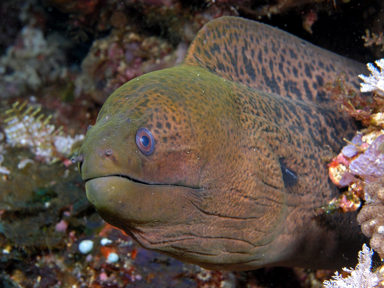
Giant Moray Eel

Great Barracuda
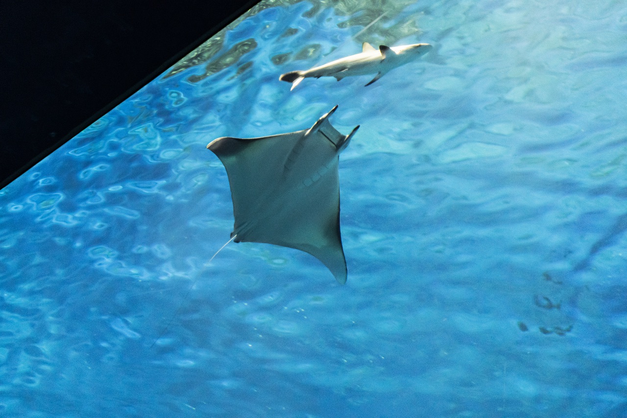
Mobula (Devil) Ray
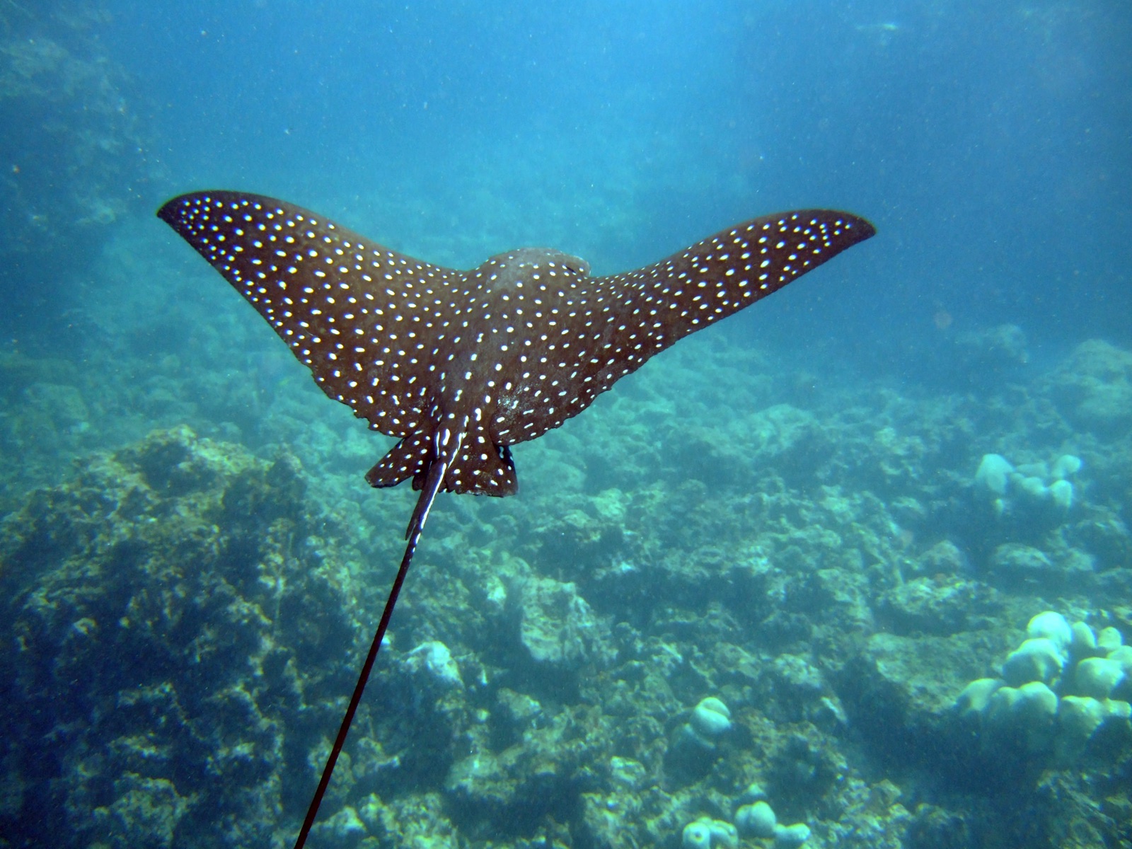
Spotted Eagle Ray
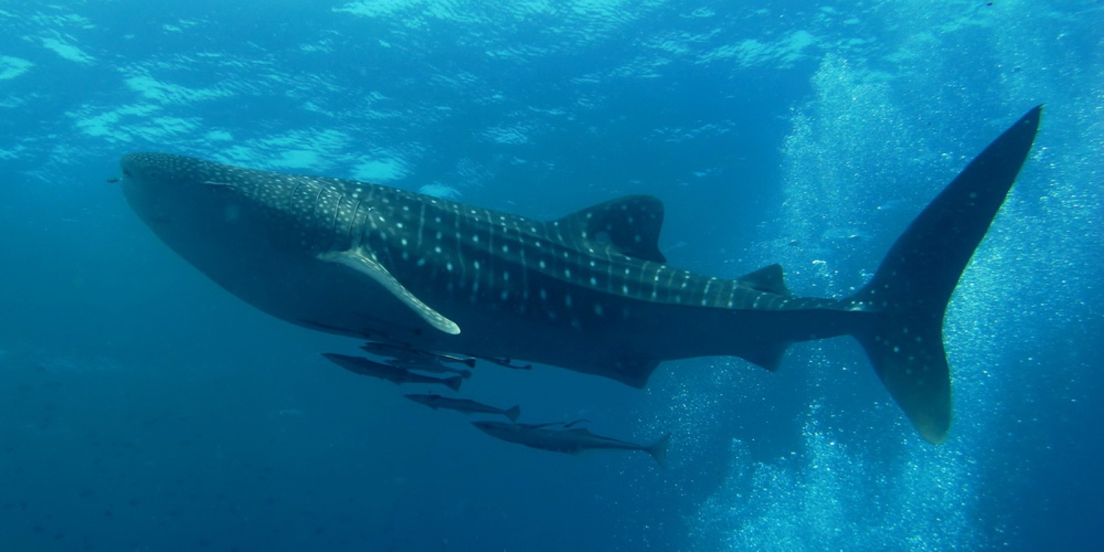
Whale Shark

Nudibranchs

Clownfish & Anemonefish

Lionfish
Yakınında da kaydedilmiş
"Burada haritalanan" türler, editörlerimiz tarafından bu sayfadaki kaynaklardan listelenmiştir. Sayılar, GBIF kayıt sayılarıdır: 1990'dan itibaren haritalanan konumun yaklaşık 5 km çevresinde kaydedilen ve yalnızca kataloğumuzdaki türlerle eşleştirilen gözlemlerdir. Burada nelerin görüldüğünü gösterirler; neleri göreceğinizin garantisi değildir.
Fotoğrafçılar için
Geniş açı: ★★★★☆ · Makro: ★★★☆☆ (editörlerin her çekim tarzı için bu noktanın sunduğunu 1–5 üzerinden değerlendirmesi)