Lima Rock
深度范围从潜点顶部至通常最大深度;"建议认证等级"为运营商通常要求的主流机构等级,并非法律规定。水流与能见度每日变化——请将本站所有信息作为规划参考范围。
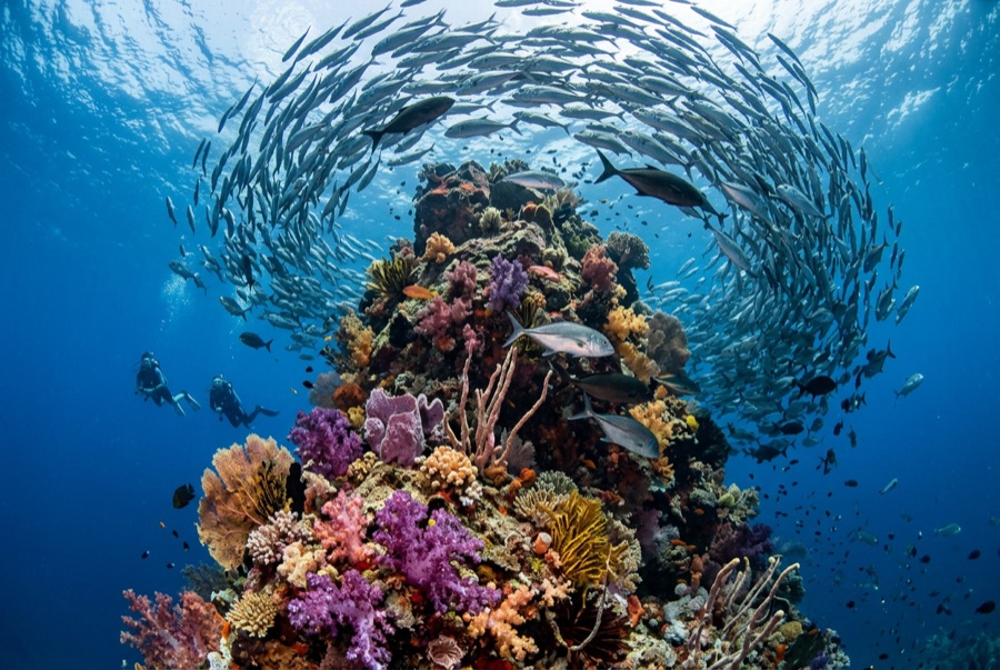
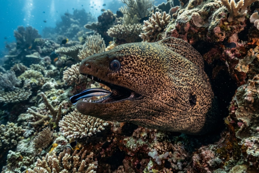
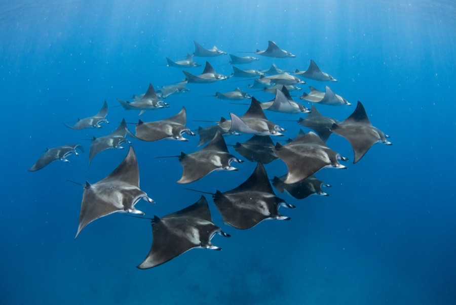
Lima Rock is Musandam's headline act: a sheer-sided islet whose cliffs continue underwater as walls and boulder slopes swept by the Strait of Hormuz's tidal engine. The water is rarely clear and never empty - fusiliers and snapper school in mid-water curtains, jacks strafe the edges, and the plankton haze that limits visibility is exactly what draws mobula rays, which pass in squadrons, and the occasional whale shark in the warm months. Honeycomb morays the width of drainpipes hold the boulder gaps, and eagle rays cruise the deeper sand line. Birds wheel off the cliffs through every surface interval. It is a site where divers learn to trade gin-clear water for biomass, and most decide the trade is good.
您此行的高光时刻: Mobula squadrons in season; fish schools dense enough to dim the light; dramatic cliff-to-wall topography.
地形地貌: Steep boulder-and-wall flanks around a guano-capped limestone islet, shelving to sand
水流: Tidal flow accelerates around both ends; guides choose the lee and time the corners.
入水方式: A limestone islet at the mouth of Lima bay, reached by dhow or speedboat from Khasab or Dibba; north and south faces are dived as separate sites.
入水前须知
危险因素: Strong tidal current and eddies at the corners; boat traffic through the strait; variable visibility.
高氧(Nitrox): 在此值得使用——各潜点深度落在富氧空气(nitrox)能有效延长免减压时间的区间(前提是持有相应认证)。
你会遇见谁
Giant Moray Eel
Great Barracuda
Mobula (Devil) Ray

Spotted Eagle Ray
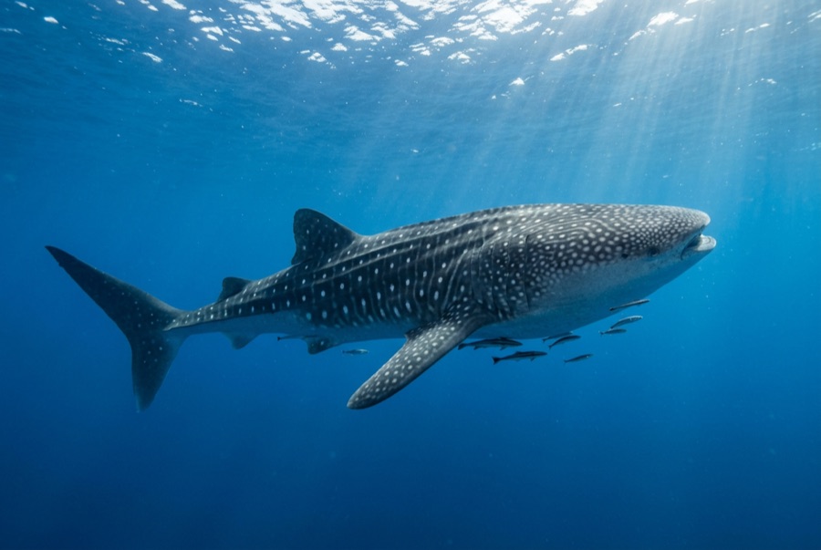
Whale Shark
摄影师专区
广角: ★★★★☆ · 微距: ★★★☆☆ — 编辑对该潜点适合各类水下摄影风格的1–5分评级