
Mesharifa
La profondeur indique la plage entre le sommet du site et son maximum habituel ; le « niveau de certification recommandé » correspond au niveau généralement demandé par les opérateurs selon les agences grand public, et non à une règle légale. Les courants et la visibilité varient chaque jour — considérez toutes ces informations comme des estimations de planification.
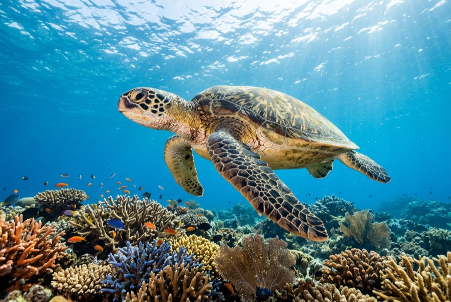
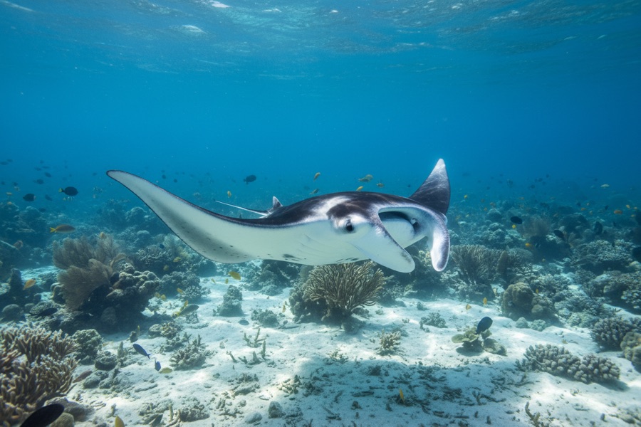
From August into autumn, plankton concentrates in the channels around Mesharifa's small sand island, and reef manta rays arrive to work it - looping, barrel-rolling, mouths agape, sometimes in feeding chains a dozen animals long. The water is shallow and the action often happens at the surface, so this is chiefly a snorkel encounter, drifting quietly while the mantas commute their invisible plankton lanes; dives along the channel edges add rays, turtles, and the odd passing eagle ray. The site sits inside the Dungonab Bay side of Sudan's World Heritage marine park, and its aggregation is the country's gentlest marquee event - no depth, no current games, just abundance. Boats historically timed their final itineraries of the hot season around it.
Le moment pour lequel vous venez: Feeding chains of reef mantas; surface encounters in warm, easy water; the wild north of Sudan's marine park.
Topographie: Shallow lagoon channels and sand flats around a low sand island
Entrée: A sandy islet lagoon in the Dungonab Bay area, far north of Port Sudan; visited on late-summer itineraries built around the mantas.
À savoir avant de plonger
Dangers: Sun and heat in the peak manta months; shallow sand bars around the lagoon.
Conservation: Approach mantas from the side, never over their line of travel, and let feeding animals set every distance.
Qui vous croiserez

Pour les photographes
Grand angle: ★★★★★ · Macro: ★☆☆☆☆ — note 1–5 des éditeurs sur ce que ce site offre à chaque style de prise de vue