
Mesharifa
Kedalaman adalah rentang dari bagian teratas lokasi hingga maksimum biasanya; "sertifikasi yang direkomendasikan" adalah level yang umumnya diminta operator dari lembaga arus utama, bukan aturan hukum. Arus dan visibilitas berubah setiap hari — gunakan semua informasi di sini sebagai kisaran perencanaan saja.
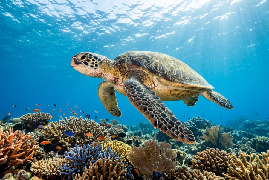
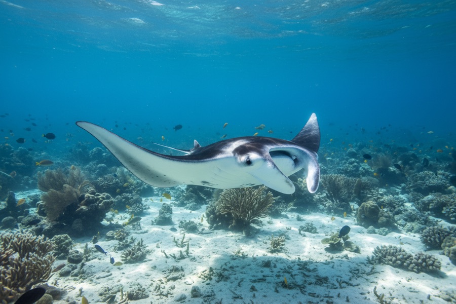
From August into autumn, plankton concentrates in the channels around Mesharifa's small sand island, and reef manta rays arrive to work it - looping, barrel-rolling, mouths agape, sometimes in feeding chains a dozen animals long. The water is shallow and the action often happens at the surface, so this is chiefly a snorkel encounter, drifting quietly while the mantas commute their invisible plankton lanes; dives along the channel edges add rays, turtles, and the odd passing eagle ray. The site sits inside the Dungonab Bay side of Sudan's World Heritage marine park, and its aggregation is the country's gentlest marquee event - no depth, no current games, just abundance. Boats historically timed their final itineraries of the hot season around it.
Momen yang Anda nantikan: Feeding chains of reef mantas; surface encounters in warm, easy water; the wild north of Sudan's marine park.
Topografi: Shallow lagoon channels and sand flats around a low sand island
Entri: A sandy islet lagoon in the Dungonab Bay area, far north of Port Sudan; visited on late-summer itineraries built around the mantas.
Ketahui sebelum kamu nyebur
Bahaya: Sun and heat in the peak manta months; shallow sand bars around the lagoon.
Konservasi: Approach mantas from the side, never over their line of travel, and let feeding animals set every distance.
Siapa yang akan kamu temui

Untuk fotografer
Wide angle: ★★★★★ · Makro: ★☆☆☆☆ — penilaian 1–5 dari editor tentang apa yang ditawarkan lokasi ini untuk setiap gaya pemotretan