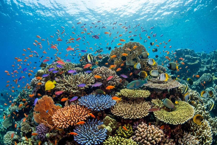
Mesharifa
수심은 사이트 상단부터 통상적인 최대 수심까지의 범위이며, '권장 자격증'은 업체에서 통상적으로 요구하는 주요 인증 기관 기준이지 법적 규정이 아닙니다. 조류와 시야는 매일 달라지므로, 모든 정보는 계획 수립용 참고 범위로 활용하세요.
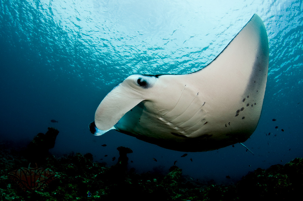
From August into autumn, plankton concentrates in the channels around Mesharifa's small sand island, and reef manta rays arrive to work it - looping, barrel-rolling, mouths agape, sometimes in feeding chains a dozen animals long. The water is shallow and the action often happens at the surface, so this is chiefly a snorkel encounter, drifting quietly while the mantas commute their invisible plankton lanes; dives along the channel edges add rays, turtles, and the odd passing eagle ray. The site sits inside the Dungonab Bay side of Sudan's World Heritage marine park, and its aggregation is the country's gentlest marquee event - no depth, no current games, just abundance. Boats historically timed their final itineraries of the hot season around it.
바로 그 순간: Feeding chains of reef mantas; surface encounters in warm, easy water; the wild north of Sudan's marine park.
지형: Shallow lagoon channels and sand flats around a low sand island
진입: A sandy islet lagoon in the Dungonab Bay area, far north of Port Sudan; visited on late-summer itineraries built around the mantas.
입수 전에 알아두세요
위험 요소: Sun and heat in the peak manta months; shallow sand bars around the lagoon.
보존: Approach mantas from the side, never over their line of travel, and let feeding animals set every distance.
만날 수 있는 생물
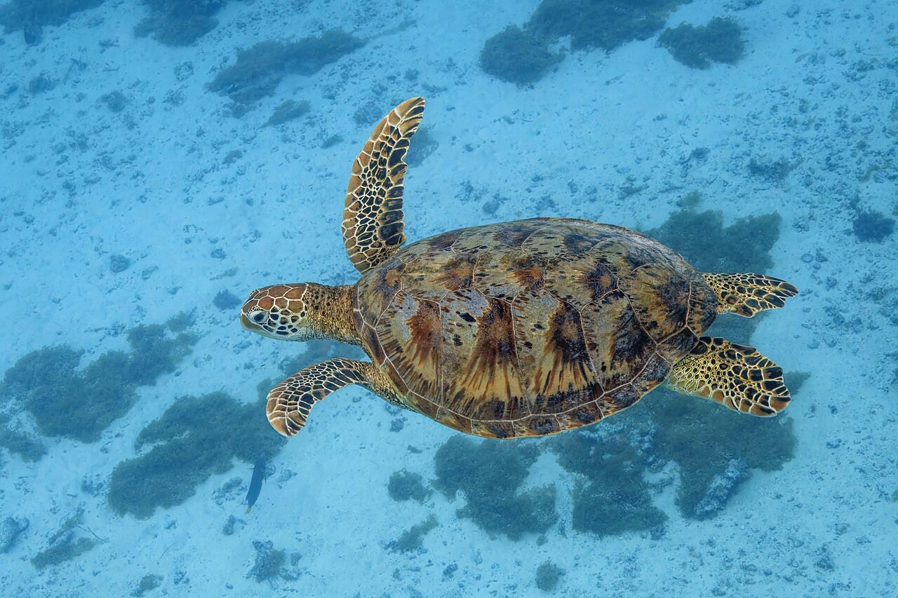
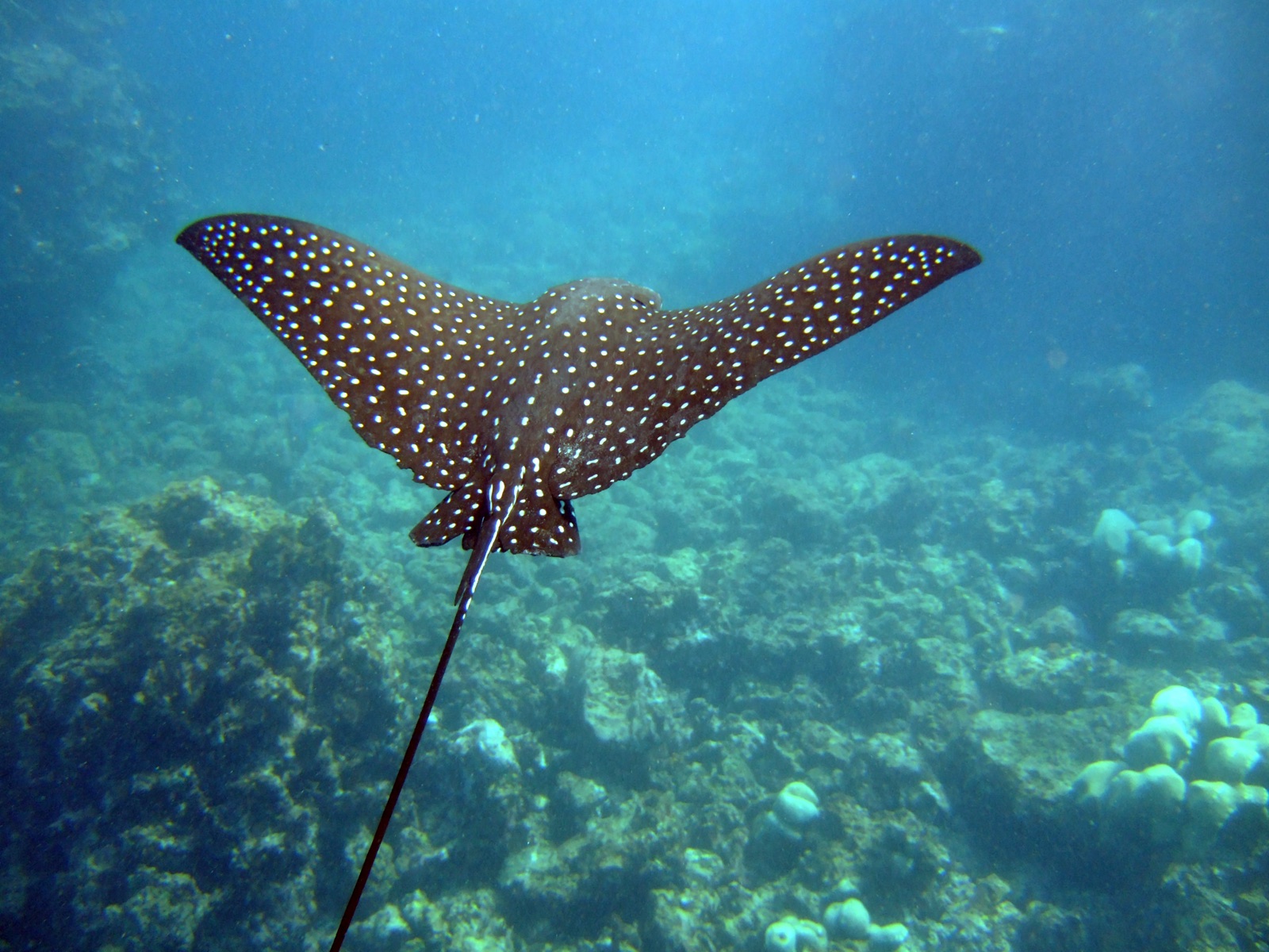
"여기에 등록된" 생물종은 편집팀이 이 페이지의 출처를 바탕으로 목록화한 종입니다. 표시된 수치는 GBIF 출현 기록으로, 1990년 이후 등록 위치 기준 약 5km 이내에서 관찰·기록된 건수이며, 저희 카탈로그에 수록된 종에 한해 대조한 결과입니다. 실제로 목격된 사례를 보여주는 것이며, 현장에서 반드시 볼 수 있다는 보장은 아닙니다.
수중 촬영자를 위한 정보
광각: ★★★★★ · 마크로: ★☆☆☆☆ (각 촬영 스타일에 대한 에디터의 1–5점 평가)