Buceando en United States
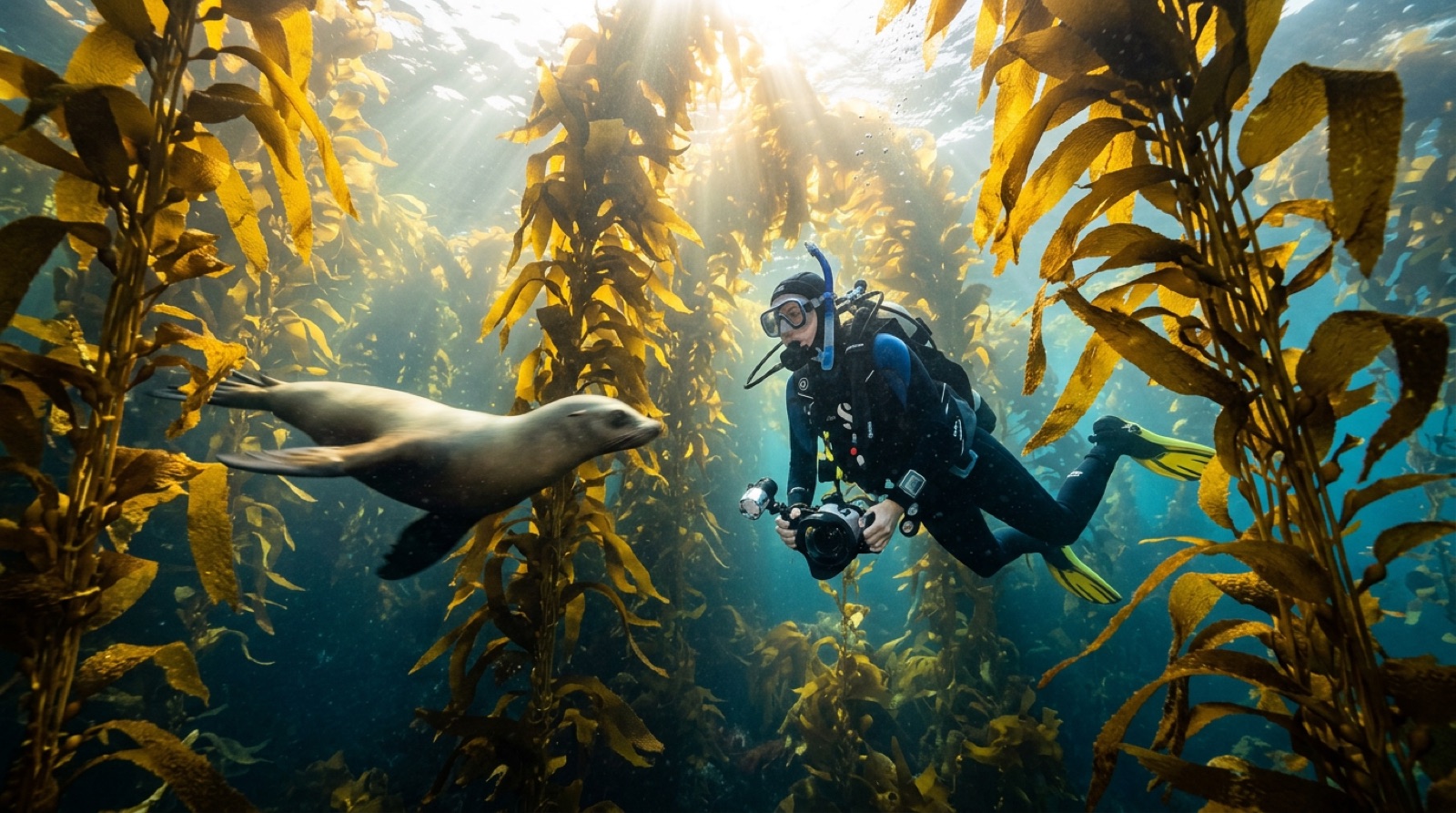
This entry covers the four American dive regions in the registry rather than the whole country. The Florida Keys string patch reefs, shallow coral gardens, and big intentionally sunk ships along a national marine sanctuary. North Carolina's offshore wrecks — the Graveyard of the Atlantic — pair Gulf Stream blue water with sand tiger sharks drifting through torpedoed hulls and a sunken U-boat. California's Channel Islands trade coral for swaying giant-kelp forests, sea lions, and lobster-crowded ledges in cool green-blue water. And Hawaiʻi brings volcanic terrain, endemic fish, and Kona's famous night dive with feeding manta rays. Infrastructure, medical backup, and boat standards are excellent everywhere; the diving itself ranges from beginner-friendly reef to genuinely advanced offshore work.
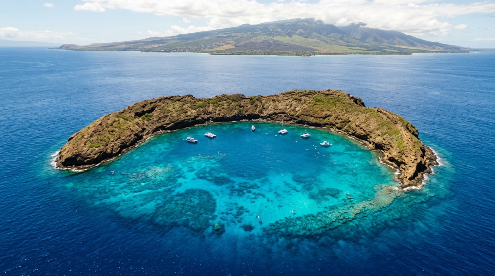
Four registry destinations. Florida Keys: reef and wreck day boats from Key Largo to Key West inside the national marine sanctuary. North Carolina Outer Banks: long offshore runs from Morehead City and Beaufort to wrecks like the U-352. California Channel Islands: kelp diving by boat from Ventura and Santa Barbara. Hawaiʻi: Kona's lava coast and manta night dive, Oʻahu's wrecks and reefs, and Maui's Molokini crater rim.
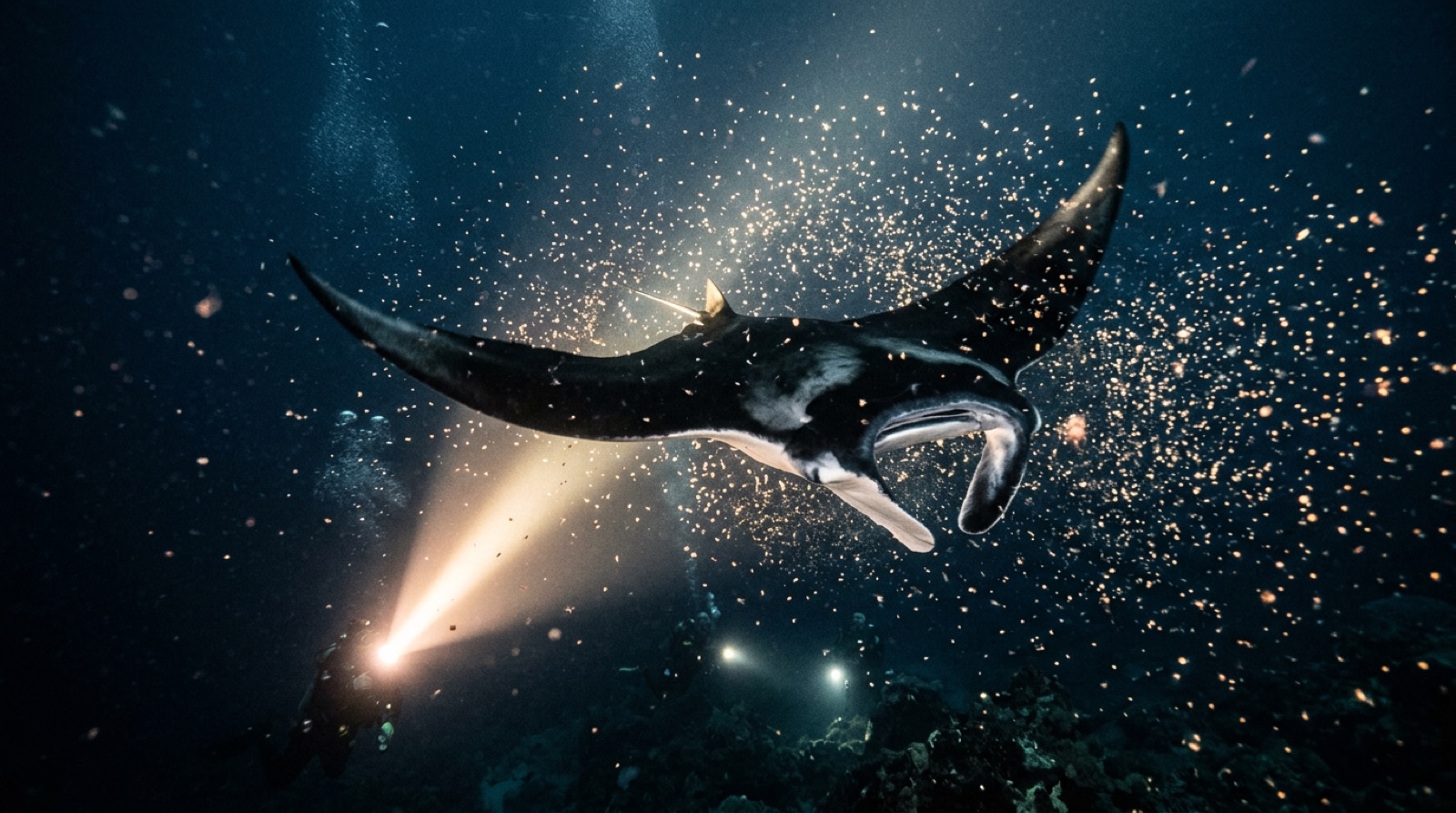
Experiencias distintivas: Manta rays somersaulting through dive lights off Kona; sand tigers hanging in a North Carolina wreck's shadow; flying through kelp canopy with sea lions at the Channel Islands; the Spiegel Grove and Vandenberg's huge decks in the Keys; Molokini's clear-water crescent at dawn.
Temporadas: Each region keeps its own calendar: the Keys and Hawaiʻi dive year-round (Keys summer is calmest; Hawaiʻi's winter adds surf and whale song), North Carolina's offshore season runs late spring through early fall, and the Channel Islands are diveable all year with the warmest water and best visibility typically late summer into fall. June-November is Atlantic hurricane season for the Keys and Carolinas.
Los destinos
Florida Keys
Kona, Hawaiʻi
California Channel Islands
Maui & Molokini
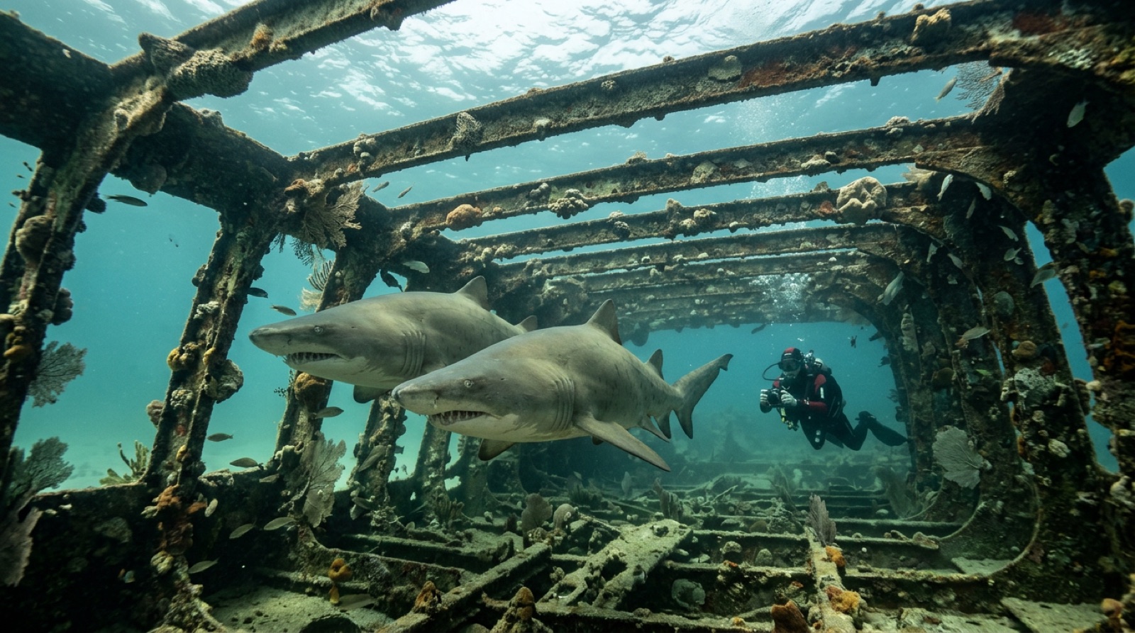
North Carolina Outer Banks
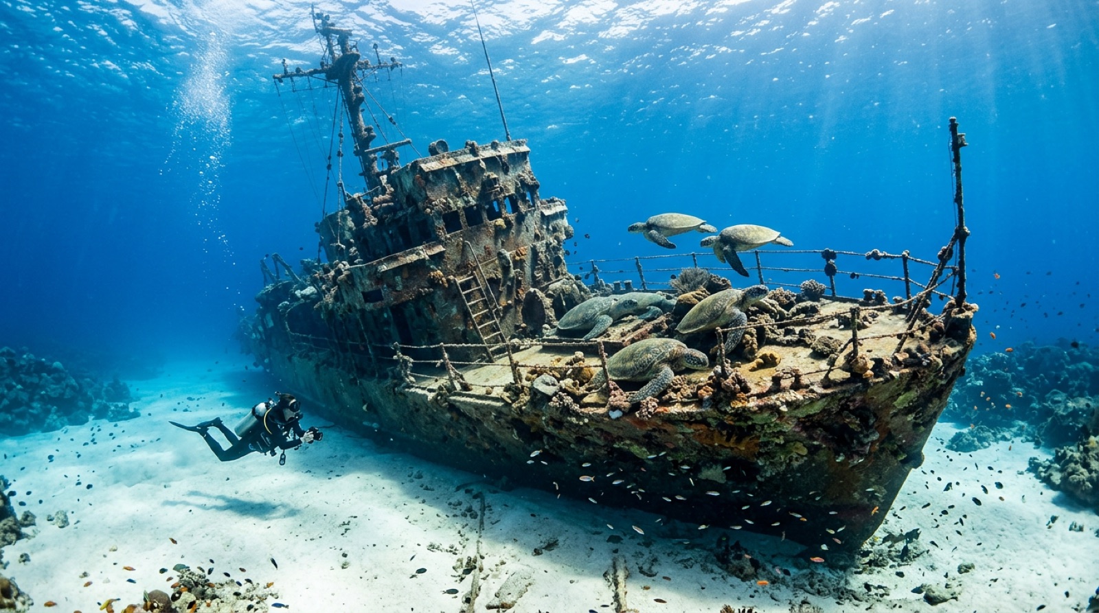
Oʻahu
Puntos de buceo destacados
| Sitio | Destino | Tipo | Profundidad | Nivel |
|---|---|---|---|---|
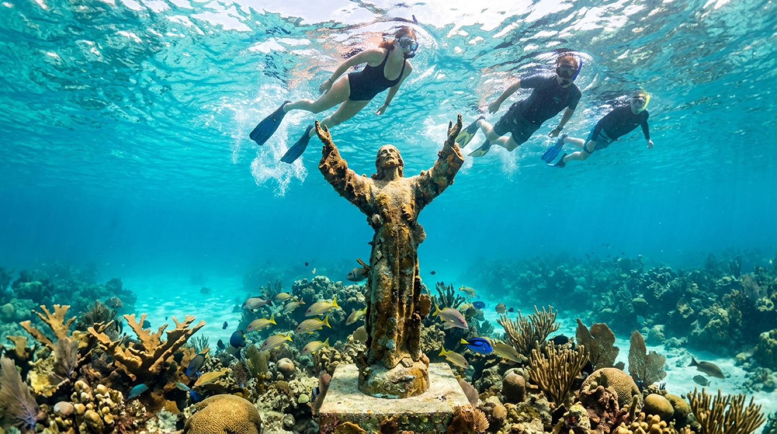
| Christ of the Abyss | Florida Keys | Reef | 3–9 m | Beginner |
| Garden Eel Cove (Manta Night Dive) | Kona, Hawaiʻi | Reef | 5–14 m | Beginner |
| Kealakekua Bay | Kona, Hawaiʻi | Reef | 3–30 m | Beginner |
| Kona Blackwater Drift | Kona, Hawaiʻi | Blue water | 10–18 m | Advanced |
| Looe Key | Florida Keys | Reef | 2–12 m | Beginner |
| Molasses Reef | Florida Keys | Reef | 5–15 m | Beginner |
| SS Benwood | Florida Keys | Wreck | 8–14 m | Beginner |
| Turtle Pinnacle | Kona, Hawaiʻi | Pinnacle | 8–20 m | Beginner |
| Two Step (Hōnaunau Bay) | Kona, Hawaiʻi | Shore | 3–25 m | Beginner |
| USCGC Duane | Florida Keys | Wreck | 18–36 m | Advanced |
Todos los puntos cartografiados en United States →
Vida marina
Pecios
El archivo práctico
Cómo llegar: Fly into Miami or Fort Lauderdale and drive the Overseas Highway for the Keys; Raleigh or Norfolk then drive to Morehead City for North Carolina; Los Angeles for Ventura-Santa Barbara boats to the Channel Islands; Kona (KOA), Honolulu (HNL), or Kahului (OGG) for Hawaiʻi.
Entrada y visados: Travelers from Visa Waiver Program countries use ESTA pre-authorization while others need a visitor visa; verify current requirements with US authorities well before travel.
Cuánto cuesta bucear: Two-tank boat dives commonly run about US$110-180 depending on region, with Kona manta night dives and NC offshore runs toward the upper end; US lodging, rental cars, and dining push overall trip costs to developed-world levels.
Idioma: English is the working language everywhere; Spanish is widely spoken in Florida and California, and Hawaiian language and place names are part of daily life in the islands.
Propinas: Tipping culture is strong: 15-20 percent in restaurants and a customary cash tip for dive crews after boat trips.
Seguridad en el viaje: Travel is straightforward and dive operations are tightly regulated. The practical notes are medical costs — carry insurance, as US healthcare is expensive — plus regional conditions: multi-hour offshore crossings and current in North Carolina, cold water and surge in California, boat traffic on busy Keys reefs, and surf entries in wintertime Hawaiʻi.
Cobertura de recompresión: Recompression coverage is among the world's best, with chambers serving all four regions and DAN itself headquartered in North Carolina; emergencies route through 911 and DAN for current facility referral.