Tumakohua Pass
La profondeur correspond à la plage allant du sommet du site jusqu'à son maximum habituel ; le « niveau recommandé » est le niveau demandé en général par les opérateurs auprès des grandes agences, pas une règle légale. Les courants et la visibilité varient chaque jour, traitez donc tout cela comme des plages indicatives de planification.
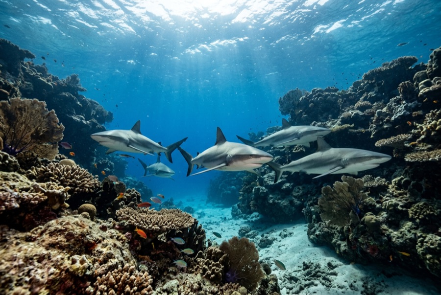
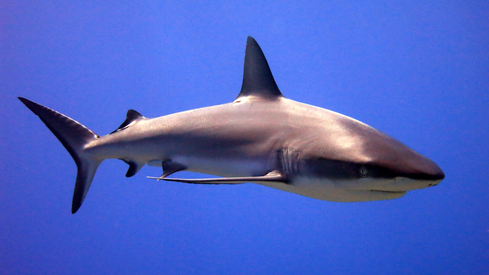
The wall of sharks is not a figure of speech. On the ocean shoulder of Fakarava's south pass, gray reef sharks hold station in the incoming current by the hundred: layered ranks filling the water column from the shelf down the drop, more sharks in one visual field than most divers see in a career. You settle behind a coral rib, watch the wall shift and breathe, then release into the flow and ride over groupers, snapper, and pink coral gutters to the village jetty. Around the June–July full moons, thousands of spawning camouflage groupers pack the channel and the night dives among hunting sharks become the most intense guided diving in French Polynesia.
Le moment pour lequel vous venez: The gray reef shark wall; the grouper aggregation and night hunts around mid-year full moons; a drift finish at Tetamanu's jetty.
Topographie: A narrow reef channel with a coral shelf, a stepped drop-off, and pink-sand gutters running to the lagoon
Courant: Tidal; the incoming phase gives clear water and the classic dive, finishing over the shallows by the village jetty.
Entrée: Dived from the tiny Tetamanu village at the pass mouth or from liveaboards; drop on the ocean side and ride the incoming tide up the channel.
À savoir avant de plonger
Dangers: Strong current with an outgoing phase that sweeps toward open ocean: dive the right tide; night dives among actively hunting sharks demand tight discipline.
Conservation: A UNESCO biosphere core area and shark sanctuary: no feeding, no touching, and night hunts only with the local guides who set the protocols.
Nitrox: Pertinent ici : les profils se situent dans la plage où le nitrox prolonge significativement le temps sans palier (avec la formation pour l'utiliser).
Qui vous croiserez
Whitetip Reef Shark
Napoleon (Humphead) Wrasse
Grey Reef Shark
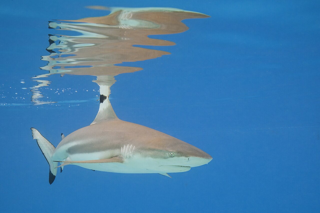
Blacktip Reef Shark
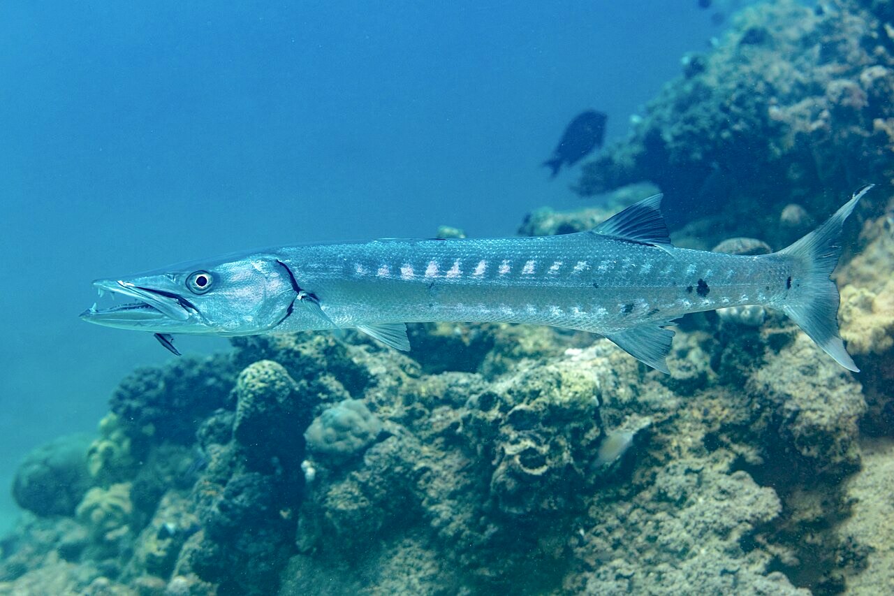
Great Barracuda
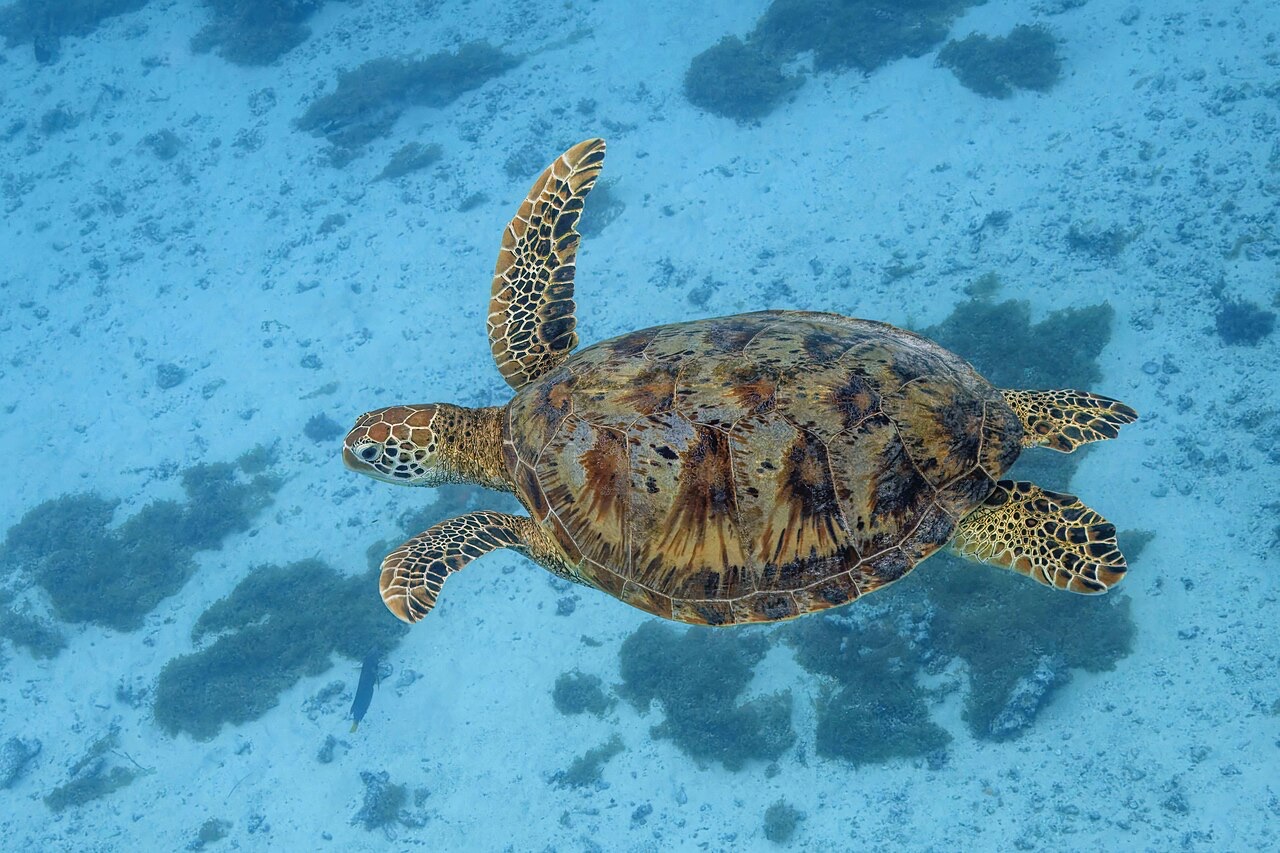
Green Sea Turtle
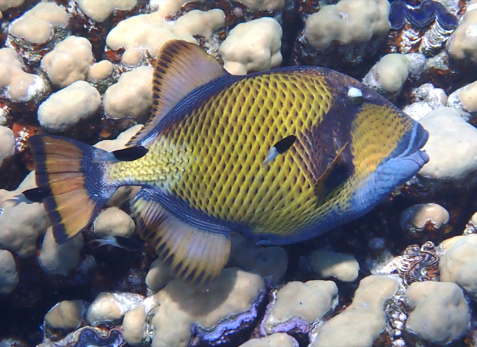
Titan Triggerfish

Clownfish & Anemonefish
Également observé à proximité
Les espèces « cartographiées ici » ont été répertoriées par nos éditeurs à partir des sources indiquées sur cette page. Les comptages correspondent aux occurrences GBIF : observations enregistrées dans un rayon d'environ 5 km autour de la position cartographiée depuis 1990, comparées uniquement aux espèces de notre catalogue. Ils indiquent ce qui a été observé à cet endroit, sans garantir ce que vous y verrez.
Pour les photographes
Grand angle: ★★★★★ · Macro: ★☆☆☆☆ (note 1–5 des éditeurs sur ce que ce site offre à chaque style de prise de vue)