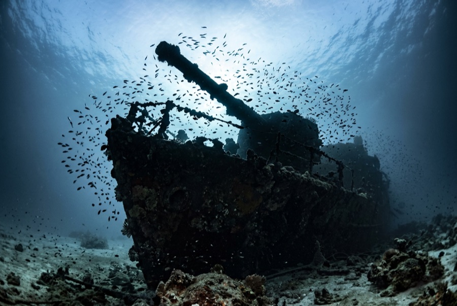
Kimon M
La profondeur correspond à la plage allant du sommet du site jusqu'à son maximum habituel ; le « niveau recommandé » est le niveau demandé en général par les opérateurs auprès des grandes agences, pas une règle légale. Les courants et la visibilité varient chaque jour, traitez donc tout cela comme des plages indicatives de planification.
Last in line along Abu Nuhas and first to sink of the four that remain, the Kimon M drove onto the reef in December 1978 with a cargo of lentils - hence the nickname - and heavy seas soon pushed her hull off the crest and down the slope, where she lies on her starboard side with the stern at about 32 meters. She is the most broken of the quartet, which is her appeal: an exercise in reading a ship from its pieces, engine and drive train exposed, deck machinery scattered, the four-bladed propeller standing clear of the sand. Fish have colonized the wreckage thoroughly, and because most day boats favor her prettier neighbors, the Kimon M often gives a group the rare Abu Nuhas experience of having a wreck to itself.
Le moment pour lequel vous venez: The exposed engine and propeller; quieter conditions than the neighboring wrecks; strong fish colonization.
Topographie: Hull lying on its starboard side down the sand slope, bow wreckage high on the reef
Entrée: Easternmost of the Abu Nuhas four; dived from a mooring or as a drift along the reef base.
À savoir avant de plonger
Dangers: Unstable plating; depth creep toward the stern; surge on the shallow bow section.
Conservation: Collapsed structure shelters dense fish life - resist moving or turning wreckage.
Nitrox: Pertinent ici : les profils se situent dans la plage où le nitrox prolonge significativement le temps sans palier (avec la formation pour l'utiliser).
Qui vous croiserez

Lionfish
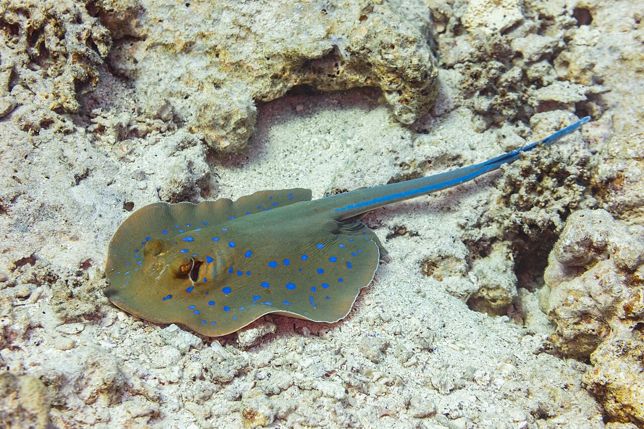
Blue-Spotted Ribbontail Ray
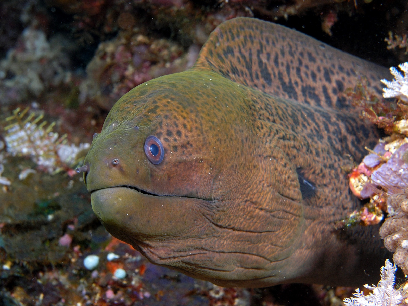
Giant Moray Eel
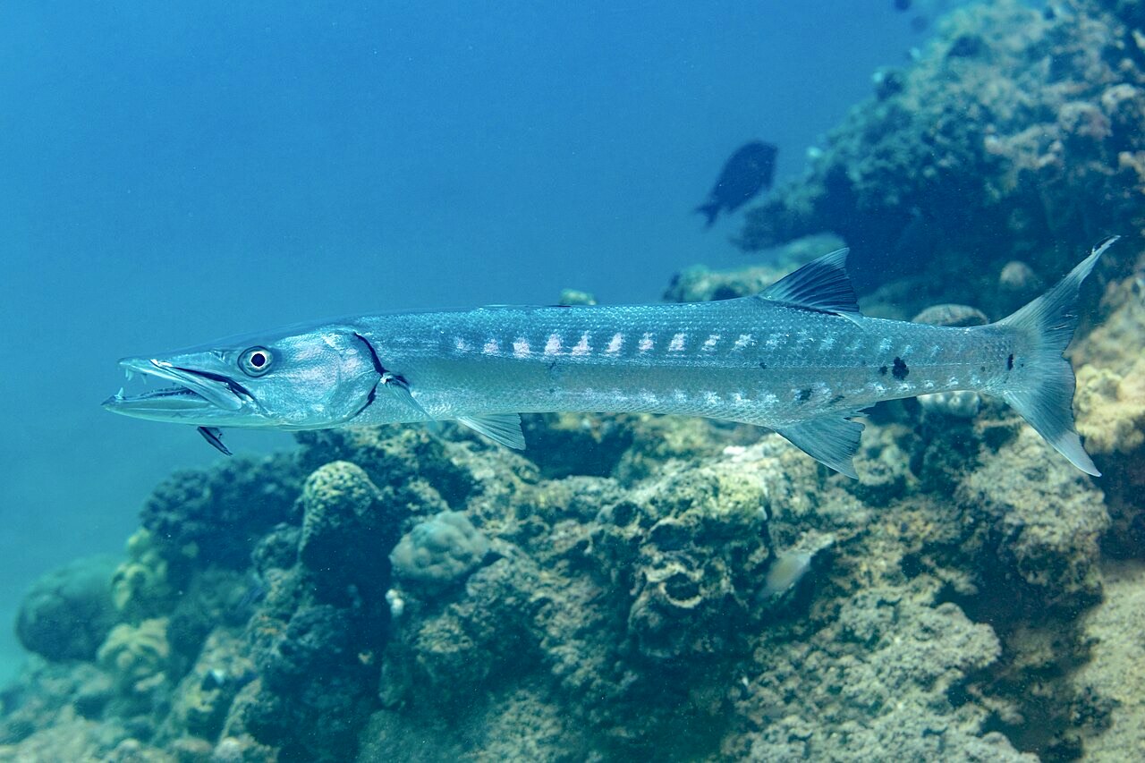
Great Barracuda

Nudibranchs

Clownfish & Anemonefish
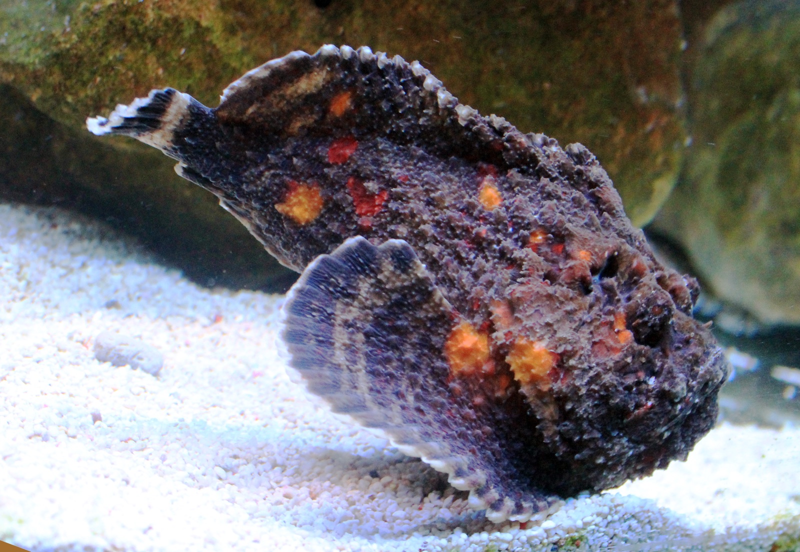
Reef Stonefish
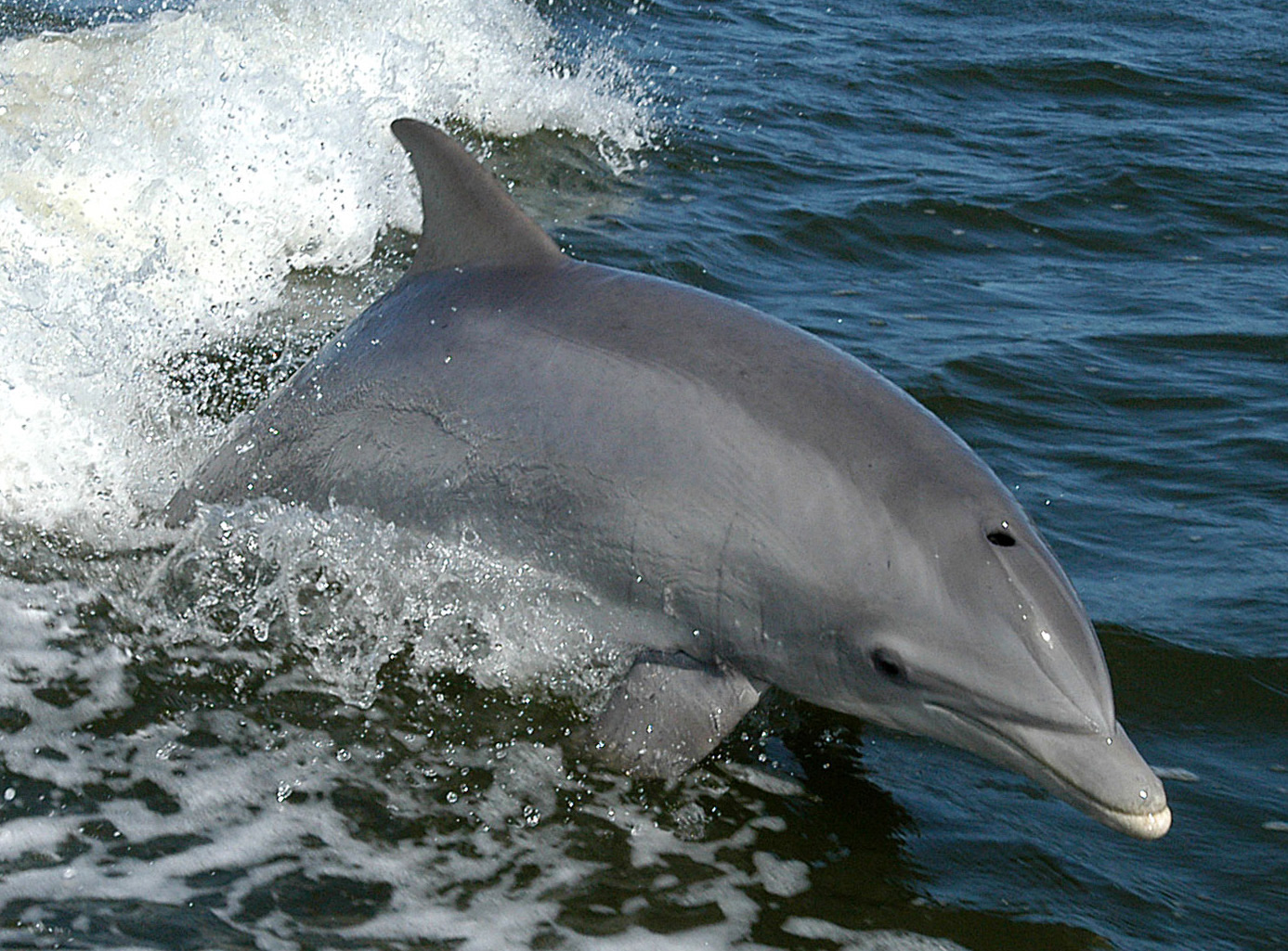
Bottlenose Dolphin
Également observé à proximité
Les espèces « cartographiées ici » ont été répertoriées par nos éditeurs à partir des sources indiquées sur cette page. Les comptages correspondent aux occurrences GBIF : observations enregistrées dans un rayon d'environ 5 km autour de la position cartographiée depuis 1990, comparées uniquement aux espèces de notre catalogue. Ils indiquent ce qui a été observé à cet endroit, sans garantir ce que vous y verrez.
Pour les photographes
Grand angle: ★★★★☆ · Macro: ★★★☆☆ (note 1–5 des éditeurs sur ce que ce site offre à chaque style de prise de vue)