Kimon M
A profundidade é o intervalo entre o topo do local e o seu máximo habitual; "certificação recomendada" é o nível das agências convencionais que os operadores normalmente exigem, não uma regra legal. As correntes e a visibilidade mudam diariamente, por isso trata tudo isto como intervalos de planeamento.
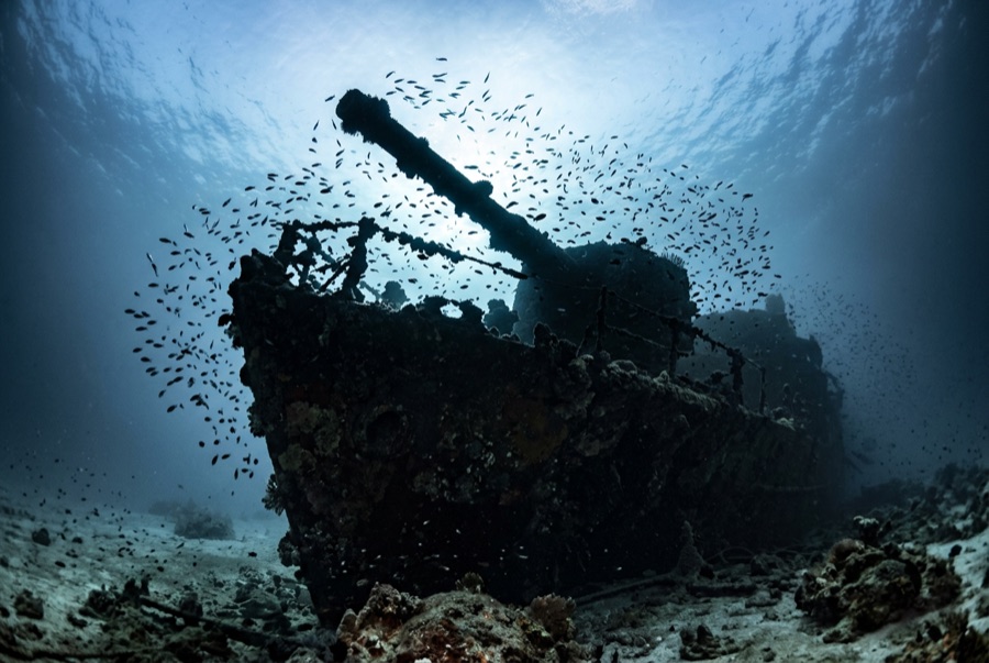
Last in line along Abu Nuhas and first to sink of the four that remain, the Kimon M drove onto the reef in December 1978 with a cargo of lentils - hence the nickname - and heavy seas soon pushed her hull off the crest and down the slope, where she lies on her starboard side with the stern at about 32 meters. She is the most broken of the quartet, which is her appeal: an exercise in reading a ship from its pieces, engine and drive train exposed, deck machinery scattered, the four-bladed propeller standing clear of the sand. Fish have colonized the wreckage thoroughly, and because most day boats favor her prettier neighbors, the Kimon M often gives a group the rare Abu Nuhas experience of having a wreck to itself.
O momento pelo qual você vem: The exposed engine and propeller; quieter conditions than the neighboring wrecks; strong fish colonization.
Topografia: Hull lying on its starboard side down the sand slope, bow wreckage high on the reef
Entrada: Easternmost of the Abu Nuhas four; dived from a mooring or as a drift along the reef base.
Sabe antes de entrar na água
Perigos: Unstable plating; depth creep toward the stern; surge on the shallow bow section.
Conservação: Collapsed structure shelters dense fish life - resist moving or turning wreckage.
Nitrox: Vale a pena aqui: os perfis situam-se na gama em que o nitrox prolonga significativamente o tempo sem paragem de descompressão (com a formação para o usar).
Quem vai encontrar

Lionfish
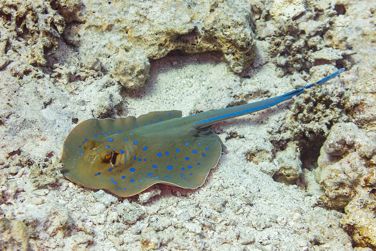
Blue-Spotted Ribbontail Ray
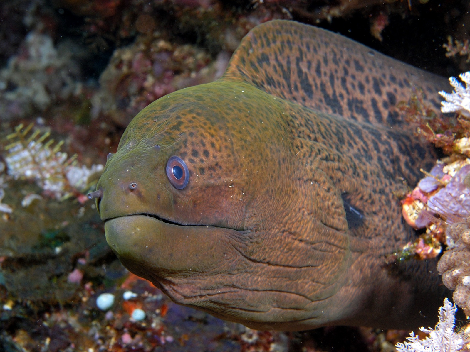
Giant Moray Eel
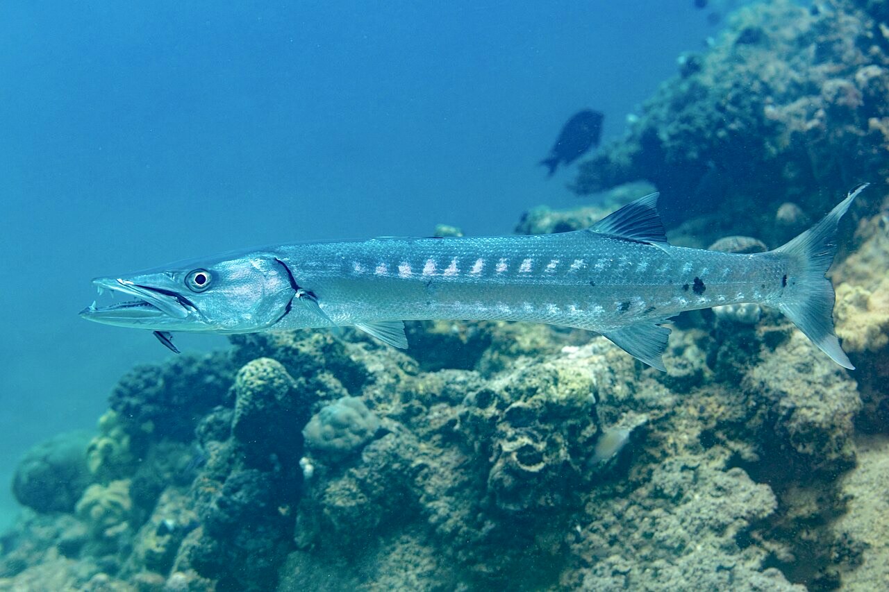
Great Barracuda

Nudibranchs

Clownfish & Anemonefish
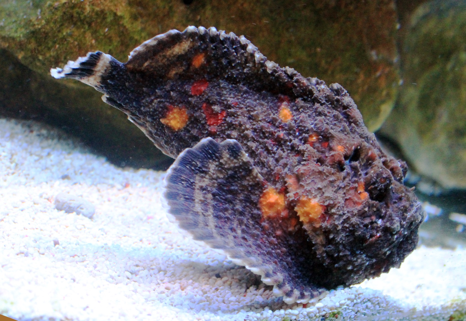
Reef Stonefish
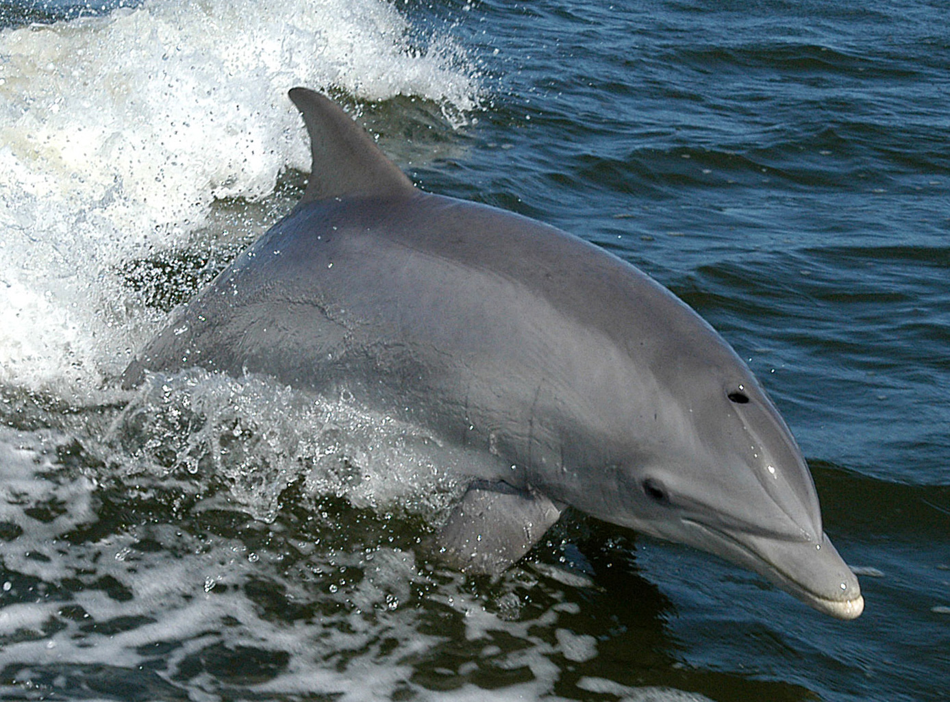
Bottlenose Dolphin
Também registado nas proximidades
As espécies "registadas aqui" foram listadas pelos nossos editores a partir das fontes desta página. As contagens são registos de ocorrência do GBIF: observações registadas num raio de cerca de 5 km da posição indicada desde 1990, cruzadas apenas com as espécies do nosso catálogo. Mostram o que foi avistado no local, não uma garantia do que irá encontrar.
Para fotógrafos
Grande angular: ★★★★☆ · Macro: ★★★☆☆ (classificação de 1–5 dos editores sobre o que este sítio oferece a cada estilo de fotografia)