Kimon M
Derinlik, dalış noktasının tepesinden olağan maksimumuna kadar olan aralıktır; "önerilen sertifika" ise operatörlerin genellikle talep ettiği ana akım ajans düzeyidir, yasal bir kural değildir. Akıntı ve görüş her gün değişir, bu nedenle buradaki her şeyi planlama aralığı olarak değerlendirin.
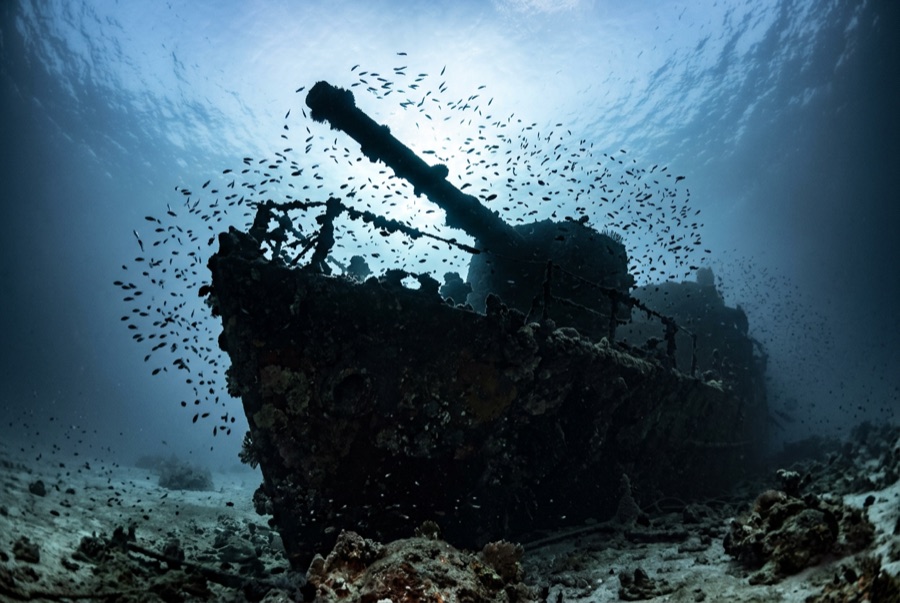
Last in line along Abu Nuhas and first to sink of the four that remain, the Kimon M drove onto the reef in December 1978 with a cargo of lentils - hence the nickname - and heavy seas soon pushed her hull off the crest and down the slope, where she lies on her starboard side with the stern at about 32 meters. She is the most broken of the quartet, which is her appeal: an exercise in reading a ship from its pieces, engine and drive train exposed, deck machinery scattered, the four-bladed propeller standing clear of the sand. Fish have colonized the wreckage thoroughly, and because most day boats favor her prettier neighbors, the Kimon M often gives a group the rare Abu Nuhas experience of having a wreck to itself.
Tam da bunun için geldiğiniz an: The exposed engine and propeller; quieter conditions than the neighboring wrecks; strong fish colonization.
Topografya: Hull lying on its starboard side down the sand slope, bow wreckage high on the reef
Giriş: Easternmost of the Abu Nuhas four; dived from a mooring or as a drift along the reef base.
Suya girmeden önce bilinmesi gerekenler
Tehlikeler: Unstable plating; depth creep toward the stern; surge on the shallow bow section.
Koruma: Collapsed structure shelters dense fish life - resist moving or turning wreckage.
Nitrox: Burada değer: profiller, nitrox'un no-stop süresini anlamlı ölçüde uzattığı (ve bunu kullanacak eğitimle birlikte) aralıkta yer alıyor.
Kimlerle karşılaşacaksınız

Lionfish
Blue-Spotted Ribbontail Ray
Giant Moray Eel

Great Barracuda

Nudibranchs

Clownfish & Anemonefish
Reef Stonefish
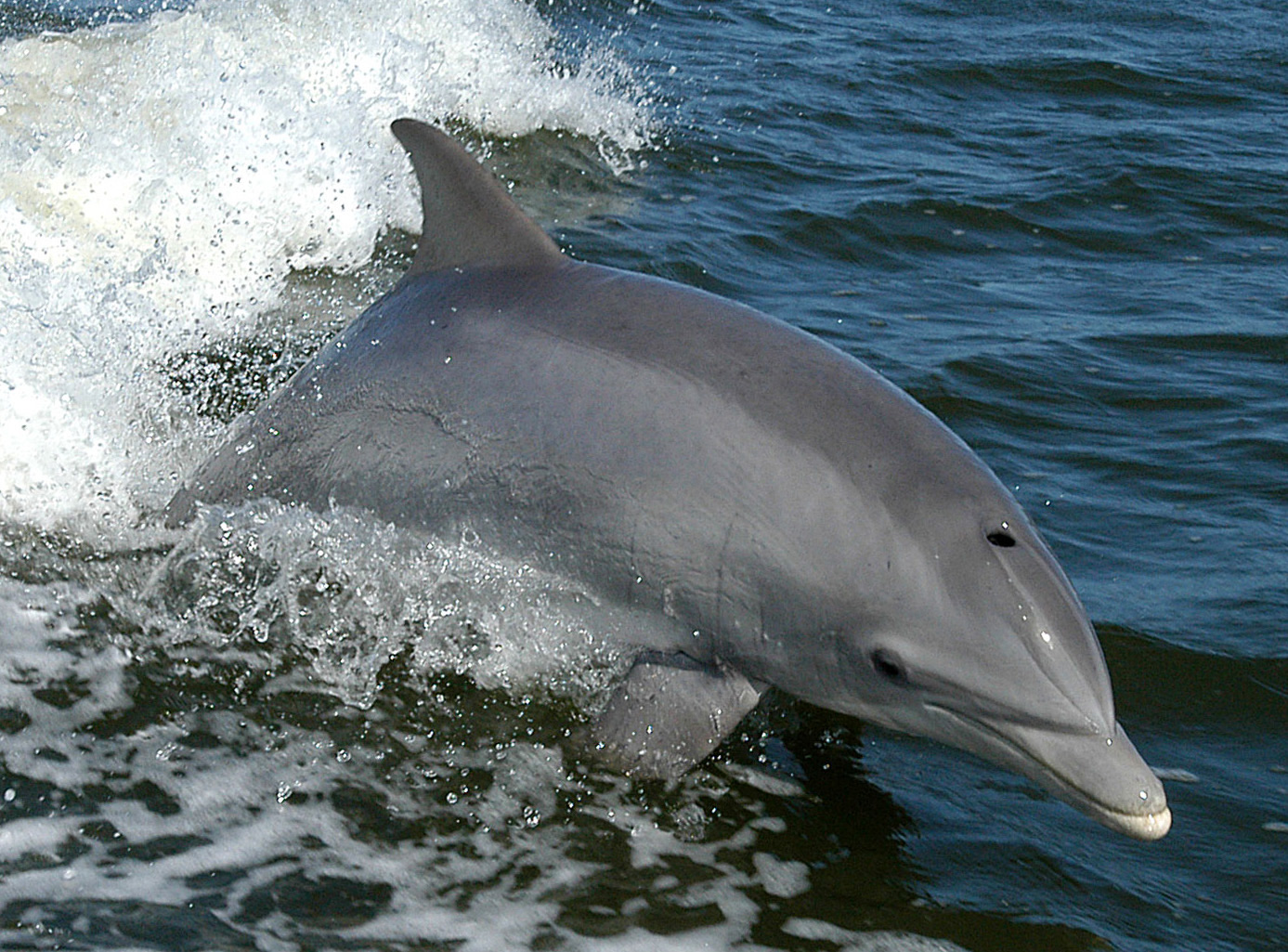
Bottlenose Dolphin
Yakınında da kaydedilmiş
"Burada haritalanan" türler, editörlerimiz tarafından bu sayfadaki kaynaklardan listelenmiştir. Sayılar, GBIF kayıt sayılarıdır: 1990'dan itibaren haritalanan konumun yaklaşık 5 km çevresinde kaydedilen ve yalnızca kataloğumuzdaki türlerle eşleştirilen gözlemlerdir. Burada nelerin görüldüğünü gösterirler; neleri göreceğinizin garantisi değildir.
Fotoğrafçılar için
Geniş açı: ★★★★☆ · Makro: ★★★☆☆ (editörlerin her çekim tarzı için bu noktanın sunduğunu 1–5 üzerinden değerlendirmesi)