Castle Rock
La profondità indica l'intervallo dalla sommità del sito al suo massimo abituale; il "brevetto consigliato" è il livello richiesto dalla maggior parte degli operatori delle principali agenzie, non una norma di legge. Correnti e visibilità cambiano ogni giorno, quindi considera tutto come intervalli di pianificazione.
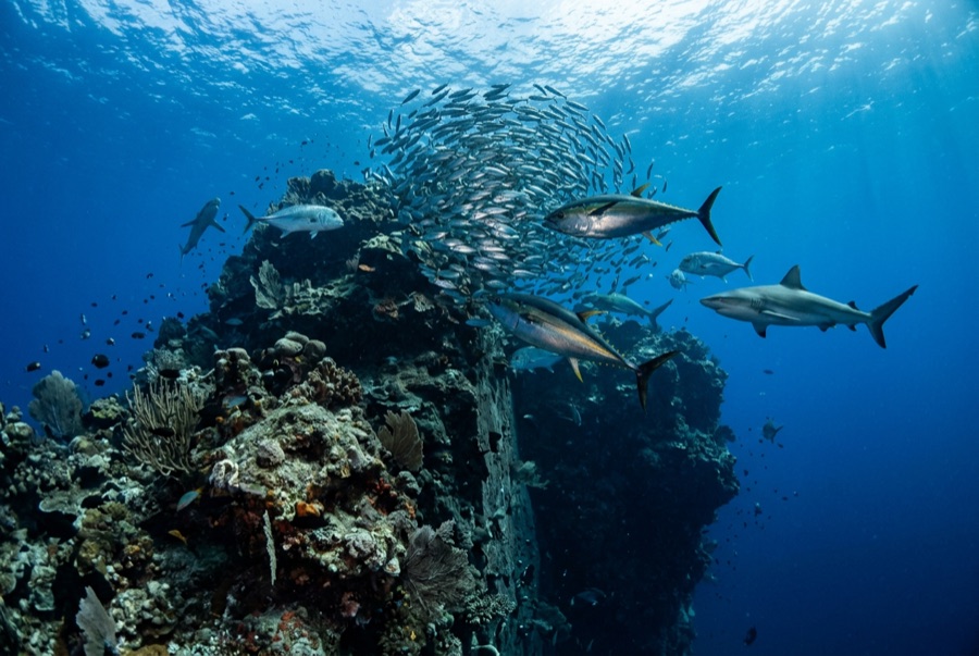
Castle Rock is northern Komodo's front-row predator dive. The seamount's summit sits just below the surface, and when the tide runs, fusiliers compress into a shivering dome over the coral while grey reef sharks, whitetips, and giant trevally take turns cutting through it. Divers hook into the rubble at the current split and watch the hunt happen at arm's length; on big days mackerel and dogtooth tuna join, and dolphins have been known to strafe the bait before moving on. The dive usually ends drifting off the mount into blue water for a mid-water safety stop. It pairs naturally with Crystal Rock nearby, and mid-year clarity makes the whole spectacle feel floodlit.
Il momento che aspettavi: Sharks hunting fusilier schools; reef-hook front seats at the current split; big pelagic cameos.
Topografia: Submerged seamount north of Gili Lawa Laut, summit a few meters down, coral slopes into deep water.
Corrente: Negative entries up-current are routine; divers drop, regroup on the flank, and hook in at the split point.
Sapere prima di tuffarsi
Pericoli: Strong current over an offshore summit, blue-water ascents, and boat traffic overhead; SMBs are non-negotiable.
Nitrox: Vale la pena qui: i profili rientrano nell'intervallo in cui l'aria arricchita (nitrox) prolunga in modo significativo il tempo di non-decompressione (con la formazione necessaria per utilizzarla).
Chi incontrerai
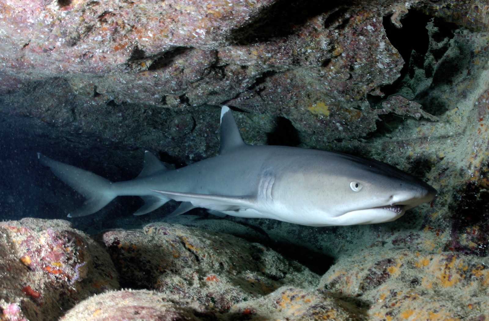
Whitetip Reef Shark
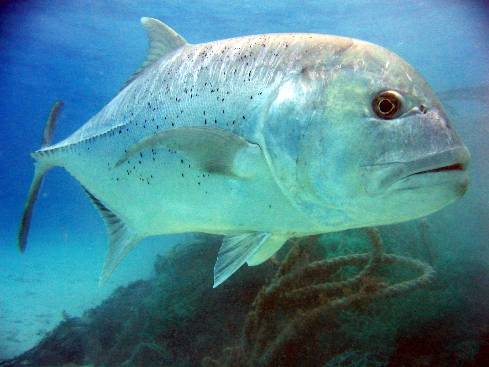
Giant Trevally
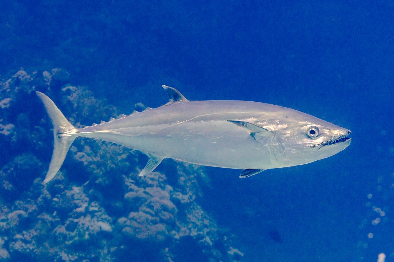
Dogtooth Tuna

Great Barracuda
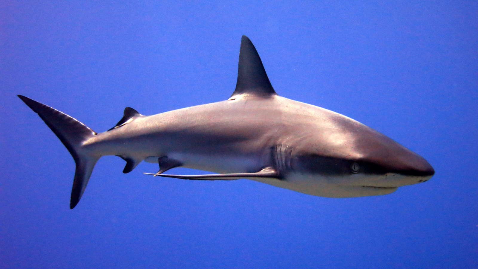
Grey Reef Shark
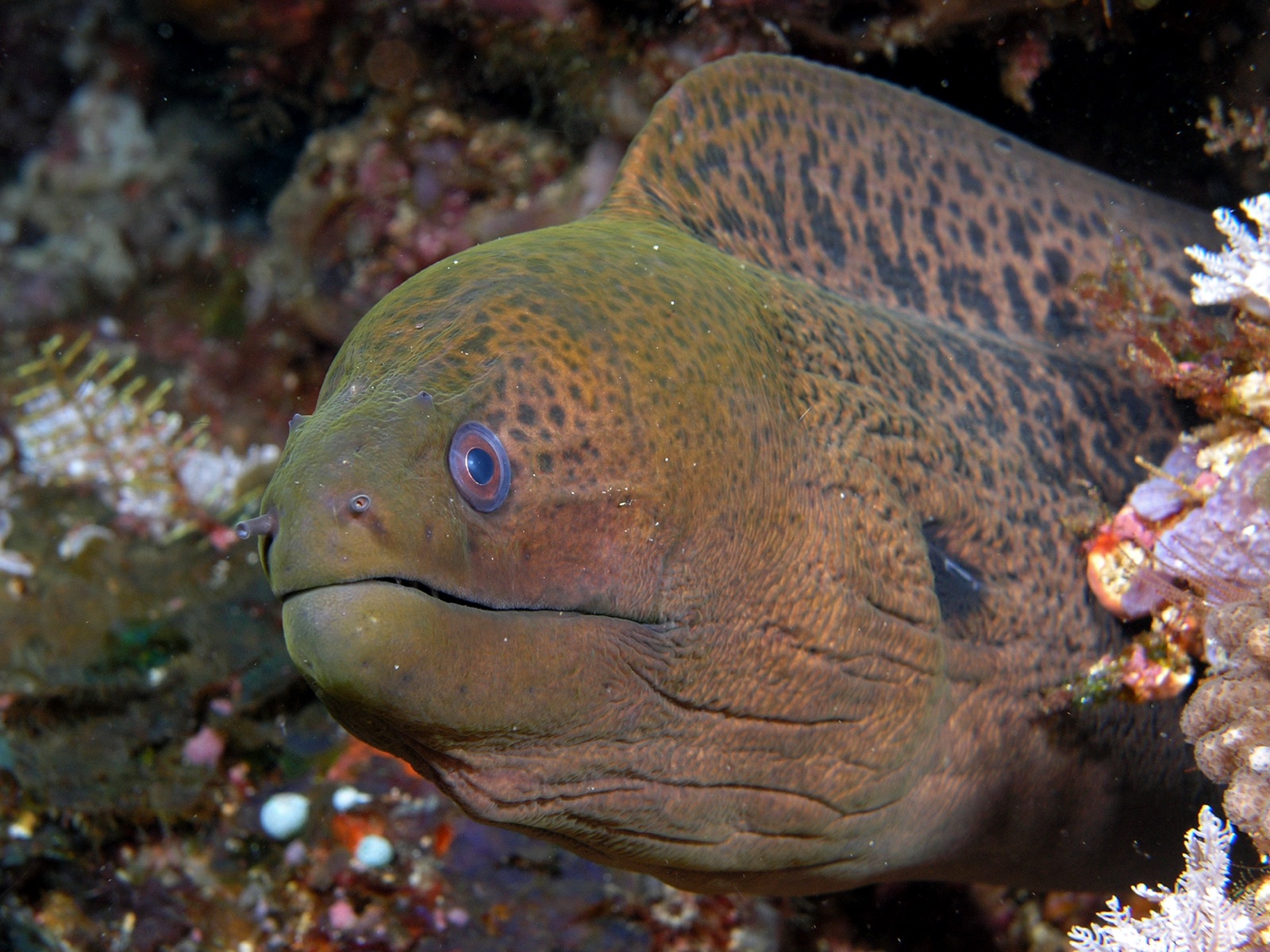
Giant Moray Eel

Nudibranchs
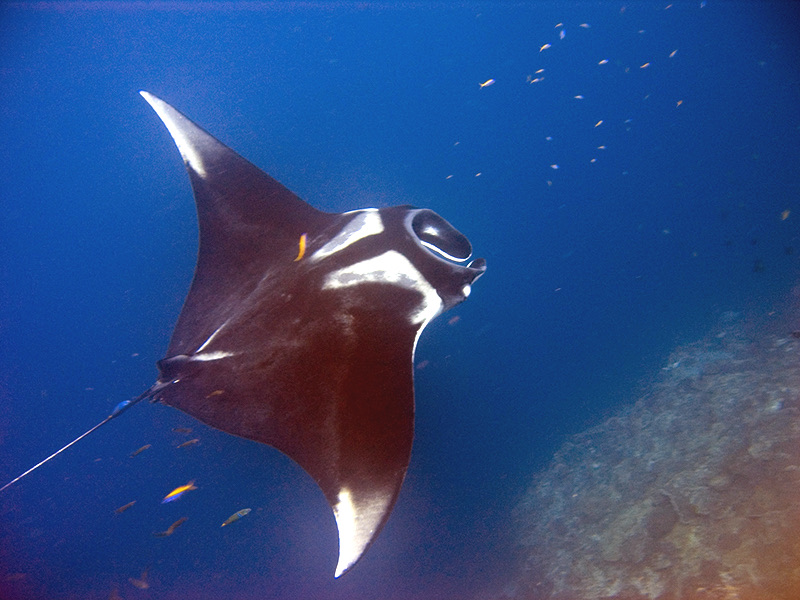
Oceanic Manta Ray
Registrate anche nelle vicinanze
Le specie "schedate qui" sono state inserite dai nostri redattori a partire dalle fonti indicate in questa pagina. I conteggi sono record di occorrenza GBIF: osservazioni registrate entro circa 5 km dalla posizione indicata in carta a partire dal 1990, confrontate esclusivamente con le specie presenti nel nostro catalogo. Mostrano ciò che è stato avvistato in quel luogo, non una garanzia di ciò che vedrete.
Per i fotografi
Grandangolo: ★★★★★ · Macro: ★★☆☆☆ (valutazione da 1 a 5 dei redattori su ciò che questo sito offre per ogni stile di ripresa)