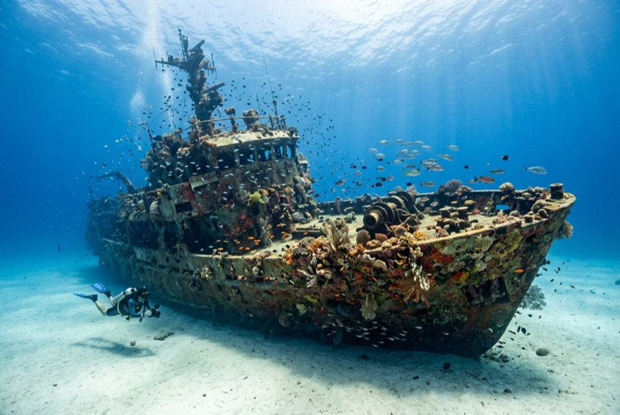
Navy Pier
水深はサイト上部から通常の最大深度までの範囲です。「推奨資格」は多くのオペレーターが求めるメインストリームエージェンシーのレベルであり、法的な義務ではありません。潮流と透明度は日々変わるため、ここに記載の数値はあくまで計画のための目安としてお使いください。
Navy Pier is a biodiversity trick played in fifteen meters of water. The pilings of the Harold E. Holt communication station's pier have grown a reef of their own, and the shade between them stacks life in layers: grey nurse sharks cruising the gloom, wobbegongs draped on crossbeams, a famously sociable giant grouper, frogfish and nudibranchs on every sponge, lionfish hovering under the deck, and schooling trevally where the light falls through. Because access is rationed by defense rules and tide, the site never feels farmed. Many divers call it the best pier dive they have done anywhere, and the argument is short.
その瞬間のために: Grey nurse sharks under the deck, resident giant grouper, wobbegongs, macro on every piling
地形: Sand and rubble beneath a working naval pier whose pilings are fully overgrown
流れ(カレント): Tidal streams sweep the pier outside slack water; dives are timed to the turn, and drifting off the structure is the main sin.
エントリー: Diveable only through the single licensed operator under Australian Defence rules: photo ID required, schedules fixed to slack tide, and access can be suspended without notice.
エントリー前に知っておこう
危険生物・リスク: Tidal current outside slack, fishing line and structure overhead, and venomous ambush fish on the rubble.
許可証&ルール: Defence-controlled site: one authorized operator, ID checks, and no independent diving.
出会える生物

Nudibranchs
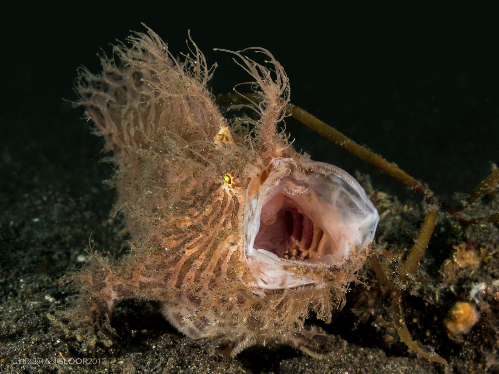
Frogfish
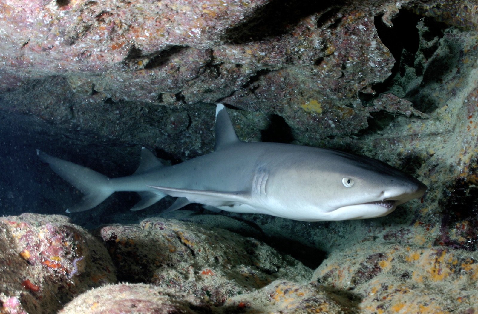
Whitetip Reef Shark

Lionfish
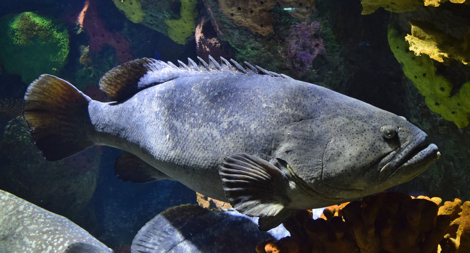
Giant Grouper
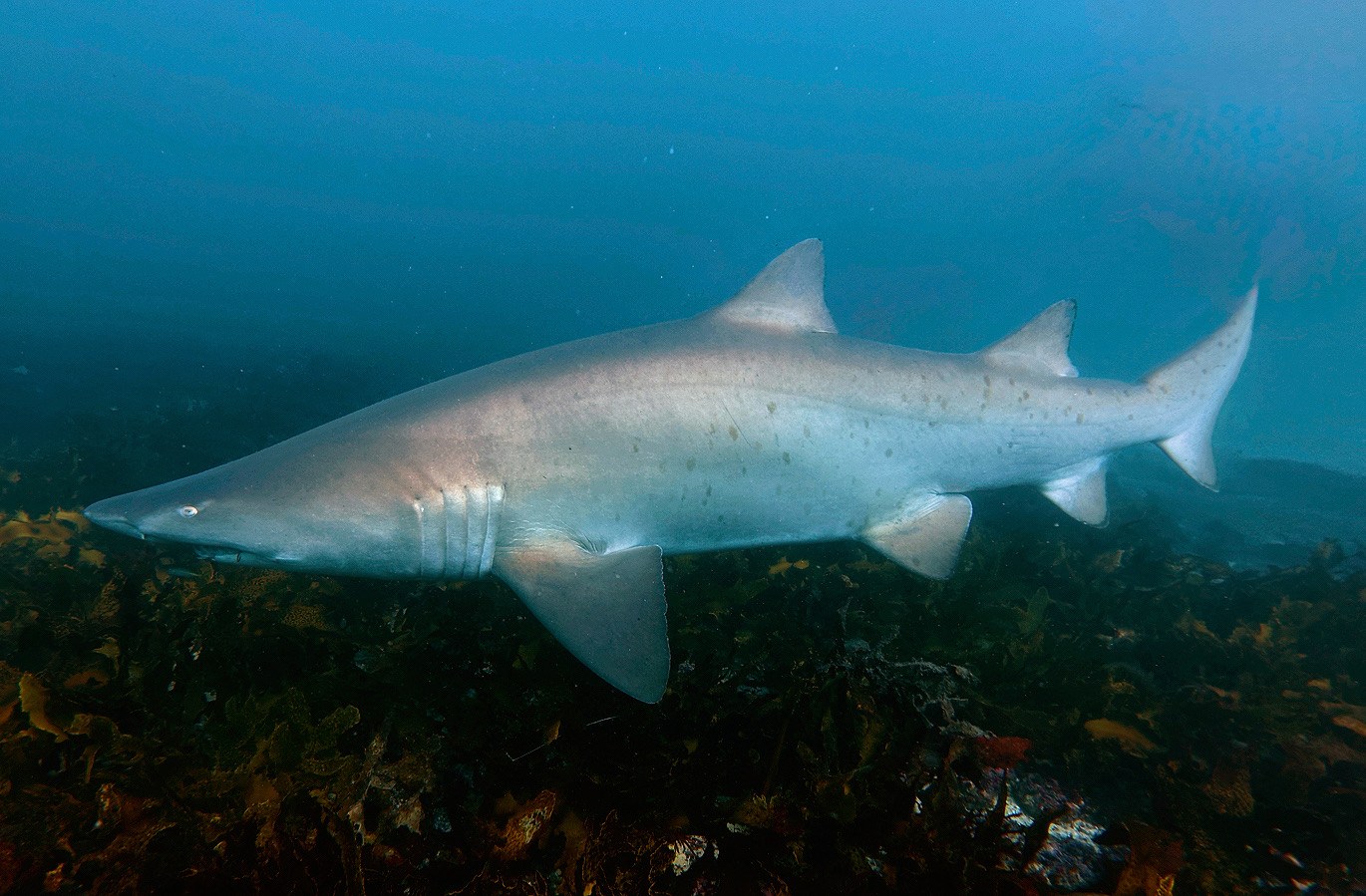
Grey Nurse Shark
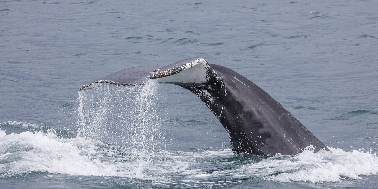
Humpback Whale
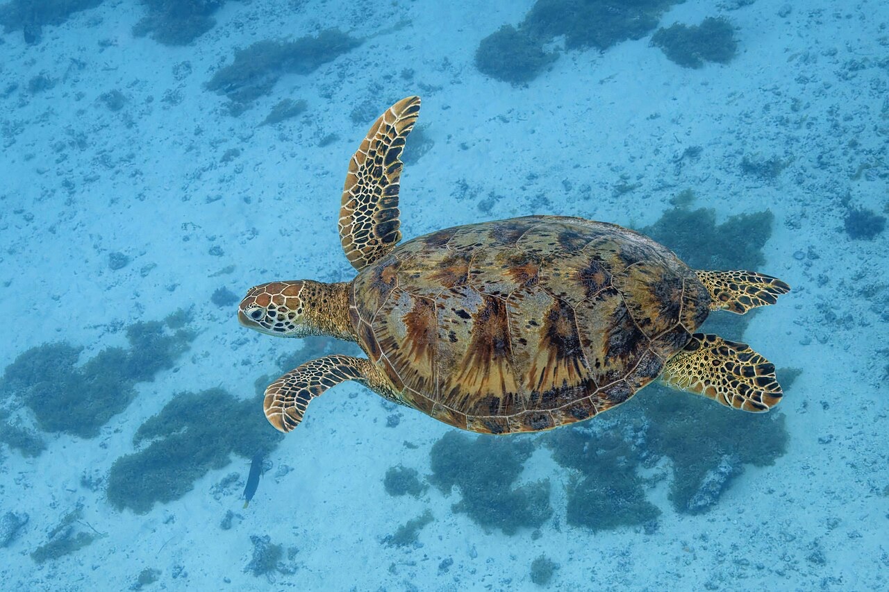
Green Sea Turtle
周辺でも記録あり
「ここに記載」の生物種は、このページの情報源をもとに編集部が登録したものです。件数はGBIFの出現記録数で、1990年以降に登録地点から約5km以内で記録された観察データのうち、当サイトのカタログ掲載種に一致したものです。そこで実際に目撃された記録であり、潜水時の遭遇を保証するものではありません。
水中フォトグラファー向け
ワイドアングル: ★★★☆☆ · マクロ: ★★★★★ (各撮影スタイルに対するこのサイトの評価(編集部による1〜5点))