Pontos de mergulho, épocas e vida marinha — pesquisados, mapeados, planeados.
Menu
Destinos Pontos de Mergulho Vida Marinha Naufrágios Notícias
Planejar uma viagem Planejador de viagem Quando mergulhar Calculadora de custos Comparações Calendário de vida marinha Temperatura da água Liveaboards Operadores & resorts Parques marinhos Câmaras hiperbáricas Mapa mundial
Regiões Austrália, Nova Zelândia e Ásia OrientalCaribe e Atlântico OcidentalEuropa, Atlântico & MediterrâneoOceano Índico e África OrientalIlhas do Pacífico & MicronésiaMar Vermelho & Médio OrienteSudeste Asiático e Triângulo de CoralAs Américas e o Pacífico Oriental Países
Aprender e Ferramentas Todos os guias Certificações Guias de equipamento Vídeos Consulte os Dados Agentes de IA API
Sobre Sobre nós Metodologia Aviso legal Contato
A sua vista
★ Guardado

Os seus destinos, sítios de mergulho e espécies favoritos — guardados neste browser.

API GATEWAY

Acesso JSON gratuito e só de leitura aos dados em cache do atlas.

Modo escuro

🧭 Vista Guiada
Novo no mergulho — profundidades, correntes, níveis de certificação? Explicamos cada termo enquanto navega, em linguagem simples. Os mesmos dados, com a ajuda integrada.

⚡ Vista de Especialista
Já sabe a diferença entre uma parede e um drift dive. Apenas os dados — claros, rápidos e compactos. Esta é a vista predefinida.

Idioma da interface
Navy Pier — illustrative image

Navy Pier

Artificial reef 8–15 m Beginner Ningaloo Reef, Australia
Ilustração gerada por IA
Bem documentado Também conhecido como: Point Murat Navy Pier
Profundidade
8–15 m / 26–49 ft
Profundidade típica
12 m / 39 ft
Visibilidade
5–15 m / 16–49 ft
Água
21–28 °C / 70–82 °F
Corrente
Moderate
Acesso
Boat
Melhores meses
Apr–Oct
Certificação recomendada
Open Water
Mergulho típico
~55 min

A profundidade indica a faixa desde o topo do ponto até o seu máximo habitual; a "certificação recomendada" é o nível das agências convencionais que os operadores costumam exigir, não uma exigência legal. Correntes e visibilidade mudam diariamente — trate tudo aqui como referências de planejamento.

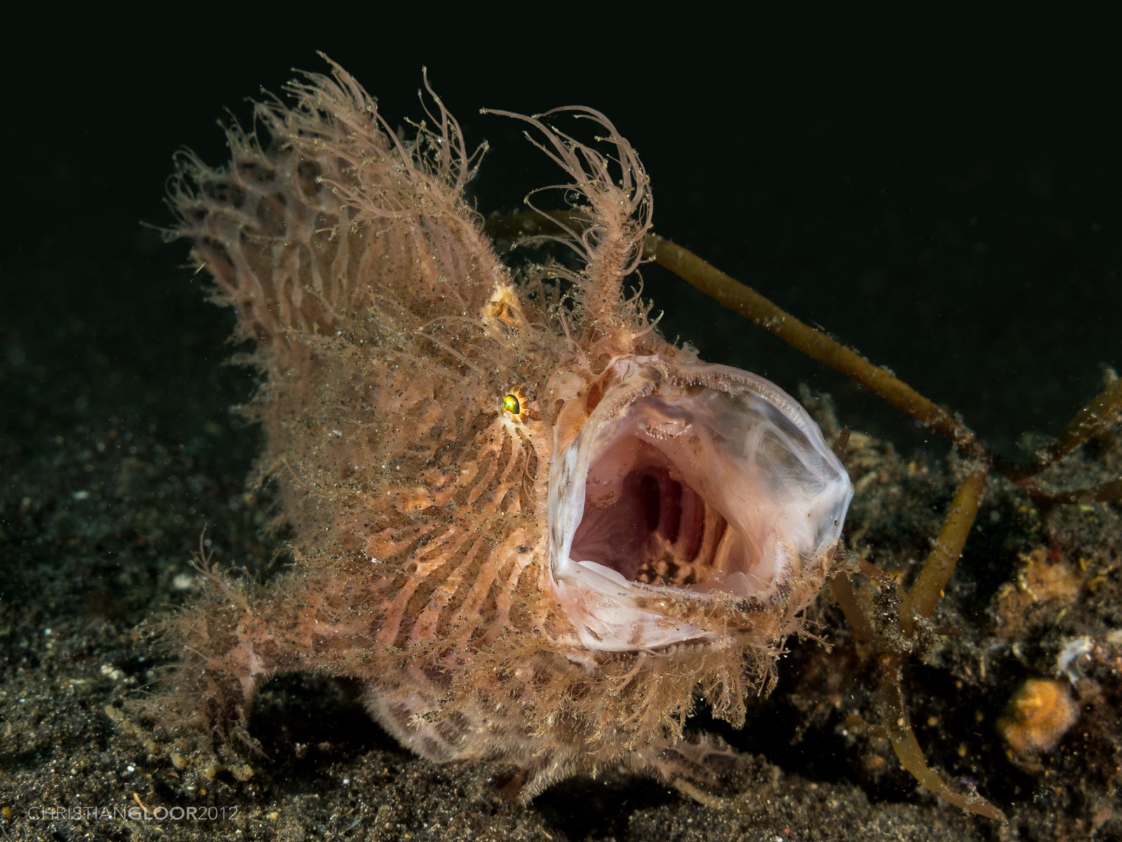
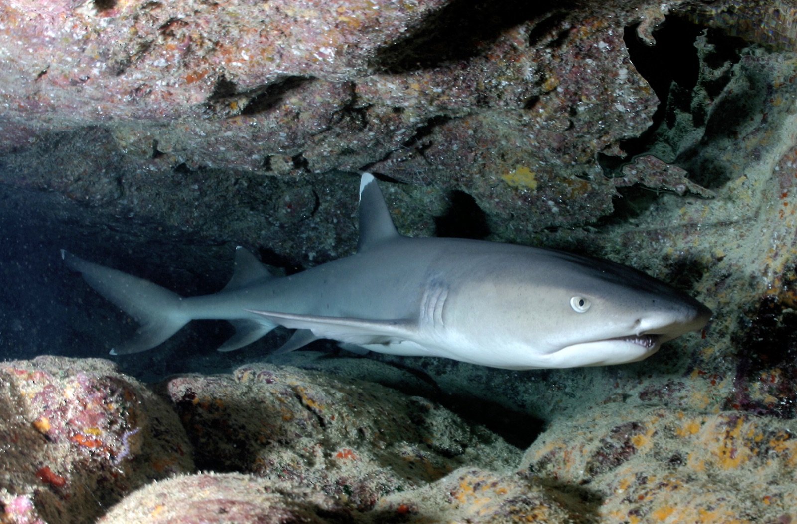
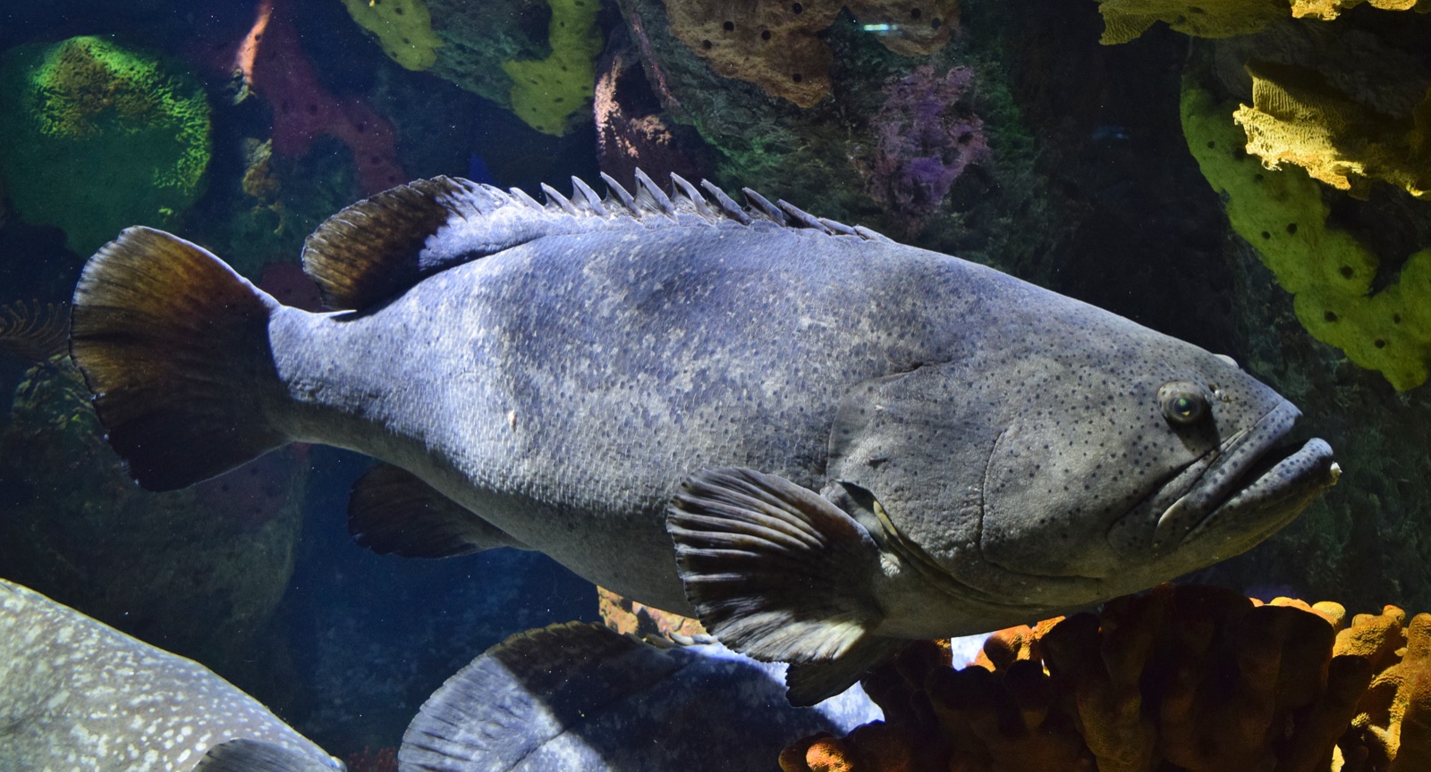
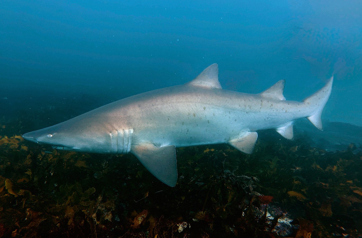
Navy Pier is a biodiversity trick played in fifteen meters of water. The pilings of the Harold E. Holt communication station's pier have grown a reef of their own, and the shade between them stacks life in layers: grey nurse sharks cruising the gloom, wobbegongs draped on crossbeams, a famously sociable giant grouper, frogfish and nudibranchs on every sponge, lionfish hovering under the deck, and schooling trevally where the light falls through. Because access is rationed by defense rules and tide, the site never feels farmed. Many divers call it the best pier dive they have done anywhere, and the argument is short.

O momento pelo qual você vem: Grey nurse sharks under the deck, resident giant grouper, wobbegongs, macro on every piling

Topografia: Sand and rubble beneath a working naval pier whose pilings are fully overgrown

Corrente: Tidal streams sweep the pier outside slack water; dives are timed to the turn, and drifting off the structure is the main sin.

Entrada: Diveable only through the single licensed operator under Australian Defence rules: photo ID required, schedules fixed to slack tide, and access can be suspended without notice.

Sabe antes de entrar na água

Perigos: Tidal current outside slack, fishing line and structure overhead, and venomous ambush fish on the rubble.

Licenças & regras: Defence-controlled site: one authorized operator, ID checks, and no independent diving.

Quem vai encontrar

Para fotógrafos

Grande angular: ★★★☆☆ · Macro: ★★★★★ — classificação de 1–5 dos editores sobre o que este sítio oferece a cada estilo de fotografia

Austrália, Nova Zelândia e Ásia Oriental

Cairns & the Ribbon ReefsNingaloo ReefCoral Sea & Osprey ReefOkinawa & the Kerama IslandsPoor Knights IslandsTownsville & the YongalaGreen IslandIzu Peninsula

Caribe e Atlântico Ocidental

BonaireCozumelRiviera Maya & the CenotesBelize Barrier ReefGrand CaymanIsla Mujeres & CancúnRoatánTiger Beach & Grand Bahama

Europa, Atlântico & Mediterrâneo

Malta & GozoSilfra & IcelandThe AzoresCanary IslandsLarnaca & the ZenobiaScapa FlowArctic NorwayMadeira

Oceano Índico e África Oriental

North & South Malé AtollsAri AtollBaa Atoll & Hanifaru BayAliwal Shoal & UmkomaasMafia IslandMauritiusSeychellesSodwana Bay

Ilhas do Pacífico & Micronésia

PalauChuuk (Truk) LagoonFakaravaKona, HawaiʻiRangiroaTaveuni & Rainbow ReefBeqa Lagoon & Pacific HarbourEspiritu Santo

Mar Vermelho & Médio Oriente

Sharm El Sheikh & Ras MohammedBrothers, Daedalus & St John'sDahabHurghada & El GounaMarsa Alam & the Deep SouthAqabaDaymaniyat IslandsMusandam Peninsula

Sudeste Asiático e Triângulo de Coral

Bali & Nusa PenidaKomodoRaja AmpatSipadan & MabulAnilaoCoronKoh TaoLembeh Strait

As Américas e o Pacífico Oriental

Galápagos IslandsCocos IslandFlorida KeysSea of Cortez & Cabo PulmoSocorro & the RevillagigedosBritish ColumbiaCalifornia Channel IslandsCosta Rica Pacific Coast