Dive sites, seasons and marine life — researched, mapped, planned.
Menu
Destinations Dive Sites Marine Life Wrecks News
Plan a trip Trip planner When to dive Cost calculator Comparisons Marine-life calendar Water temperature Liveaboards Operators & resorts Marine parks Hyperbaric chambers World map
Regions Australia, New Zealand & East AsiaCaribbean & Western AtlanticEurope, Atlantic & MediterraneanIndian Ocean & East AfricaPacific Islands & MicronesiaRed Sea & Middle EastSoutheast Asia & Coral TriangleThe Americas & Eastern Pacific Countries
Learn & Tools All guides Certifications Gear guides Videos Ask the Data AI Agents API
About About us Methodology Disclaimer Contact
Your view
★ Saved

Your starred destinations, sites and species — stored in this browser.

API GATEWAY

Free read-only JSON access to the atlas's cached data.

Dark mode

🧭 Guided View
New to diving — depths, currents, certification levels? We explain every term as you browse, in plain English. Same data, with the help built in.

⚡ Expert View
You already know the difference between a wall and a drift. Just the data — clean, fast and compact. This is the default view.

Interface language
YO-257 — illustrative image

YO-257

Wreck · Artificial reef 21–34 m Intermediate Oʻahu, United States
AI-generated illustration
Well documented
Depth
21–34 m / 69–112 ft
Typical depth
26 m / 85 ft
Visibility
15–30 m / 49–98 ft
Water
24–27 °C / 75–81 °F
Current
Mild
Access
Boat
Recommended cert
Advanced Open Water
Typical dive
~40 min

Depth is the range from the top of the site to its usual maximum; "recommended cert" is the mainstream-agency level operators usually ask for, not a legal rule. Currents and visibility change daily — treat everything here as planning ranges.

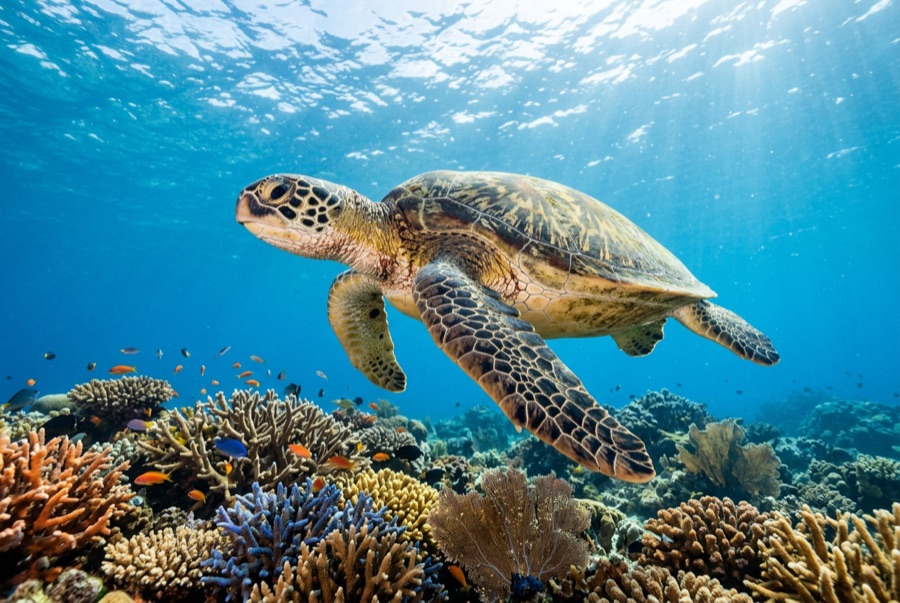
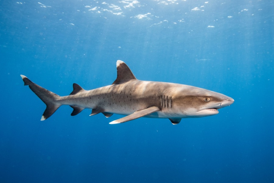
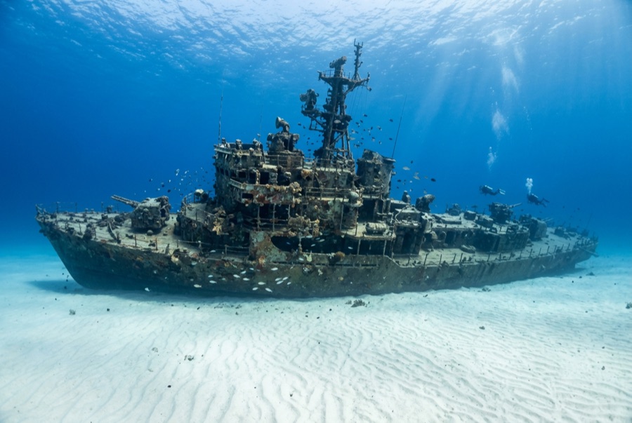
The YO-257 spent decades ferrying fuel for the Navy before Atlantis Submarines sank her off Waikīkī in 1989 to give their passengers something to look at, and she has repaid the investment as Oʻahu's flagship dive. Upright and tidy on the sand, she has swim-through cutouts at deck level, railings dressed in colorful encrusting growth, and a citizenry of green turtles that rest on her plating between feeding runs. Eagle rays cross the sand, whitetips patrol the scuppers, and every so often the 64-passenger submarine hums past like public transit through your dive. Depth keeps bottom times honest; the mooring makes navigation trivial.

The moment you come for: Turtles bedded on the decks; cut-through swim lanes; the occasional passing tourist submarine.

Topography: A 53-meter navy yard oiler upright on flat sand at about 34 m

Current: Longshore current sweeps the sand flat some days; use the mooring line both directions.

Entry: A short charter run off Waikīkī; boats moor over the wreck and the neighboring San Pedro sits within swimming range for a two-wreck profile.

This site is a charted wreck YO-257 — US Navy self-propelled yard oiler, sunk 1989. Full wreck history and dive guide →

Know before you splash

Hazards: Depth for newer divers; current across the open sand; watch overhead for the submarine's scheduled passes.

Conservation: An artificial reef doing its job — take only photographs, and give resting turtles the legally required distance.

Nitrox: Worth it here — profiles sit in the range where enriched air meaningfully extends no-stop time (with the training to use it).

Who you'll meet
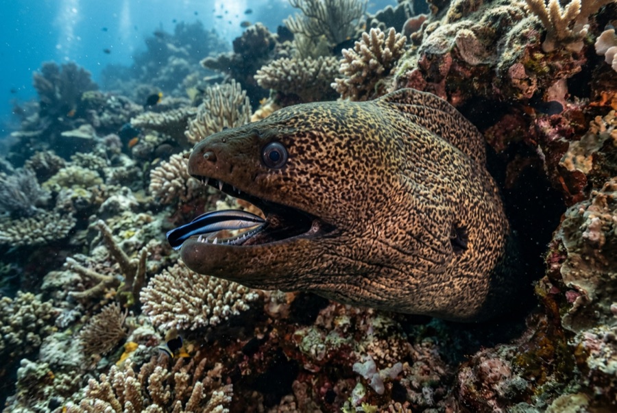
For photographers

Wide angle: ★★★★★ · Macro: ★★☆☆☆ — editors' 1–5 rating of what this site gives each style of shooting

Australia, New Zealand & East Asia

Cairns & the Ribbon ReefsNingaloo ReefCoral Sea & Osprey ReefOkinawa & the Kerama IslandsPoor Knights IslandsTownsville & the YongalaGreen IslandIzu Peninsula

Caribbean & Western Atlantic

BonaireCozumelRiviera Maya & the CenotesBelize Barrier ReefGrand CaymanIsla Mujeres & CancúnRoatánTiger Beach & Grand Bahama

Europe, Atlantic & Mediterranean

Malta & GozoSilfra & IcelandThe AzoresCanary IslandsLarnaca & the ZenobiaScapa FlowArctic NorwayMadeira

Indian Ocean & East Africa

North & South Malé AtollsAri AtollBaa Atoll & Hanifaru BayAliwal Shoal & UmkomaasMafia IslandMauritiusSeychellesSodwana Bay

Pacific Islands & Micronesia

PalauChuuk (Truk) LagoonFakaravaKona, HawaiʻiRangiroaTaveuni & Rainbow ReefBeqa Lagoon & Pacific HarbourEspiritu Santo

Red Sea & Middle East

Sharm El Sheikh & Ras MohammedBrothers, Daedalus & St John'sDahabHurghada & El GounaMarsa Alam & the Deep SouthAqabaDaymaniyat IslandsMusandam Peninsula

Southeast Asia & Coral Triangle

Bali & Nusa PenidaKomodoRaja AmpatSipadan & MabulAnilaoCoronKoh TaoLembeh Strait

The Americas & Eastern Pacific

Galápagos IslandsCocos IslandFlorida KeysSea of Cortez & Cabo PulmoSocorro & the RevillagigedosBritish ColumbiaCalifornia Channel IslandsCosta Rica Pacific Coast