Puntos de buceo, temporadas y vida marina — investigados, cartografiados, planificados.
Menú
Destinos Puntos de buceo Vida marina Pecios Noticias
Planifica un viaje Planificador de viajes Cuándo bucear Calculadora de costes Comparativas Calendario de fauna marina Temperatura del agua Liveaboards Operadores y resorts Parques marinos Cámaras hiperbáricas Mapa mundial
Regiones Australia, Nueva Zelanda y Asia OrientalCaribe y Atlántico occidentalEuropa, Atlántico y MediterráneoOcéano Índico y África OrientalIslas del Pacífico y MicronesiaMar Rojo y Oriente MedioSudeste Asiático y el Triángulo del CoralLas Américas y el Pacífico Oriental Países
Aprender y herramientas Todas las guías Certificaciones Guías de equipo Vídeos Consulta los datos Agentes de IA API
Acerca de Quiénes somos Metodología Aviso legal Contacto
Tu vista
★ Guardado

Tus destinos, sitios y especies favoritos — guardados en este navegador.

API GATEWAY

Acceso JSON gratuito de solo lectura a los datos en caché del atlas.

Modo oscuro

🧭 Vista guiada
¿Nuevo en el buceo? ¿Profundidades, corrientes, niveles de certificación? Explicamos cada término mientras navegas, en un lenguaje claro. Los mismos datos, con la ayuda integrada.

⚡ Vista experta
Ya conoces la diferencia entre una pared y un drift dive. Solo los datos — claros, rápidos y concisos. Esta es la vista predeterminada.

Idioma de la interfaz
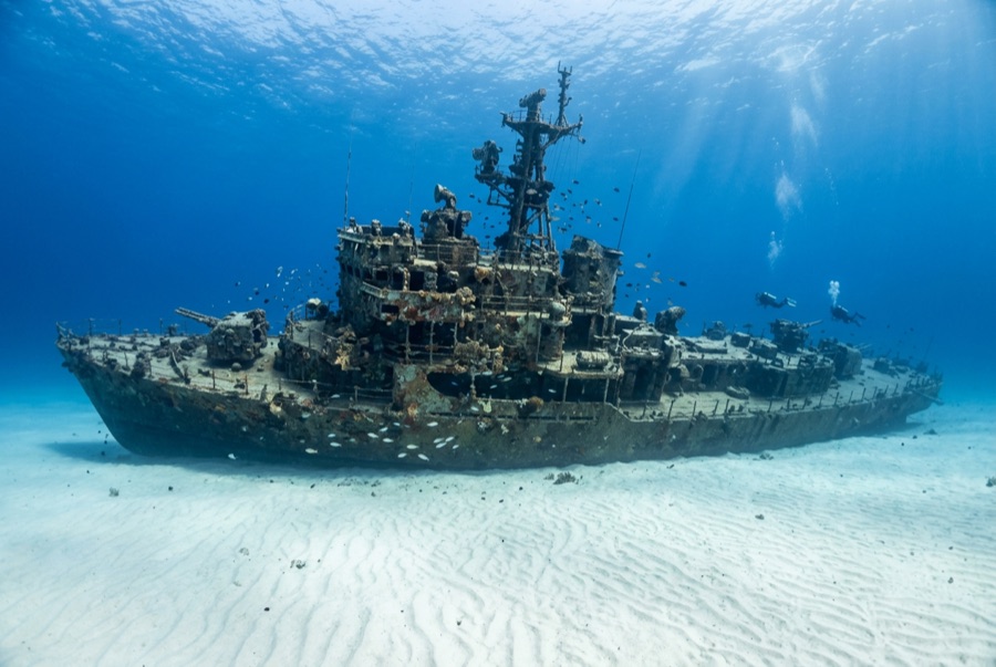
YO-257 — illustrative image

YO-257

Wreck · Artificial reef 21–34 m Intermediate Oʻahu, United States
Ilustración generada por IA
Bien documentado
Profundidad
21–34 m / 69–112 ft
Profundidad típica
26 m / 85 ft
Visibilidad
15–30 m / 49–98 ft
Agua
24–27 °C / 75–81 °F
Corriente
Mild
Acceso
Boat
Certificación recomendada
Advanced Open Water
Inmersión típica
~40 min

La profundidad indica el rango desde la parte superior del punto hasta su máximo habitual; la "certificación recomendada" es el nivel que los operadores suelen exigir según las principales agencias, no una norma legal. Las corrientes y la visibilidad cambian a diario — considera todo esto como rangos de planificación.

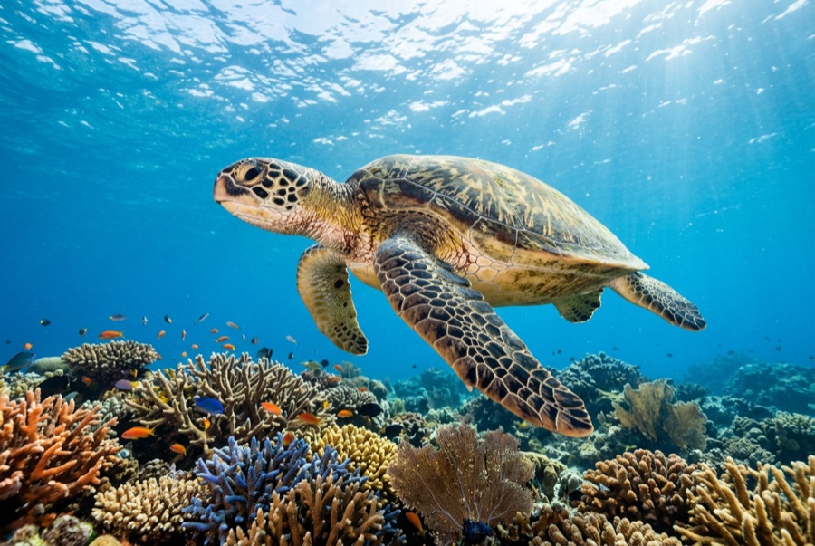
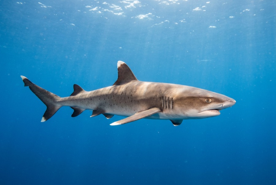
The YO-257 spent decades ferrying fuel for the Navy before Atlantis Submarines sank her off Waikīkī in 1989 to give their passengers something to look at, and she has repaid the investment as Oʻahu's flagship dive. Upright and tidy on the sand, she has swim-through cutouts at deck level, railings dressed in colorful encrusting growth, and a citizenry of green turtles that rest on her plating between feeding runs. Eagle rays cross the sand, whitetips patrol the scuppers, and every so often the 64-passenger submarine hums past like public transit through your dive. Depth keeps bottom times honest; the mooring makes navigation trivial.

El momento por el que vienes: Turtles bedded on the decks; cut-through swim lanes; the occasional passing tourist submarine.

Topografía: A 53-meter navy yard oiler upright on flat sand at about 34 m

Corriente: Longshore current sweeps the sand flat some days; use the mooring line both directions.

Entrada: A short charter run off Waikīkī; boats moor over the wreck and the neighboring San Pedro sits within swimming range for a two-wreck profile.

Este sitio es un pecio cartografiado YO-257 — US Navy self-propelled yard oiler, hundido 1989. Historia completa del pecio y guía de buceo →

Lo que debes saber antes de tirarte al agua

Riesgos: Depth for newer divers; current across the open sand; watch overhead for the submarine's scheduled passes.

Conservación: An artificial reef doing its job — take only photographs, and give resting turtles the legally required distance.

Nitrox: Vale la pena aquí — los perfiles se sitúan en el rango donde el aire enriquecido (nitrox) amplía de forma significativa el tiempo sin descompresión (con la formación necesaria para usarlo).

A quién encontrarás
Para fotógrafos

Gran angular: ★★★★★ · Macro: ★★☆☆☆ — valoración de 1 a 5 de los editores sobre lo que ofrece este sitio para cada estilo de fotografía

Australia, Nueva Zelanda y Asia Oriental

Cairns & the Ribbon ReefsNingaloo ReefCoral Sea & Osprey ReefOkinawa & the Kerama IslandsPoor Knights IslandsTownsville & the YongalaGreen IslandIzu Peninsula

Caribe y Atlántico occidental

BonaireCozumelRiviera Maya & the CenotesBelize Barrier ReefGrand CaymanIsla Mujeres & CancúnRoatánTiger Beach & Grand Bahama

Europa, Atlántico y Mediterráneo

Malta & GozoSilfra & IcelandThe AzoresCanary IslandsLarnaca & the ZenobiaScapa FlowArctic NorwayMadeira

Océano Índico y África Oriental

North & South Malé AtollsAri AtollBaa Atoll & Hanifaru BayAliwal Shoal & UmkomaasMafia IslandMauritiusSeychellesSodwana Bay

Islas del Pacífico y Micronesia

PalauChuuk (Truk) LagoonFakaravaKona, HawaiʻiRangiroaTaveuni & Rainbow ReefBeqa Lagoon & Pacific HarbourEspiritu Santo

Mar Rojo y Oriente Medio

Sharm El Sheikh & Ras MohammedBrothers, Daedalus & St John'sDahabHurghada & El GounaMarsa Alam & the Deep SouthAqabaDaymaniyat IslandsMusandam Peninsula

Sudeste Asiático y el Triángulo del Coral

Bali & Nusa PenidaKomodoRaja AmpatSipadan & MabulAnilaoCoronKoh TaoLembeh Strait

Las Américas y el Pacífico Oriental

Galápagos IslandsCocos IslandFlorida KeysSea of Cortez & Cabo PulmoSocorro & the RevillagigedosBritish ColumbiaCalifornia Channel IslandsCosta Rica Pacific Coast