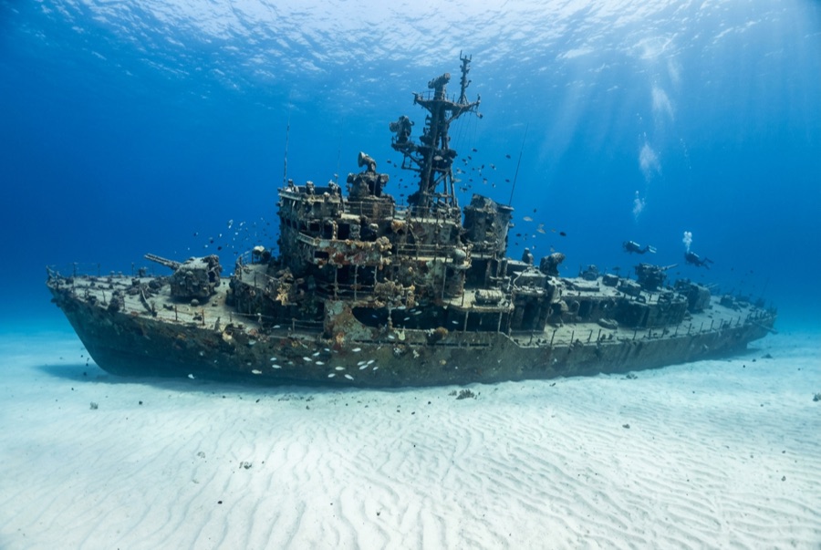
YO-257
La profondeur correspond à la plage allant du sommet du site jusqu'à son maximum habituel ; le « niveau recommandé » est le niveau demandé en général par les opérateurs auprès des grandes agences, pas une règle légale. Les courants et la visibilité varient chaque jour, traitez donc tout cela comme des plages indicatives de planification.
The YO-257 spent decades ferrying fuel for the Navy before Atlantis Submarines sank her off Waikīkī in 1989 to give their passengers something to look at, and she has repaid the investment as Oʻahu's flagship dive. Upright and tidy on the sand, she has swim-through cutouts at deck level, railings dressed in colorful encrusting growth, and a citizenry of green turtles that rest on her plating between feeding runs. Eagle rays cross the sand, whitetips patrol the scuppers, and every so often the 64-passenger submarine hums past like public transit through your dive. Depth keeps bottom times honest; the mooring makes navigation trivial.
Le moment pour lequel vous venez: Turtles bedded on the decks; cut-through swim lanes; the occasional passing tourist submarine.
Topographie: A 53-meter navy yard oiler upright on flat sand at about 34 m
Courant: Longshore current sweeps the sand flat some days; use the mooring line both directions.
Entrée: A short charter run off Waikīkī; boats moor over the wreck and the neighboring San Pedro sits within swimming range for a two-wreck profile.
À savoir avant de plonger
Dangers: Depth for newer divers; current across the open sand; watch overhead for the submarine's scheduled passes.
Conservation: An artificial reef doing its job: take only photographs, and give resting turtles the legally required distance.
Nitrox: Pertinent ici : les profils se situent dans la plage où le nitrox prolonge significativement le temps sans palier (avec la formation pour l'utiliser).
Qui vous croiserez
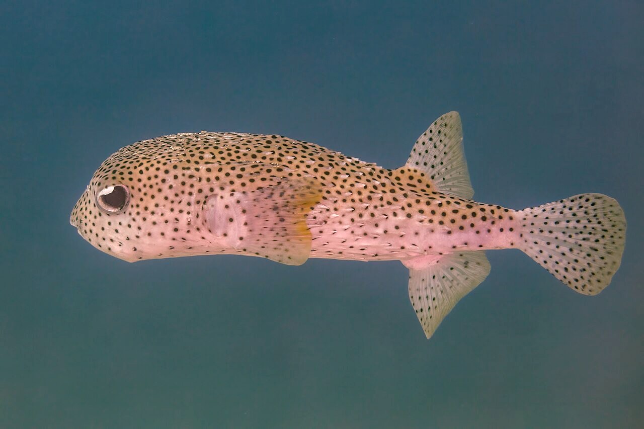
Porcupinefish
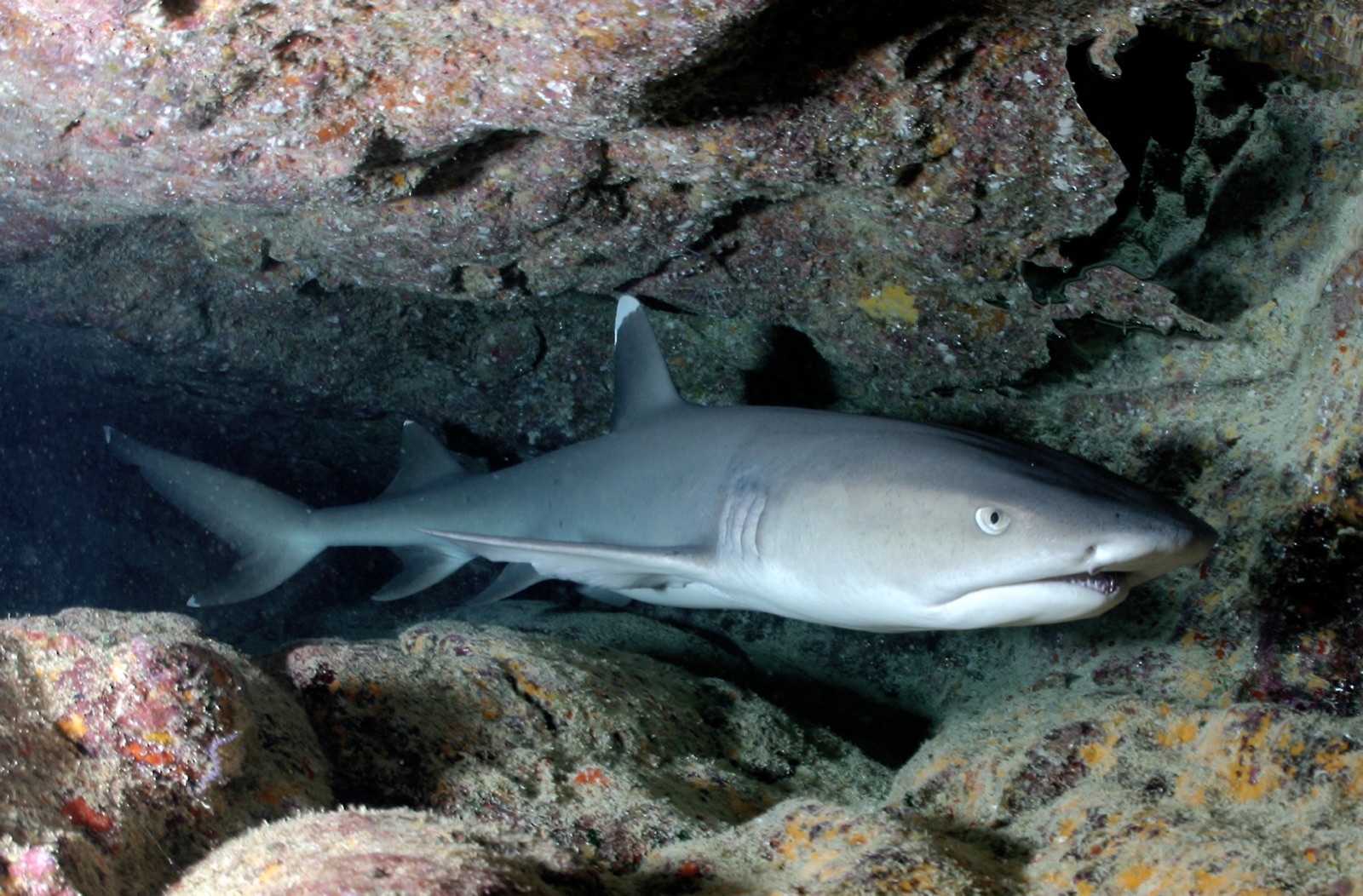
Whitetip Reef Shark
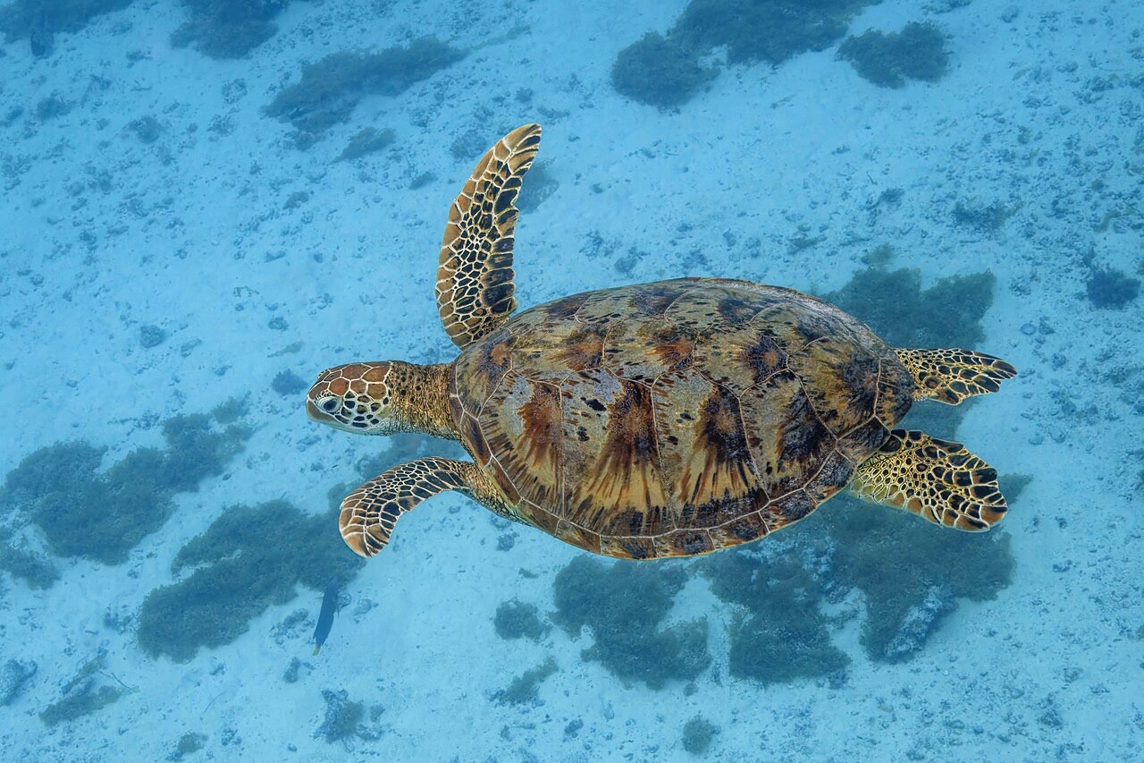
Green Sea Turtle
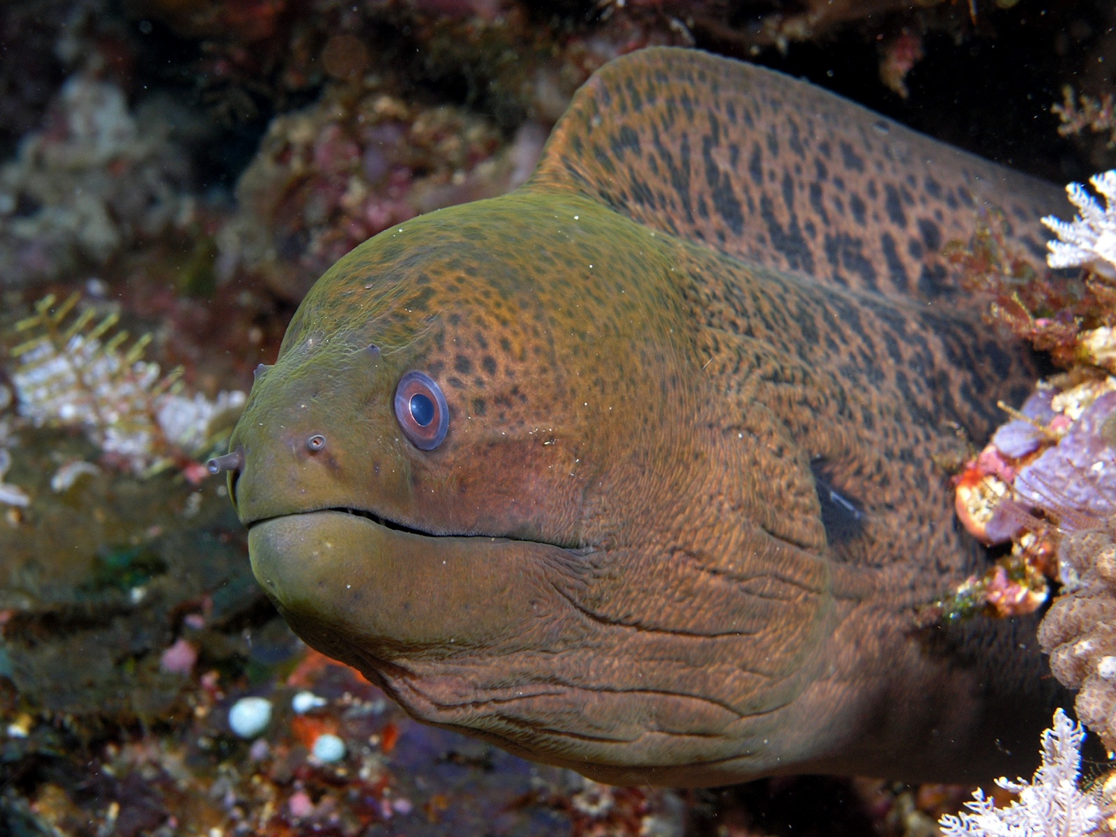
Giant Moray Eel
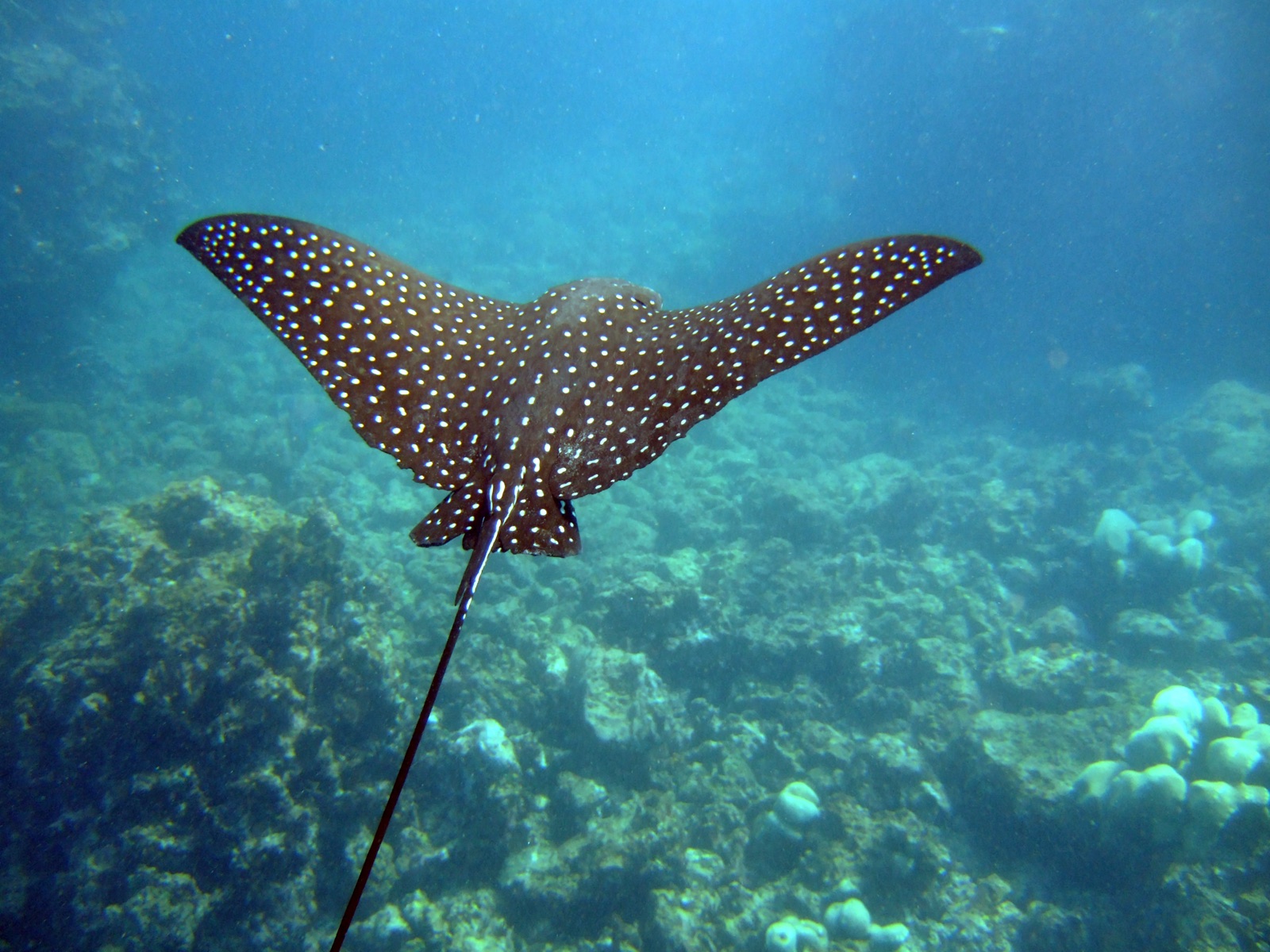
Spotted Eagle Ray

Nudibranchs
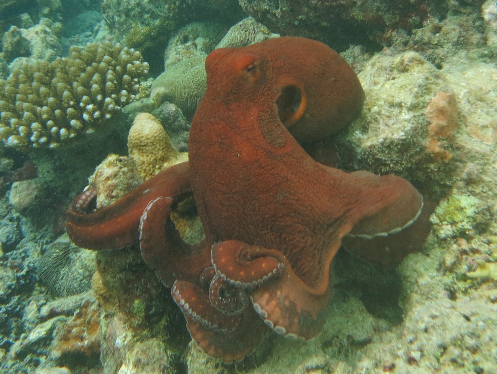
Common Reef (Day) Octopus
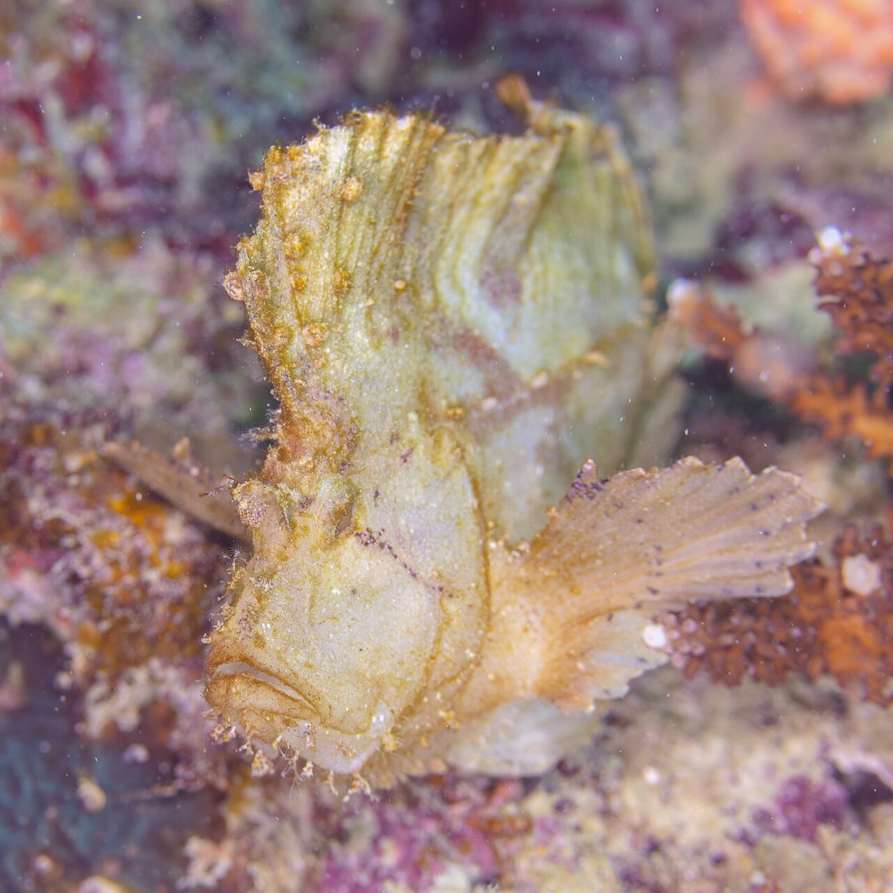
Leaf Scorpionfish
Également observé à proximité
Les espèces « cartographiées ici » ont été répertoriées par nos éditeurs à partir des sources indiquées sur cette page. Les comptages correspondent aux occurrences GBIF : observations enregistrées dans un rayon d'environ 5 km autour de la position cartographiée depuis 1990, comparées uniquement aux espèces de notre catalogue. Ils indiquent ce qui a été observé à cet endroit, sans garantir ce que vous y verrez.
Pour les photographes
Grand angle: ★★★★★ · Macro: ★★☆☆☆ (note 1–5 des éditeurs sur ce que ce site offre à chaque style de prise de vue)