Shark Fin Reef
La profondità indica l'intervallo dalla sommità del sito al suo massimo abituale; il "brevetto consigliato" è il livello richiesto dalla maggior parte degli operatori delle principali agenzie, non una norma di legge. Correnti e visibilità cambiano ogni giorno, quindi considera tutto come intervalli di pianificazione.
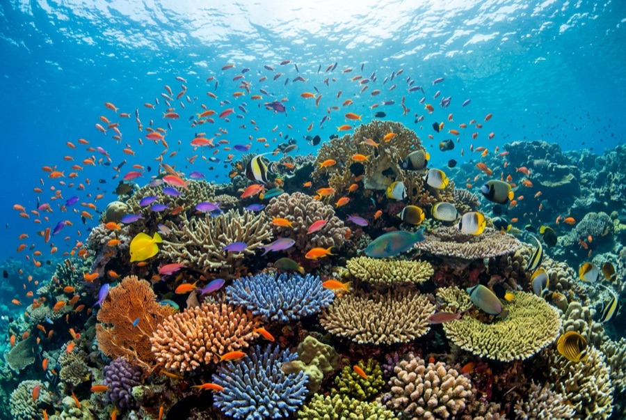
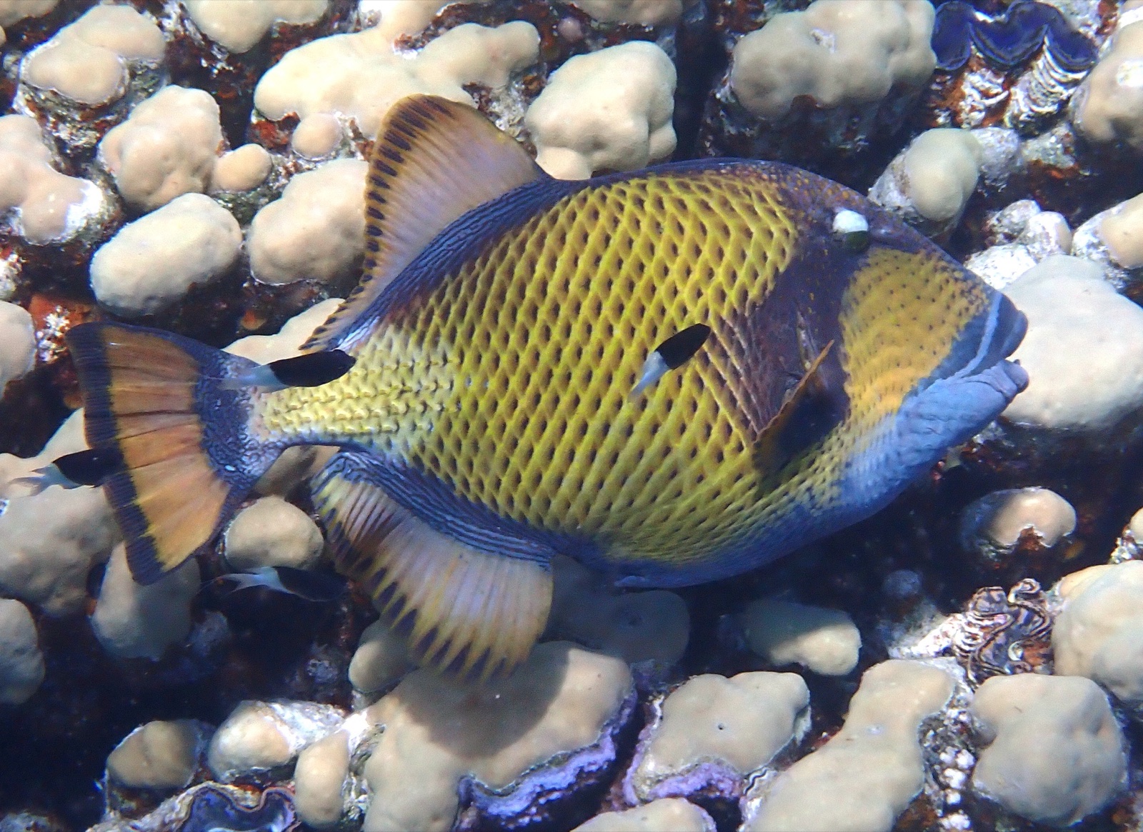
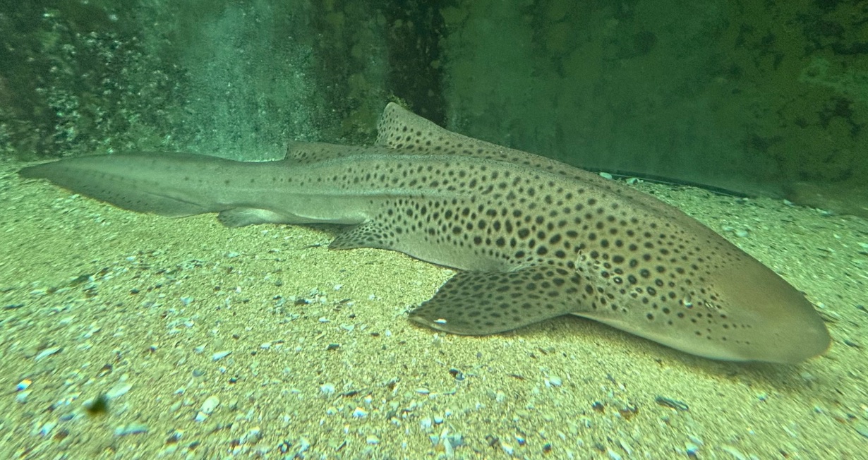
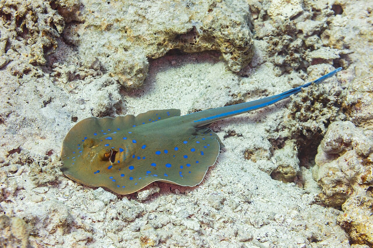
Shark Fin Reef runs like a half-submerged spine, its exposed crest suggesting the fin that named it, with two long faces of tilted granite slab sliding into sand past 30 m. The eastern side stacks hard-coral gardens and sweeping slab scenery; the west goes steeper and moodier. Blue-spotted ribbontail rays shuffle under ledges, garden eels stipple the deep sand, titan triggerfish excavate with their usual self-importance, and this southern corner remains one of the archipelago's better bets for a zebra shark flat out on the bottom. An unflashy, spacious dive that shows the Similans' scale without demanding anything exotic in return.
Il momento che aspettavi: Kilometer-scale granite spine, rays and garden eels on the sand, southern-sector calm
Topografia: Tilted granite slabs and coral gardens dropping to sand
Corrente: Flow runs the length of the ridge and the dive becomes a one-way drift along whichever face is in the lee.
Entrata: A long granite ridge southeast of island 3, its crest breaking the surface; often the first dive of northbound itineraries.
Sapere prima di tuffarsi
Pericoli: Length of the ridge can string groups out in current; agree on the drift plan before rolling.
Conservazione: Park rules apply; give nesting titan triggerfish their cone of territory in the warm months.
Nitrox: Vale la pena qui: i profili rientrano nell'intervallo in cui l'aria arricchita (nitrox) prolunga in modo significativo il tempo di non-decompressione (con la formazione necessaria per utilizzarla).
Chi incontrerai
Titan Triggerfish
Leopard (Zebra) Shark
Blue-Spotted Ribbontail Ray
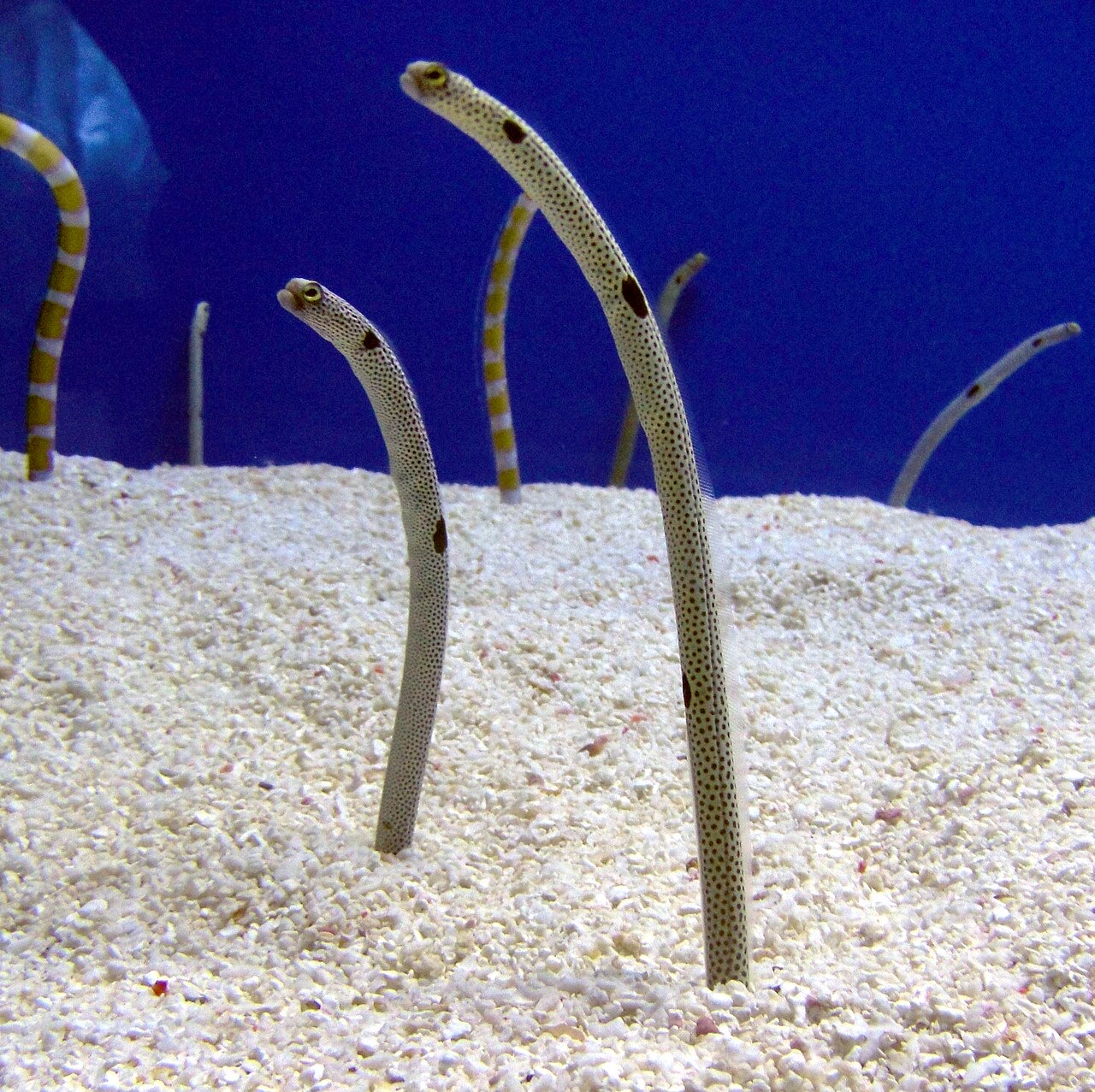
Garden Eel
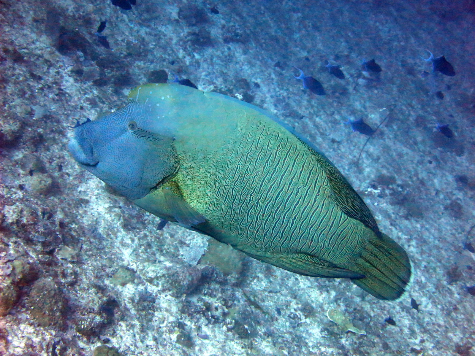
Napoleon (Humphead) Wrasse

Nudibranchs

Clownfish & Anemonefish
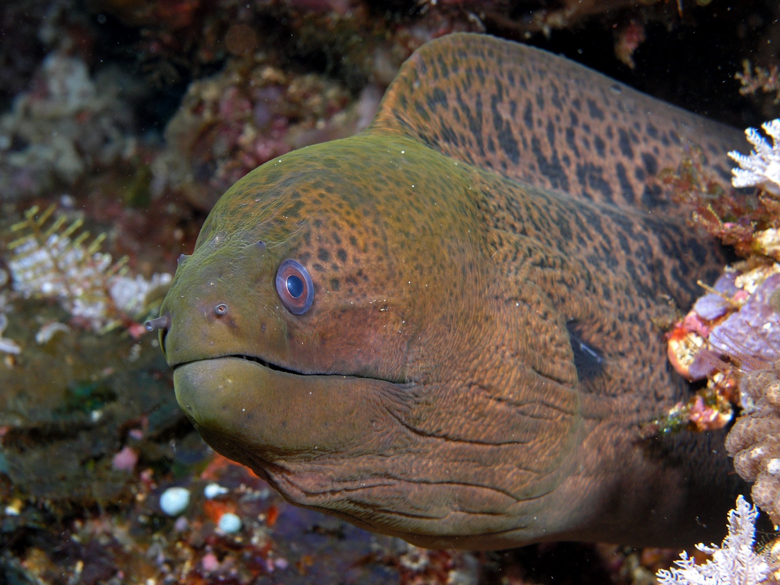
Giant Moray Eel
Registrate anche nelle vicinanze
Le specie "schedate qui" sono state inserite dai nostri redattori a partire dalle fonti indicate in questa pagina. I conteggi sono record di occorrenza GBIF: osservazioni registrate entro circa 5 km dalla posizione indicata in carta a partire dal 1990, confrontate esclusivamente con le specie presenti nel nostro catalogo. Mostrano ciò che è stato avvistato in quel luogo, non una garanzia di ciò che vedrete.
Per i fotografi
Grandangolo: ★★★★☆ · Macro: ★★☆☆☆ (valutazione da 1 a 5 dei redattori su ciò che questo sito offre per ogni stile di ripresa)