어디서 다이빙할지, 언제 갈지, 무엇을 볼 수 있을지 알아보세요.

어디서 다이빙할지, 언제 갈지, 무엇을 볼 수 있을지 알아보세요.
★
메뉴
목적지 다이브 사이트 해양 생물 난파선 뉴스
여행 계획하기 트립 플래너 다이빙 시기 비용 계산기 비교 해양 생물 캘린더 수온 리브어보드 운영업체 & 리조트 해양공원 고압산소치료 챔버 세계 지도
동굴 다이빙 동굴 다이빙 전체 다이빙 목적지 & 다이브 사이트 동굴 시스템 및 지도 교육 & 자격 다이브 센터 & 가이드 장비 & 기술 안전 및 사고 연구 과학, 역사 & 보전 자료 및 업데이트
지역 호주, 뉴질랜드 & 동아시아카리브해 & 서대서양유럽, 대서양 & 지중해인도양 및 동아프리카태평양 제도 & 미크로네시아홍해 & 중동동남아시아 & 코랄 트라이앵글아메리카 & 동태평양 국가
학습 & 도구 전체 가이드 자격증 장비 가이드 영상 데이터에게 묻기 AI 에이전트 API
소개 소개 방법론 면책 조항 문의
내 보기
★ 저장됨

이 브라우저에 저장된 즐겨찾기 목적지, 다이빙 사이트, 생물 목록입니다.

API 게이트웨이

아틀라스의 캐시 데이터에 대한 무료 읽기 전용 JSON 접근.

다크 모드

가이드 보기
다이빙이 처음이신가요? 수심, 조류, 자격증 레벨이 궁금하신가요? 브라우징하면서 모든 용어를 쉬운 말로 설명해드립니다. 동일한 데이터에 도움말이 내장되어 있습니다.

전문가 보기
월 다이빙과 드리프트 다이빙의 차이는 이미 잘 아시죠. 데이터만 간결하고 빠르게 제공합니다. 기본 보기입니다.

인터페이스 언어
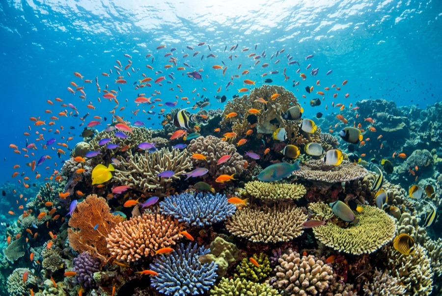
Shark Fin Reef, illustrative image

Shark Fin Reef

Reef · Drift · Wall 5–35 m Intermediate Similan Islands & Richelieu Rock, Thailand
AI 생성 일러스트레이션
문서화됨
수심
5–35 m / 16–115 ft
일반적인 수심
18 m / 59 ft
시야
15–30 m / 49–98 ft
수온
27–30 °C / 81–86 °F
조류
Moderate
접근성
Liveaboard
최적의 달
Nov–Apr
권장 자격증
Open Water
일반적인 다이빙
~50 min

수심은 사이트 상단부터 통상적인 최대 수심까지의 범위이며, '권장 자격증'은 업체에서 통상적으로 요구하는 주요 인증 기관 기준이지 법적 규정이 아닙니다. 조류와 시야는 매일 달라지므로, 모든 정보는 계획 수립용 참고 범위로 활용하세요.

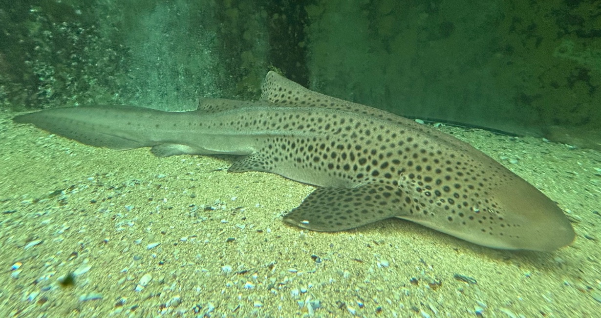
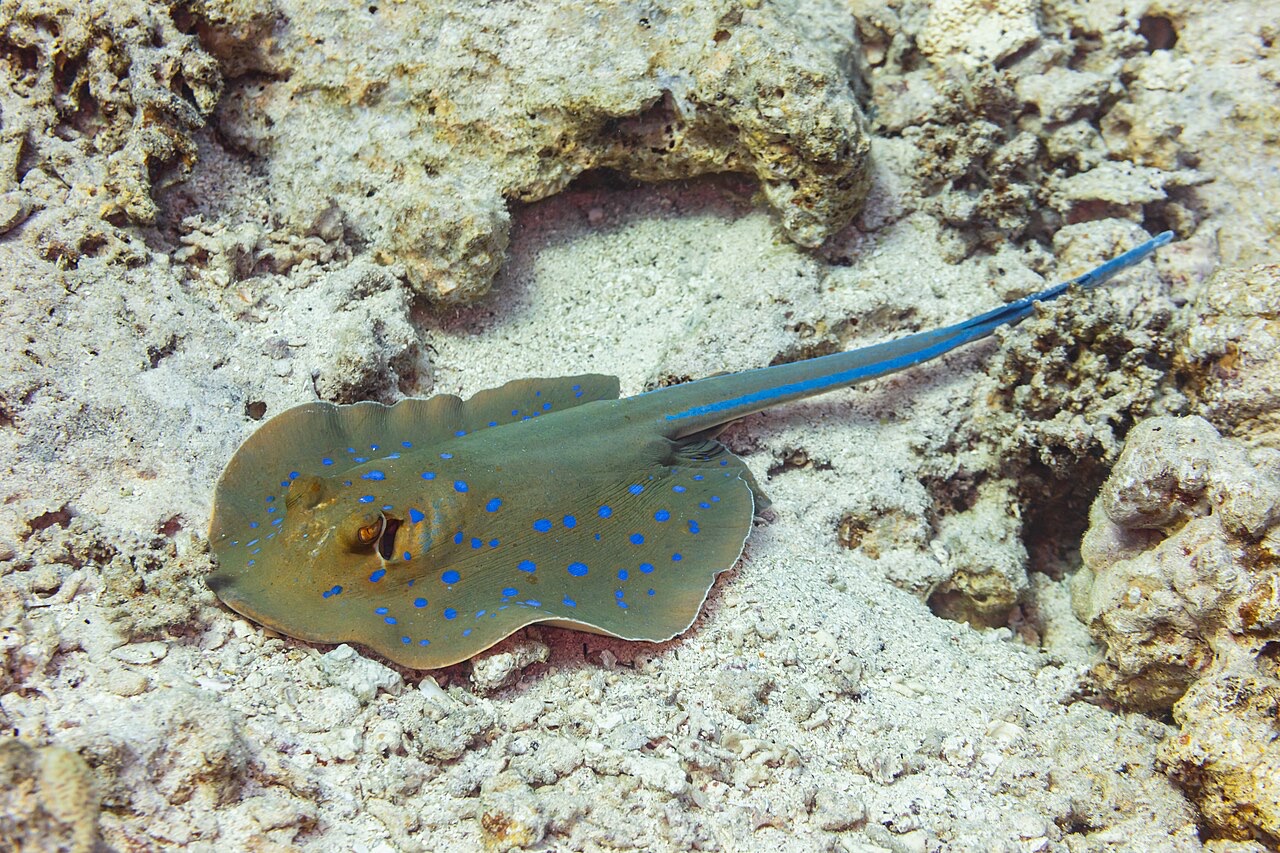
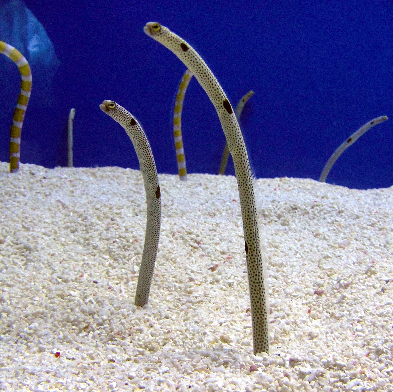
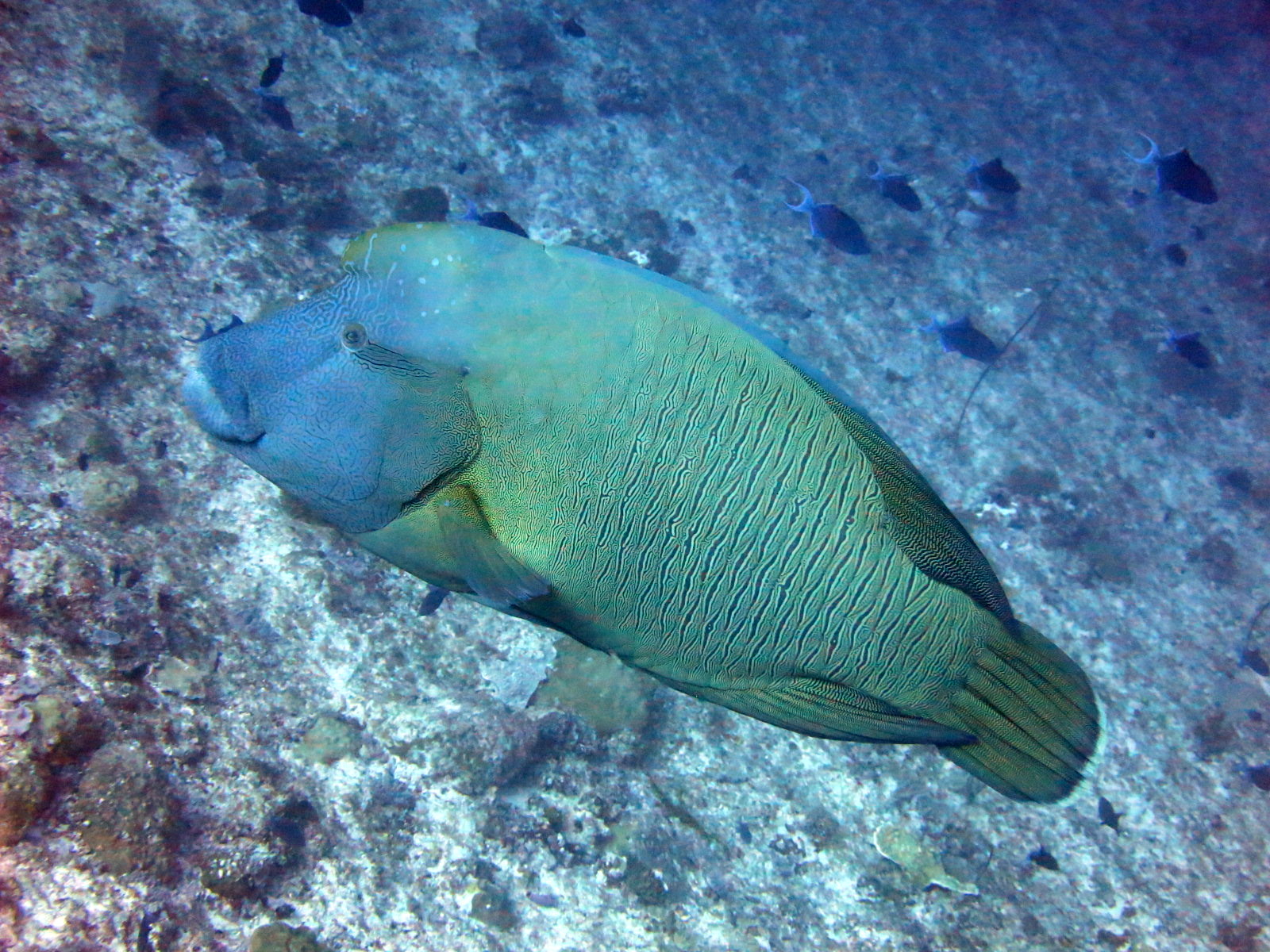
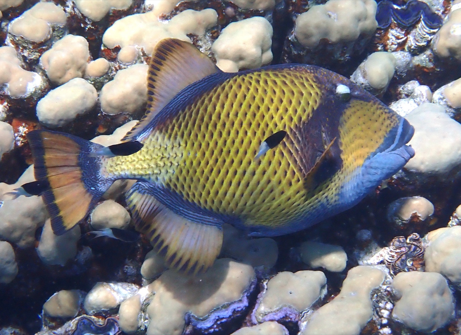
Shark Fin Reef runs like a half-submerged spine, its exposed crest suggesting the fin that named it, with two long faces of tilted granite slab sliding into sand past 30 m. The eastern side stacks hard-coral gardens and sweeping slab scenery; the west goes steeper and moodier. Blue-spotted ribbontail rays shuffle under ledges, garden eels stipple the deep sand, titan triggerfish excavate with their usual self-importance, and this southern corner remains one of the archipelago's better bets for a zebra shark flat out on the bottom. An unflashy, spacious dive that shows the Similans' scale without demanding anything exotic in return.

바로 그 순간: Kilometer-scale granite spine, rays and garden eels on the sand, southern-sector calm

지형: Tilted granite slabs and coral gardens dropping to sand

조류: Flow runs the length of the ridge and the dive becomes a one-way drift along whichever face is in the lee.

진입: A long granite ridge southeast of island 3, its crest breaking the surface; often the first dive of northbound itineraries.

입수 전에 알아두세요

위험 요소: Length of the ridge can string groups out in current; agree on the drift plan before rolling.

보존: Park rules apply; give nesting titan triggerfish their cone of territory in the warm months.

나이트록스: 여기서 가치 있는 이유: 이 프로필들은 엔리치드 에어가 무감압 시간을 의미 있게 연장해 주는 범위에 해당하며, 교육을 받은 경우에 해당합니다.

만날 수 있는 생물
인근에서도 기록된 종

"여기에 등록된" 생물종은 편집팀이 이 페이지의 출처를 바탕으로 목록화한 종입니다. 표시된 수치는 GBIF 출현 기록으로, 1990년 이후 등록 위치 기준 약 5km 이내에서 관찰·기록된 건수이며, 저희 카탈로그에 수록된 종에 한해 대조한 결과입니다. 실제로 목격된 사례를 보여주는 것이며, 현장에서 반드시 볼 수 있다는 보장은 아닙니다.

수중 촬영자를 위한 정보

광각: ★★★★☆ · 마크로: ★★☆☆☆ (각 촬영 스타일에 대한 에디터의 1–5점 평가)

호주, 뉴질랜드 & 동아시아

Cairns & the Ribbon ReefsNingaloo ReefCoral Sea & Osprey ReefOkinawa & the Kerama IslandsPoor Knights IslandsTownsville & the YongalaGreen IslandIzu Peninsula

카리브해 & 서대서양

BonaireCozumelRiviera Maya & the CenotesBelize Barrier ReefGrand CaymanIsla Mujeres & CancúnRoatánTiger Beach & Grand Bahama

유럽, 대서양 & 지중해

Malta & GozoSilfra & IcelandThe AzoresCanary IslandsLarnaca & the ZenobiaScapa FlowArctic NorwayMadeira

인도양 및 동아프리카

North & South Malé AtollsAri AtollBaa Atoll & Hanifaru BayAliwal Shoal & UmkomaasMafia IslandMauritiusSeychellesSodwana Bay

태평양 제도 & 미크로네시아

PalauChuuk (Truk) LagoonFakaravaKona, HawaiʻiRangiroaTaveuni & Rainbow ReefBeqa Lagoon & Pacific HarbourEspiritu Santo

홍해 & 중동

Sharm El Sheikh & Ras MohammedBrothers, Daedalus & St John'sDahabHurghada & El GounaMarsa Alam & the Deep SouthAqabaDaymaniyat IslandsMusandam Peninsula

동남아시아 & 코랄 트라이앵글

Bali & Nusa PenidaKomodoRaja AmpatSipadan & MabulAnilaoCoronKoh TaoLembeh Strait

아메리카 & 동태평양

Galápagos IslandsCocos IslandFlorida KeysSea of Cortez & Cabo PulmoSocorro & the RevillagigedosBritish ColumbiaCalifornia Channel IslandsCosta Rica Pacific Coast