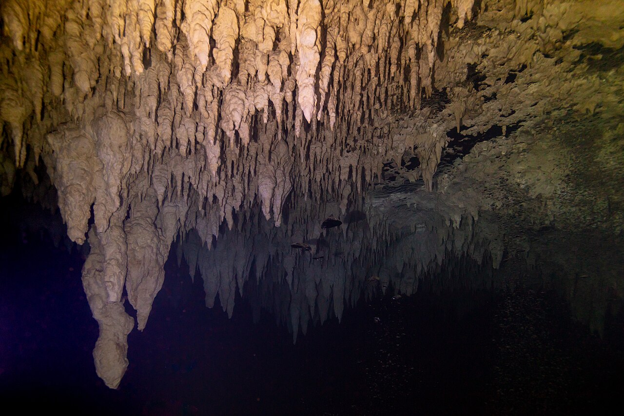
世界水下洞穴:延伸多远,深达何处
71 洞穴系统26 个国家1,379 km 已测量通道24 附已发表地图
本页汇集了全球水下洞穴系统的测量团队已公开发布的资料:每个洞穴已测绘的长度与深度、测绘者、入口位置及进入管理方。所有数据均链接至原始来源,并注明发布日期。
浏览
按国家、类型及开放情况列出的所有洞穴系统
13 共 71 个系统符合条件。
卫星底图:NASA Blue Marble
| 系统 | 国家 | 类型 | 已测量长度 | 深度 | 入口 | 访问 | |
|---|---|---|---|---|---|---|---|
| Sistema Ox Bel HaQuintana Roo | Mexico | 锚链式洞穴 | 496.8 km2024-10 | 57 m | 1 | 因入口而异 | |
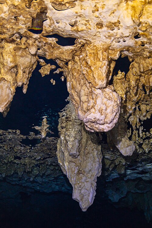 |
Sistema Sac ActunQuintana Roo | Mexico | 锚链式洞穴 | 379.6 km2024-12 | 119 m | 6 | 因入口而异 |
| Sistema K'oox BaalQuintana Roo | Mexico | 锚链式洞穴 | 103.1 km2024-04 | 26 m | 1 | 因入口而异 | |
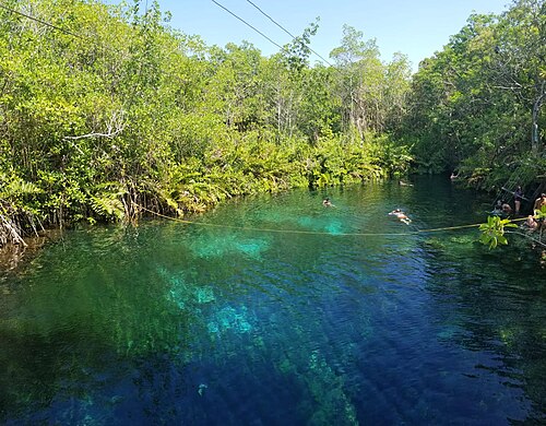 |
Sistema Xunaan HaQuintana Roo | Mexico | 锚链式洞穴 | 57.3 km2024-04 | 27 m | — | 开放状态未经核实 |
| Sistema Toh HaQuintana Roo | Mexico | 锚链式洞穴 | 47.7 km2018-12 | 13 m | 1 | 开放状态未经核实 | |
| Dan's Cave SystemAbaco | The Bahamas | 锚链式洞穴 | 19.3 km2026-07 | 60 m | 2 | 限制进入 | |
| Sistema Dos PisosQuintana Roo | Mexico | 锚链式洞穴 | 14.8 km2019-11 | 24 m | — | 开放状态未经核实 | |
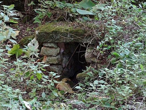 |
Sistema Gleda–Camp des PouMallorca (Balearic Islands) | Spain | 锚链式洞穴 | 14.6 km2020 | 24 m | 2 | 限制进入 |
| Cueva QuebradaQuintana Roo | Mexico | 锚链式洞穴 | 11.6 km2014-07 | 9 m | — | 限制进入 | |
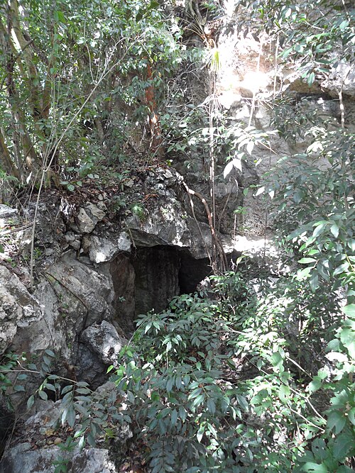 |
Lucayan CavernsGrand Bahama | The Bahamas | 锚链式洞穴 | 10.5 km | — | 1 | 因入口而异 |
| Sistema Taj MahalQuintana Roo | Mexico | 锚链式洞穴 | 10.0 km2017-08 | 24 m | 1 | 符合条件的潜水员可入内,需满足相关要求 | |
| Sistema Chac-MolQuintana Roo | Mexico | 锚链式洞穴 | 9.2 km2000-01 | 28 m | 2 | 符合条件的潜水员可入内,需满足相关要求 | |
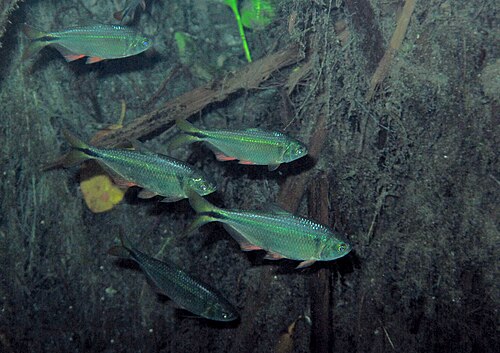 |
Sistema CarwashQuintana Roo | Mexico | 锚链式洞穴 | 3.2 km2016-09 | 26 m | 1 | 符合条件的潜水员可入内,需满足相关要求 |
地图
已发布的地图与勘测资料
仅供参考。 本页地图及外链地图均非水下导航工具。洞穴测绘图归绘制团队所有,请尊重其版权及发布限制。
| 地图或测绘图 | 出版方 | 系统 |
|---|---|---|
| QRSS: Underwater caves of Isla Cozumel ↗Cozumel cave list and access notes. | Quintana Roo Speleological Survey | Cueva Quebrada |
| Divje jezero (fiche with section and plan) ↗Fiche by Frank Vasseur with bibliography of Slovenian sources. | plongeesout.ffspeleo.fr | Divje jezero |
| Font del Truffe (fiche with section, plan, S12 plan and terminal sketch) ↗Fiche by F. Vasseur, updated 16 March 2016. | plongeesout.ffspeleo.fr | Font del Truffe |
| Goul de la Tannerie (fiche with sections and plans) ↗After documents by Bertrand Léger, updated by F. Vasseur. | plongeesout.ffspeleo.fr | Gouls de Tourne |
| Goul du Pont (fiche with plan and sections) ↗Fiche by F. Vasseur, updated 2 November 2007. | plongeesout.ffspeleo.fr | Gouls de Tourne |
| Mapy (maps of the abyss) ↗Published maps and current-state section of the research group's site. | ZO ČSS 7-02 Hranický kras | Hranice Abyss |
| Expédition 2010 – Le karst du massif du Falakro et la résurgence de Maaras (report with survey 1978-2010) ↗Hydrogeological and survey results. | Pascal Reilé (FFS), hosted on plongeesout.ffspeleo.fr | Maaras resurgence (Aggitis Cave) |
| Research report on the 2025 research of the Molnár János Cave (in Hungarian) ↗Includes a survey-line excerpt of the 2025 extension; not a full cave map. | termeszetvedelem.hu (Hungarian nature conservation portal) | Molnár János Cave |
| Olhos de Agua do Alviela (fiche with survey) ↗Links to a survey drawing and the expedition account. | plongeesout.ffspeleo.fr | Olhos de Água do Alviela |
| Pozzo del Merro – cave sheet (I Monti Cornicolani) ↗Regional cave register sheet with description and history (catasto La 32). | Parchi Lazio | Pozzo del Merro |
| Résurgence de Cabouy (fiche with plan and section of Cabouy–Pou Meyssen) ↗Links to Cabouy–Pou Meyssen plan and section and a complete plan of the Ouysse network dated December 2017. | plongeesout.ffspeleo.fr | Réseau de l'Ouysse (Cabouy – Pou Meyssen) |
| Gouffre de Pou Meyssen (fiche) ↗Updated 29 November 2014 with surveys proposed by Torsten Schnitter; links to upstream plans. | plongeesout.ffspeleo.fr | Réseau de l'Ouysse (Cabouy – Pou Meyssen) |
| QRSS list of long underwater caves in Quintana Roo ↗Length, depth and cenote count table. | Quintana Roo Speleological Survey | Sistema Carwash |
| QRSS list of long underwater caves in Quintana Roo ↗Length, depth and cenote count table. | Quintana Roo Speleological Survey | Sistema Chac-Mol |
| QRSS list of long underwater caves in Quintana Roo ↗Length, depth and cenote count table. | Quintana Roo Speleological Survey | Sistema Dos Pisos |
| Sistema Gleda-Camp des Pou (Manacor, Mallorca): estat de la qüestió ↗Open-access review with historical and current survey figures (CC BY-NC-ND 4.0). | Societat Espeleològica Balear (Papers SEB 3, 2020) | Sistema Gleda–Camp des Pou |
| QRSS list of long underwater caves in Quintana Roo ↗Length, depth and cenote count table. | Quintana Roo Speleological Survey | Sistema K'oox Baal |
| CINDAQ annual reports ↗Yearly reports with survey totals and project summaries. | CINDAQ | Sistema Ox Bel Ha |
| QRSS list of long underwater caves in Quintana Roo ↗Length, depth and cenote count table. | Quintana Roo Speleological Survey | Sistema Ox Bel Ha |
| QRSS list of long underwater caves in Quintana Roo ↗Length, depth and cenote count table; QRSS sells printed maps separately. | Quintana Roo Speleological Survey | Sistema Sac Actun |
| QRSS list of long underwater caves in Quintana Roo ↗Length, depth and cenote count table. | Quintana Roo Speleological Survey | Sistema Taj Mahal |
| QRSS list of long underwater caves in Quintana Roo ↗Length, depth and cenote count table. | Quintana Roo Speleological Survey | Sistema Toh Ha |
| QRSS list of long underwater caves in Quintana Roo ↗Length, depth and cenote count table. | Quintana Roo Speleological Survey | Sistema Xunaan Ha |
| Source de Saint Sauveur (fiche with section 2005 and plan) ↗Links to a 2005 section, a plan and a section of the Vierge Noire gallery. | plongeesout.ffspeleo.fr | Source de Saint-Sauveur |
| Wakulla Basin Mapping Initiative - Update 2 ↗Expedition update (2026-08-04) on 3D mapping with an autonomous vehicle and radio location of passages; no map is... | Woodville Karst Plain Project | Wakulla-Leon Sinks cave system |
| Mendip Cave Registry entry: Wookey Hole ↗Registry record listing 28 historic surveys (1904-1969). | Mendip Cave Registry & Archive | Wookey Hole |
| RESSEL mise à jour / update: complete survey (2005) ↗Plans and sections of each part of the cave, survey by HFGK, INGO and the Landesverein für Höhlenkunde in der... | plongeesout.ffspeleo.fr | Émergence du Ressel |
| Cave Areas of Quintana Roo (QRSS cave footprint map) ↗An area-level map of known cave zones around Tulum, built by buffering survey lines by 250 m. It shows how much of... | Quintana Roo Speleological Survey | — |
| Hoyo Negro Project ↗Project site for the Hoyo Negro research: Naia, the extinct fauna, digital documentation by photogrammetry, and a... | Instituto Nacional de Antropología e Historia / University of California San Diego | — |
| Karst Underwater Research (KUR) ↗A volunteer non-profit exploring and documenting flooded karst in Florida, including Manatee, Madison, Ichetucknee,... | Karst Underwater Research | — |
| Karst in the United States: A Digital Map Compilation and Database ↗A national GIS and KML map of rocks and deposits that host or could host karst in the US, Puerto Rico and the US... | U.S. Geological Survey (Open-File Report 2014-1156) | — |
| New Madison and Manatee cave maps ↗Announcement of updated survey maps of Madison Blue Spring and Manatee Springs in Florida, with free small-scale... | Karst Underwater Research | — |
| Proyecto Espeleológico Sistema Huautla (PESH) ↗The exploration project for Sistema Huautla in Mexico, a very deep cave system whose flooded sections have been the... | PESH | — |
| Quintana Roo Speleological Survey (QRSS) ↗A long-running project that gathers cave survey data for Quintana Roo, Mexico. It publishes length and depth... | Quintana Roo Speleological Survey | — |
| U.S. Deep Caving Team ↗A non-profit devoted to exploring the planet's remaining frontiers and building the technology to do it. Its... | U.S. Deep Caving Team, Inc. | — |
| Woodville Karst Plain Project (WKPP) ↗A non-profit exploring and studying the flooded caves of North Florida's Woodville Karst Plain, including the... | Woodville Karst Plain Project | — |
| World Karst Aquifer Map (WOKAM) ↗A global map of potential karst aquifers in carbonate and evaporite rocks, with selected major karst springs and... | WHYMAP / Federal Institute for Geosciences and Natural Resources (BGR) | — |