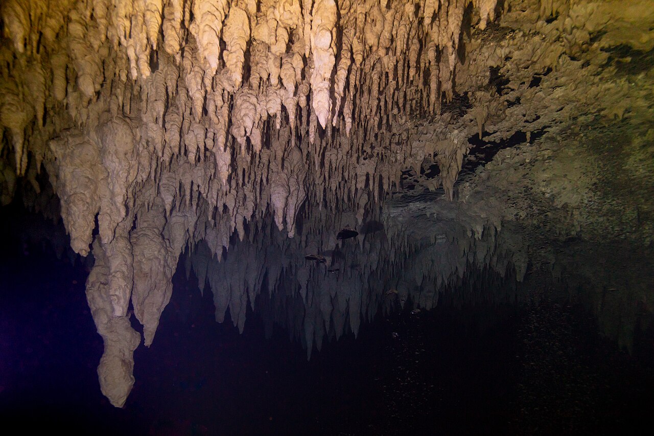
Dünyanın su altı mağaraları: ne kadar uzun ve ne kadar derin oldukları
71 mağara sistemleri26 ülke1,379 km haritalanmış geçit24 yayımlanmış haritalarla birlikte
Dünyanın su altında kalan mağaraları, harita ekiplerinin yayımladığı şekliyle: her birinin ne kadar haritalandığı ve derinliği, kim tarafından haritalandığı, girişleri ve erişimi kimin denetlediği. Her rakam kaynağına bağlanır ve yayımlanma tarihi taşır.
Gözat
Ülkeye, türe ve erişime göre her mağara sistemi
Anchialen mağarası · 13Su altı mağarası · 13Obruk · 12Kaynak sistemi · 12Yeniden çıkış noktası · 11Mavi delik · 5Su basmış maden · 4Deniz mağarası · 1
Yetkili dalgıçlara açık
5 / 71 sistem eşleşiyor.
Uydu: NASA Blue Marble
| Sistem | Ülke | Tür | Surveylenen uzunluk | Derinlik | Girişler | Erişim | |
|---|---|---|---|---|---|---|---|
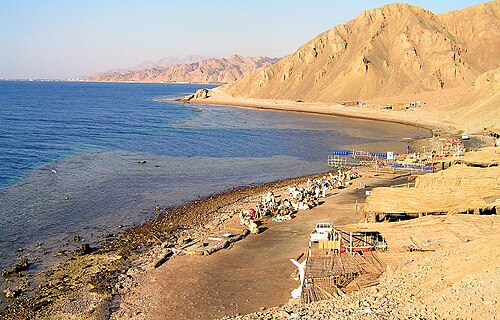 |
Blue Hole (Dahab)South Sinai | Egypt | Mavi delik | — | — | 1 | Koşullu olarak nitelikli dalgıçlara açık |
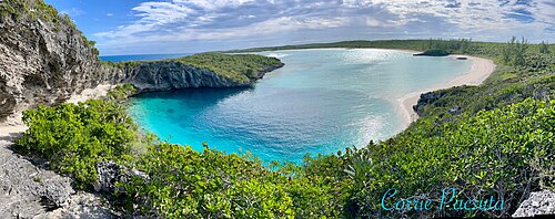 |
Dean's Blue HoleLong Island | The Bahamas | Mavi delik | — | 202 m | 1 | Erişim durumu doğrulanmadı |
| Great Blue HoleLighthouse Reef Atoll | Belize | Mavi delik | — | 125 m | 1 | Koşullu olarak nitelikli dalgıçlara açık | |
| Sawmill SinkAbaco | The Bahamas | Mavi delik | — | 54 m | 1 | Kısıtlı erişim | |
| Stargate Blue HoleSouth Andros | The Bahamas | Mavi delik | — | 104 m | 1 | Özel: mülk sahibinin izni gereklidir |
Haritalar
Yayımlanan haritalar ve araştırmalar
Yalnızca genel bilgi amaçlıdır. Buradaki ve bağlantılı sitelerdeki haritalar, su altı navigasyon aracı değildir. Mağara tarama haritaları, onları çizen ekiplere aittir; telif haklarına ve yayın kısıtlamalarına saygı gösterin.
| Harita veya tarama haritası | Yayıncı | Sistem |
|---|---|---|
| QRSS: Underwater caves of Isla Cozumel ↗Cozumel cave list and access notes. | Quintana Roo Speleological Survey | Cueva Quebrada |
| Divje jezero (fiche with section and plan) ↗Fiche by Frank Vasseur with bibliography of Slovenian sources. | plongeesout.ffspeleo.fr | Divje jezero |
| Font del Truffe (fiche with section, plan, S12 plan and terminal sketch) ↗Fiche by F. Vasseur, updated 16 March 2016. | plongeesout.ffspeleo.fr | Font del Truffe |
| Goul de la Tannerie (fiche with sections and plans) ↗After documents by Bertrand Léger, updated by F. Vasseur. | plongeesout.ffspeleo.fr | Gouls de Tourne |
| Goul du Pont (fiche with plan and sections) ↗Fiche by F. Vasseur, updated 2 November 2007. | plongeesout.ffspeleo.fr | Gouls de Tourne |
| Mapy (maps of the abyss) ↗Published maps and current-state section of the research group's site. | ZO ČSS 7-02 Hranický kras | Hranice Abyss |
| Expédition 2010 – Le karst du massif du Falakro et la résurgence de Maaras (report with survey 1978-2010) ↗Hydrogeological and survey results. | Pascal Reilé (FFS), hosted on plongeesout.ffspeleo.fr | Maaras resurgence (Aggitis Cave) |
| Research report on the 2025 research of the Molnár János Cave (in Hungarian) ↗Includes a survey-line excerpt of the 2025 extension; not a full cave map. | termeszetvedelem.hu (Hungarian nature conservation portal) | Molnár János Cave |
| Olhos de Agua do Alviela (fiche with survey) ↗Links to a survey drawing and the expedition account. | plongeesout.ffspeleo.fr | Olhos de Água do Alviela |
| Pozzo del Merro – cave sheet (I Monti Cornicolani) ↗Regional cave register sheet with description and history (catasto La 32). | Parchi Lazio | Pozzo del Merro |
| Résurgence de Cabouy (fiche with plan and section of Cabouy–Pou Meyssen) ↗Links to Cabouy–Pou Meyssen plan and section and a complete plan of the Ouysse network dated December 2017. | plongeesout.ffspeleo.fr | Réseau de l'Ouysse (Cabouy – Pou Meyssen) |
| Gouffre de Pou Meyssen (fiche) ↗Updated 29 November 2014 with surveys proposed by Torsten Schnitter; links to upstream plans. | plongeesout.ffspeleo.fr | Réseau de l'Ouysse (Cabouy – Pou Meyssen) |
| QRSS list of long underwater caves in Quintana Roo ↗Length, depth and cenote count table. | Quintana Roo Speleological Survey | Sistema Carwash |
| QRSS list of long underwater caves in Quintana Roo ↗Length, depth and cenote count table. | Quintana Roo Speleological Survey | Sistema Chac-Mol |
| QRSS list of long underwater caves in Quintana Roo ↗Length, depth and cenote count table. | Quintana Roo Speleological Survey | Sistema Dos Pisos |
| Sistema Gleda-Camp des Pou (Manacor, Mallorca): estat de la qüestió ↗Open-access review with historical and current survey figures (CC BY-NC-ND 4.0). | Societat Espeleològica Balear (Papers SEB 3, 2020) | Sistema Gleda–Camp des Pou |
| QRSS list of long underwater caves in Quintana Roo ↗Length, depth and cenote count table. | Quintana Roo Speleological Survey | Sistema K'oox Baal |
| CINDAQ annual reports ↗Yearly reports with survey totals and project summaries. | CINDAQ | Sistema Ox Bel Ha |
| QRSS list of long underwater caves in Quintana Roo ↗Length, depth and cenote count table. | Quintana Roo Speleological Survey | Sistema Ox Bel Ha |
| QRSS list of long underwater caves in Quintana Roo ↗Length, depth and cenote count table; QRSS sells printed maps separately. | Quintana Roo Speleological Survey | Sistema Sac Actun |
| QRSS list of long underwater caves in Quintana Roo ↗Length, depth and cenote count table. | Quintana Roo Speleological Survey | Sistema Taj Mahal |
| QRSS list of long underwater caves in Quintana Roo ↗Length, depth and cenote count table. | Quintana Roo Speleological Survey | Sistema Toh Ha |
| QRSS list of long underwater caves in Quintana Roo ↗Length, depth and cenote count table. | Quintana Roo Speleological Survey | Sistema Xunaan Ha |
| Source de Saint Sauveur (fiche with section 2005 and plan) ↗Links to a 2005 section, a plan and a section of the Vierge Noire gallery. | plongeesout.ffspeleo.fr | Source de Saint-Sauveur |
| Wakulla Basin Mapping Initiative - Update 2 ↗Expedition update (2026-08-04) on 3D mapping with an autonomous vehicle and radio location of passages; no map is... | Woodville Karst Plain Project | Wakulla-Leon Sinks cave system |
| Mendip Cave Registry entry: Wookey Hole ↗Registry record listing 28 historic surveys (1904-1969). | Mendip Cave Registry & Archive | Wookey Hole |
| RESSEL mise à jour / update: complete survey (2005) ↗Plans and sections of each part of the cave, survey by HFGK, INGO and the Landesverein für Höhlenkunde in der... | plongeesout.ffspeleo.fr | Émergence du Ressel |
| Cave Areas of Quintana Roo (QRSS cave footprint map) ↗An area-level map of known cave zones around Tulum, built by buffering survey lines by 250 m. It shows how much of... | Quintana Roo Speleological Survey | — |
| Hoyo Negro Project ↗Project site for the Hoyo Negro research: Naia, the extinct fauna, digital documentation by photogrammetry, and a... | Instituto Nacional de Antropología e Historia / University of California San Diego | — |
| Karst Underwater Research (KUR) ↗A volunteer non-profit exploring and documenting flooded karst in Florida, including Manatee, Madison, Ichetucknee,... | Karst Underwater Research | — |
| Karst in the United States: A Digital Map Compilation and Database ↗A national GIS and KML map of rocks and deposits that host or could host karst in the US, Puerto Rico and the US... | U.S. Geological Survey (Open-File Report 2014-1156) | — |
| New Madison and Manatee cave maps ↗Announcement of updated survey maps of Madison Blue Spring and Manatee Springs in Florida, with free small-scale... | Karst Underwater Research | — |
| Proyecto Espeleológico Sistema Huautla (PESH) ↗The exploration project for Sistema Huautla in Mexico, a very deep cave system whose flooded sections have been the... | PESH | — |
| Quintana Roo Speleological Survey (QRSS) ↗A long-running project that gathers cave survey data for Quintana Roo, Mexico. It publishes length and depth... | Quintana Roo Speleological Survey | — |
| U.S. Deep Caving Team ↗A non-profit devoted to exploring the planet's remaining frontiers and building the technology to do it. Its... | U.S. Deep Caving Team, Inc. | — |
| Woodville Karst Plain Project (WKPP) ↗A non-profit exploring and studying the flooded caves of North Florida's Woodville Karst Plain, including the... | Woodville Karst Plain Project | — |
| World Karst Aquifer Map (WOKAM) ↗A global map of potential karst aquifers in carbonate and evaporite rocks, with selected major karst springs and... | WHYMAP / Federal Institute for Geosciences and Natural Resources (BGR) | — |