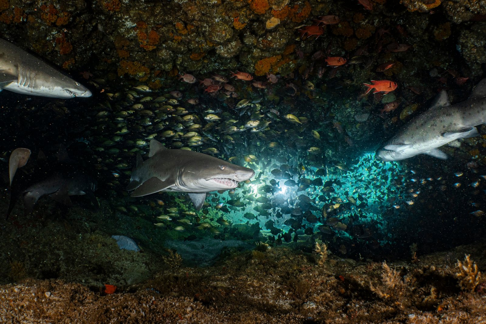
Raggie Cave
Die Tiefe gibt den Bereich von der Oberkante des Tauchplatzes bis zur üblichen Maximaltiefe an; „empfohlene Zertifizierung" ist das von Anbietern üblicherweise geforderte Mainstream-Agenturniveau – keine gesetzliche Vorschrift. Strömungen und Sichtweite ändern sich täglich – behandle alle Angaben hier als Planungsbereiche.
Raggie Cave is not a true cave but a deep, overhung bowl in Aliwal's sandstone, and in winter it fills with exactly what the name says. Ragged-tooth sharks gather here during their mating season, hanging almost motionless in the gully, mouths ajar with that permanent snaggle-toothed menace that belies a placid nature. Divers settle at the rim, keep low, and let the sharks drift past at arm's-length range; ten or more animals share the bowl on good days. Around the edges the shoal's usual cast (morays, rays on the sand, clouds of goldies) carries the dive when the raggies wander.
Der Moment, für den du kommst: Winter aggregations of ragged-tooth sharks at close, calm range
Topografie: Sandstone amphitheater and overhung gully in the shoal's fossil-dune reef
Strömung: Surge and along-shoal current vary with swell; entries are negative drops from RIBs after a surf launch.
Was du wissen solltest, bevor du ins Wasser gehst
Gefahren: Surge in the bowl, current over the shoal, and surf launches to reach it.
Genehmigungen & Regeln: Aliwal Shoal MPA permit required, arranged via operators.
Naturschutz: Do not block the gully mouths or crowd the sharks: they abandon the site when hemmed in. The species is regionally threatened and these aggregations matter.
Nitrox: Hier lohnt es sich – die Profile liegen in einem Bereich, in dem Nitrox die Nullzeiten spürbar verlängert (mit der entsprechenden Ausbildung).
Wen du triffst

Nudibranchs
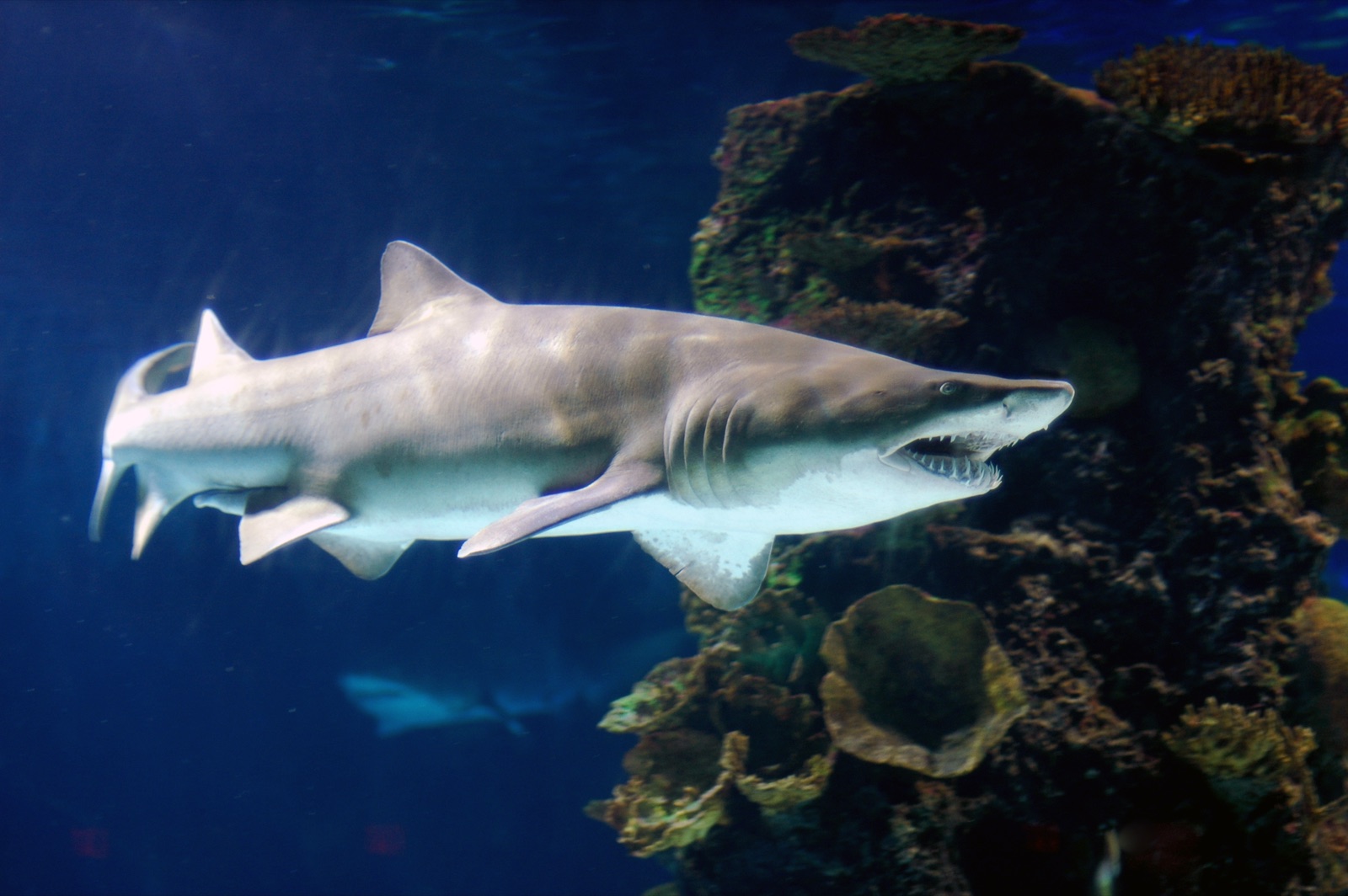
Sand Tiger (Ragged-Tooth) Shark
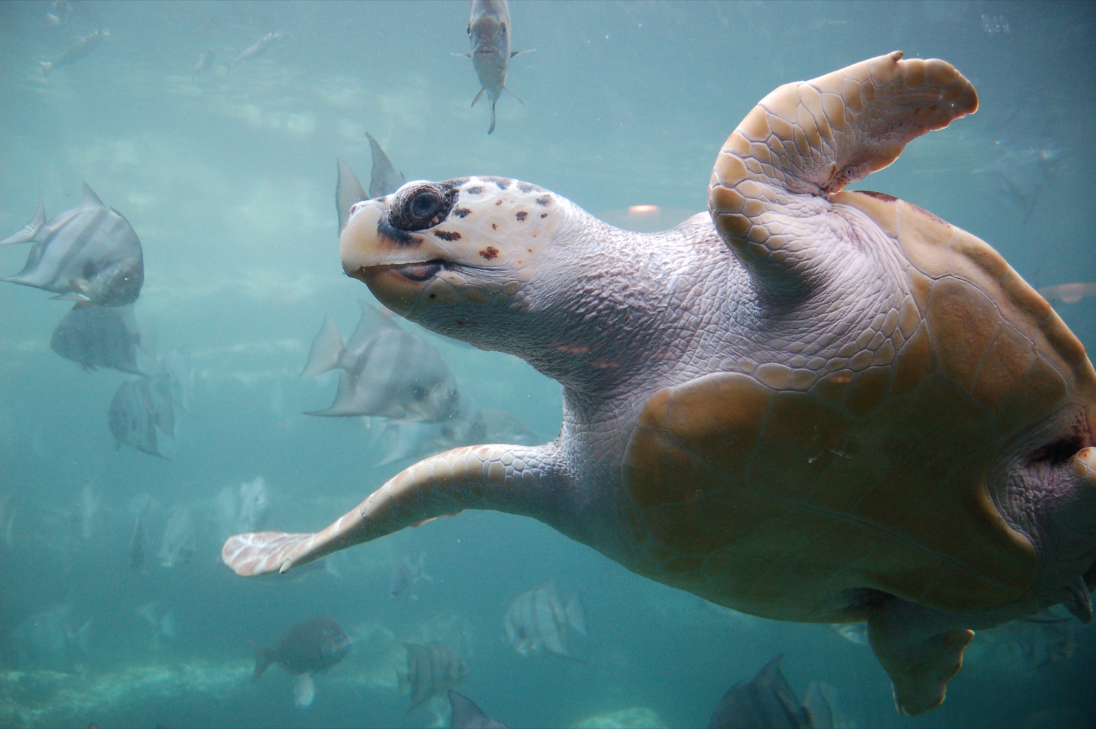
Loggerhead Turtle
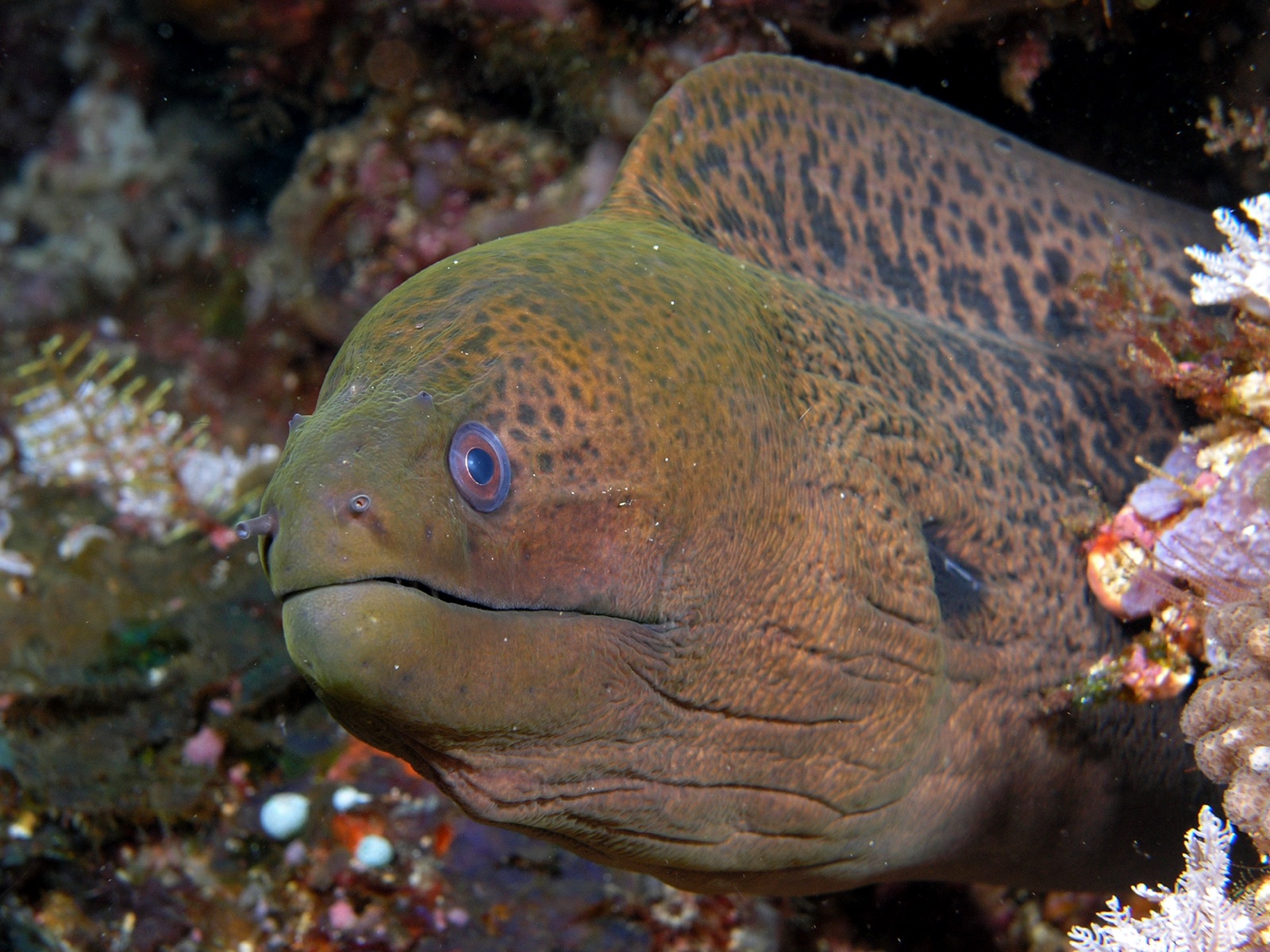
Giant Moray Eel

Clownfish & Anemonefish
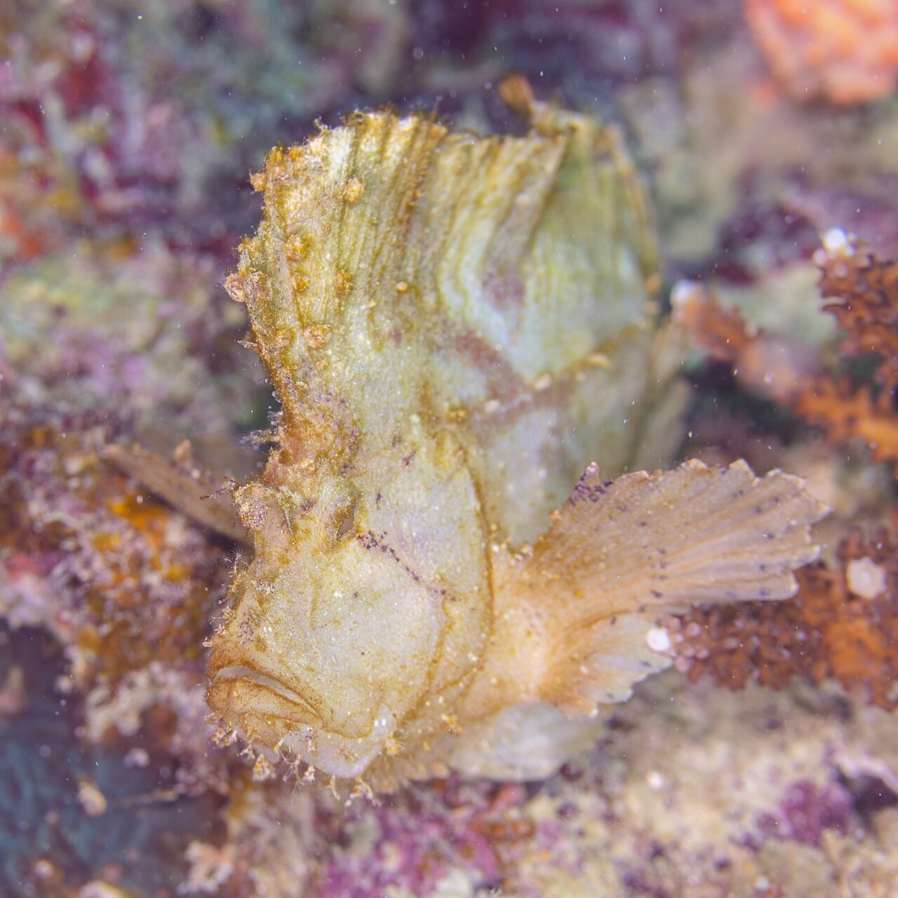
Leaf Scorpionfish

Lionfish
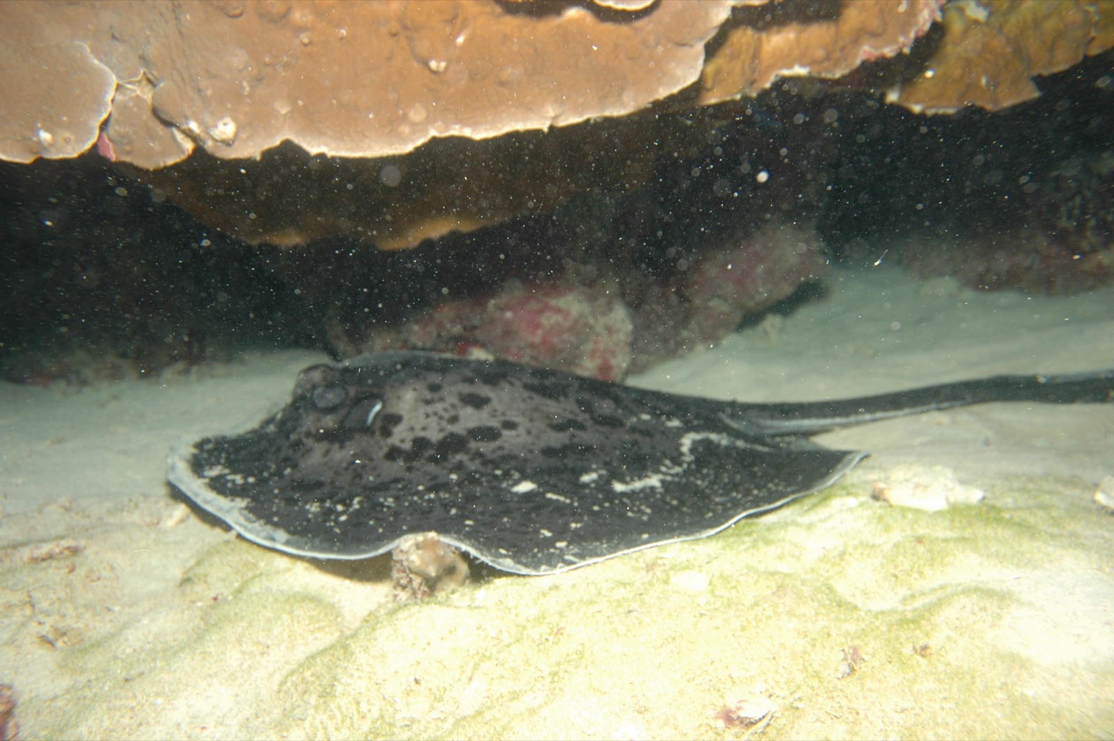
Marbled Ray
Auch in der Nähe nachgewiesen
„Hier kartiert" – Arten wurden von unseren Redakteuren anhand der Quellen auf dieser Seite erfasst. Die Zahlen sind GBIF-Vorkommensdatensätze: Beobachtungen, die seit 1990 im Umkreis von etwa 5 km um die kartierte Position protokolliert wurden, ausschließlich abgeglichen mit den Arten in unserem Katalog. Sie zeigen, was dort gesichtet wurde – keine Garantie, was du sehen wirst.
Für Fotografen
Weitwinkel: ★★★★★ · Makro: ★★☆☆☆ (Redaktionelle 1–5-Bewertung, was dieser Platz für jeden Fotografie-Stil bietet)