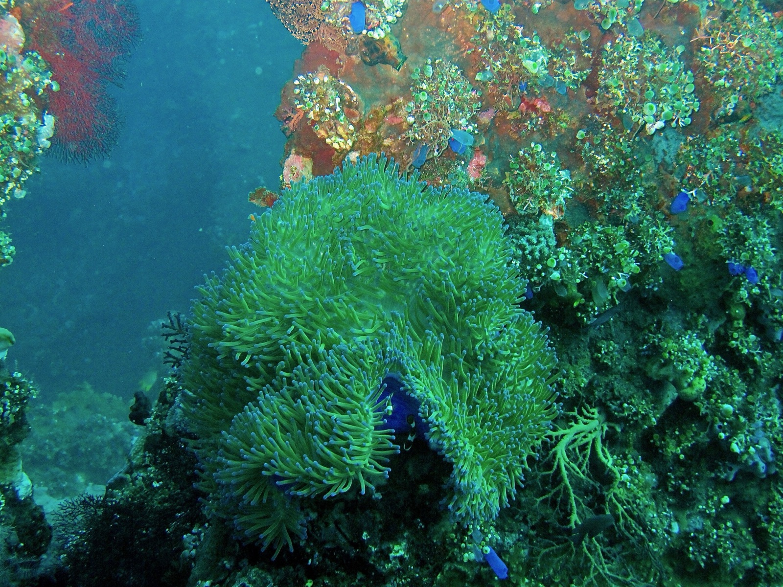
USAT Liberty Wreck
水深はサイト上部から通常の最大深度までの範囲です。「推奨資格」は多くのオペレーターが求めるメインストリームエージェンシーのレベルであり、法的な義務ではありません。潮流と透明度は日々変わるため、ここに記載の数値はあくまで計画のための目安としてお使いください。
The Liberty may be the most accessible great wreck in the world: a US Army transport torpedoed in 1942, beached at Tulamben, then nudged back into the sea by the 1963 Mount Agung eruption. Sixty years of coral growth have turned the broken hull into a reef in the shape of a ship, its ribs and swim-throughs upholstered in gorgonians and black coral trees. At first light a resident school of bumphead parrotfish files out of the wreck like commuters, and dusk brings hunting trevally and flashlightfish deeper in the structure. Garden eels stipple the sand, pygmy seahorses hold on the fans, and barracuda hang off the stern. Depth options from five to thirty meters suit nearly everyone, which explains both its fame and its morning crowds.
その瞬間のために: Dawn bumphead parade; coral-encrusted swim-throughs; shore access with big-wreck atmosphere.
地形: Black volcanic sand slope with the broken 120-meter hull lying parallel to shore.
流れ(カレント): Usually calm; occasional longshore current and surge in the shallows.
エントリー: Walk-in over rounded black pebbles a short swim from the wreck; porters famously carry tanks to the water. Entries get sporty when swell runs.
エントリー前に知っておこう
危険生物・リスク: Surge over the entry pebbles, silt inside confined sections, and crowds; penetration beyond open swim-throughs needs training.
保全: Heavy traffic is the site's main pressure; avoid touching the structure, and dive early or late to spread the load.
ナイトロックス: ここでは価値があります。エンリッチドエア(ナイトロックス)が無減圧潜水時間を有意に延ばせる範囲にあるスポットです(利用にはトレーニングが必要です)。
出会える生物
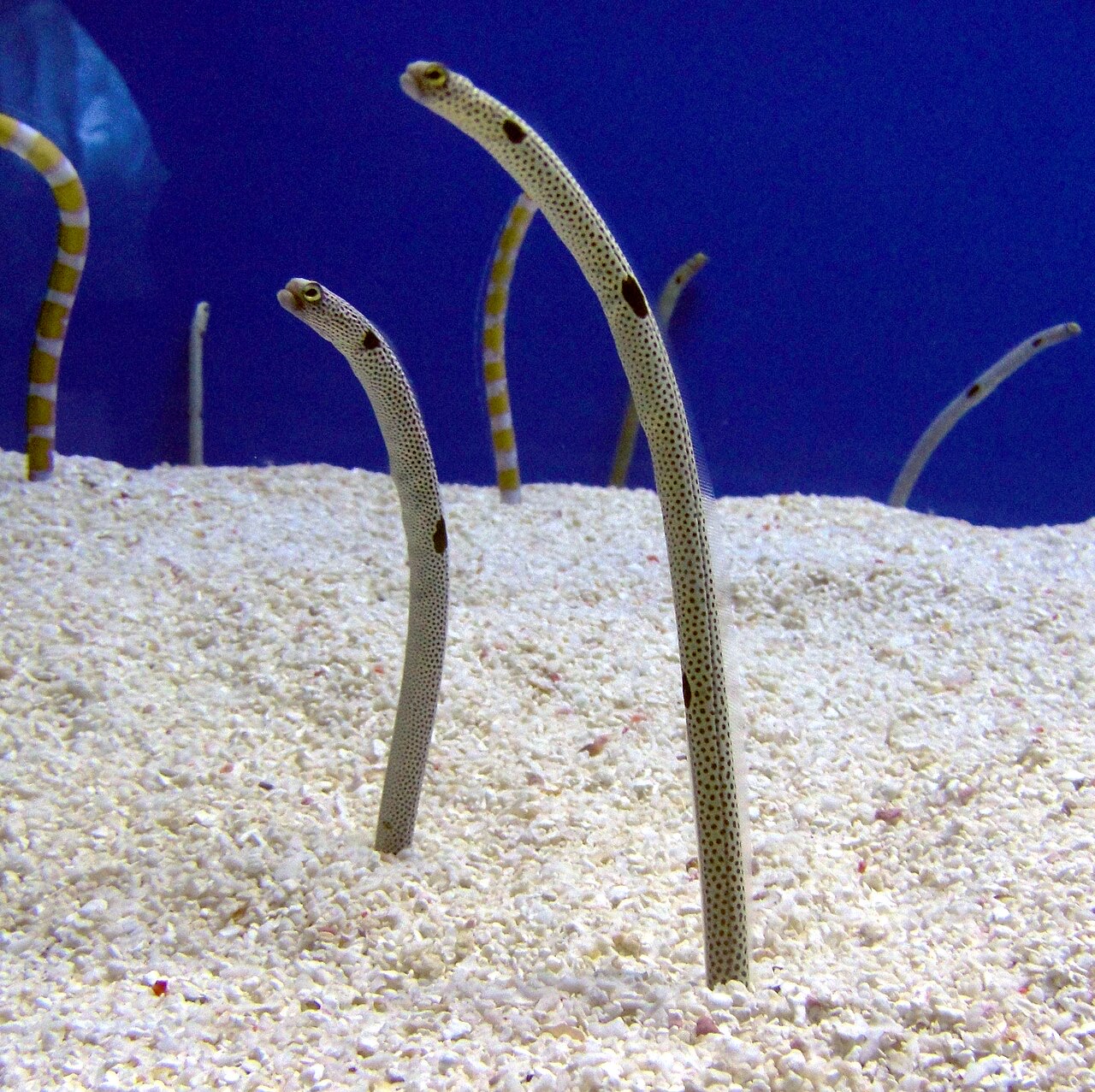
Garden Eel
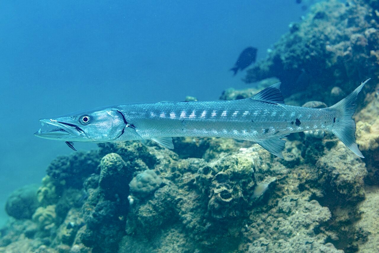
Great Barracuda
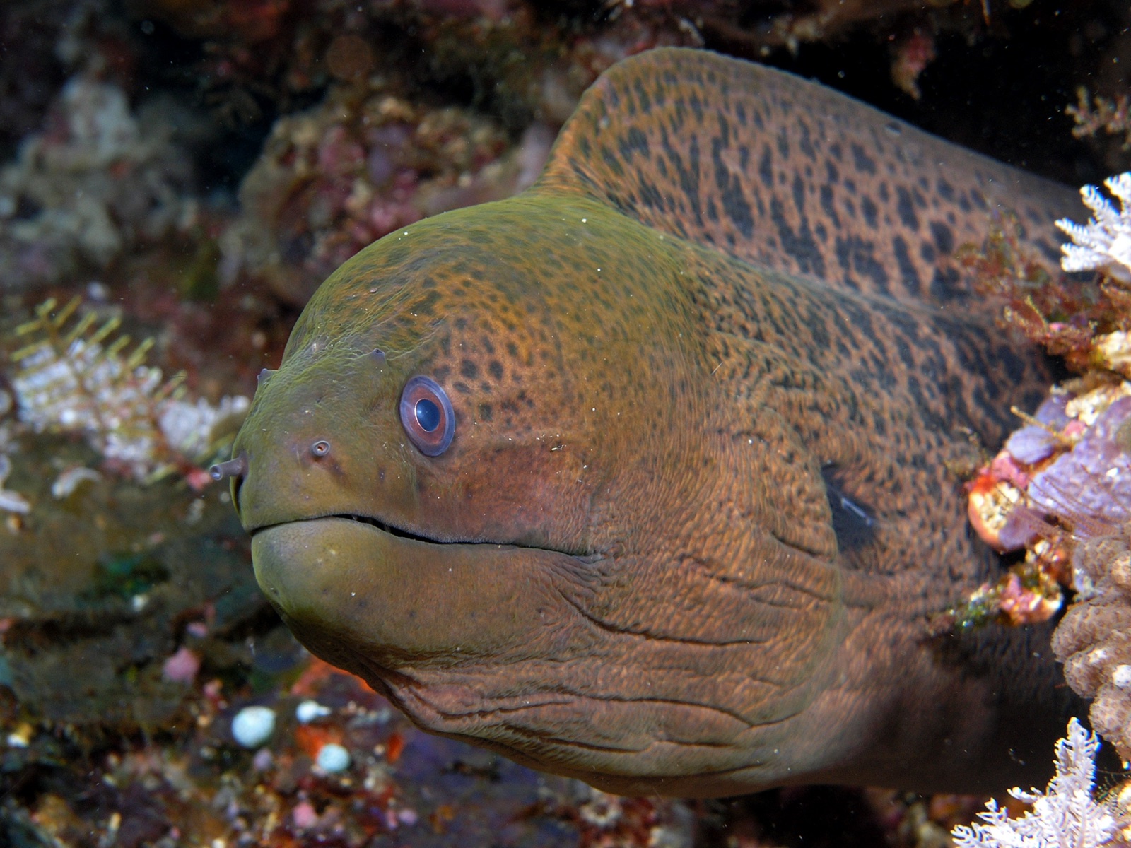
Giant Moray Eel
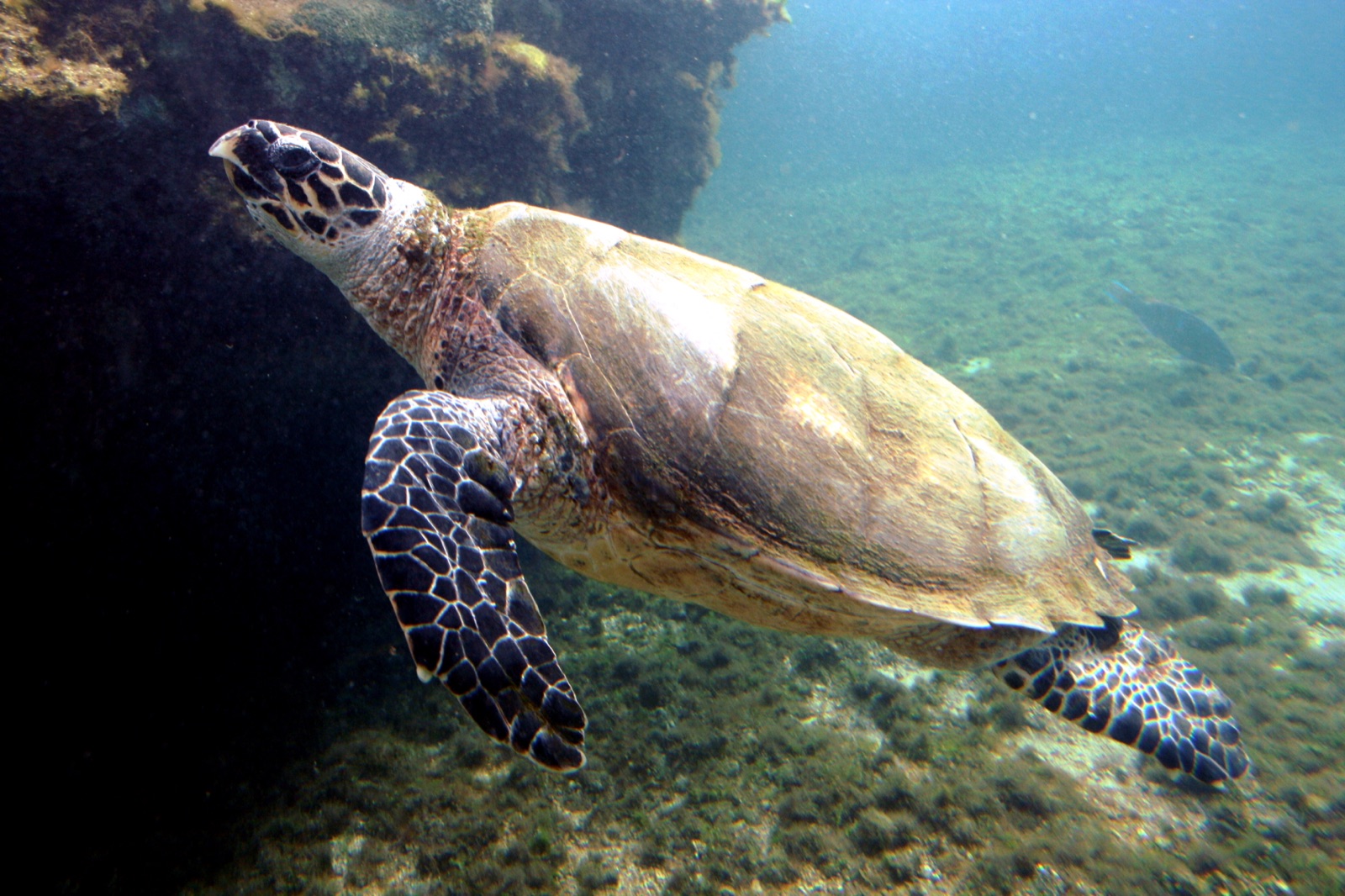
Hawksbill Turtle
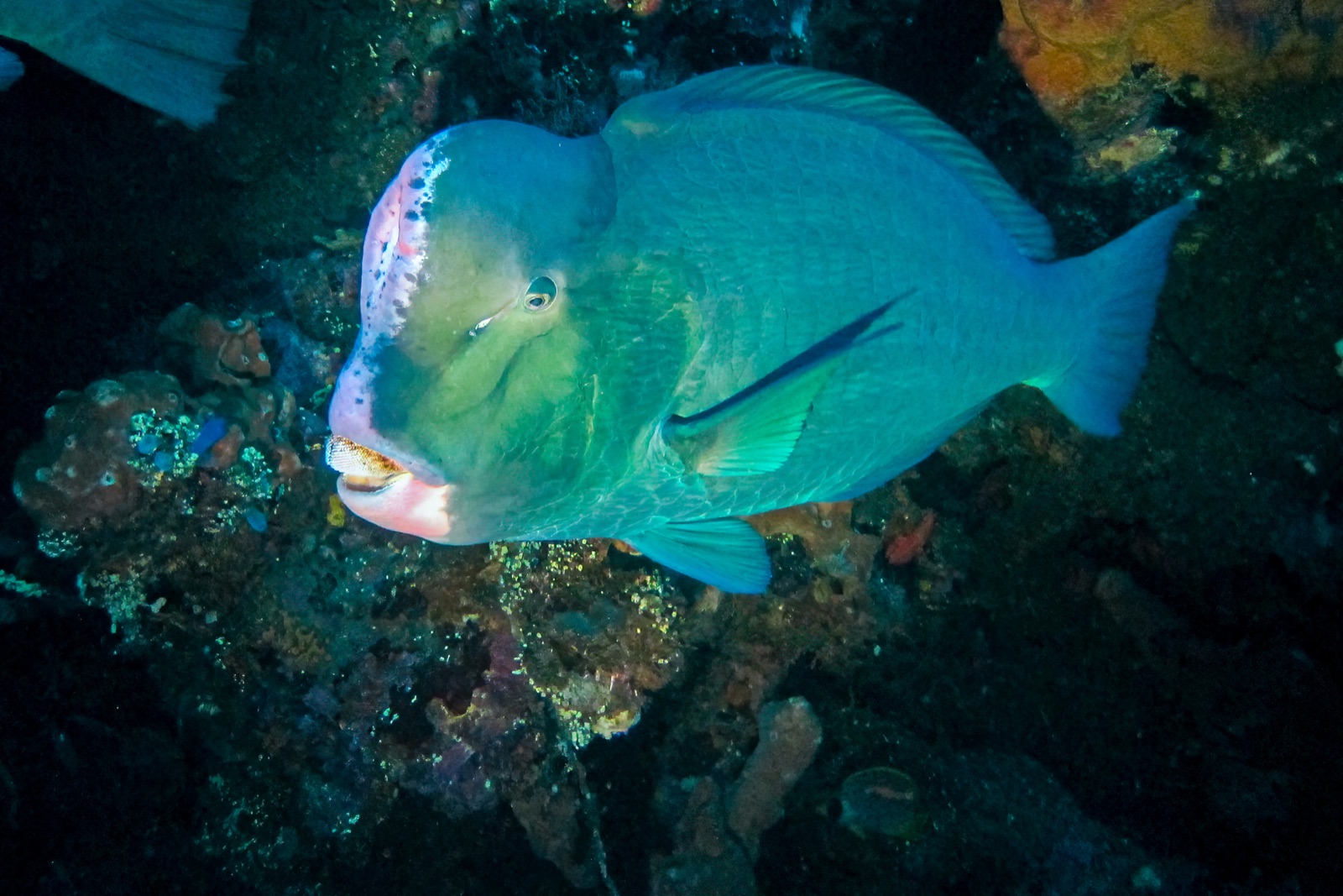
Bumphead Parrotfish
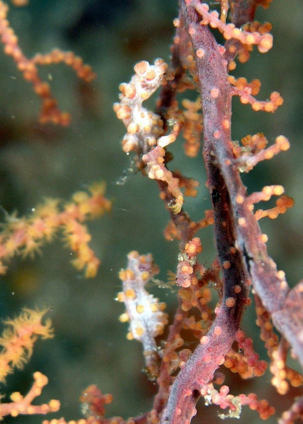
Pygmy Seahorse

Nudibranchs

Clownfish & Anemonefish
周辺でも記録あり
「ここに記載」の生物種は、このページの情報源をもとに編集部が登録したものです。件数はGBIFの出現記録数で、1990年以降に登録地点から約5km以内で記録された観察データのうち、当サイトのカタログ掲載種に一致したものです。そこで実際に目撃された記録であり、潜水時の遭遇を保証するものではありません。
水中フォトグラファー向け
ワイドアングル: ★★★★★ · マクロ: ★★★★☆ (各撮影スタイルに対するこのサイトの評価(編集部による1〜5点))